The best gravel rides around Area P (Rivers and the Peaks)
4.7
(3)
49
riders
7
rides
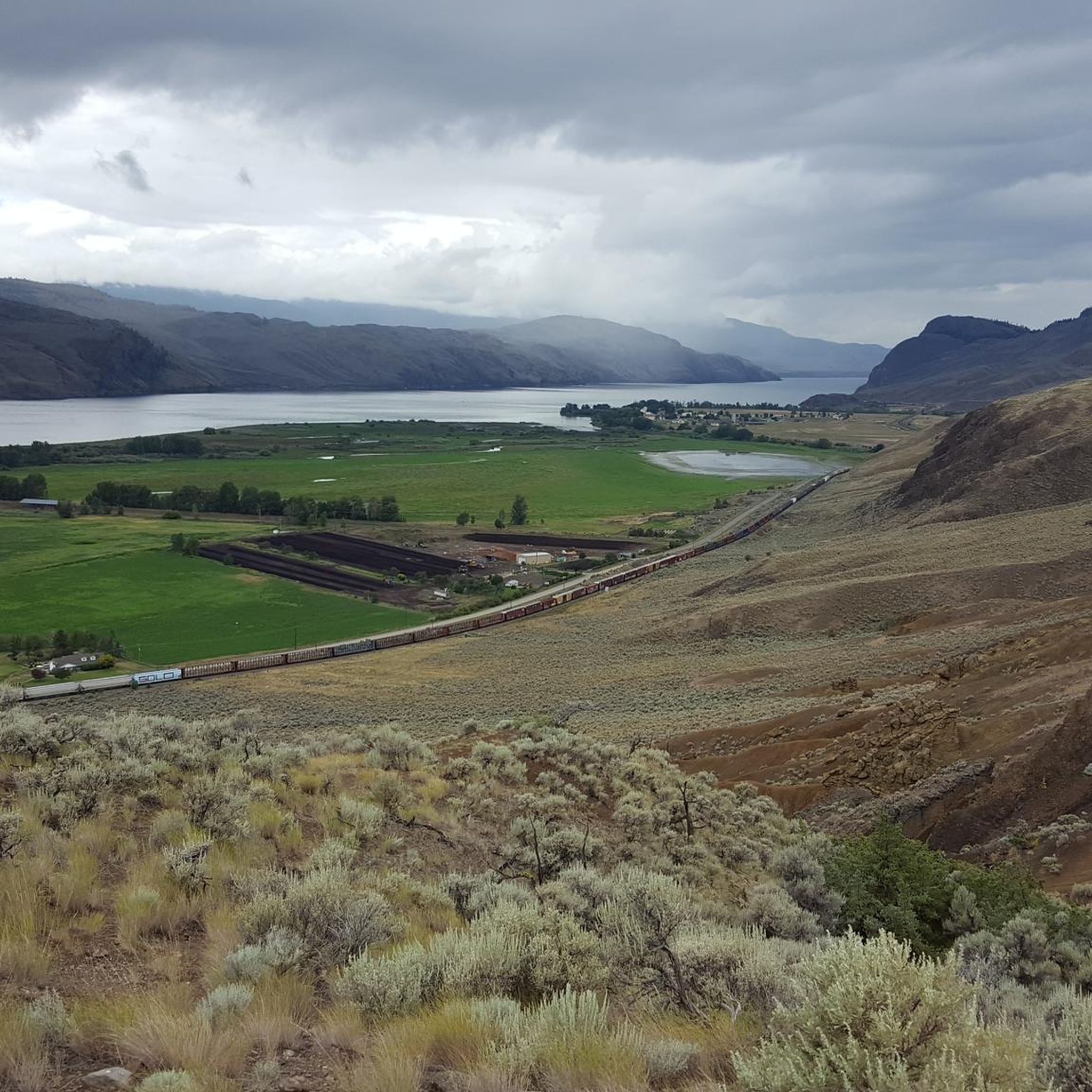
Gravel biking around Area P (Rivers and the Peaks) offers diverse terrain within the Thompson-Nicola Regional District of British Columbia, Canada. The region features significant elevation changes, ranging from river valleys to higher peaks, with an average elevation of 1,025 meters. Riders can expect a mix of rolling hills, forested areas, and extensive forest service roads. This varied topography provides dynamic and engaging routes for gravel cyclists.
Best gravel bike trails around Area P (Rivers and the Peaks)
- The most popular gravel bike trail is Tom Moore Trail – Grasslands Trail loop from Kamloops, a 47.3 miles (76.1 km) trail that takes 5 hours 55 minutes to complete. This difficult route offers a long and challenging ride through varied landscapes.
- Another top favourite among local gravel bikers is Birds of Prey Sanctuary loop from Cummins, a difficult 33.0 miles (53.2 km) path. This route explores diverse terrain near a wildlife sanctuary, providing scenic views.
- Local gravel bikers also love the Grasslands Trail – Tom Moore Trail loop from Kamloops, a 32.5 miles (52.3 km) trail leading through grasslands and river valleys, often completed in about 4 hours 28 minutes.
- Gravel biking around Area P (Rivers and the Peaks) is defined by river valleys, rolling hills, and extensive forest service roads. The network offers options for different ability levels, though many routes present significant challenges.
- The routes in Area P (Rivers and the Peaks) are highly rated by the komoot community with an average score of 4.5 stars from over 2 reviews. More than 40 gravel bikers have used komoot to explore Area P (Rivers and the Peaks)'s varied terrain.
Last updated: October 6, 2026
4.0
(1)
16
riders
76.2km
05:52
1,260m
1,260m
Hard gravel ride. Very good fitness required. Mostly paved surfaces. Suitable for all skill levels.
5.0
(1)
5
riders
42.0km
03:28
820m
820m
Hard gravel ride. Very good fitness required. Mostly paved surfaces. Suitable for all skill levels.

10
riders
52.0km
03:38
930m
930m
Hard gravel ride. Very good fitness required. Mostly paved surfaces. Suitable for all skill levels.
5.0
(1)
8
riders
53.2km
03:57
830m
830m
Hard gravel ride. Very good fitness required. Mostly paved surfaces. Suitable for all skill levels.
5
riders
50.2km
03:41
690m
690m
Hard gravel ride. Very good fitness required. Mostly paved surfaces. Suitable for all skill levels.
Get access to more routes and recommendations from other explorers.
Already have an account?
Our route recommendations are based on thousands of hikes, rides, and runs completed by other people on komoot.
Start today with a free account
Your next adventure awaits.
Popular around Area P (Rivers and the Peaks)

Vancouver roundtrip — Bikepacking British Columbia

Canada by train – scenic hikes from Western stations

Pacific charm and peak happiness in British Columbia

Forests, desert, wilderness - day tours in British Columbia
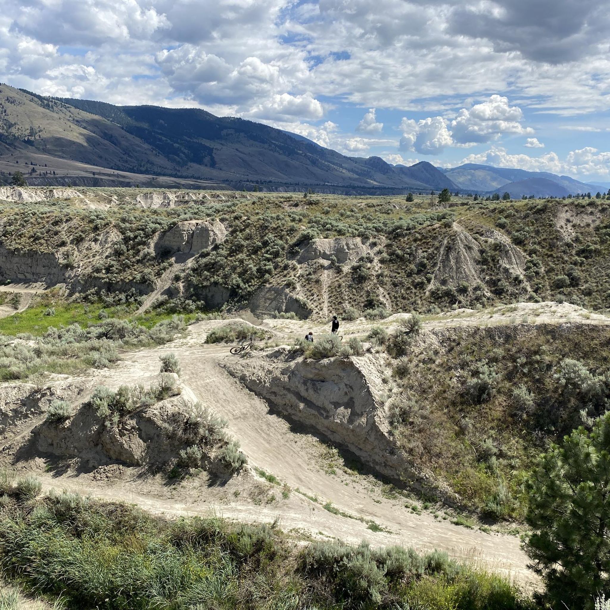
Hiking around Area P (Rivers and the Peaks)
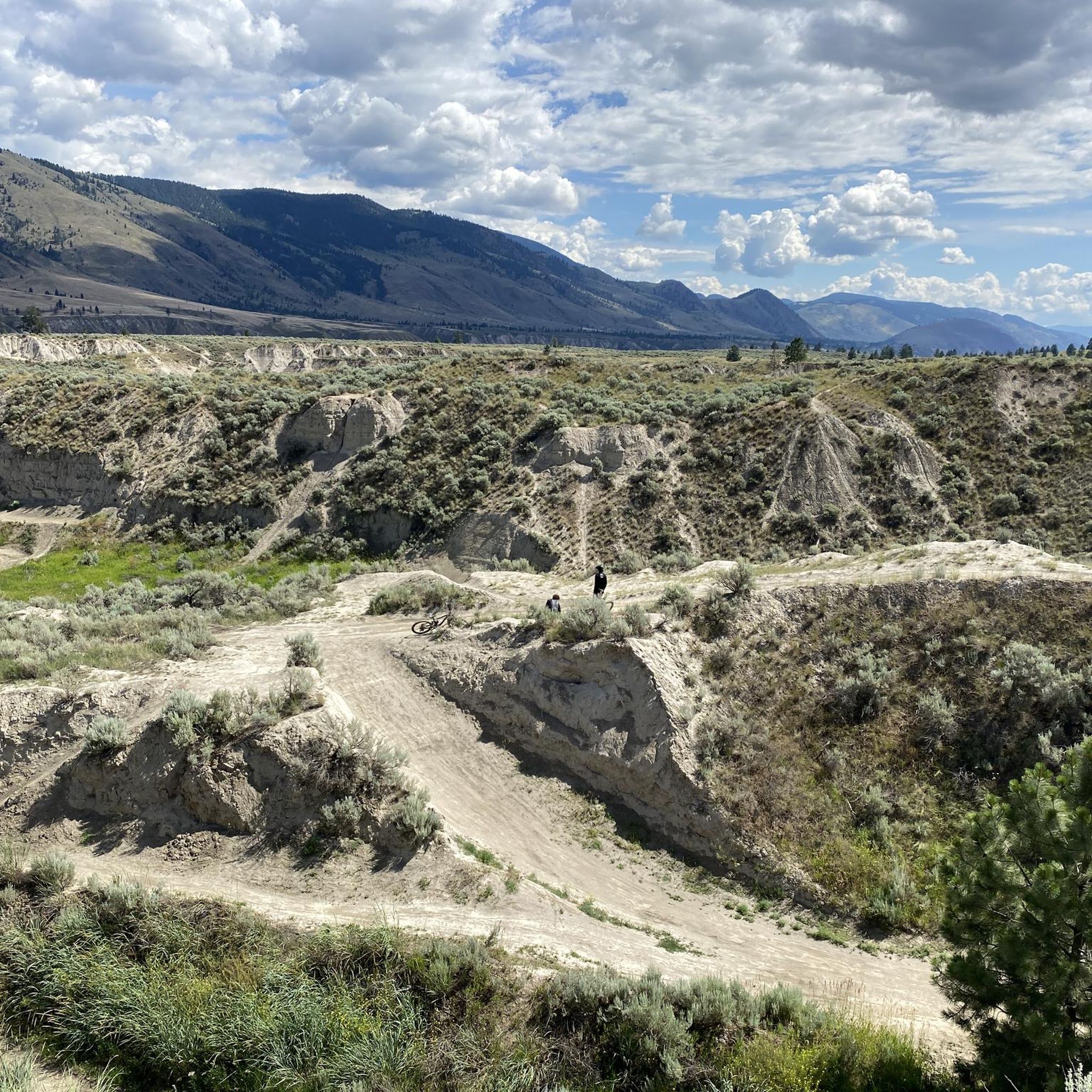
Running Trails around Area P (Rivers and the Peaks)
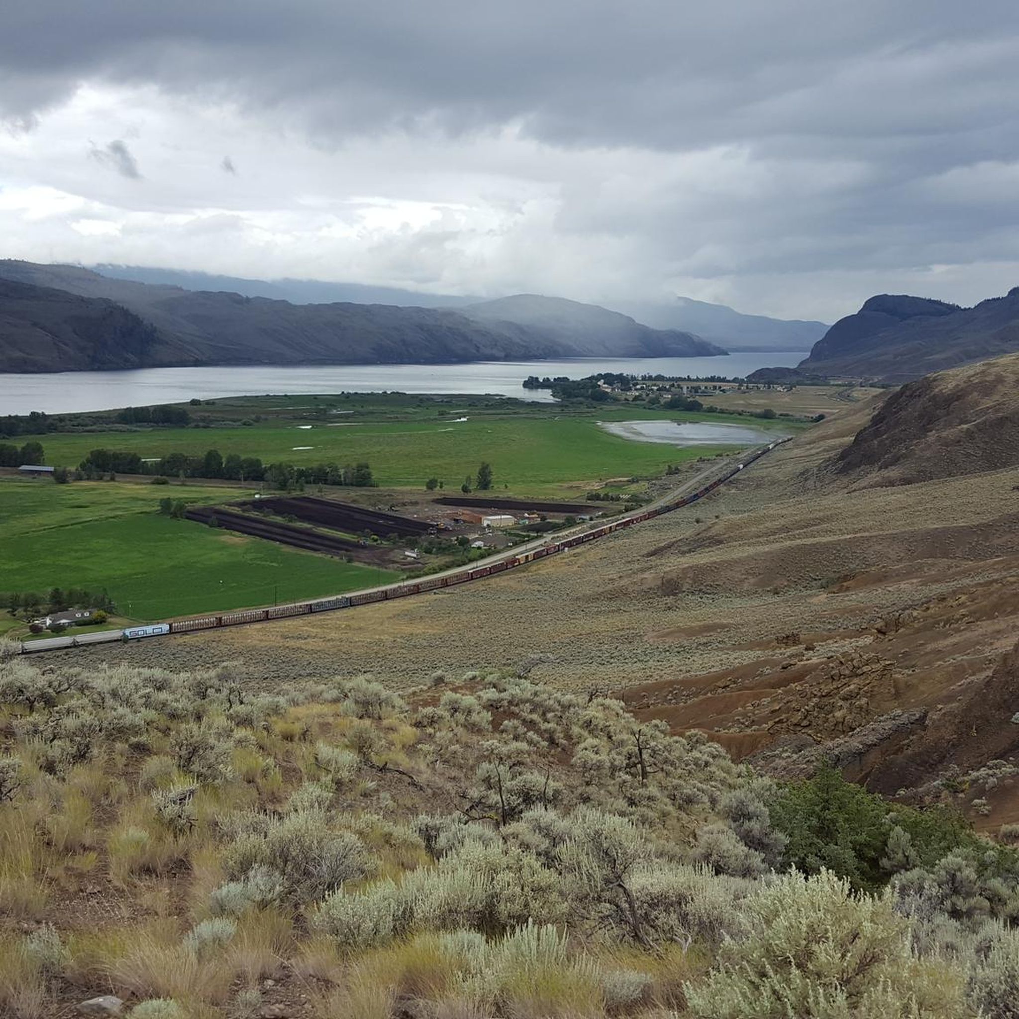
Cycling around Area P (Rivers and the Peaks)
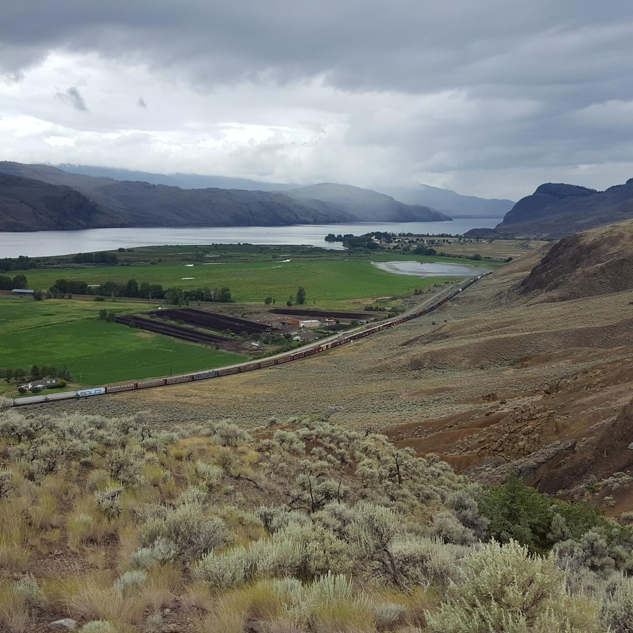
MTB Trails around Area P (Rivers and the Peaks)
Road Cycling Routes around Area P (Rivers and the Peaks)
Other adventures around Area P (Rivers and the Peaks)


Tips from the Community

This trail is one of the most scenic of the Dallas Barnhartvale trails. It starts right off Eliza Drive, at Barnhartvale gate, and quickly offers amazing views of the valley below.
0
0
The paved Xget’tem’ Trail climbs steadily through Peterson Creek Nature Park, offering a peaceful escape right from Kamloops’ downtown edge. Meaning “deep valley” in the Secwépemc language and pronounced hawk-tum, this out-and-back route is cleared in winter and lit at night, making it a lovely lantern-lined walk with sweeping views.
0
0
The Xget’tem’ section of Peterson Creek Park is a relaxed spot for a family hike or picnic near Springhill Creek. Grassy areas, picnic tables and barbecue spots make it easy to linger, while the multi-use Xget’tem’ Trail offers a pleasant way to stretch your legs through the park.
0
0

The Rivers Trail at Pioneer Park is a paved path that takes you by the old railway with beach access and plenty of parking. It's fun to see the old rail cars along the side of the path, and you get a nice view of the river by the bridge.
0
0

Peterson Creek Nature Park is a beautiful natural area in Kamloops, with rugged hillsides, sagebrush grasslands, and shaded creekside trails that create a surprisingly peaceful setting close to downtown. There is a network of walking paths that wind through the canyon, crossing bridges and climbing to viewpoints overlooking Peterson Creek, with seasonal waterfalls and plenty of varied terrain adding to the scenery. The mix of dry grasslands, forested sections, and flowing water gives the park a distinct landscape that feels wild, yet it's easily accessible, making it a fantastic place to spend time outdoors.
0
0

very beautiful and uninhabited easy to Sun Peaks by bike
0
0
Frequently Asked Questions
How many gravel bike trails are available in Area P (Rivers and the Peaks)?
There are currently 7 gravel bike trails documented in Area P (Rivers and the Peaks) on komoot, offering a range of challenging rides through diverse landscapes.
What kind of terrain can I expect on gravel bike trails in Area P?
Gravel biking in Area P offers a diverse mix of terrain, from river valleys and rolling hills to more challenging sections with significant elevation changes. You'll primarily ride on extensive forest service roads and repurposed logging roads, which wind through forested areas, past rural lakeside communities like Pinantan Lake and Paul Lake, and along the South Thompson River.
Are there any family-friendly gravel bike routes in Area P?
The gravel bike trails currently listed for Area P (Rivers and the Peaks) are all rated as difficult, featuring significant distances and elevation gains. For example, the Tom Moore Trail – Grasslands Trail loop from Kamloops is over 76 km long with more than 1200 meters of climbing. These routes are generally better suited for experienced gravel cyclists rather than families with young children.
What do other gravel bikers enjoy the most about riding in Area P (Rivers and the Peaks)?
The komoot community rates the gravel biking experience in Area P highly, with an average score of 4.5 stars. Riders often praise the varied terrain and the sense of adventure offered by the extensive network of forest service roads. The region's natural beauty, including lakes, rivers, and views of surrounding peaks, also contributes to a rewarding experience.
Are there any circular gravel bike routes in Area P?
Yes, many of the gravel bike routes in Area P are designed as loops. For instance, the Tom Moore Trail – Grasslands Trail loop from Kamloops and the Birds of Prey Sanctuary loop from Cummins are popular circular options, allowing you to start and finish at the same point.
What natural features or landmarks can I see along the gravel bike trails?
The trails in Area P offer glimpses of the region's diverse geology. You might encounter unique formations like Hoodoos and rock formations or views of basalt columns. Additionally, many routes provide scenic vistas, such as the Battle Bluff Cairn and View of Kamloops Lake, and pass by beautiful lakes like Tod Lake.
What is the best time of year for gravel biking in Area P?
The varied elevations in Area P mean conditions can change seasonally. Spring and fall generally offer pleasant temperatures for gravel biking. Summer can be warm, especially in lower valleys, while winter brings snow to higher elevations, making some routes impassable. Always check local weather and trail conditions before heading out.
Are there any beginner-friendly gravel bike routes in Area P?
Currently, all the gravel bike routes listed in Area P (Rivers and the Peaks) are rated as difficult. They typically involve significant distances and considerable elevation gain, such as the Juniper Pond – Campbell Pond loop from Barnhartvale, which covers nearly 50 km with over 660 meters of climbing. Riders should have a good level of fitness and experience with gravel terrain.
Is public transport available to access gravel bike trails in Area P?
Access to many gravel bike trails in Area P, particularly those utilizing forest service roads, often requires personal vehicle transport. While some routes may start near communities like Kamloops, which has public transit, direct public transport links to the more remote trailheads are generally limited. Planning for car access is advisable.
Where can I find parking for gravel biking in Area P?
Parking availability will vary depending on the specific trailhead. For routes starting near towns or established recreational areas, designated parking lots may be available. For more remote forest service road access points, parking might be less formal. Always ensure you park legally and do not block access roads or private property.
Are there any routes that explore the North Thompson Valley?
The North Thompson Valley is a defining feature of Area P. While specific routes directly named for the valley aren't listed, many of the region's gravel trails, such as the McGillivray Lake loop from P5, traverse areas within or adjacent to the valley, offering views and terrain characteristic of this river-carved landscape.
Can I find routes that pass by any of the rural lakeside communities?
Yes, the region is known for its rural lakeside communities like Pinantan Lake, Paul Lake, Heffley Lake, and Knouff Lake. While specific routes passing directly through these communities are not detailed, the extensive network of forest service roads often connects areas near these scenic lakes, providing opportunities to incorporate them into your ride or visit them nearby.
Most popular routes around Area P (Rivers and the Peaks)
Most popular attractions around Area P (Rivers and the Peaks)

Get inspired with the komoot mobile app


Explore more
Browse the best Gravel rides in other regions.
