The best road cycling routes around Area P (Rivers and the Peaks)
96
riders
6
rides
Road cycling around Area P (Rivers and the Peaks) offers diverse landscapes characterized by a dynamic interplay of rivers, rolling terrain, and peaks. The region features routes that wind through forests and high desert, providing varied cycling experiences. Cyclists encounter both gradual ascents and steeper climbs, with many routes following or crossing river systems. The area's topography includes picturesque buttes and significant elevation changes, making it suitable for different fitness levels.
Best road cycling routes around Area P (Rivers and…
Last updated: September 30, 2026
20
riders
97.9km
04:32
830m
830m
Moderate road ride. Good fitness required. Mostly well-paved surfaces and easy to ride.
32
riders
44.3km
02:06
260m
260m
Moderate road ride. Good fitness required. Some segments of this route may be unpaved and difficult to ride.

19
riders
32.5km
01:44
260m
260m
Easy road ride. Great for any fitness level. Mostly well-paved surfaces and easy to ride.
6
riders
21.1km
01:02
90m
90m
Easy road ride. Great for any fitness level. Mostly well-paved surfaces and easy to ride.
12
riders
29.1km
01:23
200m
200m
Moderate road ride. Great for any fitness level. Some segments of this route may be unpaved and difficult to ride.
Our route recommendations are based on thousands of hikes, rides, and runs completed by other people on komoot.
Start today with a free account
Your next adventure awaits.
Popular around Area P (Rivers and the Peaks)

Vancouver roundtrip — Bikepacking British Columbia

Canada by train – scenic hikes from Western stations

Pacific charm and peak happiness in British Columbia

Forests, desert, wilderness - day tours in British Columbia
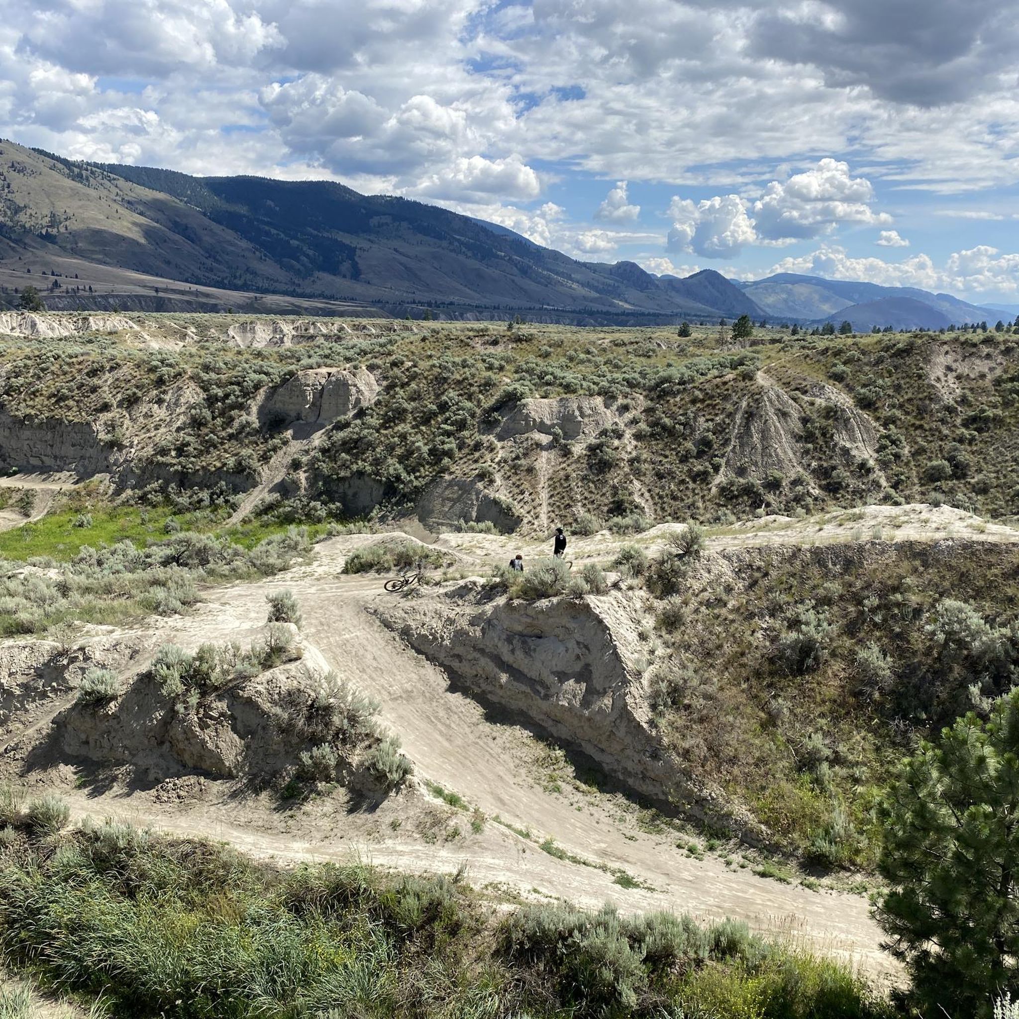
Hiking around Area P (Rivers and the Peaks)
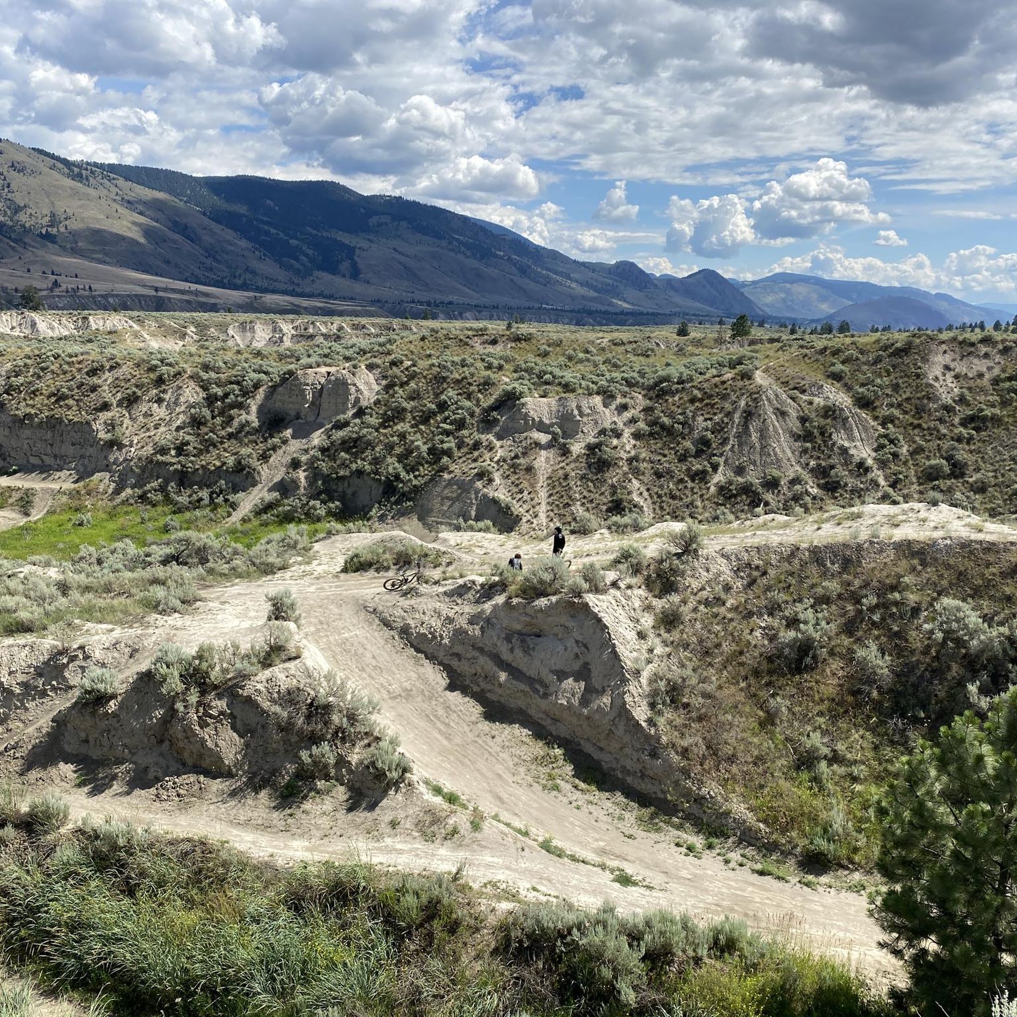
Running Trails around Area P (Rivers and the Peaks)
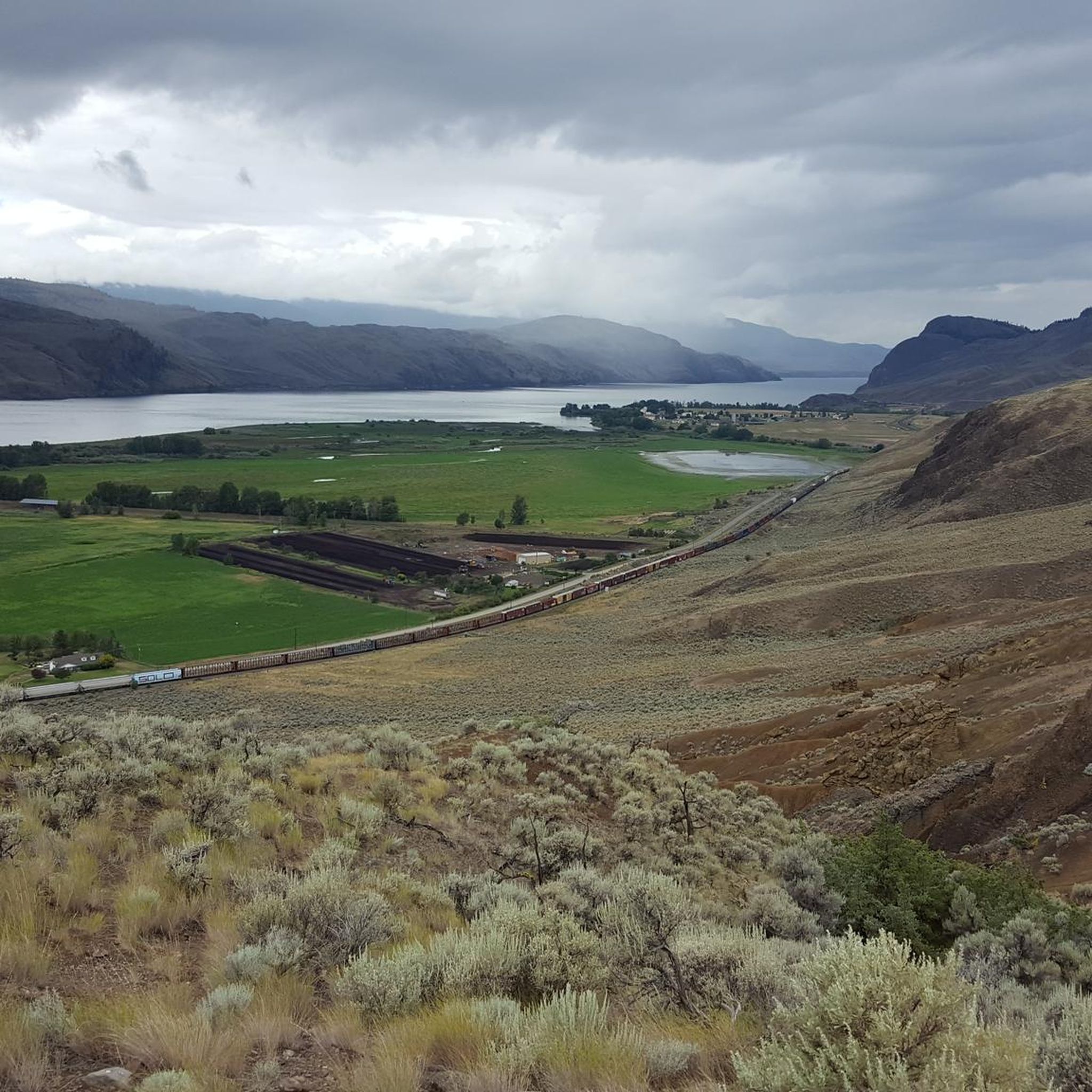
Cycling around Area P (Rivers and the Peaks)
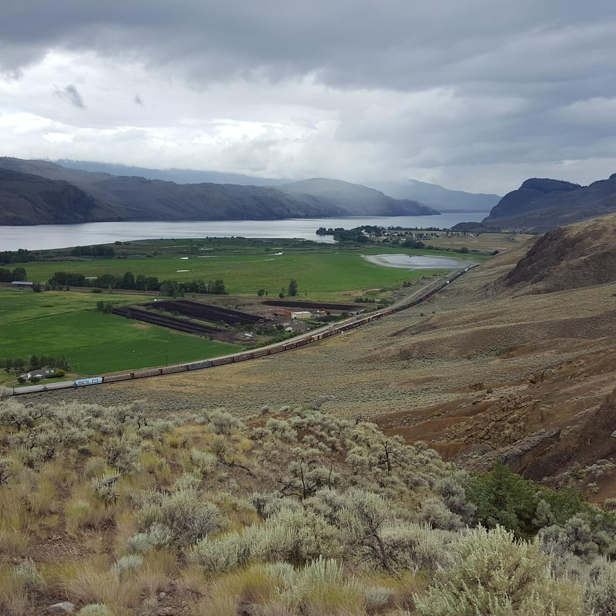
MTB Trails around Area P (Rivers and the Peaks)

Gravel biking around Area P (Rivers and the Peaks)
Other adventures around Area P (Rivers and the Peaks)


Tips from the Community

Here there is access to the Rivers Trail just behind the school. There is parking available here, making it a convenient spot to start a walk, or a good place to turn around if hiking from another section.
0
0
This lookout connects to the Rivers Trail and offers a very nice panorama over the river and the surrounding valley. There is a gazebo hare where you can rest and enjoy the views as well as some interesting sculptures.
0
0

The Xget’tem’ section of Peterson Creek Park is a relaxed spot for a family hike or picnic near Springhill Creek. Grassy areas, picnic tables and barbecue spots make it easy to linger, while the multi-use Xget’tem’ Trail offers a pleasant way to stretch your legs through the park.
0
0

The park has a neat row of benches overlooking the South Thompson River, open green space, and a collection of large outdoor modern art statues including the 'Forest Plaza' and 'Creation'. The path is paved and partially shaded by trees planted along the waterfront.
0
0
The Rivers Trail at Pioneer Park is a paved path that takes you by the old railway with beach access and plenty of parking. It's fun to see the old rail cars along the side of the path, and you get a nice view of the river by the bridge.
0
0

This park has 12 baseball diamonds, disc golf, multi-use paths, soccer fields, a skate park, tennis courts, a stadium, event centre, and more! In short, there is something for everyone here, so no matter what you're looking for you'll likely find it.
0
0
Frequently Asked Questions
How many road cycling routes are available in Area P (Rivers and the Peaks)?
There are currently 7 moderate road cycling routes available in Area P (Rivers and the Peaks) on komoot. These routes offer diverse landscapes and cater to various fitness levels.
What kind of terrain can I expect on road cycling routes in Area P (Rivers and the Peaks)?
Road cycling in Area P (Rivers and the Peaks) features a dynamic mix of rolling terrain, forests, and high desert. You'll encounter both gradual ascents and steeper climbs, with many routes following or crossing scenic river systems. The region also offers views of picturesque buttes and, in some areas, snow-capped Cascade mountains.
Are there any family-friendly road cycling routes in Area P (Rivers and the Peaks)?
While all routes are currently rated as moderate, options like the Overlanders Beach – Red Bridge loop from Kamloops, at 21.3 km with 93m elevation gain, offer a shorter distance and less climbing, which might be more suitable for families with older children or those looking for a less strenuous ride. Always consider the fitness level of all participants.
What are some scenic viewpoints along the road cycling routes in Area P (Rivers and the Peaks)?
Many routes offer stunning vistas. You can find breathtaking views at locations such as Battle Bluff Cairn and View of Kamloops Lake, or enjoy the unique geological formations like the View of basalt columns. The View of Kamloops Lake from Lac du Bois Grasslands also provides expansive scenery.
Are there any circular road cycling routes in Area P (Rivers and the Peaks)?
Yes, all the featured road cycling routes in Area P (Rivers and the Peaks) are circular loops. Examples include the challenging Birds of Prey Sanctuary loop from Sweláps Market and the more moderate Overlanders Beach loop from Kamloops.
What is the best time of year for road biking in Area P (Rivers and the Peaks)?
The region around Kamloops, British Columbia, generally offers excellent road cycling conditions from late spring through early autumn. During these months, the weather is typically mild, and the routes are clear of snow, allowing for enjoyable rides through the diverse landscapes.
What do other road cyclists enjoy the most about road cycling in Area P (Rivers and the Peaks)?
The komoot community highly rates the road cycling experience in Area P (Rivers and the Peaks), with an average score of 4.0 stars. Cyclists often praise the varied terrain, well-paved surfaces, and the scenic beauty of the river valleys and forested sections.
Are there any challenging road bike routes for advanced cyclists in Area P (Rivers and the Peaks)?
For advanced cyclists seeking a challenge, the Birds of Prey Sanctuary loop from Sweláps Market is a notable option. This 94.1 km route features significant elevation gain (768m), requiring good fitness and offering a rewarding ride through natural wildlife areas.
What attractions can I explore near the road cycling routes?
Beyond the cycling itself, you can visit Sun Peaks Village, enjoy the tranquility of Tod Lake, or explore the natural beauty of the Lac du Bois Grasslands Protected Area. Riverside Park Beach also offers a pleasant stop.
Are there routes that combine lake and beach areas?
Yes, the Louis Lake – Musicians Beach loop from Kamloops is a great option. This 47.7 km route leads through scenic lake and beach areas, providing diverse scenery during your ride.
Where do most road cycling routes in Area P (Rivers and the Peaks) typically start?
Many of the road cycling routes in Area P (Rivers and the Peaks) are easily accessible from urban centers like Kamloops. This provides convenient starting points and access to amenities before and after your ride.
Most popular routes around Area P (Rivers and the Peaks)
Most popular attractions around Area P (Rivers and the Peaks)

Get inspired with the komoot mobile app


Explore more
Browse the best Road cycling routes in other regions.
