The best walks and hikes around Gillenfeld
4.5
(3743)
11,966
hikers
82
hikes
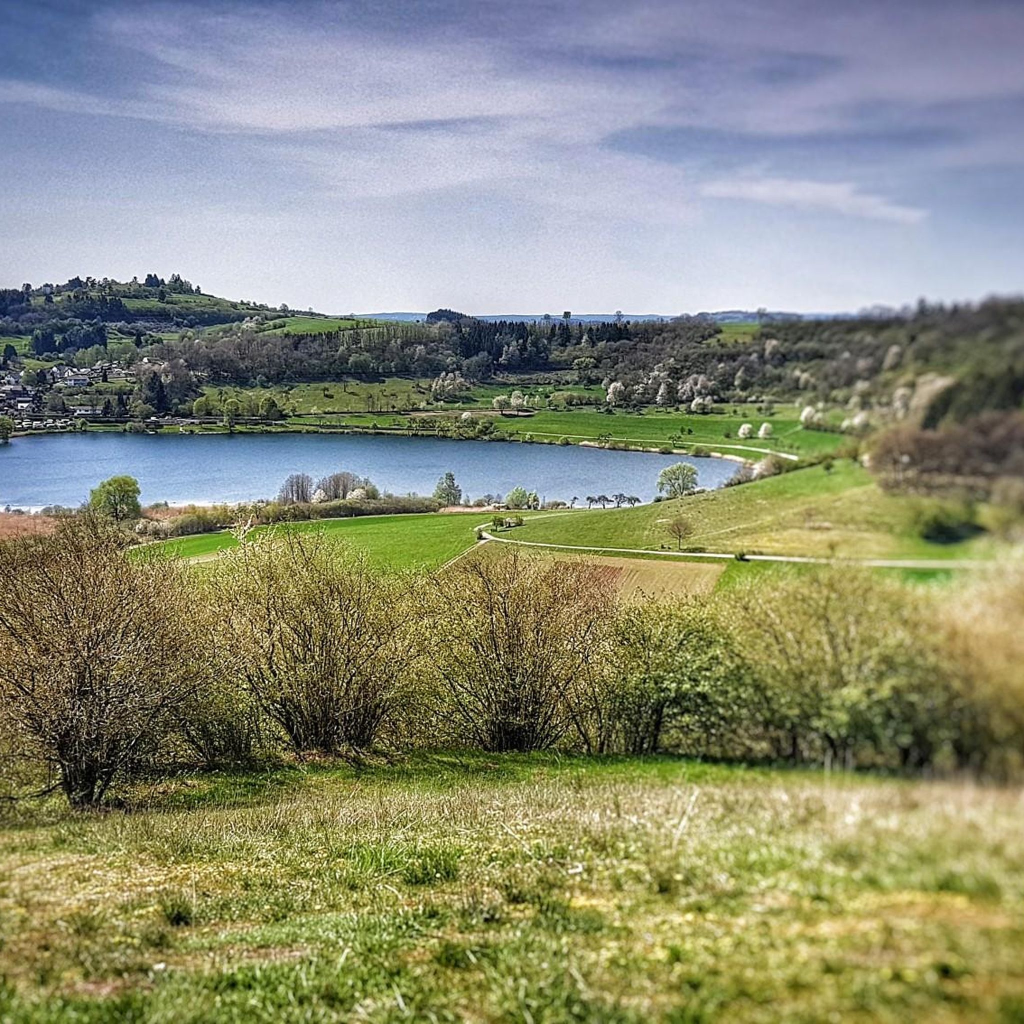
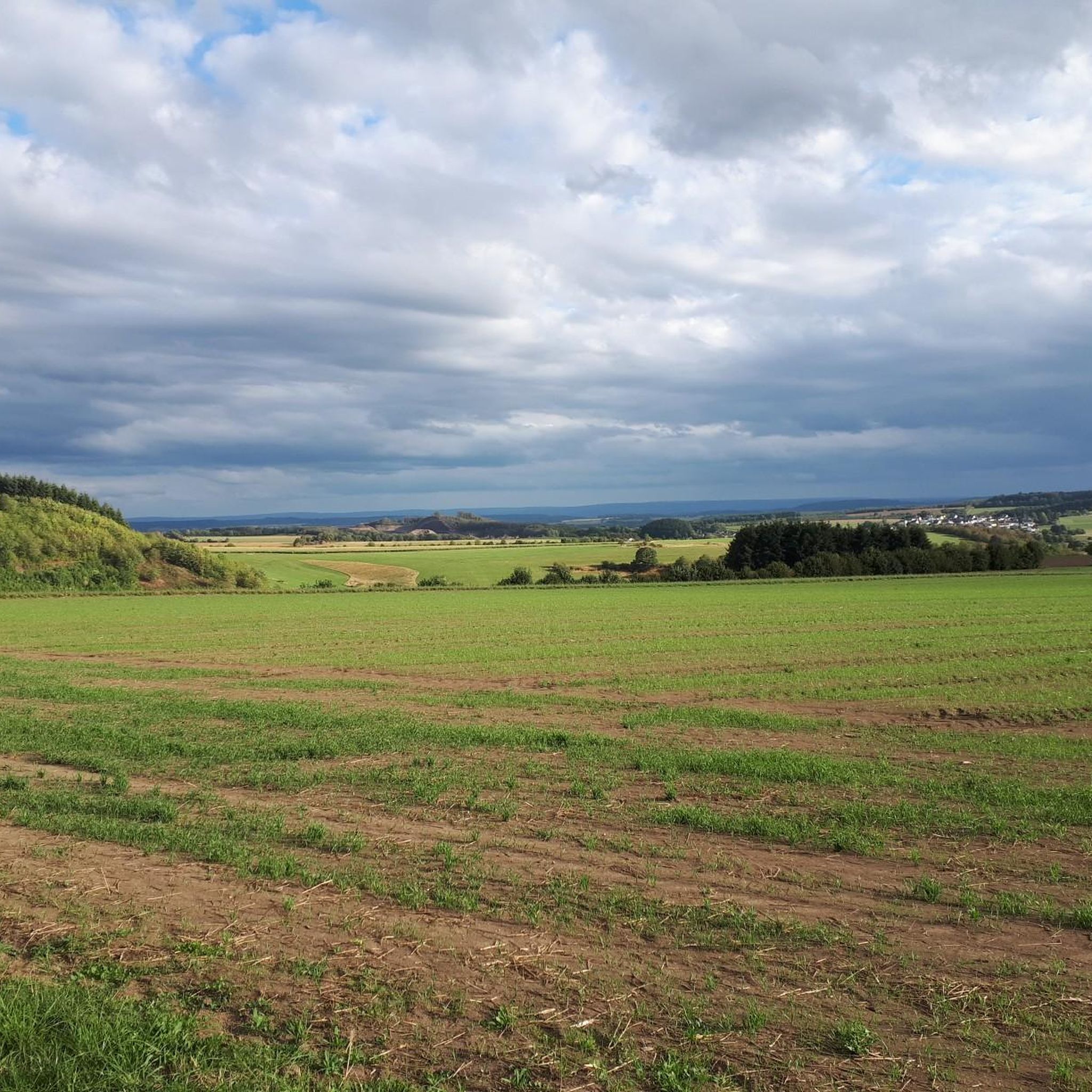
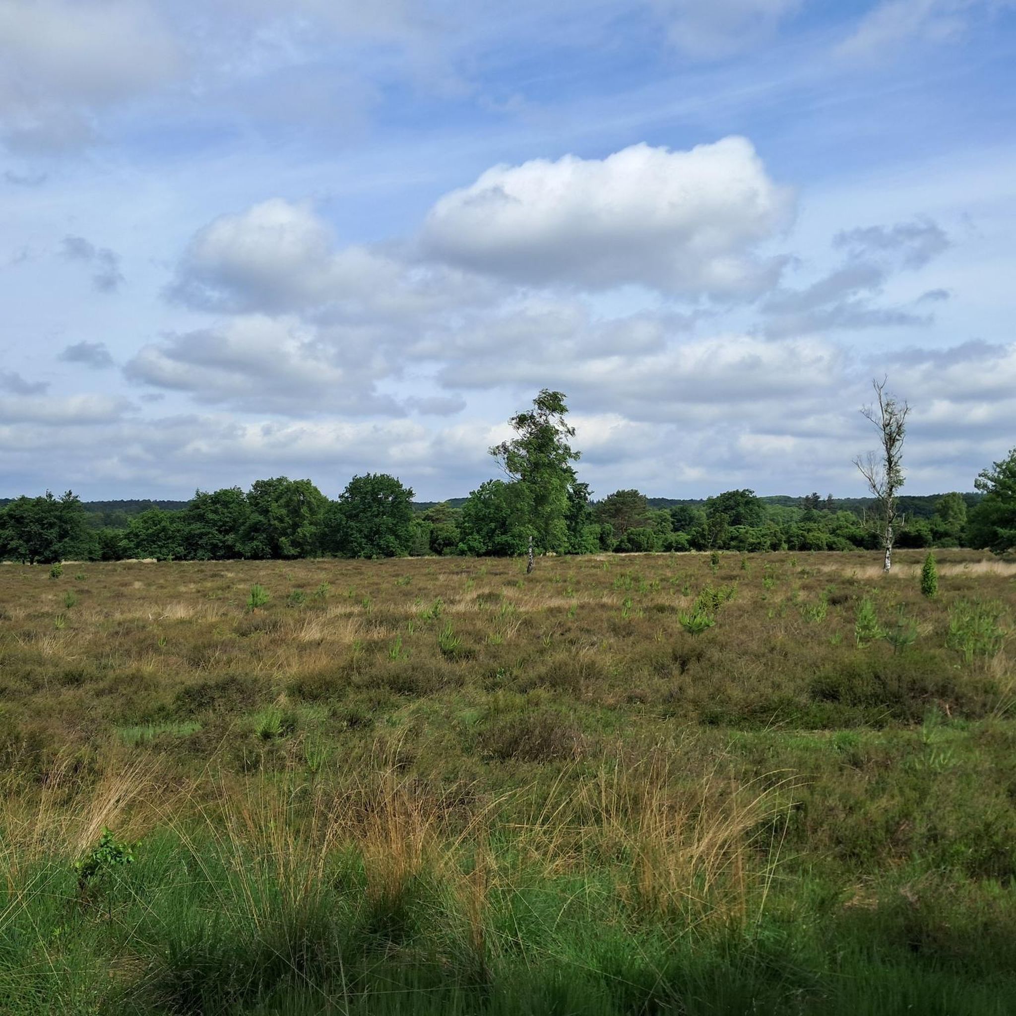
Hiking around Gillenfeld offers access to a unique volcanic landscape in Germany's Vulkaneifel district. The region is characterized by numerous maars, which are volcanic crater lakes, forming prominent natural features. The terrain is generally hilly, with varied forests providing diverse environments for outdoor activities. These geological formations and natural settings define the hiking experience in the area.
Best hiking trails around Gillenfeld
- The most popular hiking route is Pulvermaar – Bench with a view of the Pulvermaar loop from Gillenfeld…
Last updated: August 23, 2026
5.0
(4)
10
hikers
18.6km
05:12
360m
340m
Hard hike. Very good fitness required. Mostly accessible paths. Sure-footedness required.
4.4
(97)
252
hikers
Moderate hike. Good fitness required. Easily-accessible paths. Suitable for all skill levels.

Sign up for free
4.5
(46)
167
hikers
6.98km
01:54
100m
100m
Easy hike. Great for any fitness level. Easily-accessible paths. Suitable for all skill levels.
4.3
(24)
84
hikers
13.9km
03:51
250m
250m
Moderate hike. Good fitness required. Easily-accessible paths. Suitable for all skill levels.
4.7
(18)
73
hikers
11.9km
03:12
140m
140m
Moderate hike. Good fitness required. Easily-accessible paths. Suitable for all skill levels.
Get access to more routes and recommendations from other explorers.
Sign up for free
Already have an account?
Our route recommendations are based on thousands of hikes, rides, and runs completed by other people on komoot.
Start today with a free account
Your next adventure awaits.
Login or Signup
Popular around Gillenfeld



Tips from the Community

swimming and boating with your own inflatable boat
0
0

Impressive 250-year-old beech trees by the roadside.
0
0
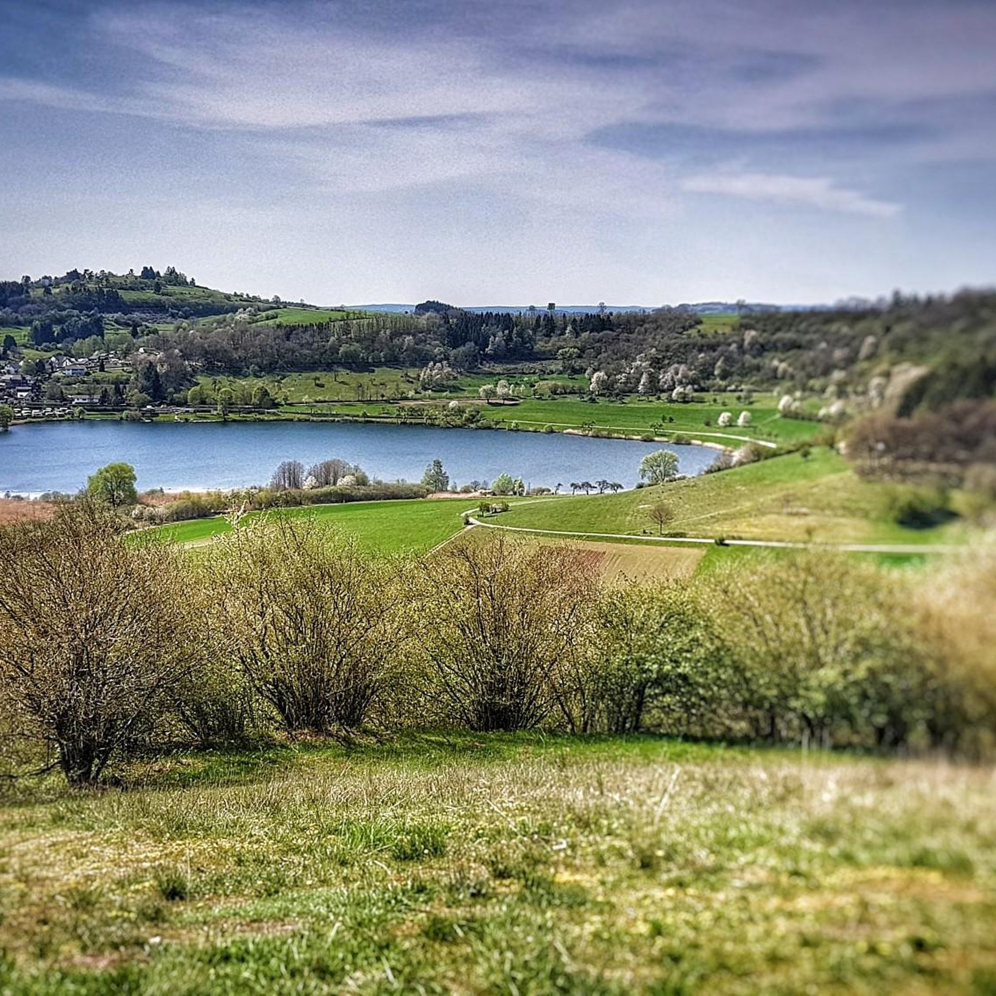
The Pulvermaar is the best-preserved maar in the Eifel: The crater is completely filled with water and surrounded by an almost closed tuff wall. It is the maar with the largest water surface and is 74 meters deep. This makes it the deepest maar in the Eifel and also one of the deepest lakes in Germany. Source: https://www.geopark-vulkaneifel.de/eifel/landschaft/maare-und-kraterseen/pulvermaar.html
0
0
A maar lake without an inflow - the water is replenished exclusively by precipitation, surface water and groundwater. In this diverse and extremely fertile habitat, rich plant life thrives and numerous animals find a safe haven.
0
0
The Trautzberer Maar in the Wartgesberg nature reserve had been drained in the sixties because new agricultural land was to be gained. But in 2014, the Maar began to be irrigated again and has since become a small lake again.
1
0
Here you can hike relaxed. Wonderful section of the path.
0
0


For cooling down and relaxing in between. Enjoy this clear, refreshing water of the Pulvermaar. Enjoy drinks and food outdoors under trees with a view of the maar at the restaurant.
1
0
Frequently Asked Questions
How many hiking trails are available around Gillenfeld?
Gillenfeld offers a wide variety of hiking experiences, with over 85 trails to explore. These range from easy strolls to more challenging routes, ensuring there's something for every fitness level.
What kind of landscape can I expect when hiking in Gillenfeld?
The landscape around Gillenfeld is defined by its unique volcanic history, featuring numerous maars – volcanic crater lakes. You'll encounter hilly terrain and diverse forests, offering a mix of serene natural environments and panoramic views. The region is part of the Vulkaneifel district, known for its dramatic geological formations.
When is the best time of year to go hiking in Gillenfeld?
The best time for hiking in Gillenfeld is generally from spring to autumn. During these seasons, the weather is mild, and the landscape is vibrant, making for ideal conditions to explore the maars and forests.
Are there any family-friendly hiking options in Gillenfeld?
Yes, Gillenfeld offers several family-friendly options. The Pulvermaar – Bench with a view of the Pulvermaar loop from Gillenfeld is an easy 4.3-mile route suitable for families. Additionally, attractions like the Barfußpfad am Pulvermaar (Barefoot Path) and the 'Määrchen-Naturwaldpfad am Holzmaar' (Fairy Tale Natural Forest Path) provide engaging experiences for all ages, with many trails including rest areas and playgrounds.
Can I bring my dog on the hiking trails in Gillenfeld?
Many hiking trails in Gillenfeld are dog-friendly. However, it's generally recommended to keep dogs on a leash, especially in nature protection areas and during certain seasons, to protect wildlife and ensure a pleasant experience for all hikers. Always check local signage for specific regulations.
Are there hiking trails that offer panoramic views in Gillenfeld?
Absolutely. The region's hilly terrain and volcanic features provide numerous viewpoints. For expansive views over the maars and surrounding area, consider visiting the Dronke Tower on Mäuseberg (Dronke Tower on the Mäuseberg). Many routes around the maars, such as the Pulvermaar loop, also offer stunning vistas.
Are there any circular hiking routes around Gillenfeld?
Yes, Gillenfeld is well-suited for circular hikes. Many trails are designed as loops, allowing you to start and end at the same point. Examples include the popular Pulvermaar – Bench with a view of the Pulvermaar loop from Gillenfeld and the Pulvermaar – Immerath Maar loop from Gillenfeld, which takes you through volcanic maars and forests.
What unique natural features can I discover on a hike in Gillenfeld?
The most prominent natural features are the maars, volcanic crater lakes like the Pulvermaar, Holzmaar, Dürres Maar, and Hitsche Maar. The Pulvermaar is Germany's deepest natural lake after Lake Constance. You can also explore unique geological formations like the Strohner Lava Bomb, which is featured on routes such as the Strohner Lava Bomb – Strohner Switzerland loop from Gillenfeld.
What are some interesting landmarks or attractions to see while hiking near Gillenfeld?
Beyond the maars themselves, you can visit the Dronke Tower on the Mäuseberg for panoramic views. Other notable highlights include the Schalkenmehrener Maar and various viewpoints like the View of the Gemünden maar and the View of the Weinfelder Maar (Totenmaar). The region also has several charming huts and restaurants, such as the Heidsmühle Hotel & Restaurant, perfect for a break.
How can I get to the hiking trails in Gillenfeld using public transport?
Gillenfeld is connected to the regional public transport network. While specific routes vary, buses often serve the village, providing access points to the surrounding hiking areas. It's advisable to check local bus schedules for the most current information on connections to trailheads.
Where can I find parking for hiking trails in Gillenfeld?
Designated parking areas are typically available near popular trailheads and attractions in and around Gillenfeld, especially close to the maars like Pulvermaar. Look for signs indicating 'Wanderparkplatz' (hiking parking) or parking facilities near key points of interest.
What do other hikers enjoy the most about hiking in Gillenfeld?
The hiking trails in Gillenfeld are highly rated by the komoot community, with an average score of 4.5 stars from over 3000 reviews. Hikers often praise the unique volcanic landscape, the stunning beauty of the maars, and the well-maintained paths that cater to various difficulty levels. The diverse forests and panoramic views are frequently highlighted as favorite aspects.
Most popular routes around Gillenfeld
Most popular attractions around Gillenfeld

Get inspired with the komoot mobile app


Explore more
Browse the best Hikes in other regions.
