The best mountain hikes around Gillenfeld
5.0
(164)
745
hikers
8
hikes
Mountaineering routes around Gillenfeld traverse a unique volcanic landscape within the Southern Eifel Nature Park. The region is characterized by its distinctive maars, which are volcanic crater lakes, and varied hilly terrain. These geological features create diverse environments for mountaineering, ranging from paths around the maars to more challenging ascents through forested hills. The landscape offers a mix of open views and sheltered forest passages.
Best mountaineering routes around Gillenfeld
- The most popular mountaineering route is Keep of Oberburg Castle…
Last updated: July 2, 2026
4.8
(152)
683
hikers
Hard mountaineering route. Great for any fitness level. Sure-footedness, sturdy shoes and alpine experience required.
5.0
(5)
24
hikers
Hard mountaineering route. Good fitness required. Sure-footedness, sturdy shoes and alpine experience required.

Sign up for free
5.0
(5)
23
hikers
Hard mountaineering route. Great for any fitness level. Sure-footedness, sturdy shoes and alpine experience required.
7
hikers
Hard mountaineering route. Great for any fitness level. Sure-footedness, sturdy shoes and alpine experience required.
5.0
(1)
3
hikers
8.31km
02:25
210m
220m
Moderate mountaineering route. Good fitness required. Easily-accessible paths. Suitable for all skill levels.
Get access to more routes and recommendations from other explorers.
Sign up for free
Already have an account?
Our route recommendations are based on thousands of hikes, rides, and runs completed by other people on komoot.
Start today with a free account
Your next adventure awaits.
Login or Signup
Popular around Gillenfeld



Tips from the Community

…a great challenging via ferrata in 3 stages with difficulties A - D along above the Lieser
0
0

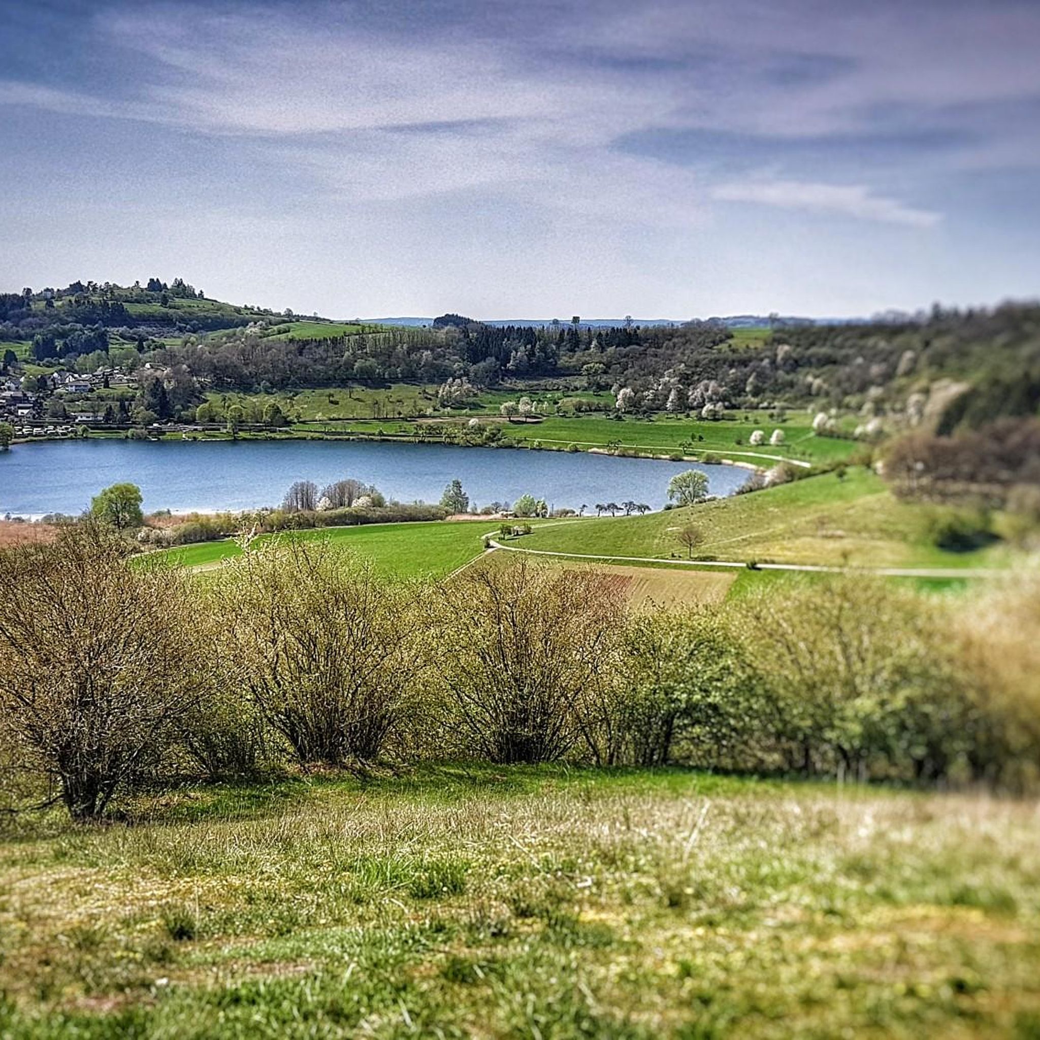
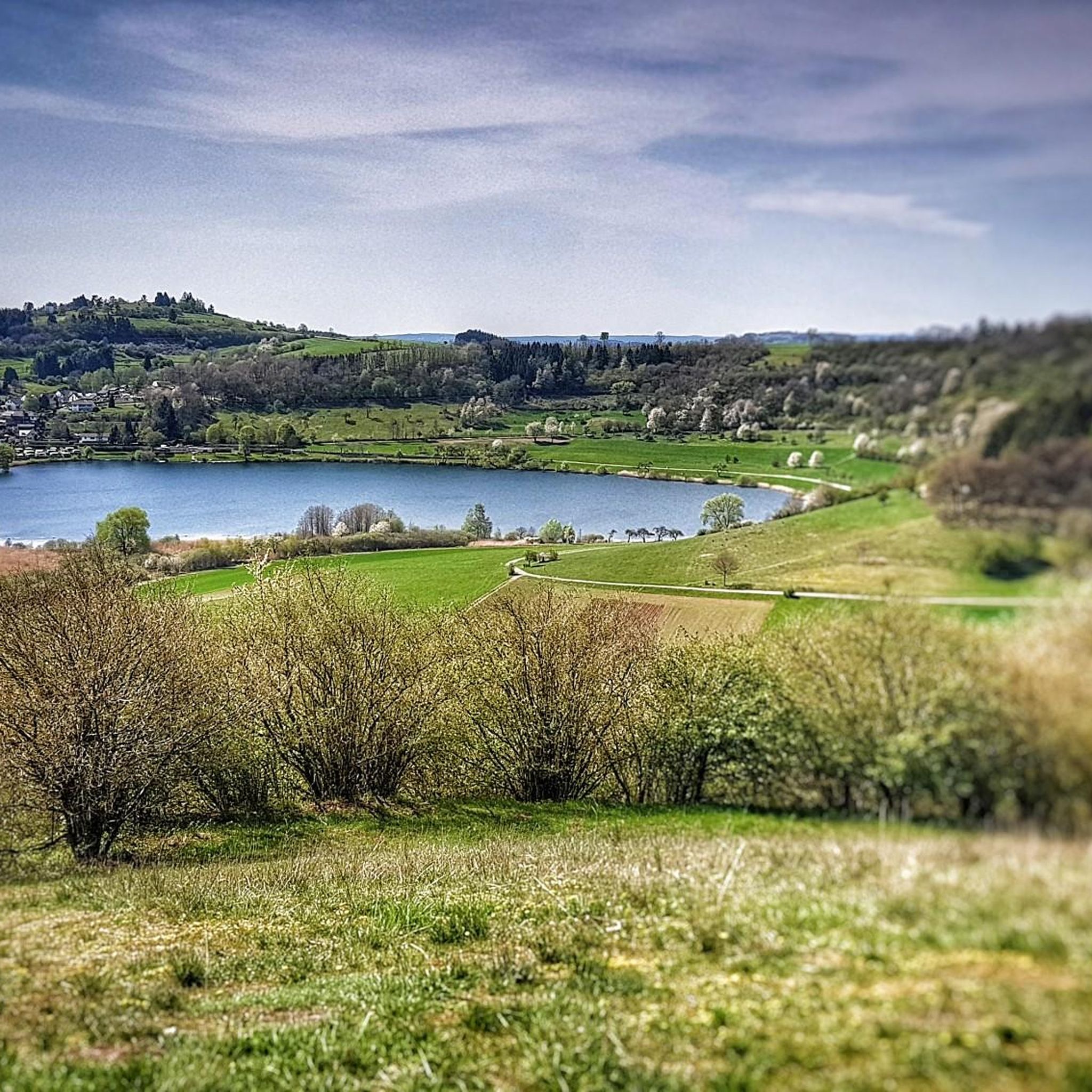
Very nice view of the entire town.
0
0
Behind the Daun ski lift begins the mining zone for volcanic rock near the Gemünden Maar.
0
0
Small ski lift (if there is a bit more snow in winter)
0
0

This is where real climbers come into their own. But that wasn't part of our route.
0
0

There are many wonderful plants to admire in and around the open-cast mine. Broom, lupins, clover...
0
0

A wonderful destination, ideal for hiking and cycling
1
1

Behind the Daun ski lift begins the mining zone of the volcanic rock near the Gemünden Maar.
1
0
Frequently Asked Questions
What are the typical difficulty levels for mountaineering routes around Gillenfeld?
The mountaineering routes around Gillenfeld offer a range of difficulties. You'll find 1 easy route, 5 moderate routes, and 4 difficult routes, ensuring options for various fitness levels and experiences. For example, the Keep of Oberburg Castle loop from Manderscheid is a difficult option, while the View of the Gemündener Maar – Weinfelder Church loop from Schalkenmehren is a moderate choice.
What unique natural features can I expect to see on mountaineering routes in Gillenfeld?
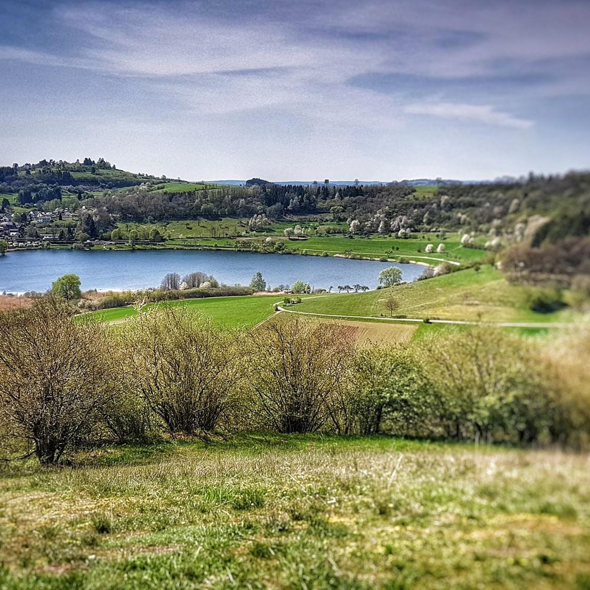
Gillenfeld is renowned for its unique volcanic landscape, particularly its 'Maare' – volcanic crater lakes. You'll encounter stunning features like the deep blue waters of Pulvermaar, the idyllic Holzmaar nestled in a nature reserve, and the impressive trio of Gemünden, Weinfelder, and Schalkenmehren Maare. These 'Eifel eyes' are central to the region's charm and offer distinctive views.
Are there any circular mountaineering routes available in Gillenfeld?
Yes, many routes around Gillenfeld are circular, allowing you to start and end at the same point. For instance, the Wäschebach Suspension Bridge loop from Manderscheid is a popular circular option. The region also features an approximately 8-kilometer circular trail around Pulvermaar and an 11-kilometer route exploring the Gemünden, Weinfelder, and Schalkenmehren Maare.
What are some notable viewpoints or landmarks along the mountaineering routes?
Mountaineering routes in Gillenfeld offer several impressive viewpoints and landmarks. You can visit the Dronke Tower on the Mäuseberg for panoramic views, or enjoy the scenic View of the Gemünden maar. Other highlights include the View of the Weinfelder Maar (Totenmaar) and the Mosenberg Lookout Tower.
What do other mountaineers enjoy most about the routes in Gillenfeld?
The mountaineering routes in Gillenfeld are highly rated by the komoot community, with an average score of 4.9 stars from over 140 reviews. Mountaineers often praise the varied terrain, the distinctive volcanic crater lake landscape, and the well-maintained paths that lead through dense woodlands and offer open views.
Are there any challenging mountaineering routes for experienced hikers?
Absolutely. Gillenfeld offers several challenging routes that require good fitness. Some trails feature elevation gains of up to 3,000 feet and can take up to 5 hours to complete, requiring sure-footedness and sturdy shoes. The Wäschebach Suspension Bridge – Keep of Oberburg Castle loop from Manderscheid is a difficult route with significant elevation changes.
Are the mountaineering routes around Gillenfeld suitable for families?
Yes, Gillenfeld is a popular destination for families. While some routes are challenging, many well-signposted hiking trails include rest areas and playgrounds, making them suitable for families with children. The region's diverse landscapes offer engaging experiences for all ages.
When is the best time of year to go mountaineering in Gillenfeld?
The best time for mountaineering in Gillenfeld is from spring to autumn. During these seasons, the weather is generally mild, and the natural scenery, especially around the maars and through the forests, is vibrant and inviting for outdoor activities.
Can I bring my dog on the mountaineering routes in Gillenfeld?
Many trails in the Southern Eifel Nature Park are dog-friendly, but it's always recommended to keep your dog on a leash, especially in nature reserve areas or near livestock. Always check local signage for specific restrictions on individual routes or protected areas.
Are there any routes that explore multiple Maare?
Yes, a highly recommended 11-kilometer route, often referred to as the 'Three Maars Tour,' allows you to explore the Gemünden Maar, the Weinfelder Maar, and the Schalkenmehren Maar consecutively. This trail winds through varied forests and offers impressive viewpoints of these unique volcanic lakes.
What other activities can I combine with mountaineering in Gillenfeld?
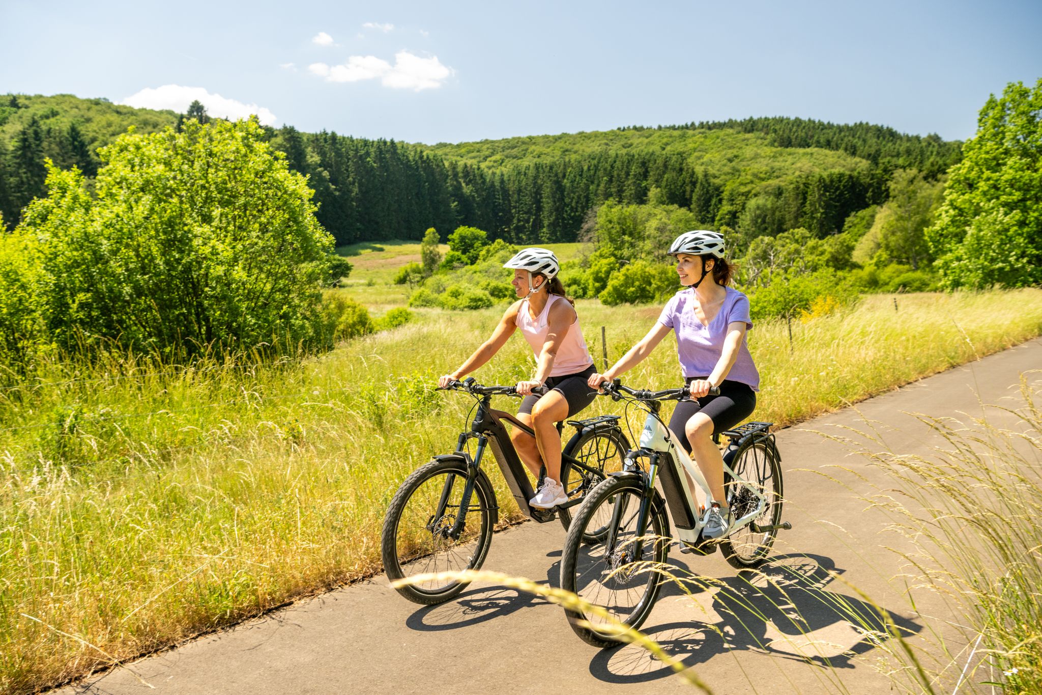
Beyond mountaineering, Gillenfeld offers various outdoor activities. You can enjoy swimming, boating, and fishing at Pulvermaar during the summer. The 'Maare-Mosel-Radweg,' a cycling path, also starts directly in Gillenfeld, providing opportunities for further exploration of the area by bike.
Are there any easy mountaineering routes suitable for beginners?
Yes, there is at least one easy mountaineering route available around Gillenfeld, perfect for beginners or those looking for a less strenuous experience. These paths generally have minimal elevation gain and are well-suited for a leisurely exploration of the volcanic landscape.
Most popular routes around Gillenfeld
Most popular attractions around Gillenfeld

Get inspired with the komoot mobile app


Explore more
Browse the best Mountain Hikes & Routes in other regions.
