The best walks and hikes in Réserve Biologique Dirigée De Longegoutte-Géhant
4.5
(4053)
20,306
hikers
680
hikes
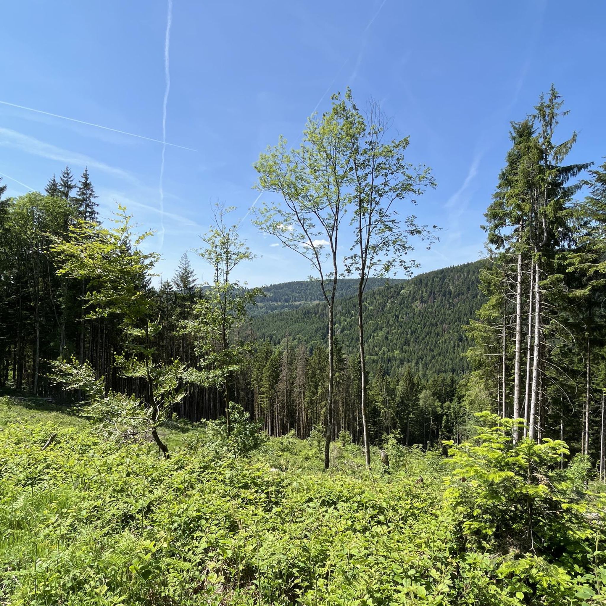
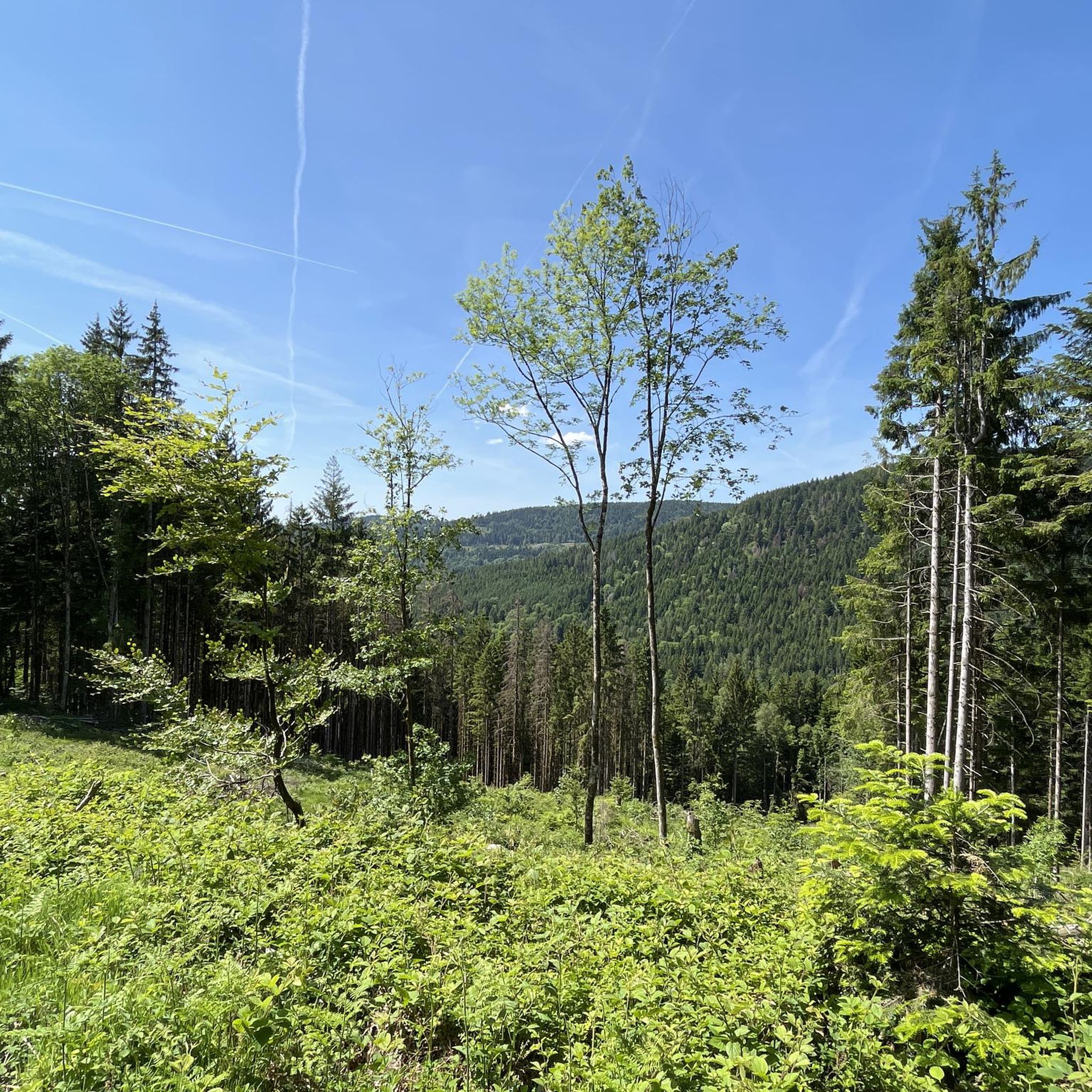
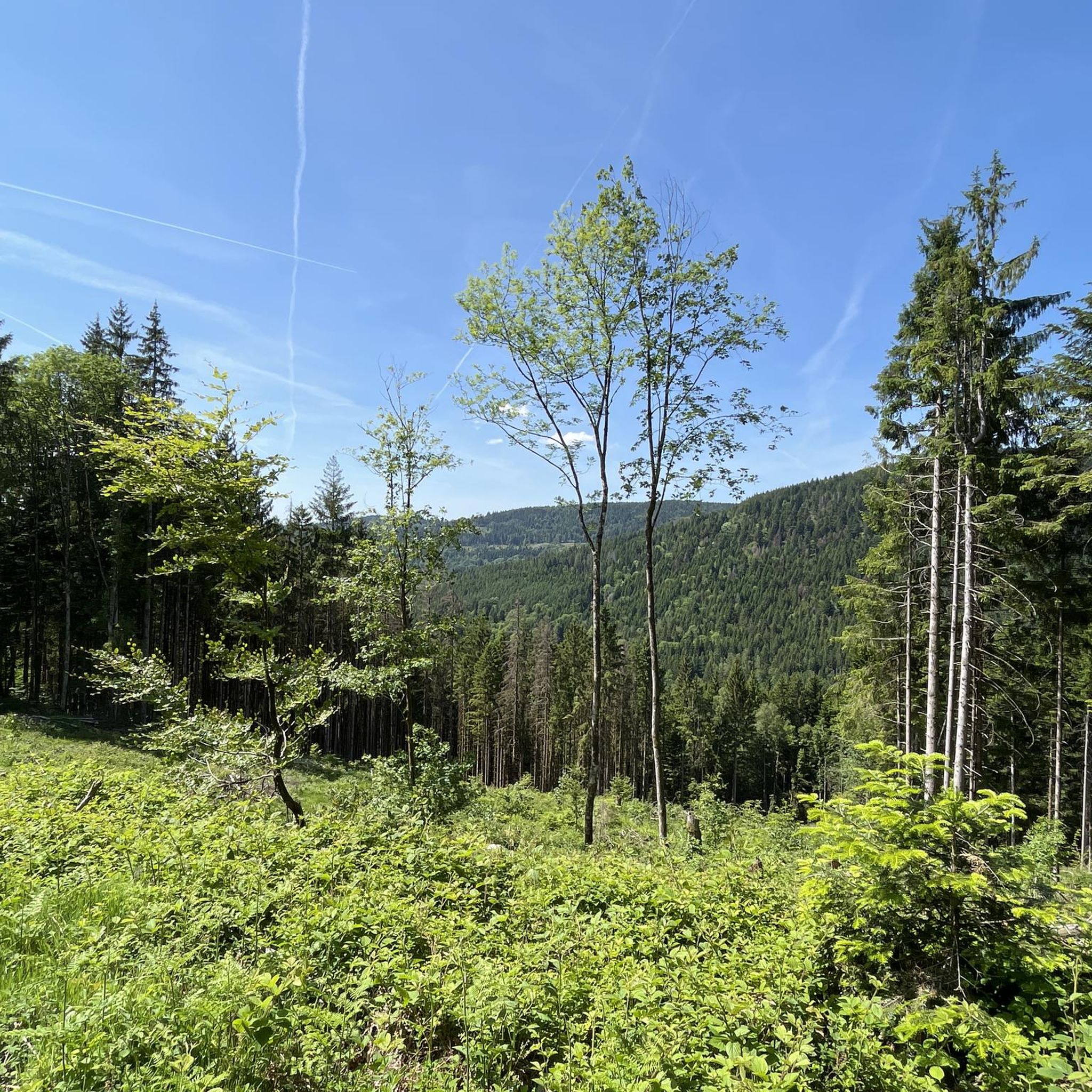
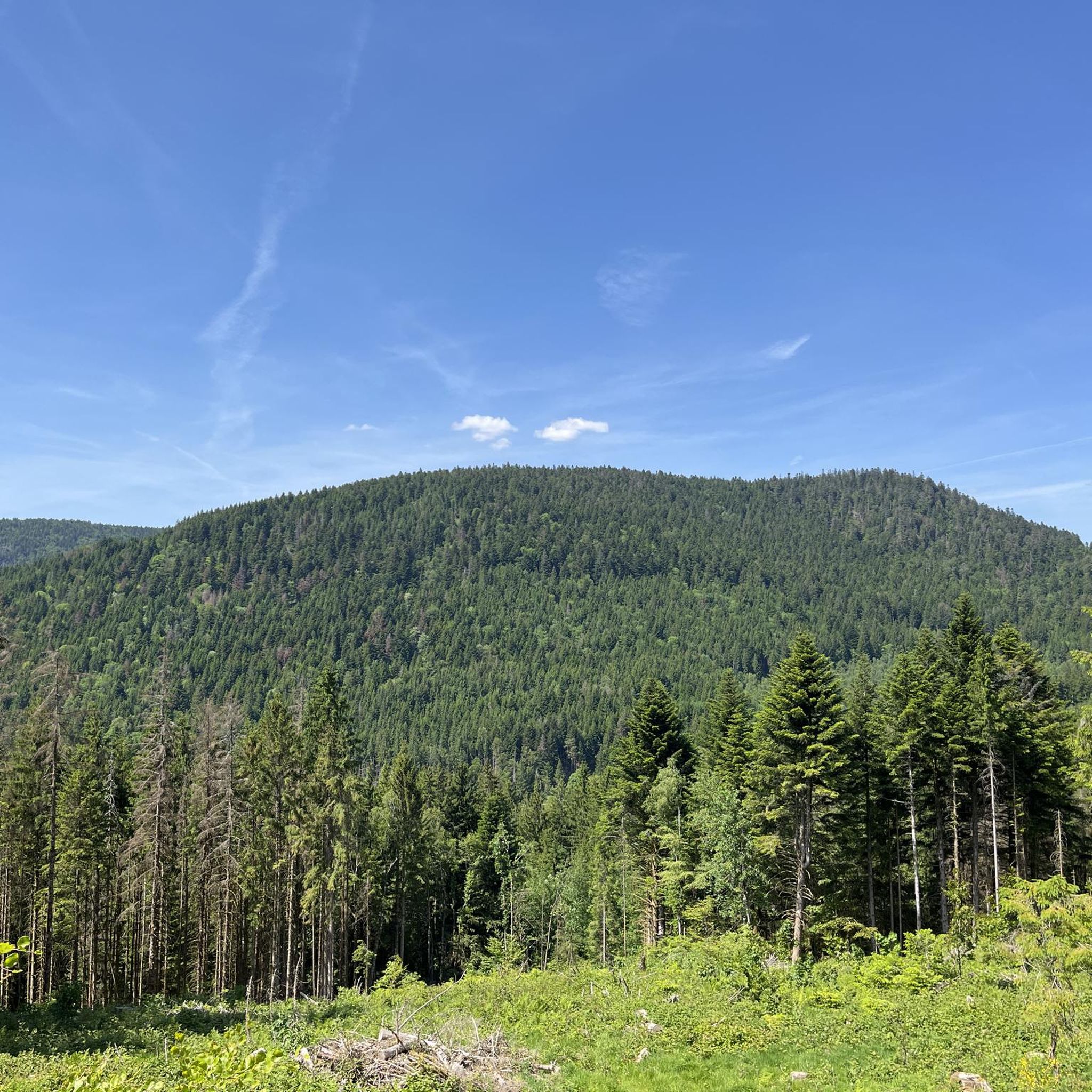
Hiking in Réserve Biologique Dirigée De Longegoutte-Géhant offers diverse trails within the Vosges mountains, situated at an altitude of 800 meters. The region is characterized by unique forest-bog ecosystems, including distinctive beech-fir forests and mountain heathlands. It features a medium-sized mountain relief, occupying a ridge between the Moselle and Moselotte valleys, with brooks adding to the natural landscape. These natural features provide varied terrain for outdoor activities.
Best hiking trails in Réserve Biologique Dirigée De Longegoutte-Géhant
- The most popular hiking…
Last updated: September 30, 2026
4.5
(16)
125
hikers
15.2km
04:39
540m
540m
Moderate hike. Good fitness required. Easily-accessible paths. Suitable for all skill levels.
4.5
(6)
24
hikers
2.61km
00:42
20m
30m
Easy hike. Great for any fitness level. Easily-accessible paths. Suitable for all skill levels.

5.0
(1)
12
hikers
11.9km
03:39
420m
420m
Moderate hike. Good fitness required. Easily-accessible paths. Suitable for all skill levels.
4.5
(2)
29
hikers
13.8km
04:26
560m
560m
Moderate hike. Good fitness required. Easily-accessible paths. Suitable for all skill levels.
4.5
(11)
53
hikers
Moderate hike. Good fitness required. Mostly accessible paths. Sure-footedness required.
Get access to more routes and recommendations from other explorers.
Already have an account?
Our route recommendations are based on thousands of hikes, rides, and runs completed by other people on komoot.
Start today with a free account
Your next adventure awaits.
Popular around Réserve Biologique Dirigée De Longegoutte-Géhant
Road Cycling Routes in Réserve Biologique Dirigée De Longegoutte-Géhant
Cycling in Réserve Biologique Dirigée De Longegoutte-Géhant
MTB Trails in Réserve Biologique Dirigée De Longegoutte-Géhant
Running Trails in Réserve Biologique Dirigée De Longegoutte-Géhant

Gravel biking in Réserve Biologique Dirigée De Longegoutte-Géhant

Mountain Hikes in Réserve Biologique Dirigée De Longegoutte-Géhant
Tips from the Community

Located at an altitude of 767m, the Chapelle des Vés de Fresse sur Moselle was built in 1863 by the farmers of the Fresse sur Moselle hill with materials from the old village church.
0
0

Located on a nice walking path, reachable in about half an hour from the parking lot at Chapelle des Vés, Fresse-sur-Moselle (requires a 160 m climb).
2
0

a bit steep but it's a nice walk
2
0


Great 👌 with the kids (7, 13 and 16) and the little dog... we got through it but we didn't really know what we were getting into 😉 hot but doable if you're careful and take your time!
1
0

The path from the bench up the mountain is no longer visible. I continued along the path and took the next junction. It was really difficult to find my way up there. A large area was covered with fallen and felled trees. As a result, some of the paths had disappeared.
2
0

Nice vantage point at the white cross over the surrounding villages and mountains. ⛰️
2
0

The holiday colony is currently a closed construction site. There are 2 cranes on it.
3
0
Frequently Asked Questions
How many hiking trails are available in Réserve Biologique Dirigée De Longegoutte-Géhant?
The Réserve Biologique Dirigée De Longegoutte-Géhant offers a wide selection of hiking routes. Komoot lists over 670 trails, catering to various preferences and fitness levels.
What kind of terrain and natural features can I expect while hiking here?
You'll discover diverse landscapes, including unique forest-bog ecosystems and characteristic beech-fir forests. The area features a medium-sized mountain relief, with trails often following ridges between the Moselle and Moselotte valleys. Expect to encounter picturesque brooks and old bridges, adding to the natural charm.
Are there any notable landmarks or viewpoints along the trails?
Yes, a significant attraction is the area around the Chapelle de la Pitié, which offers breathtaking panoramic views of Le Ménil and the surrounding mountains. You might also encounter ancient, moss-covered bridges and the unique Tourbière des Charmes (Charmes Bog), a key natural site within the reserve.
Are there easy hiking options suitable for beginners or families?
Absolutely. Over 270 easy routes are available. For a gentle walk featuring brooks and water elements, consider the Fairy Pond – Wild river loop from Le Coteau du Bambois, which is an easy 2.6 km path.
What about more challenging hikes for experienced trekkers?
For those seeking a more athletic experience, there are over 60 difficult routes. Many trails around the Chapelle de la Pitié, like the Vés Chapel – Ves Chapel loop from Le Ménil, involve significant elevation gain and offer a rewarding challenge with stunning views.
Are dogs allowed on the hiking trails in the reserve?
Generally, dogs are permitted on trails in the Réserve Biologique Dirigée De Longegoutte-Géhant, but it's always recommended to keep them on a leash to protect wildlife and ensure a pleasant experience for all hikers. Specific regulations may apply in certain sensitive areas, so look for local signage.
Are there circular hiking routes available?
Yes, many of the trails in the reserve are circular, allowing you to start and end at the same point. For example, the Ves Chapel loop from Le Ménil is a popular 11.9 km circular route that takes you through characteristic beech-fir forests.
What is the best time of year to go hiking in Réserve Biologique Dirigée De Longegoutte-Géhant?
The reserve is beautiful year-round. Spring brings lush greenery and blooming flora, while autumn offers vibrant fall colors in the beech-fir forests. Summer is ideal for longer hikes, and even winter can be magical for snowshoeing, though some trails might be more challenging due to snow and ice.
Where can I find parking for the hiking trails?
Parking is generally available at trailheads and near popular starting points in villages surrounding the reserve, such as Le Ménil. Specific parking information is often detailed on individual Komoot tour pages, so check the route you plan to hike for the most accurate details.
What do other hikers enjoy the most about hiking in Réserve Biologique Dirigée De Longegoutte-Géhant?
The area is highly rated by the komoot community, with an average score of 4.5 stars from over 3000 reviews. Reviewers often praise the diverse and well-preserved natural landscapes, the tranquility of the forest-bog ecosystems, and the rewarding panoramic views, especially from spots like the Chapelle de la Pitié.
Are there any routes that offer a good mix of forest and open views?
Many routes in the reserve provide a varied experience. Trails that ascend to higher altitudes, particularly those around the Chapelle de la Pitié, will take you through dense beech-fir forests before opening up to expansive views over the valleys. The Hiking loop from Le Ménil is a moderate 6.9 km option that offers a good blend of forest paths and scenic points.
What kind of wildlife might I encounter while hiking?
The reserve's diverse ecosystems, including forest-bogs and dense forests, support a variety of wildlife. You might spot various bird species, deer, and smaller mammals. Maintaining quiet and respecting the natural habitat increases your chances of observing local fauna.
Most popular routes in Réserve Biologique Dirigée De Longegoutte-Géhant

Get inspired with the komoot mobile app


Explore more
Browse the best Hikes in other regions.
