The best gravel rides in Réserve Biologique Dirigée De Longegoutte-Géhant
4.2
(32)
266
riders
15
rides
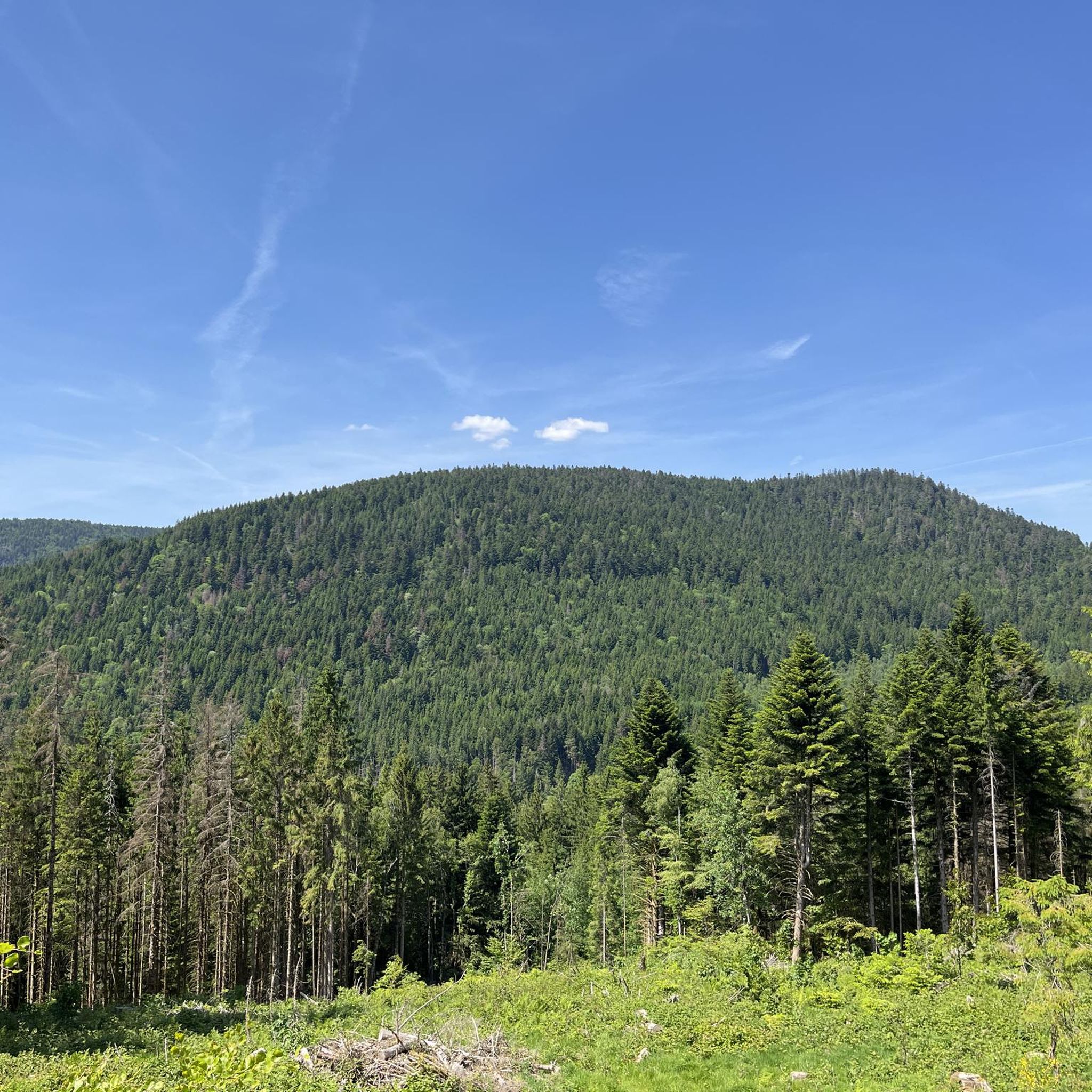
Gravel biking in Réserve Biologique Dirigée De Longegoutte-Géhant offers routes through the Vosges mountains in the Grand Est region of France. The reserve features mid-mountain terrain, occupying a ridge between the Moselle and Moselotte valleys at an average altitude exceeding 850 meters. Its diverse landscapes include dense beech-fir forests, unique peat bogs, and active streams, providing varied topography for cycling. This area is characterized by its extensive trail network and mountainous environment.
Best gravel bike trails in Réserve Biologique Dirigée…
Last updated: October 6, 2026
4.6
(10)
18
riders
55.8km
03:36
900m
900m
Hard gravel ride. Very good fitness required. Mostly paved surfaces. Suitable for all skill levels.
3.0
(1)
15
riders
45.4km
03:27
1,190m
1,180m
Hard gravel ride. Very good fitness required. Mostly paved surfaces. Suitable for all skill levels.

4.5
(4)
55
riders
63.5km
04:32
1,590m
1,590m
Hard gravel ride. Very good fitness required. Mostly paved surfaces. Suitable for all skill levels.
5.0
(3)
43
riders
Hard gravel ride. Very good fitness required. Mostly paved surfaces. Suitable for all skill levels.
4.3
(3)
54
riders
Hard gravel ride. Very good fitness required. Mostly paved surfaces. Suitable for all skill levels.
Get access to more routes and recommendations from other explorers.
Already have an account?
Our route recommendations are based on thousands of hikes, rides, and runs completed by other people on komoot.
Start today with a free account
Your next adventure awaits.
Popular around Réserve Biologique Dirigée De Longegoutte-Géhant
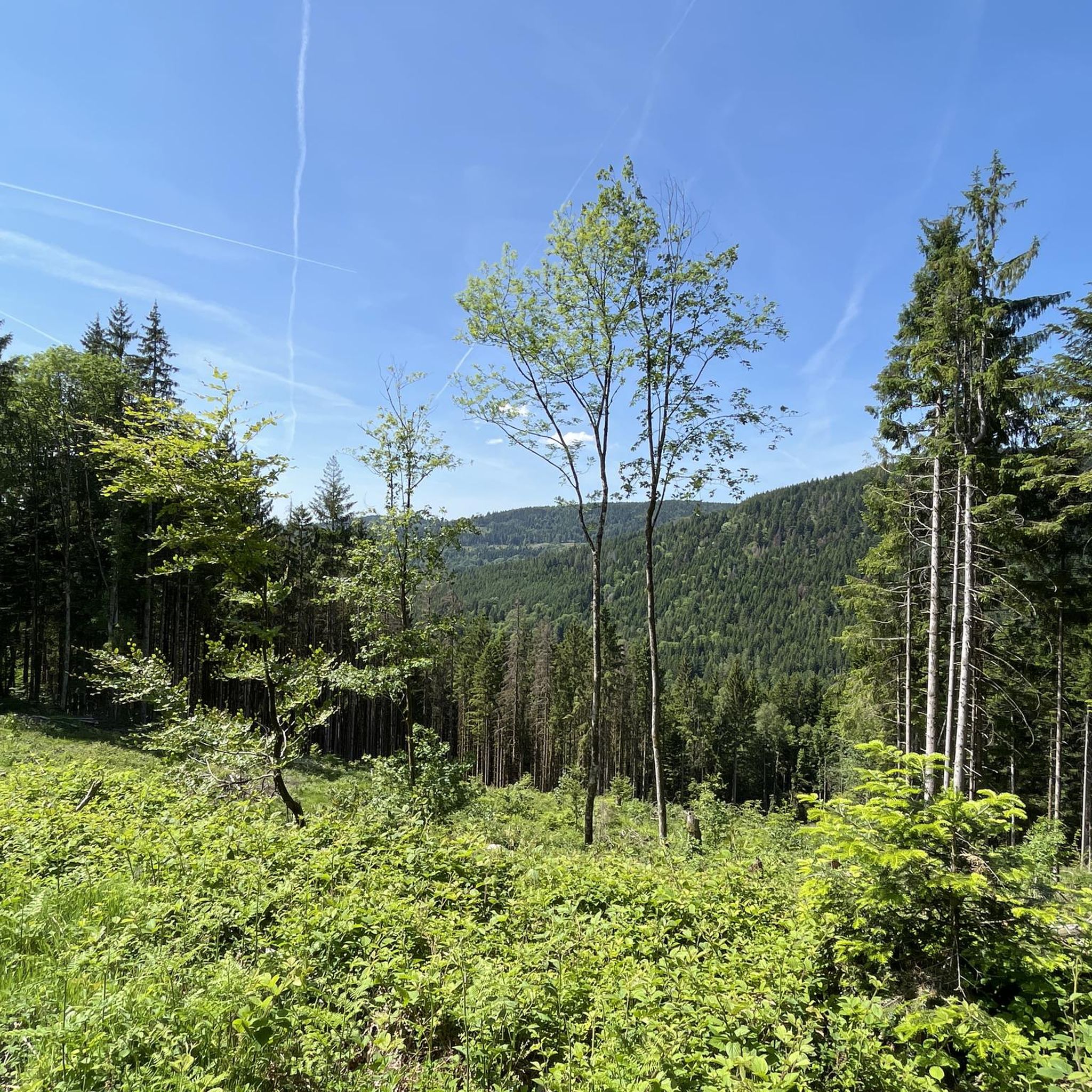
Road Cycling Routes in Réserve Biologique Dirigée De Longegoutte-Géhant
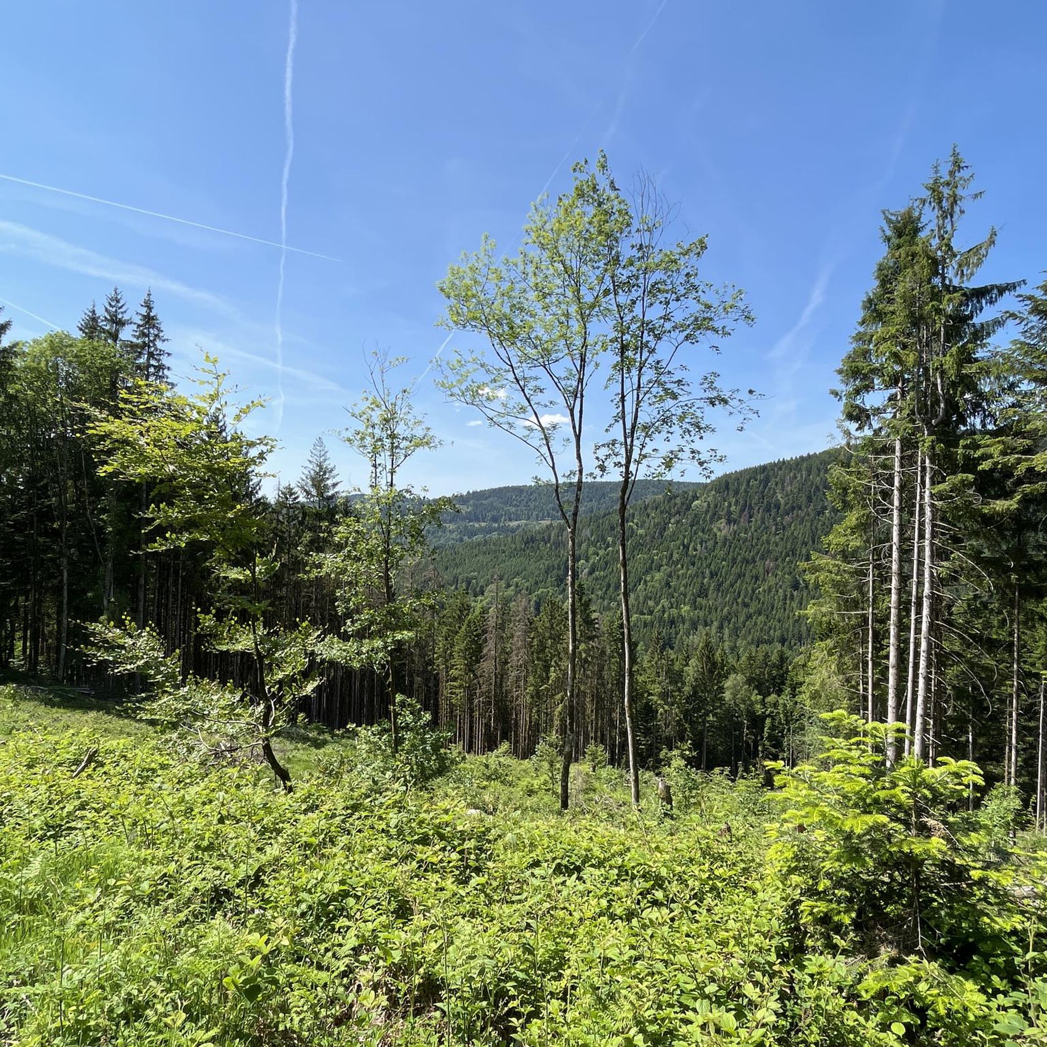
Cycling in Réserve Biologique Dirigée De Longegoutte-Géhant
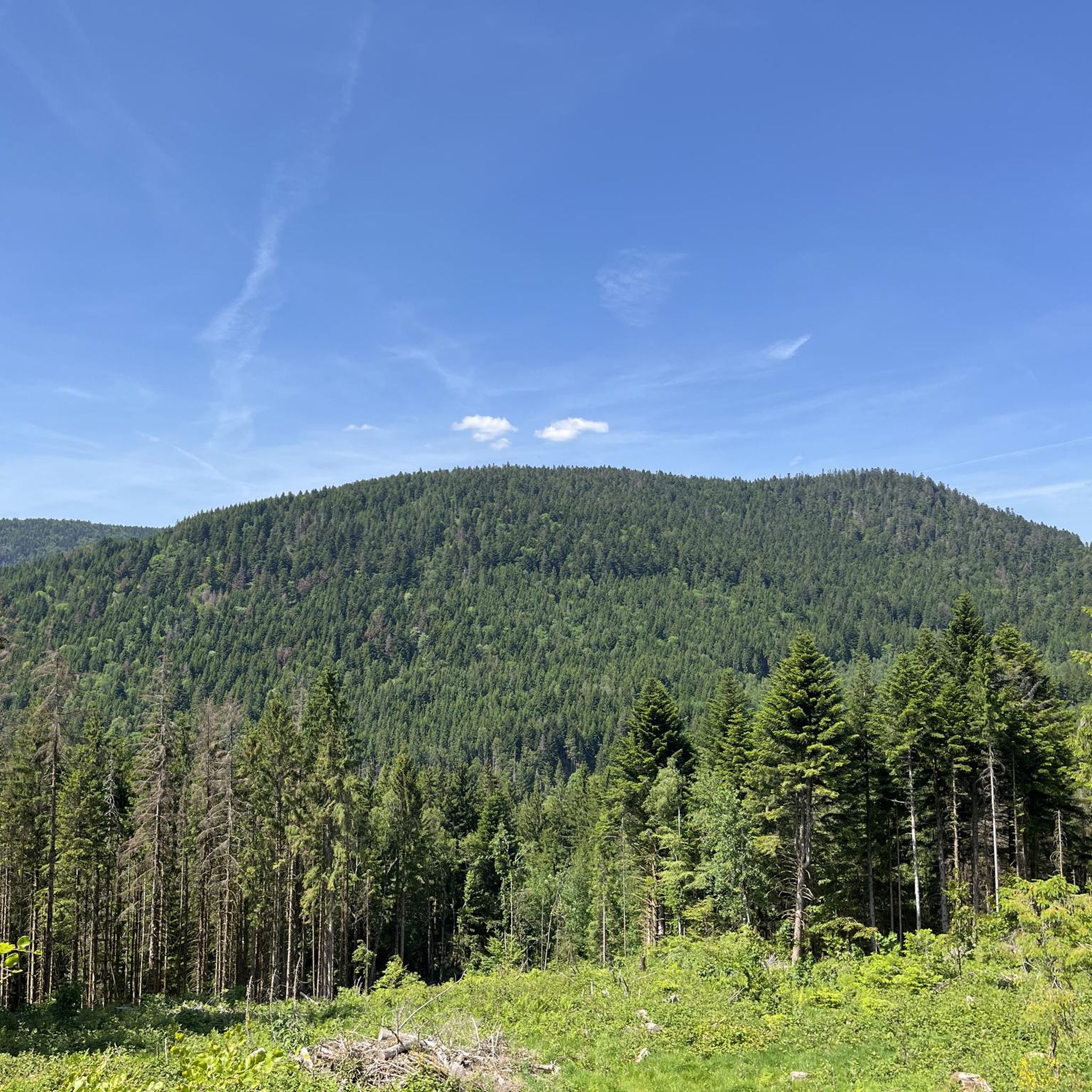
Hiking in Réserve Biologique Dirigée De Longegoutte-Géhant
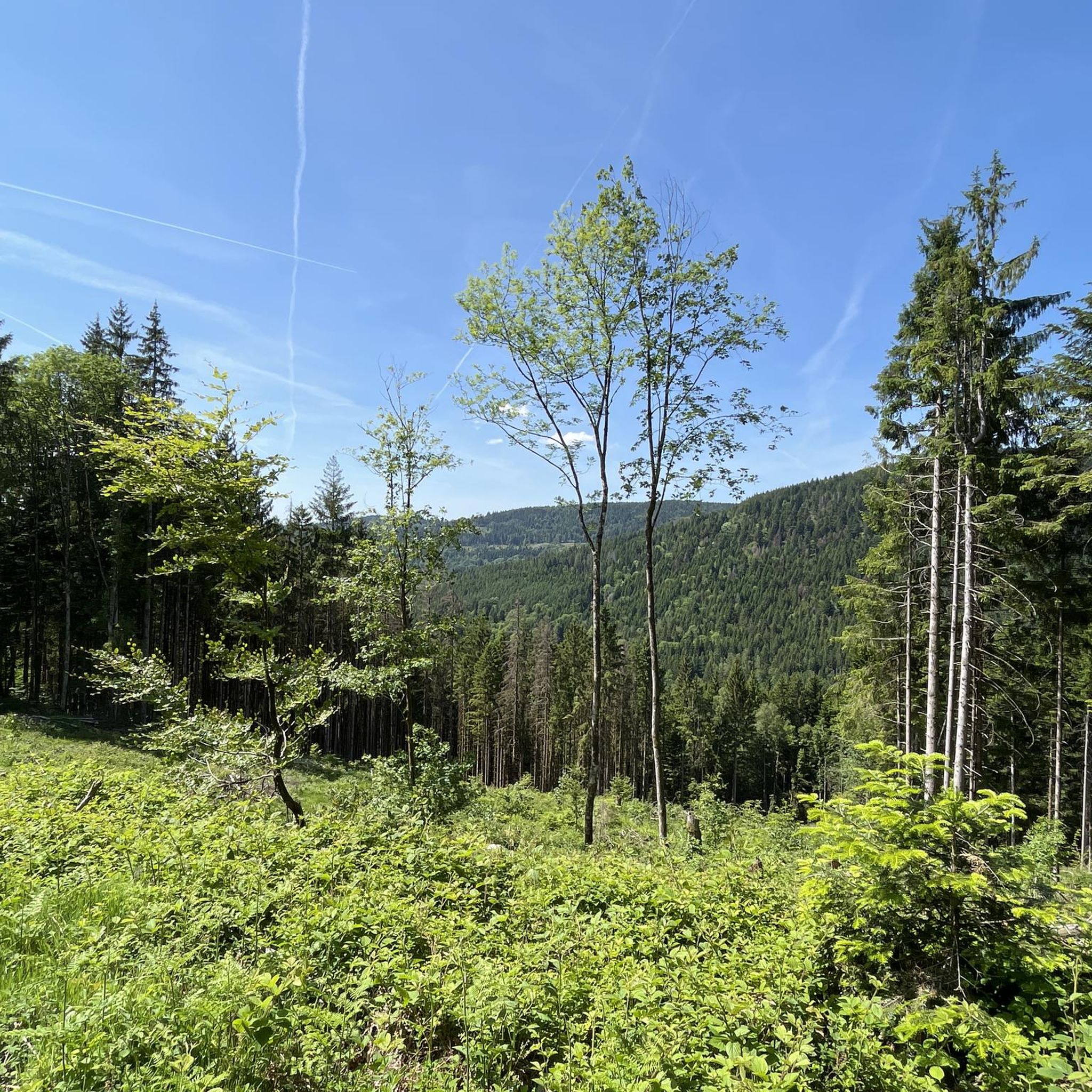
MTB Trails in Réserve Biologique Dirigée De Longegoutte-Géhant
Running Trails in Réserve Biologique Dirigée De Longegoutte-Géhant

Mountain Hikes in Réserve Biologique Dirigée De Longegoutte-Géhant
Tips from the Community

La Planche des Belles Filles is a 5.8 kilometer climb. It is a category 1 climb. It is located in Plancher Les Mines, Franche-Comté, France. The average gradient of this climb is 8.6% with a maximum of 13.6%. La Planche des Belles Filles climbs from 527 meters at the start to 1,033 meters at the summit, for a total elevation gain of 506 meters.
5
0
This 5.9-kilometer climb from the village of Plancher-les-Mines in Haute-Saône is one of the most difficult in the Vosges. Indeed, cyclists who want to try it will need to be at least somewhat trained. With a gradient of 24% towards the end of the route, it's better to be well-attached. The gradient never seems to ease, with its hairpin bends and, upon reaching the resort, the last 2 kilometers rise like a wall. However, you'll be able to say that you've done it, so come and try the climb of La Planche too!
6
0

roundabout on the cycle path
1
0

This is the slightly easier ascent to the Ballon d'Alsace from Giromagny
0
0
René Pottier was the first participant to cross a pass by bicycle. The first pass of the Tour de France was the Ballon d'Alsace.
2
0

If you like to hurt and question gravity, this is the right place.
0
0
It starts gently... but that's just the beginning.
1
0
Long hesitated to do it. Short but very hard, with the Pinot turn and the last ramp of the super board to tell yourself that it's really hard.
0
0
Frequently Asked Questions
What kind of terrain can I expect on gravel bike trails in Réserve Biologique Dirigée De Longegoutte-Géhant?
The reserve, situated within the Vosges mountains, offers a varied topography. You'll primarily ride through dense beech-fir forests, characteristic of the Vosges massif, and encounter mountainous terrain with a narrow plateau and gentle slopes. Unique natural features like peatlands and tranquil streams are also part of the landscape.
Are the gravel biking routes in Réserve Biologique Dirigée De Longegoutte-Géhant suitable for beginners?
The gravel biking routes in Réserve Biologique Dirigée De Longegoutte-Géhant are generally challenging and are best suited for experienced riders. All 28 available routes are rated as difficult, featuring significant elevation gains and distances.
How many gravel bike trails are available in Réserve Biologique Dirigée De Longegoutte-Géhant?
There are 28 gravel bike trails available in Réserve Biologique Dirigée De Longegoutte-Géhant, all of which are rated as difficult.
What natural features will I encounter while gravel biking in the reserve?
You'll experience dense beech-fir forests, mountainous terrain, and unique peatland ecosystems, which are among the largest in the Vosges massif. The area also features tranquil streams, adding to the natural ambiance.
Are there any circular gravel biking routes in Réserve Biologique Dirigée De Longegoutte-Géhant?
Yes, many of the routes in the reserve are circular. For example, you can explore the The Grand Ventron – Virgin Pass loop from Cornimont, which offers a challenging 31.8 km ride with significant elevation.
What do other gravel bikers enjoy the most about gravel biking in Réserve Biologique Dirigée De Longegoutte-Géhant?
The area is highly rated by the komoot community, with an average score of 4.3 stars from over 20 reviews. Riders often praise the varied terrain, the immersive experience of the dense forests, and the challenging nature of the routes.
Is Réserve Biologique Dirigée De Longegoutte-Géhant suitable for family gravel biking?
Given that all routes in Réserve Biologique Dirigée De Longegoutte-Géhant are rated as difficult, they may not be ideal for families with young children or those new to gravel biking. The terrain and elevation require a good level of fitness and experience.
What is the best season for gravel biking in Réserve Biologique Dirigée De Longegoutte-Géhant?
While the guide doesn't specify, the Vosges mountains region generally offers pleasant conditions for gravel biking from spring through autumn. Spring brings lush greenery, summer provides warmer weather, and autumn showcases beautiful foliage. Winter conditions may be challenging due to snow and ice at 800 meters altitude.
Are there any specific viewpoints or scenic spots along the gravel routes?
The reserve's mountainous terrain and narrow plateau offer numerous scenic opportunities. The View of Lake Lispach – Lac de Retournemer loop from Cornimont, for instance, leads through beautiful lake areas, providing picturesque views.
Where can I find parking for gravel biking in Réserve Biologique Dirigée De Longegoutte-Géhant?
Specific parking locations are not detailed in the route descriptions, but routes often start from towns like Le Ménil or Cornimont. It's advisable to check local parking options in these villages before your ride.
Can I bring my dog on the gravel bike trails in Réserve Biologique Dirigée De Longegoutte-Géhant?
The Réserve Biologique Dirigée De Longegoutte-Géhant is a protected natural area. While many outdoor activities are permitted, it's always best to check local regulations regarding dogs, especially in a Natura 2000 site, to ensure compliance and protect local wildlife.
Are there any long-distance gravel routes available?
Yes, there are several long-distance routes. The longest is the La Planche des Belles Filles – Ballon de Servance loop from Le Thillot, which spans over 70 km and involves significant elevation gain, making it a demanding ride.
Most popular routes in Réserve Biologique Dirigée De Longegoutte-Géhant

Get inspired with the komoot mobile app


Explore more
Browse the best Gravel rides in other regions.
