The best cycling routes in Réserve Biologique Dirigée De Longegoutte-Géhant
4.5
(913)
24,371
riders
213
rides
Touring cycling routes in Réserve Biologique Dirigée De Longegoutte-Géhant traverse a landscape characterized by river valleys, historic railway lines, and mountain passes within the Vosges region. The area features a mix of forested sections and open terrain, offering varied gradients suitable for different cycling preferences. Elevations range from gentle valley paths to more challenging ascents over passes.
Best touring cycling routes in Réserve Biologique Dirigée De Longegoutte-Géhant
- The most popular touring cycling route is Bahntrasse im Moseltal – BRIDGE BOW…
Last updated: October 8, 2026
26
riders
27.8km
01:53
470m
470m
Hard bike ride. Very good fitness required. Mostly paved surfaces. Suitable for all skill levels.
23
riders
22.8km
01:34
380m
380m
Moderate bike ride. Good fitness required. Mostly paved surfaces. Suitable for all skill levels.

11
riders
19.7km
01:22
320m
320m
Moderate bike ride. Good fitness required. Mostly paved surfaces. Suitable for all skill levels.
8
riders
Hard bike ride. Very good fitness required. Mostly paved surfaces. Suitable for all skill levels.
5.0
(1)
6
riders
18.2km
01:44
520m
520m
Hard bike ride. Very good fitness required. Mostly paved surfaces. Suitable for all skill levels.
Get access to more routes and recommendations from other explorers.
Already have an account?
Our route recommendations are based on thousands of hikes, rides, and runs completed by other people on komoot.
Start today with a free account
Your next adventure awaits.
Popular around Réserve Biologique Dirigée De Longegoutte-Géhant
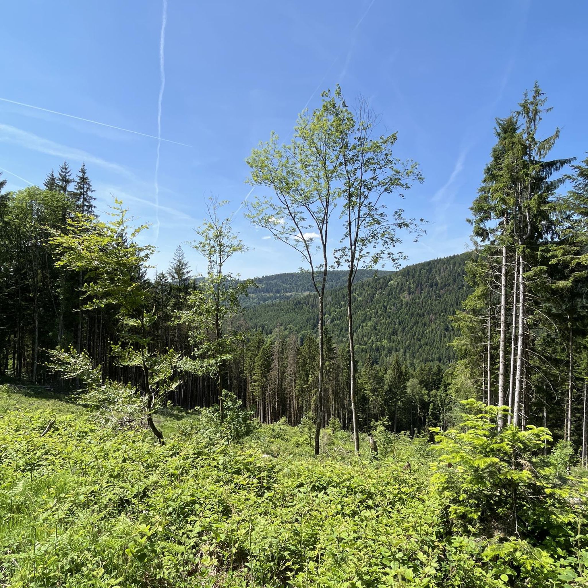
Road Cycling Routes in Réserve Biologique Dirigée De Longegoutte-Géhant
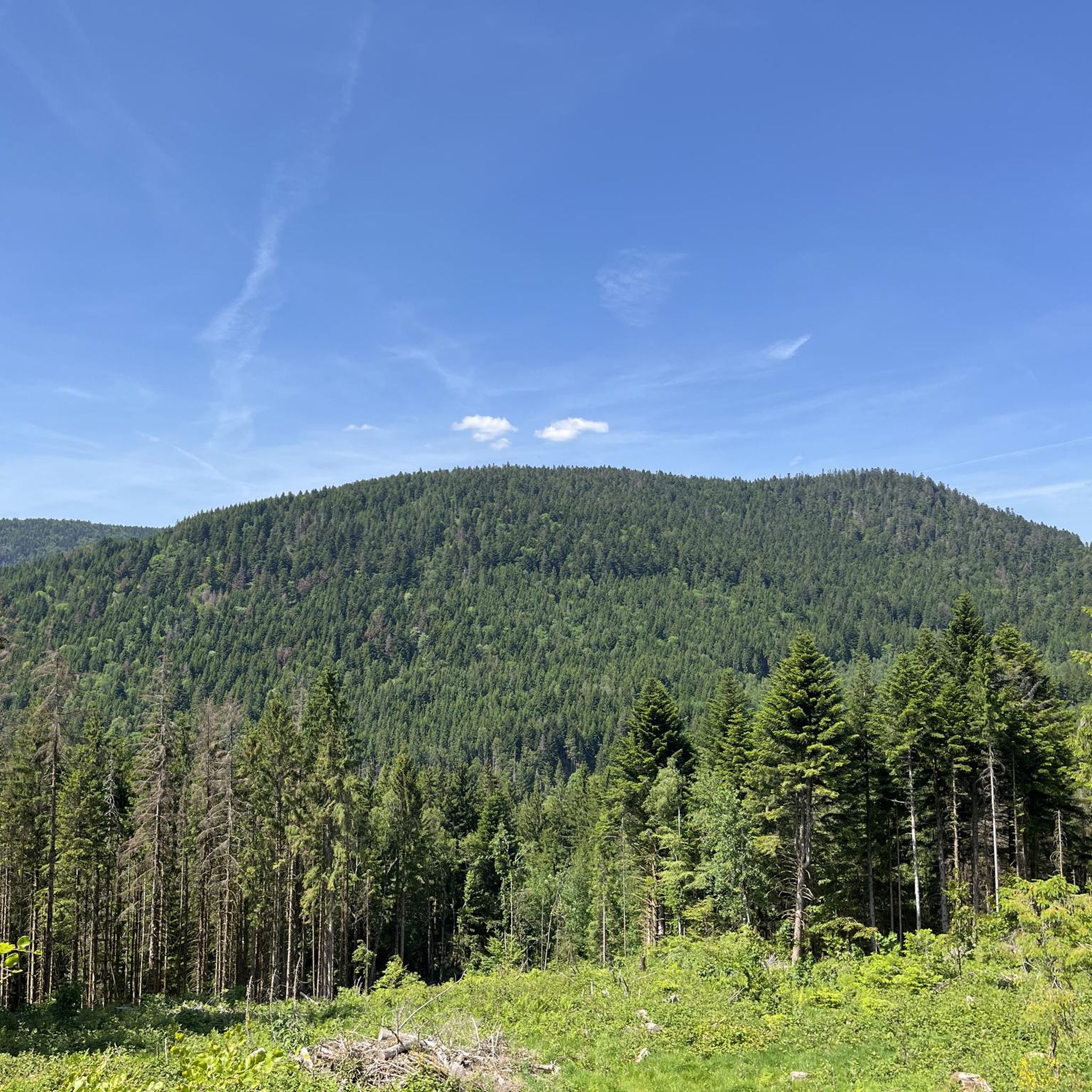
Hiking in Réserve Biologique Dirigée De Longegoutte-Géhant
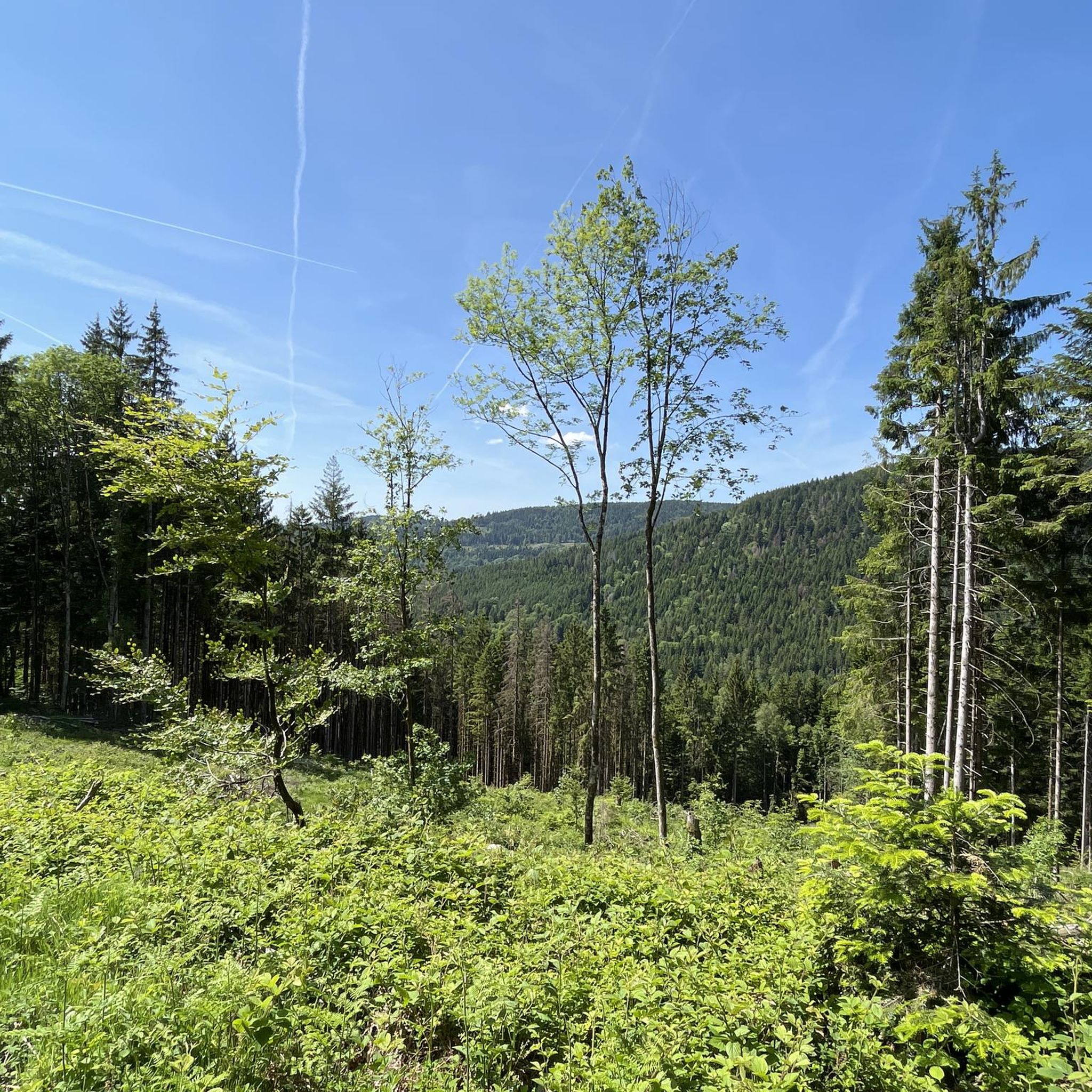
MTB Trails in Réserve Biologique Dirigée De Longegoutte-Géhant
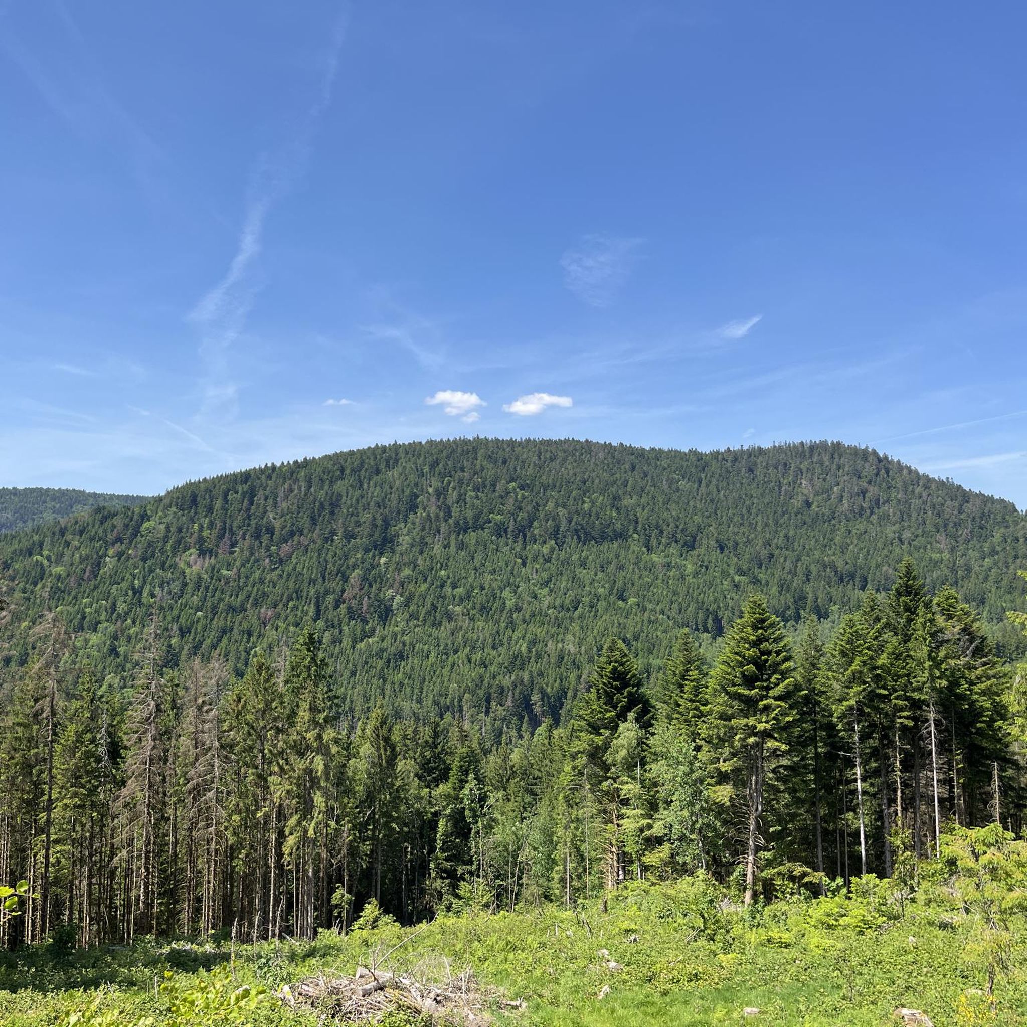
Running Trails in Réserve Biologique Dirigée De Longegoutte-Géhant

Gravel biking in Réserve Biologique Dirigée De Longegoutte-Géhant

Mountain Hikes in Réserve Biologique Dirigée De Longegoutte-Géhant
Tips from the Community

The Col d' Oderen is an 8.2 kilometer climb. This is a category 3 climb. It is located in Cornimont, Lorraine, France. The average gradient of this climb is 3.9% with a maximum of 6%. The Col d' Oderen rises from 573 meters at the start to 885 meters at the top, with a total of 312 meters of elevation gain.
5
0
As soon as you enter the village centre of Le Ménil, the road noticeably steepens. From here, it is still 2.1 kilometers to the top. This section is very regular and has no surprises or steep outliers. The percentages constantly hover around 4.1%. You cover the last 86 meters of altitude here to the highest point at 621 meters.
1
0
Smooth, even pace between Le Ménil and Cornimont, wide road and mild gradients — ideal as a connecting climb in the southern Vosges massif.
1
0
The former train station of Le Thillot (la gare du Thillot) is a historic monument that played a central role in the region's transformation. Opened in 1879 on the railway line between Épinal and Bussang, the SNCF definitively closed the station in 1989. The building has been completely renovated and now houses the Maison des Hautes‑Mynes, the visitor center for the historic copper mines. The former railway bed has been transformed into the Voie Verte des Hautes‑Vosges, a car-free cycle path connecting Remiremont with Bussang. Directly next to the station also starts the Voie du Tacot, an educational route along the old narrow-gauge railway line.
5
0
De Col des Croix is a 679-meter-high mountain pass in the French Vogezen massif, located on the border of the Vosges and Haute-Saône departments. The pass forms an accessible connecting road (the D486) between the northern Le Thillot and the southern Servance. At the top, you will find the well-known Le Chalet Snack du Col des Croix, and the road splits towards the D16 (Route des Forts), the route that continues to the higher Ballon de Servance.
5
0

Located at an altitude of 767m, the Chapelle des Vés de Fresse sur Moselle was built in 1863 by the farmers of the Fresse sur Moselle hill with materials from the old village church.
0
0

great cycle path on the old railway line
1
0

A small pass after the Ballon de Severance. Refreshment stand with a view.
3
0
Frequently Asked Questions
How many touring cycling routes are available in Réserve Biologique Dirigée De Longegoutte-Géhant?
There are over 200 touring cycling routes available in Réserve Biologique Dirigée De Longegoutte-Géhant, offering a wide range of options for different skill levels and preferences.
What is the general difficulty level of touring cycling routes in the reserve?
The routes in Réserve Biologique Dirigée De Longegoutte-Géhant cater to various abilities. While there are 19 easy routes, the majority are moderate (60 routes) or difficult (129 routes), often featuring significant climbs over mountain passes.
What do other touring cyclists enjoy most about cycling in Réserve Biologique Dirigée De Longegoutte-Géhant?
The area is highly rated by the komoot community, with an average score of 4.6 stars from over 600 reviews. More than 22,000 touring cyclists have explored the varied terrain, often praising the mix of river valleys, greenways, and challenging mountain passes.
Are there any family-friendly touring cycling routes in the reserve?
Yes, there are routes suitable for families, particularly those that follow former railway lines or stay within the gentler river valleys. These often provide a relatively flat and accessible experience. Look for routes marked as 'easy' or 'moderate' for a more relaxed ride.
Can I find challenging touring cycling routes with significant climbs?
Absolutely. Réserve Biologique Dirigée De Longegoutte-Géhant is known for its challenging routes that include significant climbs over mountain passes. For example, the Oderen Pass – Ménil Pass (621 m) loop from Le Ménil is a difficult 17.3-mile path with substantial elevation gain, offering panoramic views.
Are there touring cycling routes that follow former railway lines?
Yes, the region features routes that utilize historic railway lines, providing relatively flat and scenic paths. A popular example is the Bahntrasse im Moseltal – BRIDGE BOW loop from Le Ménil, which offers a smooth ride through the Moselle Valley.
What kind of landscapes can I expect to see while touring cycling here?
You can expect a diverse landscape characterized by picturesque river valleys, dense forested sections, and open terrain. Many routes also ascend mountain passes, offering expansive views of the Vosges region.
Are there any longer touring cycling options for experienced riders?
For experienced riders seeking a longer challenge, the Hautes-Vosges Greenway Circuit is a difficult 31-mile route that provides an extensive exploration of the area's greenways and varied terrain.
What is the best time of year to cycle in Réserve Biologique Dirigée De Longegoutte-Géhant?
The best time to cycle is typically from spring through autumn. Spring offers lush greenery, while summer provides warm weather. Autumn brings vibrant foliage, though it's advisable to check weather conditions and wear appropriate layers for cooler temperatures.
Are there any circular touring cycling routes available?
Many of the touring cycling routes in Réserve Biologique Dirigée De Longegoutte-Géhant are designed as loops, allowing you to start and end at the same point. An example is the Col des Croix – Black Pond loop from Le Ménil, which takes you through forested hills and past natural features.
Where can I find parking for touring cycling routes in the reserve?
Parking is generally available near the starting points of many popular routes, especially in villages like Le Ménil, which serves as a common base for exploring the area. Specific parking information can often be found on individual route pages on komoot.
Most popular routes in Réserve Biologique Dirigée De Longegoutte-Géhant

Get inspired with the komoot mobile app


Explore more
Browse the best Cycling routes in other regions.
