The best road cycling routes in Fraser River Delta -- Ramsar
4.5
(151)
7,085
riders
94
rides
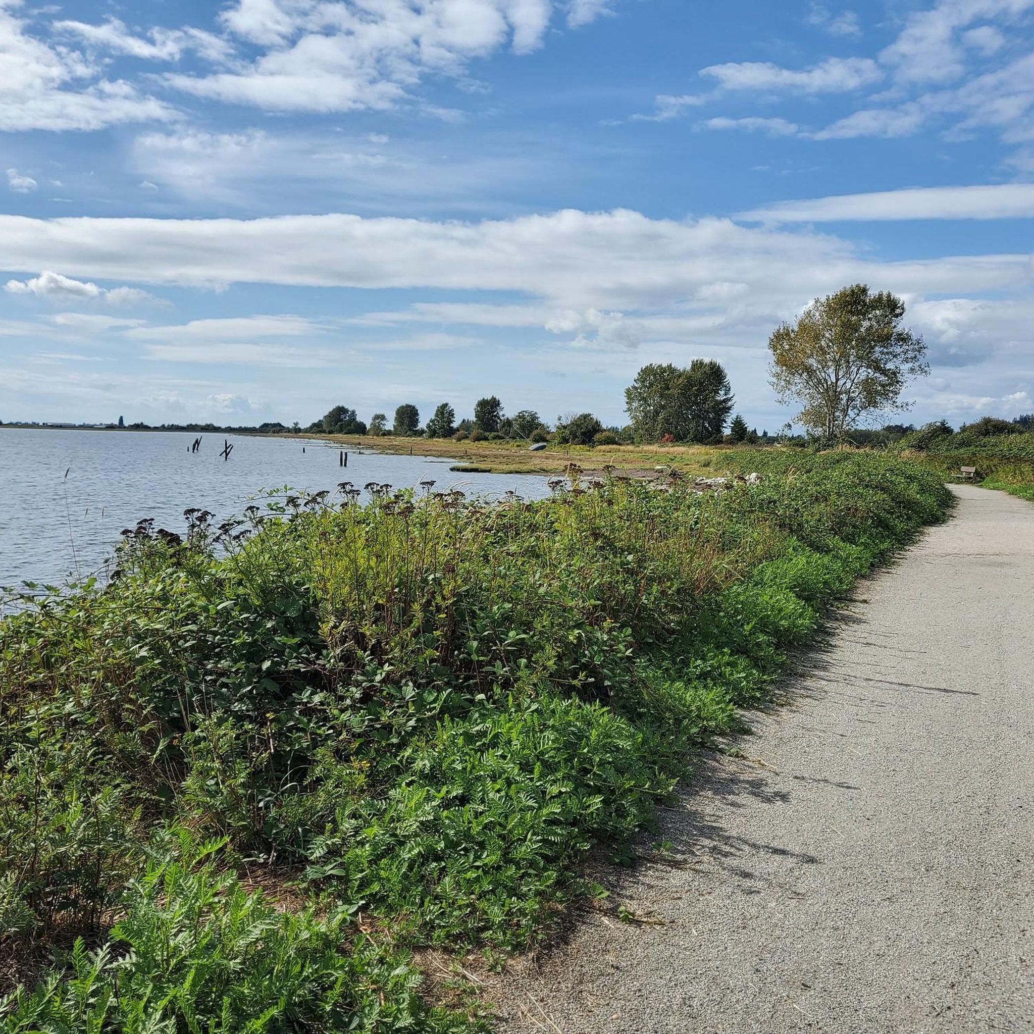
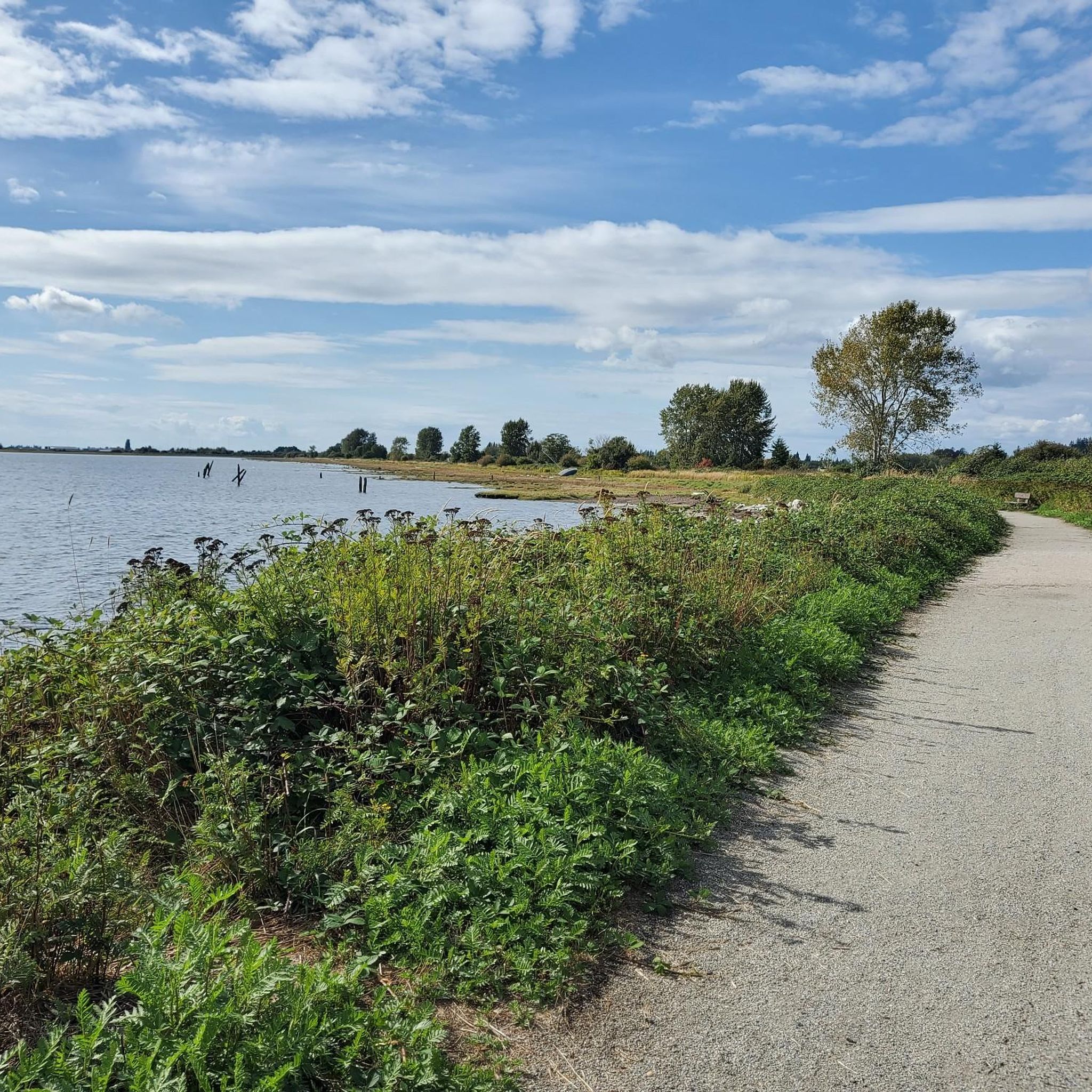
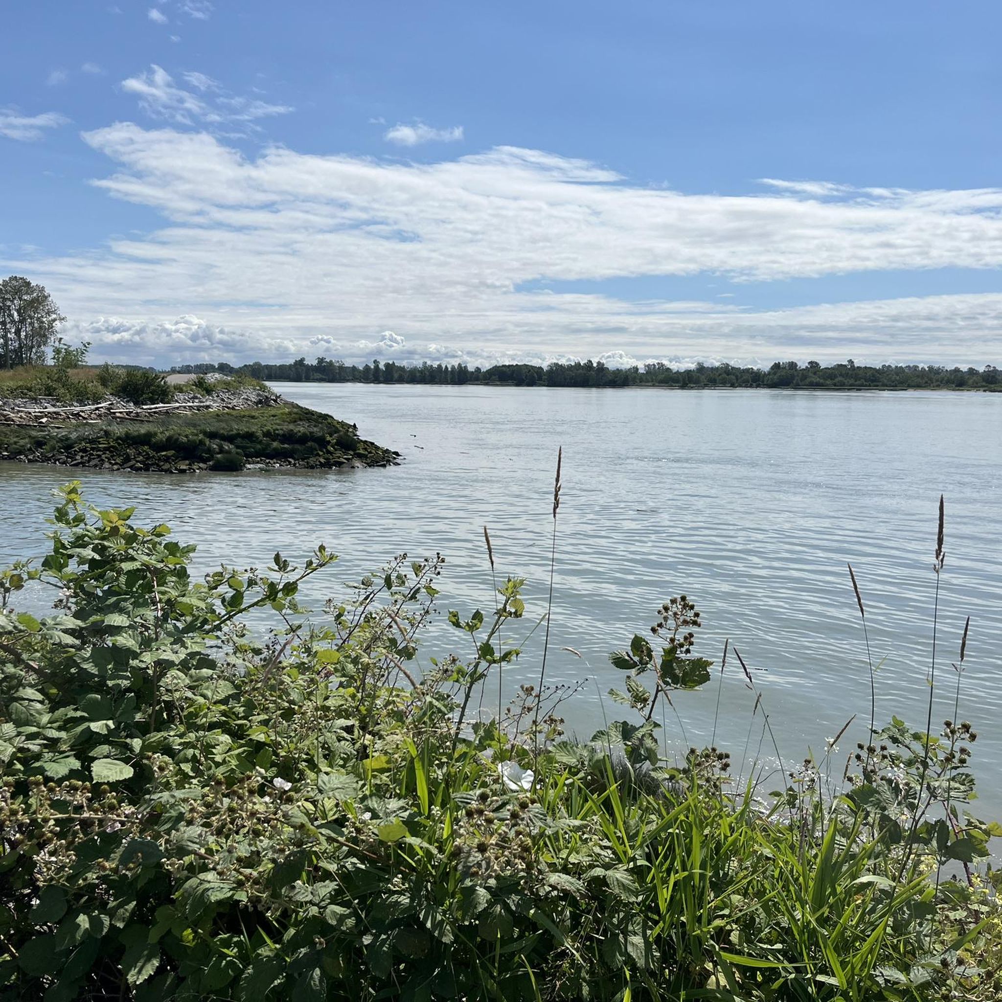
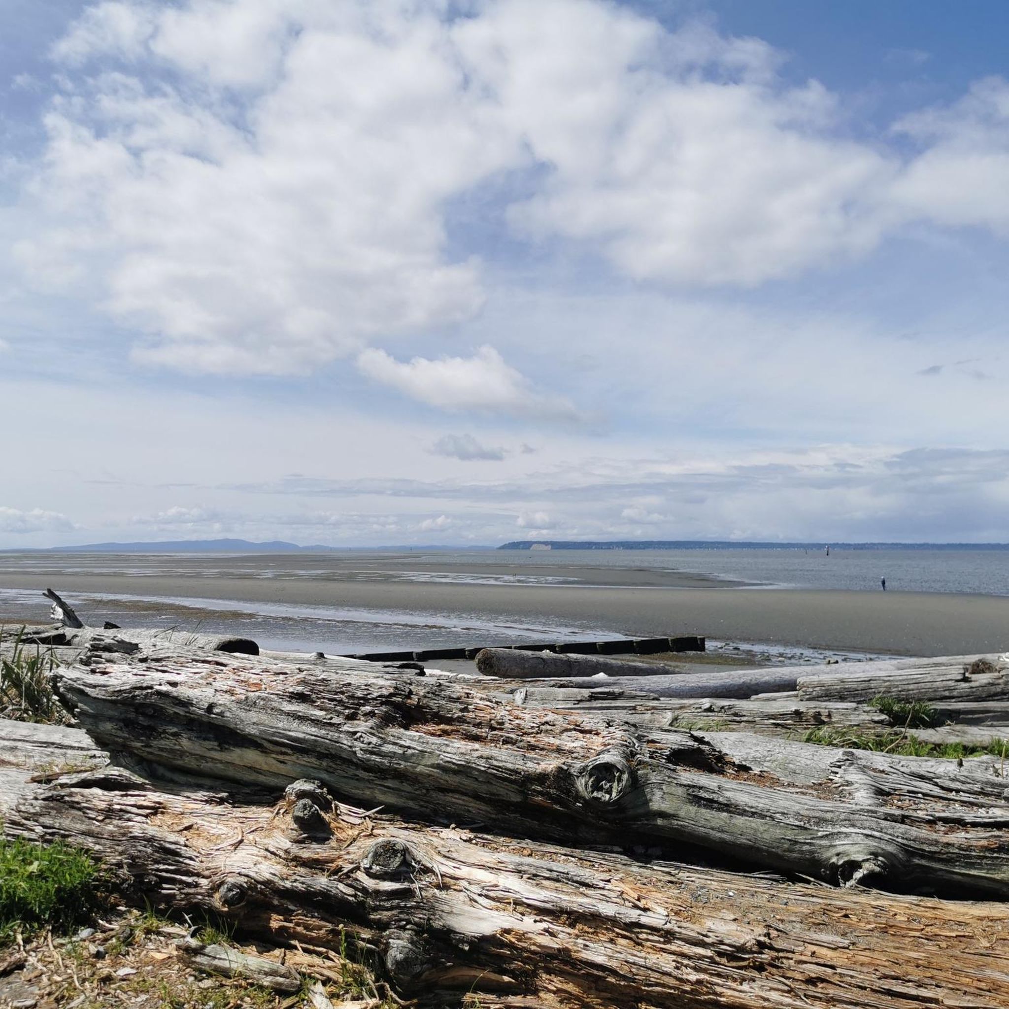
Road cycling in Fraser River Delta -- Ramsar is characterized by its expansive, flat terrain, making it suitable for various skill levels with minimal elevation changes. This region encompasses diverse ecosystems, including floodplains, marshes, and intertidal mudflats, offering scenic routes along dyke trails and through agricultural areas. The delta's unique landscape provides opportunities for cycling amidst significant natural features and abundant wildlife.
Best road cycling routes in Fraser River Delta -- Ramsar
- The most popular road cycling route is View of Alex Fraser Bridge loop from Tsawwassen, a 37.1 miles (59.8 km) trail that takes 2 hours 28 minutes to complete, offering views of the Alex Fraser Bridge.
- Another top favourite among local road cyclists is Green Slough – Elliot Street Park Reserve loop from Tsawwassen, a moderate 16.8 miles (27.0 km) path. This route winds through natural reserves, providing a blend of green spaces and delta scenery.
- Local road cyclists also love the White Rock Pier and Waterfront – Eagle's Nest Labyrinth loop from White Rock, a 12.3 miles (19.8 km) trail leading through coastal areas and waterfronts, often completed in about 55 minutes.
- Road cycling in Fraser River Delta -- Ramsar is defined by flat terrain, dyke trails, and views of wetlands and the Fraser River. The network offers options for easy, moderate, and some more challenging routes.
- The routes in Fraser River Delta -- Ramsar are highly rated by the komoot community with an average score of 4.5 stars from more than 150 reviews. More than 7,000 road cyclists have used komoot to explore Fraser River Delta -- Ramsar's varied terrain.
Last updated: July 9, 2026
3.0
(1)
19
riders
60.0km
02:32
160m
160m
Moderate road ride. Good fitness required. Some segments of this route may be unpaved and difficult to ride.
7
riders
27.0km
01:17
40m
40m
Moderate road ride. Great for any fitness level. Some segments of this route may be unpaved and difficult to ride.

Sign up for free
6
riders
Moderate road ride. Great for any fitness level. Some segments of this route may be unpaved and difficult to ride.
3
riders
Moderate road ride. Good fitness required. Mostly well-paved surfaces and easy to ride.
3.0
(1)
4
riders
Moderate road ride. Good fitness required. Some segments of this route may be unpaved and difficult to ride.
Get access to more routes and recommendations from other explorers.
Sign up for free
Already have an account?
Our route recommendations are based on thousands of hikes, rides, and runs completed by other people on komoot.
Start today with a free account
Your next adventure awaits.
Login or Signup
Tips from the Community

Centennial Park is family friendly with tons of amenities, all sorts of sports fields, a dog park, a kids' playground, a butterfly garden, and a community garden, as well as 4 parking areas and public restrooms.
0
0

Beach Grove Park is a lovely mix of open lawns with pockets of mature trees, with flat, well-kept paths that wind through the park, connecting playgrounds, sports courts, picnic areas, and off-leash spaces. Its laid-back, neighbourhood feel makes it a convenient spot for a quick stroll or casual time outdoors.
0
0

Try to stop at MONTGOMERY’S on Marine Dr White Rock for FISH N CHIPS
0
0


The Eagles Nest Labyrinth is a serene, contemplative space nestled within Kwomais Point Park in South Surrey, British Columbia. Located near the intersection of 128th Street and 13th Avenue, this labyrinth was opened to the public on October 13, 2012, as a place for reflection and meditation. Set amidst a grove of second-growth fir and cedar trees, the labyrinth offers visitors a peaceful environment to unwind and connect with nature. Its design encourages introspection, making it a popular spot for those seeking a quiet retreat from the bustle of daily life. The creation of the Eagles Nest Labyrinth was a collaborative effort involving the Peace Arch Hospice Society and other community groups, aiming to provide a therapeutic space for contemplation and healing.
1
0
Natural conservation park Forested area protecting Wills Brook Accessible via a short gravel path from 161 Street, just south of 30B Avenue Features a small duck pond Operating Hours: Open daily from dawn until dusk
0
0
Blumsen Park – South Surrey, BC Blumsen Park is a serene neighbourhood park located at 15473 34 Avenue in South Surrey, British Columbia. Nestled between Rosemary Heights Drive and 34 Avenue, just south of Rosemary Heights Elementary School, the park offers a blend of natural beauty and recreational amenities. OpenTable City of Surrey Features & Amenities Woodland Trails: Explore the large wooded area with forest pathways that connect to a broader neighbourhood linear park system. Playground: An all-ages playground with separate sections for toddlers and older children, including swings for each age group. Open Green Spaces: Ideal for picnics, casual gatherings, or simply relaxing amidst nature.
0
0

The pier is approximately 470m long, but not the longest in Canada (Quai de Portneuf in Portneuf is the longest in Canada). Originally a pontoon construction (1912), it was built as a permanent pier from 1914 and was rebuilt several times due to storms and fires.
1
0
Frequently Asked Questions
How many road cycling routes are available in Fraser River Delta -- Ramsar?
The Fraser River Delta -- Ramsar region offers a wide selection of road cycling routes, with over 100 tours available. These routes cater to various skill levels, including approximately 40 easy routes and over 60 moderate options.
What kind of terrain can I expect on road cycling routes in the Fraser River Delta?
The Fraser River Delta is characterized by its expansive, flat terrain, making it ideal for road cycling with minimal elevation changes. You'll find routes along dyke trails, through agricultural areas, and offering views of wetlands and the Fraser River. While most routes are paved, some longer excursions might include unpaved sections.
Are there easy road cycling routes suitable for beginners in the Fraser River Delta?
Yes, the region is excellent for beginners. Approximately 40 of the available road cycling routes are classified as easy, offering gentle rides with minimal elevation. These routes are perfect for those looking for a relaxed experience or just starting out.
Can I find longer road cycling routes for more challenging rides?
Absolutely. For those seeking a longer challenge, routes like the Peninsula United Church – Historic Stewart Farmhouse loop from Ocean Park cover over 70 kilometers. While the terrain remains largely flat, the extended distance provides a good endurance test. There are also 5 routes classified as difficult for experienced cyclists.
What interesting landmarks or attractions can I see along the road cycling routes?
Many routes offer views of significant landmarks and natural features. You can cycle past the White Rock Pier and Waterfront, explore areas near Eagle's Nest Labyrinth, or discover historical sites like the Terra Nova Cannery and Sea Island Japanese Community History. The region also features natural attractions like Iona Beach.
Where can I spot wildlife while road cycling in the Fraser River Delta?
The Fraser River Delta is a world-renowned birdwatching destination, especially along the Boundary Bay and Fraser River estuary areas. Cyclists often spot a variety of waterfowl, shorebirds, and raptors. The George C. Reifel Migratory Bird Sanctuary is a particularly popular spot for birdwatching, and cycling along dyke trails offers unique perspectives of the wetlands and their inhabitants.
Are there circular road cycling routes available in the Fraser River Delta?
Yes, many road cycling routes in the Fraser River Delta are designed as loops, offering convenient starting and ending points. Examples include the View of Alex Fraser Bridge loop from Tsawwassen and the Green Slough – Elliot Street Park Reserve loop from Tsawwassen, which provide scenic circular journeys.
What are the parking options for road cyclists in the Fraser River Delta?
Parking is generally available at various parks and trailheads throughout the Fraser River Delta. For instance, areas around Boundary Bay Regional Park, Mud Bay Park, and Centennial Beach often provide parking facilities suitable for cyclists accessing the routes. Specific parking details can usually be found on local park websites or komoot tour pages.
Is public transport accessible for reaching road cycling routes in the Fraser River Delta?
Public transport options, primarily bus services, connect various communities within the Fraser River Delta. While some routes may be accessible via public transport, it's advisable to check TransLink schedules and bike-on-bus policies for specific routes and destinations to plan your journey effectively.
Are there places to stop for refreshments or food along the cycling routes?
Yes, depending on your chosen route, you'll find opportunities for refreshments. Routes passing through or near towns like Ladner, Tsawwassen, or White Rock offer cafes, pubs, and restaurants. Additionally, cycling through the fertile farmlands can lead to local farm stands where you might find fresh produce and snacks.
What do other road cyclists enjoy most about the Fraser River Delta?
The Fraser River Delta is highly rated by the komoot community, with an average score of 4.5 stars from over 150 reviews. Cyclists frequently praise the region's flat, accessible terrain, the extensive network of dyke trails, and the unique opportunity to cycle amidst globally significant wetland ecosystems and abundant wildlife.
What is the best time of year to go road cycling in the Fraser River Delta?
The Fraser River Delta offers good cycling conditions for much of the year due to its mild climate. Spring and fall are particularly pleasant, with comfortable temperatures and vibrant natural scenery. Summer is also popular, though it can be warmer. Winter cycling is possible, but be prepared for cooler temperatures and potentially wet conditions.
Most popular routes in Fraser River Delta -- Ramsar
Most popular attractions in Fraser River Delta -- Ramsar

Get inspired with the komoot mobile app


Explore more
Browse the best Road cycling routes in other regions.
