The best gravel rides in Fraser River Delta -- Ramsar
5.0
(18)
187
riders
9
rides
Gravel biking in Fraser River Delta Ramsar offers routes across a predominantly flat, estuarine landscape characterized by extensive gravel paths and coastal trails. The region is defined by its position at the mouth of the Fraser River, featuring wetlands, bay shorelines, and agricultural lands. Gravel bike trails here often follow dikes and former railway lines, providing consistent surfaces for riding. The terrain generally presents minimal elevation changes, making it suitable for various skill levels.
Best gravel bike trails in Fraser…
Last updated: October 20, 2026
5.0
(1)
29
riders
67.2km
03:19
170m
170m
Moderate gravel ride. Good fitness required. Mostly paved surfaces. Suitable for all skill levels.
10
riders
Easy gravel ride. Great for any fitness level. Mostly paved surfaces. Suitable for all skill levels.

4.9
(7)
67
riders
52.0km
02:37
140m
140m
Moderate gravel ride. Good fitness required. Mostly paved surfaces. Suitable for all skill levels.
5.0
(6)
55
riders
49.2km
02:27
110m
110m
Moderate gravel ride. Good fitness required. Mostly paved surfaces. Suitable for all skill levels.
2
riders
9.06km
00:40
80m
80m
Easy gravel ride. Great for any fitness level. Mostly paved surfaces. Suitable for all skill levels.
Get access to more routes and recommendations from other explorers.
Already have an account?
Our route recommendations are based on thousands of hikes, rides, and runs completed by other people on komoot.
Start today with a free account
Your next adventure awaits.
Tips from the Community

So need to use a gravel bike ? Would it be too challenge with road bike?
0
0

Here, the Sasamat Trail meets with the St. Georges Trail. Because the junction is located near the eastern edge of the park, it is highly accessible if you enter from the nearby neighborhood streets like 16th Avenue or Sasamat Street.
0
0
Located within the beautiful Pacific Spirit Regional Park, this wide gravel path is named after the Coast Salish Indigenous peoples who have cared for this land for thousands of years. The path is mostly flat and easy to navigate, making it perfect for a relaxing stroll, a morning run, or a bike ride.
1
0

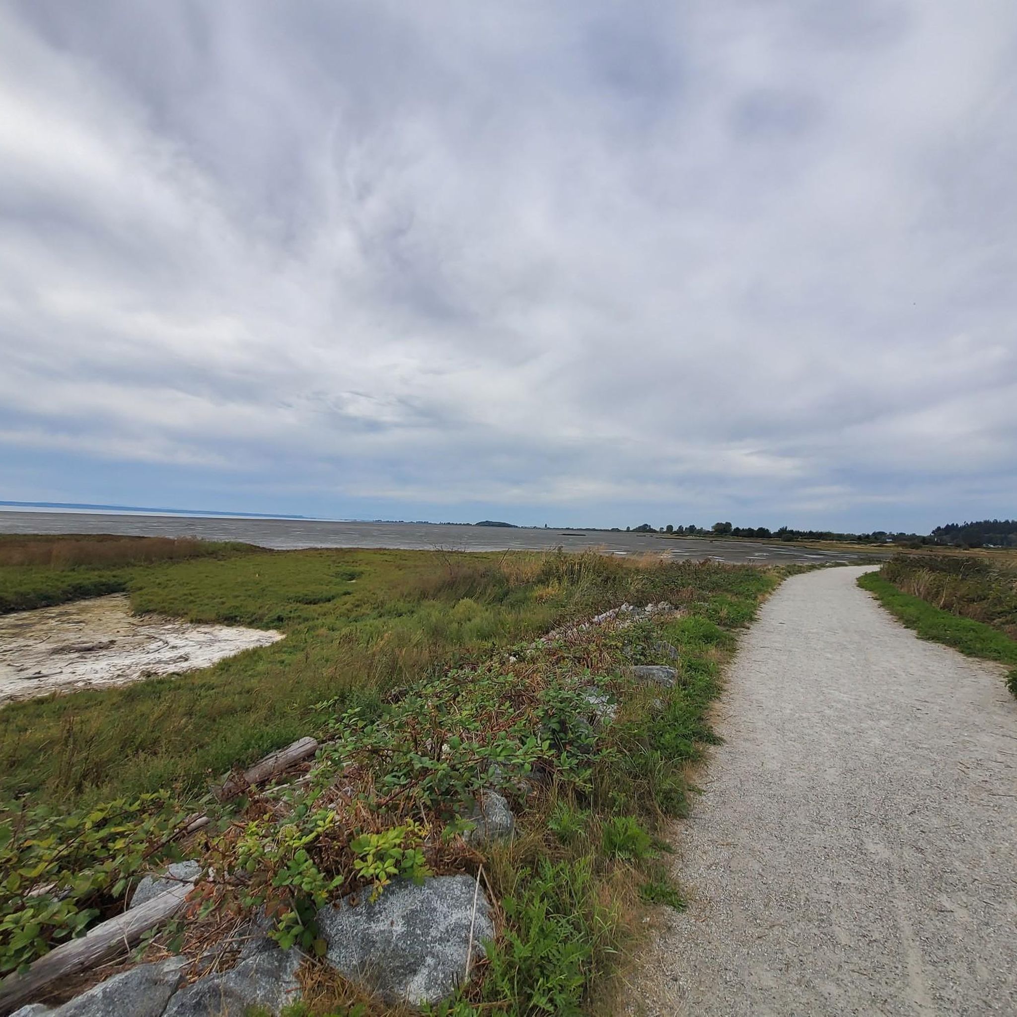
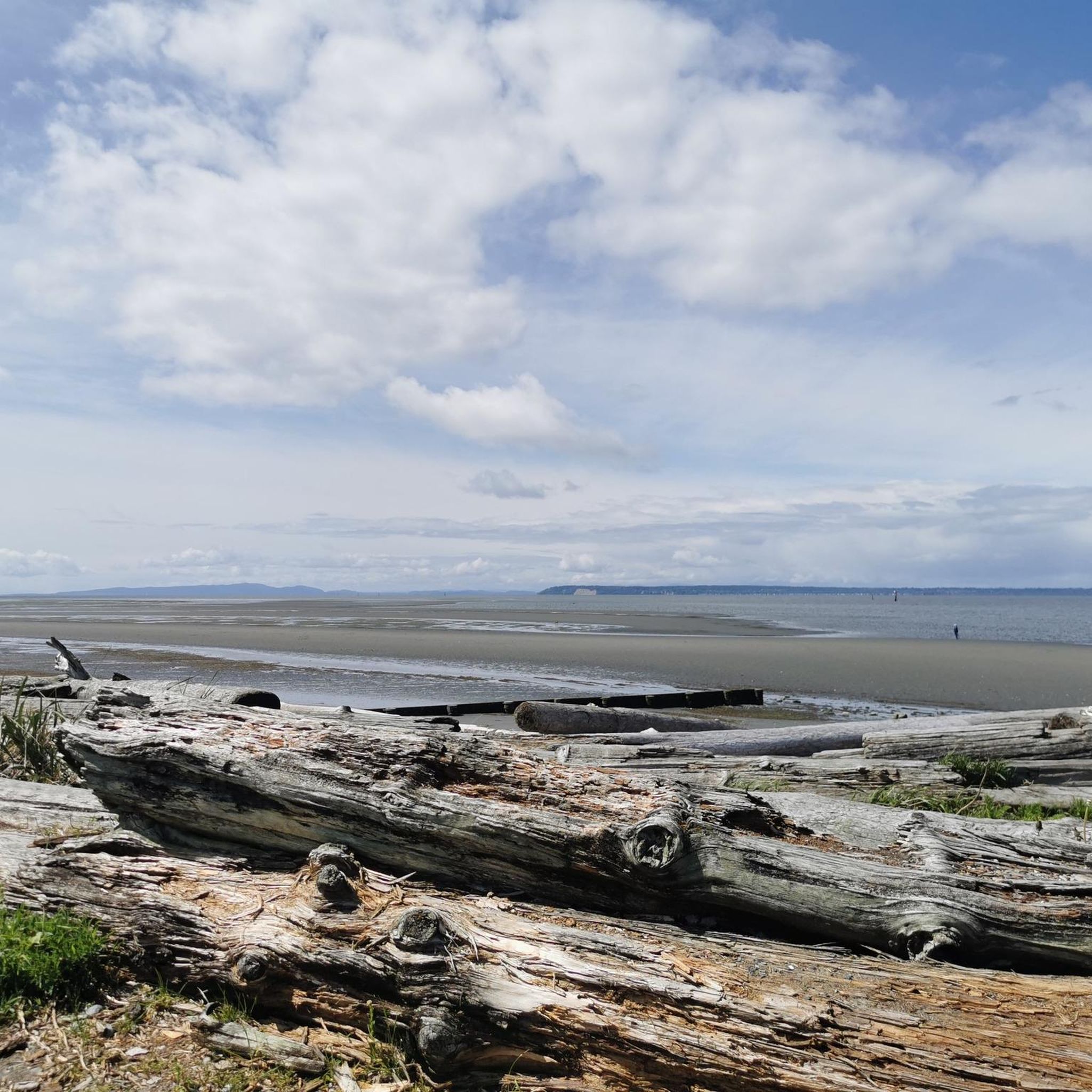
Boundary Bay Wildlife Management Area protects a vast stretch of intertidal mudflats, salt marsh, and eelgrass habitat along Boundary Bay. The area supports large numbers of migratory shorebirds and waterfowl, making it one of the most important bird habitats on Canada’s Pacific coast. Its accessible trails, consistent bird activity, and ever-changing tidal scenery make it an especially rewarding place to explore on foot or by bike.
0
0
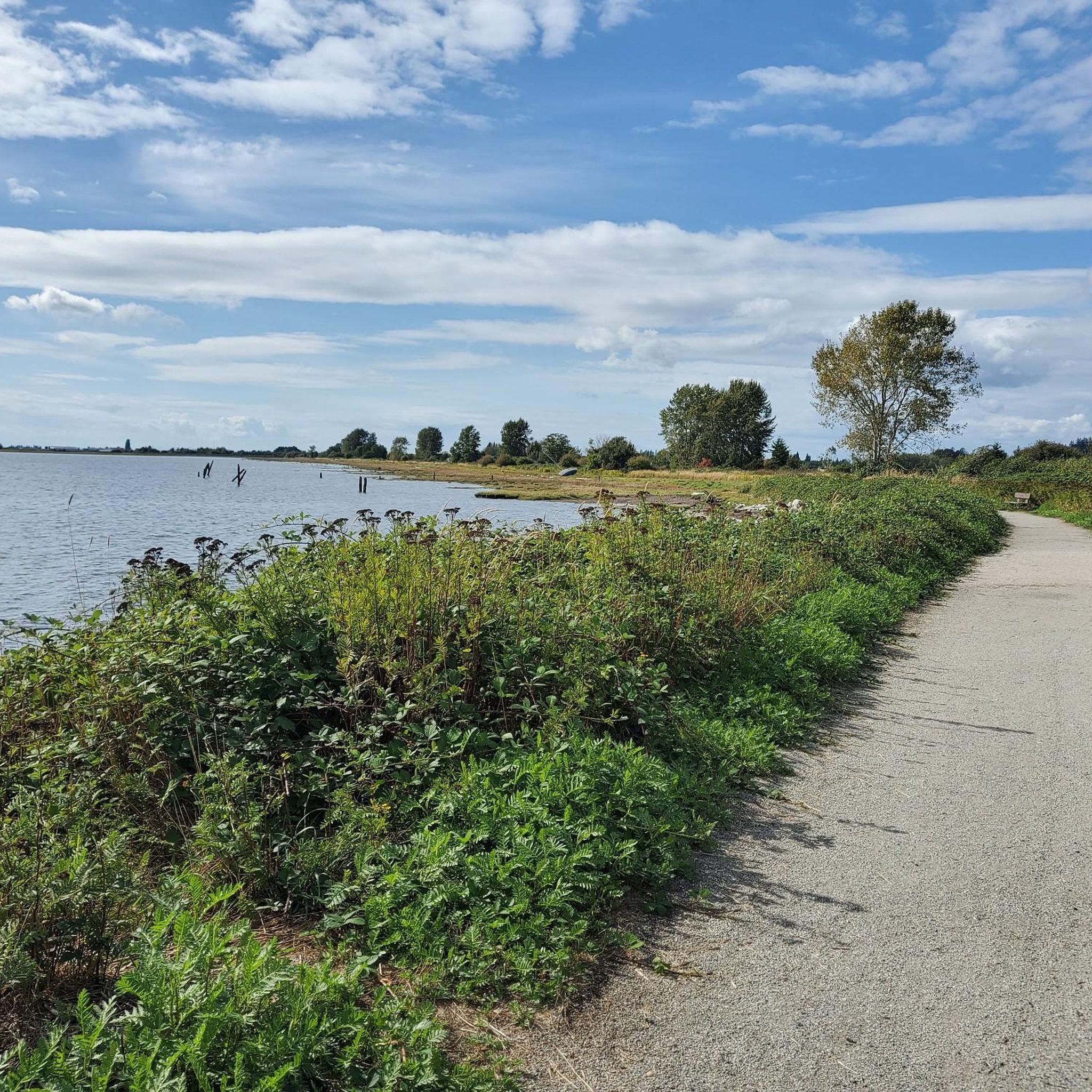
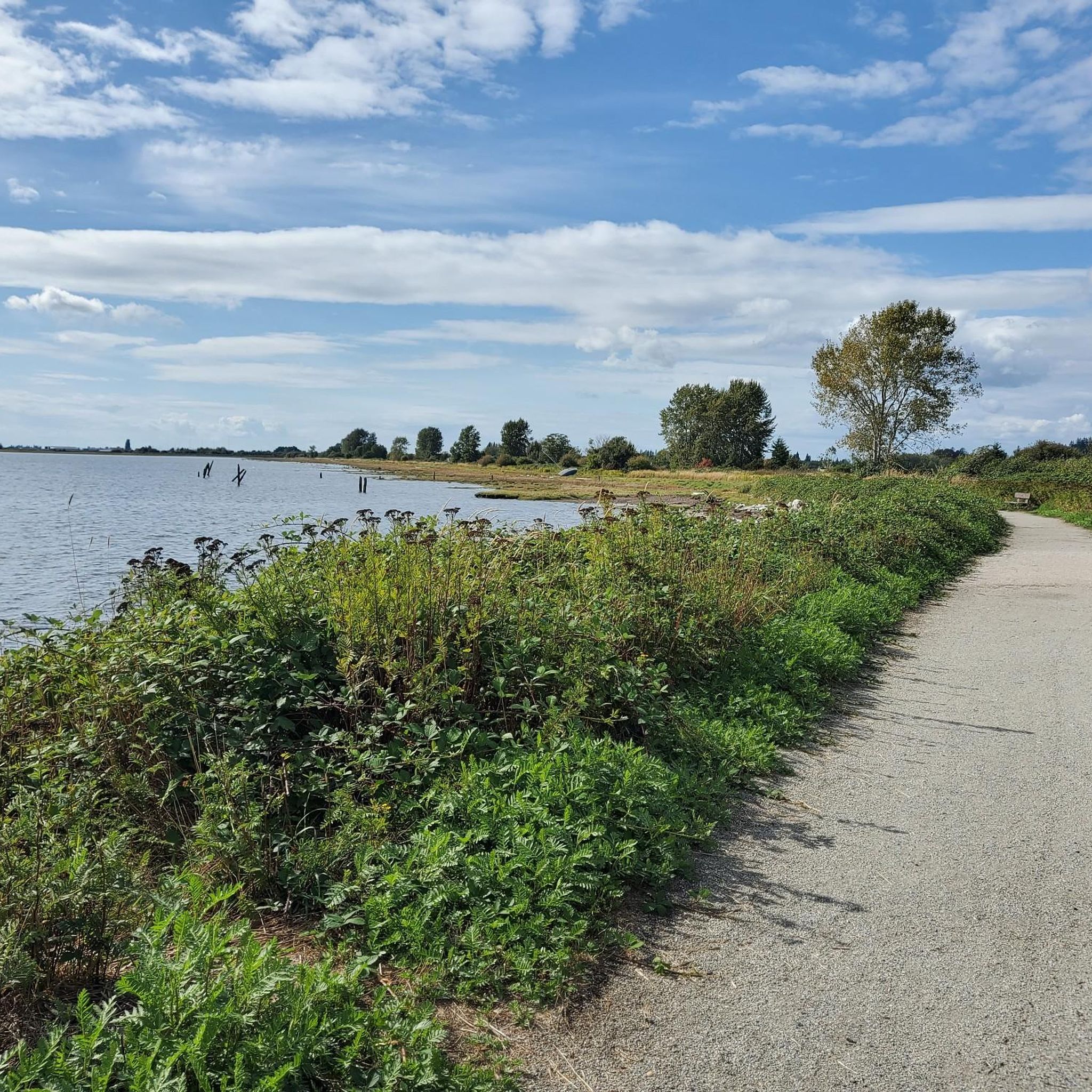
Boundary Bay Dyke Trail is a long, flat route along the shoreline, with uninterrupted views across mudflats and the open water. Its wide gravel surface is ideal for walking and cycling, with plenty of benches and access points along the way. Set along a major migratory route, the trail is especially known for birdlife and beautiful, expansive coastal scenery.
1
0

Smooth gravel. Beautiful views of Boundary Bay and Mount Baker.
0
0
Check the wind forecast and plan your ride accordingly.
0
0

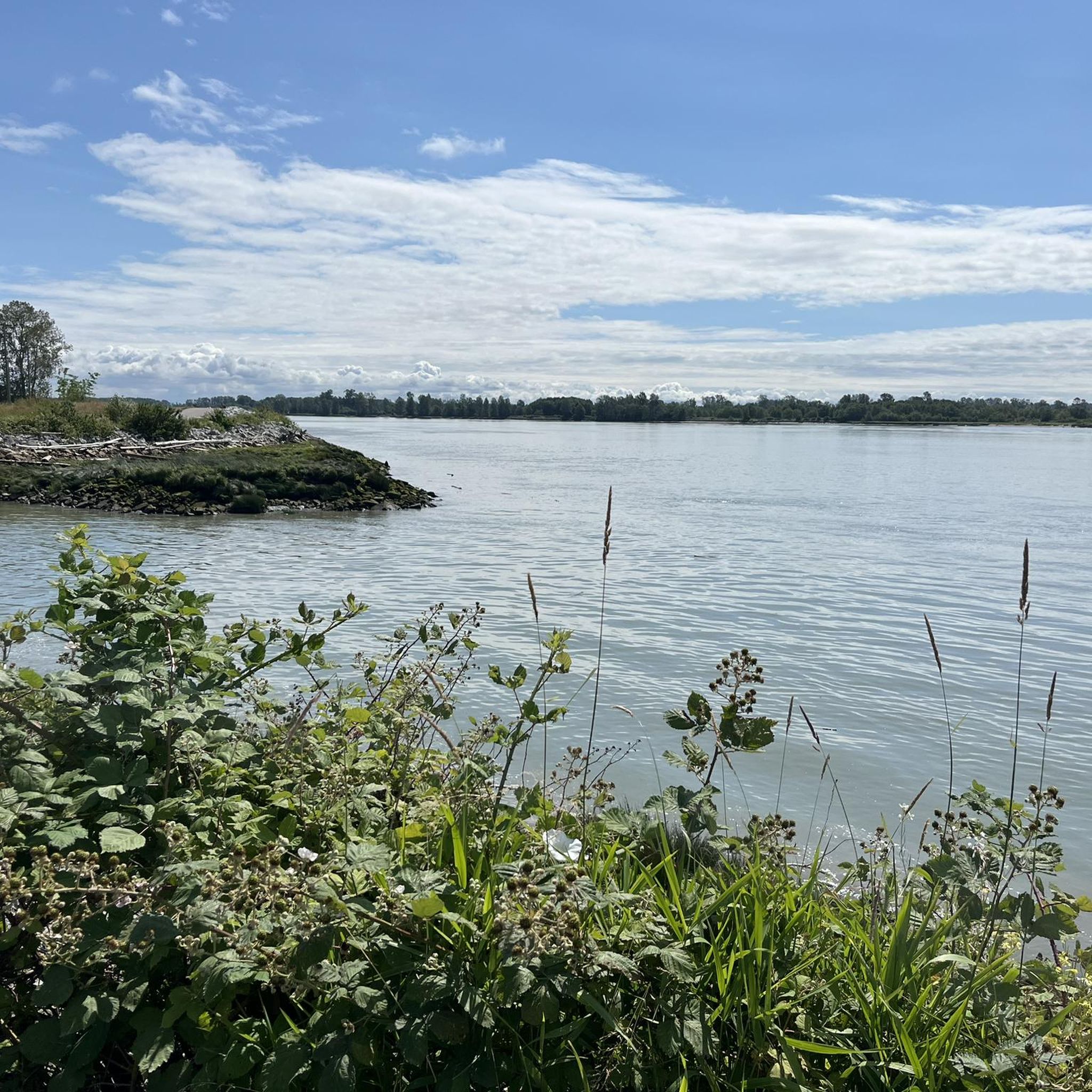
Deas Island Regional Park is a tranquil 300-acre green space situated along the Fraser River in Delta, BC. Located at 6090 Deas Island Road, the park is easily accessible from Vancouver via Highway 99 and the George Massey Tunnel. It offers approximately 7.6 km (4.7 miles) of easy, flat trails suitable for walking, cycling, and horseback riding. Popular trails include the Tinmaker’s Walk, Riverside Walk, and Island Tip Trail, which provide scenic views of the river and surrounding nature. The park is open daily from 7 a.m. to 10 p.m. during the summer months, with varying closing times in winter. Dogs are welcome on-leash. Vancouver Trails +2
1
0
Frequently Asked Questions
How many gravel bike trails are available in Fraser River Delta -- Ramsar?
There are over 10 gravel bike routes in the Fraser River Delta -- Ramsar region, catering to various skill levels. These trails primarily follow dikes, former railway lines, and coastal paths, offering a predominantly flat riding experience.
Are there easy gravel bike trails suitable for beginners or families?
Yes, the Fraser River Delta -- Ramsar region is well-suited for beginners and families due to its generally flat terrain and well-maintained gravel paths. Routes like the Mud Bay Park – Boundary Bay Gravel Path loop from Joe Brown Park Equestrian Trailhead offer a moderate, accessible ride along the bay.
What are some options for longer distance gravel biking routes in the area?
For those seeking longer rides, the region offers several routes that extend for many kilometers. Consider the Massey Tunnel Bike Underpass – Mud Bay Park loop from White Rock, which covers nearly 88 km and takes you through coastal areas and past significant infrastructure.
Where can I find parking and trailheads for gravel biking in Fraser River Delta -- Ramsar?
Many gravel bike routes in the Fraser River Delta -- Ramsar region start from accessible points with parking. For example, the popular Mud Bay Park – Boundary Bay Gravel Path loop begins near the Joe Brown Park Equestrian Trailhead, which typically offers parking facilities.
Are there challenging gravel biking routes for experienced riders?
While the region is largely flat, some routes offer longer distances and can be considered more challenging due to their length. The Mud Bay Park – Boundary Bay Gravel Path loop from Semiahmoo Town Centre, for instance, is a difficult-rated route spanning over 79 km, providing a good endurance test.
What is the best time of year for gravel biking in Fraser River Delta -- Ramsar?
The Fraser River Delta -- Ramsar region is generally enjoyable for gravel biking from spring through fall, when the weather is milder and precipitation is lower. The flat terrain means trails are less affected by snow, but winter rides may encounter colder temperatures and more rain, especially along exposed coastal sections.
What kind of wildlife might I encounter on the gravel bike trails?
As a Ramsar site, the Fraser River Delta is a globally significant wetland, making it a prime location for birdwatching. You might spot various waterfowl, shorebirds, and raptors along the dikes and coastal paths. Keep an eye out for other small mammals that inhabit the delta's diverse ecosystems.
Are there scenic gravel bike routes with good viewpoints?
Absolutely. Many routes in the Fraser River Delta -- Ramsar offer expansive views across Boundary Bay and the Fraser River. The Mud Bay Park – Boundary Bay Gravel Path loop from Alex Fraser Bridge provides excellent coastal vistas and opportunities to observe the delta's unique landscape.
What do other gravel bikers enjoy most about gravel biking in Fraser River Delta -- Ramsar?
The area is highly rated by the komoot community, with an average score of 4.8 stars. Reviewers often praise the region's flat, accessible gravel paths, the stunning coastal and river views, and the opportunity to experience the unique estuarine environment.
Are there any interesting landmarks or attractions along the gravel bike trails?
Yes, several points of interest can be found near or along the routes. You might pass by the historic White Rock Pier and Waterfront, or the Terra Nova Cannery and Sea Island Japanese Community History. The region also features natural attractions like Iona Beach, offering diverse sights during your ride.
Are there any good loop trails for gravel biking in the Fraser River Delta -- Ramsar?
The majority of gravel bike routes in the Fraser River Delta -- Ramsar are designed as loops, making them convenient for starting and ending at the same point. The Stewart Farmhouse – Crescent Beach loop from White Rock is a great example, offering a scenic circular ride.
Most popular routes in Fraser River Delta -- Ramsar
Most popular attractions in Fraser River Delta -- Ramsar

Get inspired with the komoot mobile app


Explore more
Browse the best Gravel rides in other regions.
