Don Edwards San Francisco Bay National Wildlife Refuge
Don Edwards San Francisco Bay National Wildlife Refuge
The best cycling routes in Don Edwards San Francisco Bay National Wildlife Refuge
4.6
(574)
9,628
riders
546
rides
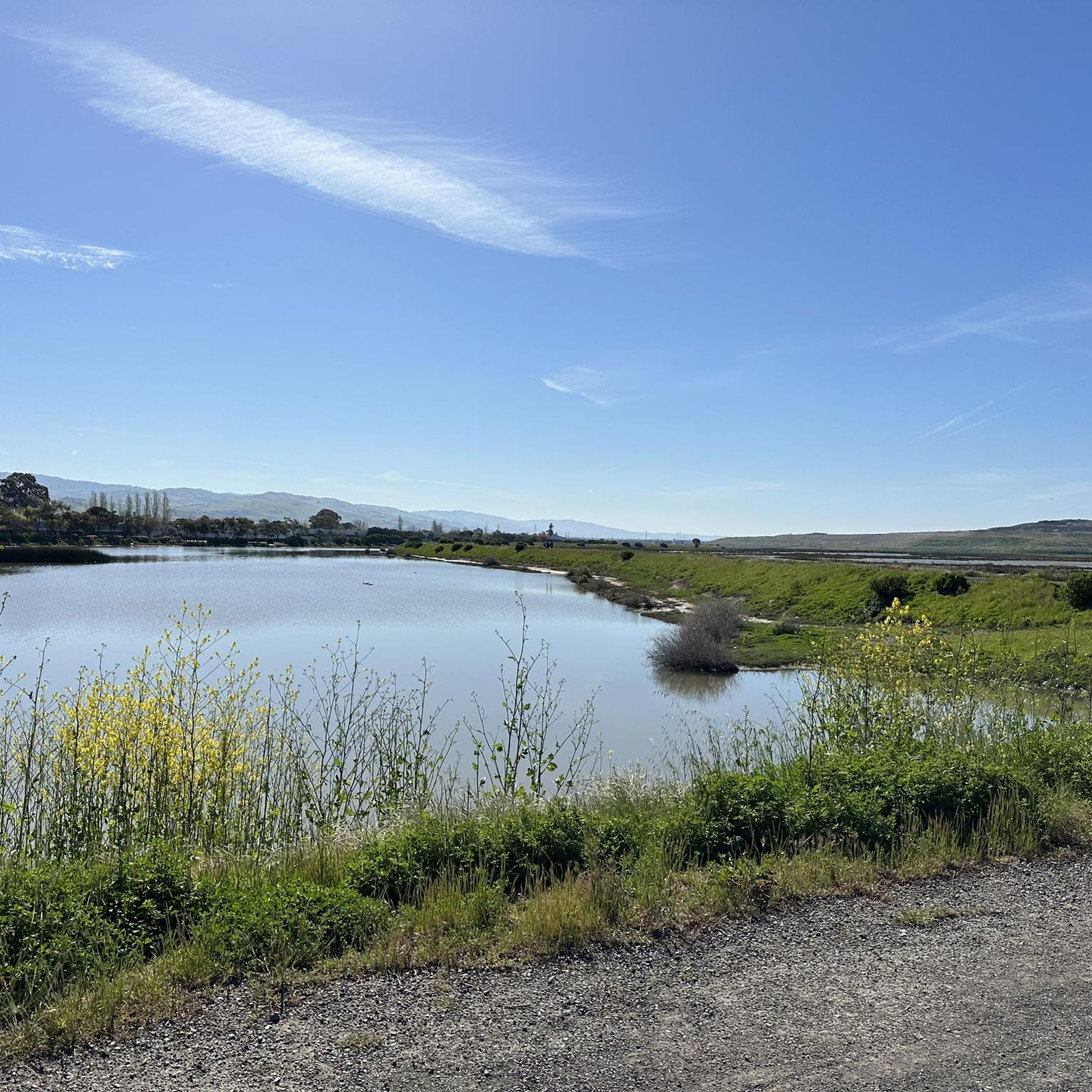
Touring cycling in Don Edwards San Francisco Bay National Wildlife Refuge offers routes primarily characterized by flat terrain along the San Francisco Bay shoreline. The landscape features extensive salt marshes, tidal sloughs, and open water, providing unique opportunities for wildlife viewing. These accessible bike trails Don Edwards Wildlife Refuge often follow levees and paved paths, making them suitable for various skill levels. The refuge's location provides expansive bay views and a network of loop bike trails Don Edwards National Wildlife…
Last updated: September 29, 2026
4.8
(5)
44
riders
52.1km
03:35
100m
100m
Cycle the San Francisco Bay Trail, a 32.4-mile moderate touring route with 339 feet of elevation gain, offering diverse bay views.
4.0
(2)
5
riders
45.8km
03:29
50m
50m
Cycle the moderate 28.5-mile San Francisco Bay Trail: Alviso Slough Loop for scenic views of salt ponds and abundant wildlife.

5.0
(2)
17
riders
9.91km
00:37
10m
10m
Easy bike ride. Great for any fitness level. Mostly paved surfaces. Suitable for all skill levels.
14
riders
Moderate bike ride. Good fitness required. Mostly paved surfaces. Suitable for all skill levels.
19
riders
Moderate bike ride. Good fitness required. Mostly paved surfaces. Suitable for all skill levels.
Get access to more routes and recommendations from other explorers.
Already have an account?
Our route recommendations are based on thousands of hikes, rides, and runs completed by other people on komoot.
Start today with a free account
Your next adventure awaits.
Popular around Don Edwards San Francisco Bay National Wildlife Refuge
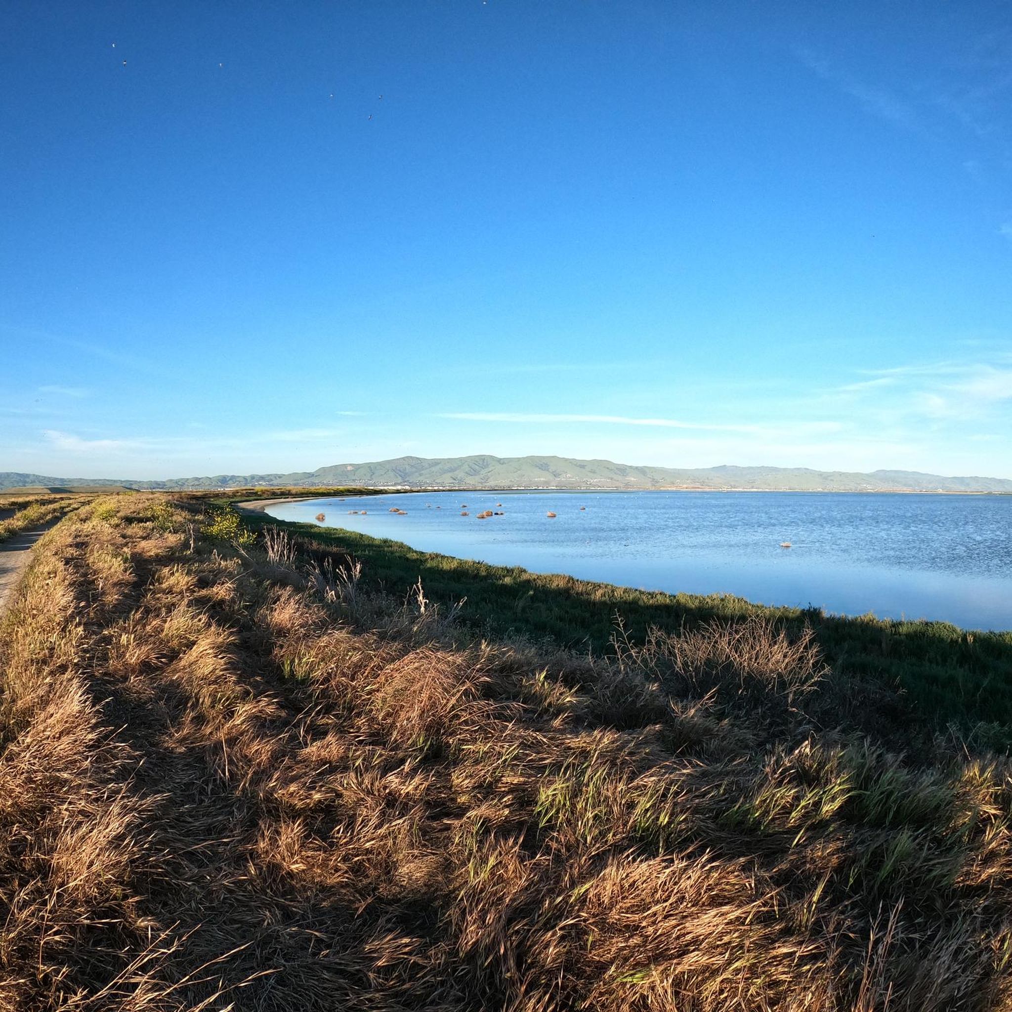
Running Trails in Don Edwards San Francisco Bay National Wildlife Refuge
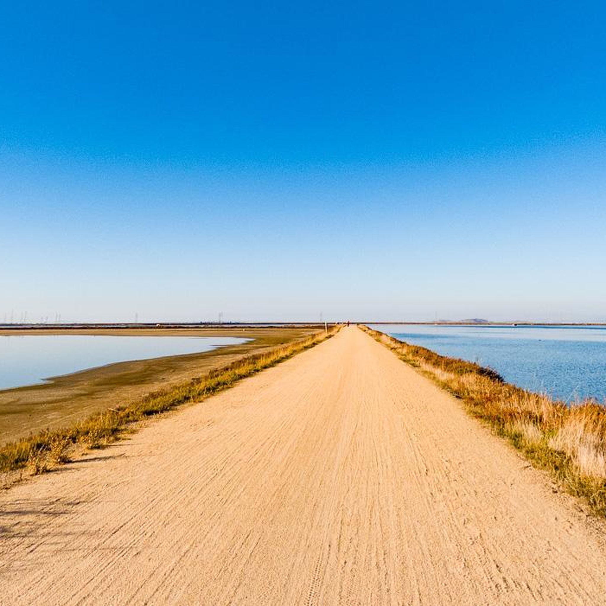
Hiking in Don Edwards San Francisco Bay National Wildlife Refuge
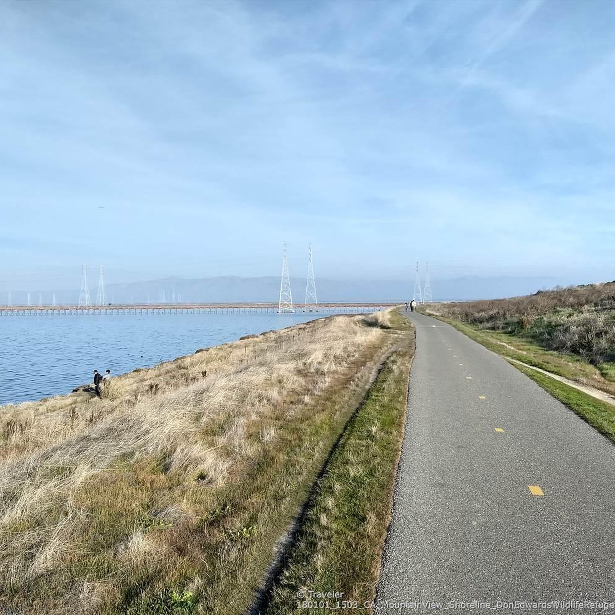
Road Cycling Routes in Don Edwards San Francisco Bay National Wildlife Refuge
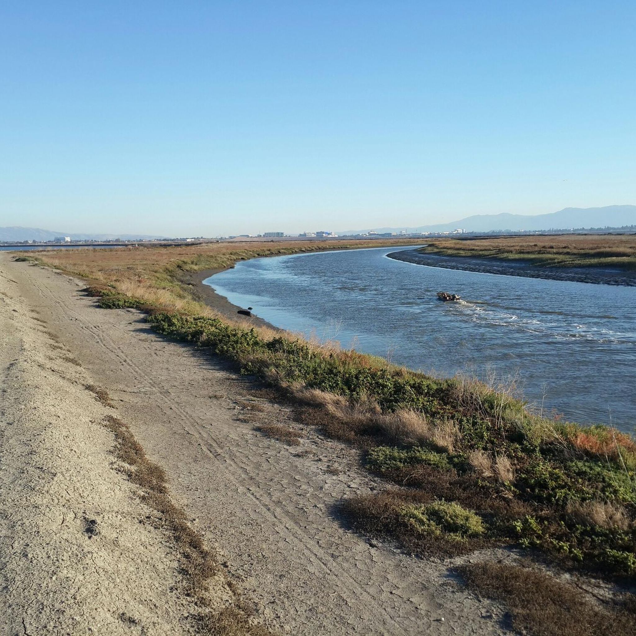
Gravel biking in Don Edwards San Francisco Bay National Wildlife Refuge
MTB Trails in Don Edwards San Francisco Bay National Wildlife Refuge
Tips from the Community

The stretch of trail through Coyote Hills Regional Park lives up to its name, with rolling hills that are fun, but not to the point of being technical, to ride.
0
0

The Guadalupe River Trail in downtown San Jose is a paved path for exercise or commuting by bike. Starting near the Children's Discovery Museum, the trail runs northward and is easily accessible via light rail and major cross streets. It provides opportunities for bird watching and people watching along the mostly flat, paved surface. The trail is popular for biking, running, and walking, with accessible parking, benches, and picnic areas. While the trail is ideal for daytime use, sections near downtown may have some litter and encampments, making it less advisable to ride here after sunset.
0
0


The only dedicated natural space in Santa Clara, Ulistac Natural Area is a sanctuary for migrating birds. It's also a great spot for walkers and runners alike to enjoy native plant species and look for wildlife, all of which now thrive here thanks to thousands of hours of volunteer restoration efforts.
0
0
Ravenswood Preserve, a 376-acre wetland in the San Francisco Bay, is a great spot for birdwatching and family fun. Open from half an hour before sunrise to half an hour after sunset, it features a flat trail for walking and biking along the marsh levee. Migrating birds like sandpipers, avocets, and herons frequent the area, while the marshland are home to endangered species like the Ridgway's rail.
0
0

Nestled in Baylands Nature Preserve, Byxbee Park is beautiful, featuring an array of sculpted earth & conceptual art. The park has trails for cyclists and hikers, restrooms, drinking fountains, and lovely benches to relax and enjoy the scenery in a peaceful atmosphere.
0
0
Frequently Asked Questions
How many touring cycling routes are available in Don Edwards San Francisco Bay National Wildlife Refuge?
There are over 500 touring cycling routes available in Don Edwards San Francisco Bay National Wildlife Refuge, offering a wide variety of options for exploration. These routes are highly rated by the komoot community, with an average score of 4.6 stars.
What is the best time of year to go touring cycling in the refuge?
The Don Edwards San Francisco Bay National Wildlife Refuge is generally pleasant for cycling year-round due to its mild climate. However, spring and fall often offer the most comfortable temperatures and excellent opportunities for birdwatching as migratory species pass through.
Are there beginner-friendly touring cycling routes in Don Edwards San Francisco Bay National Wildlife Refuge?
Yes, the refuge is known for its flat and accessible paths, making it ideal for beginners. An excellent option is the Charleston Slough – Pelican Island at Adobe Creek loop from Shoreline Amphitheatre, which is an easy 8.6-mile (13.8 km) trail through marshlands.
Can I find circular touring cycling routes in the refuge?
Absolutely. Many routes in the refuge are designed as loops, allowing you to start and end at the same point. A popular moderate loop is the San Francisco Bay Trail: Alviso Slough Loop, which covers 28.4 miles (45.8 km) and winds through diverse slough ecosystems.
What kind of wildlife can I expect to see while cycling?
The refuge is a haven for wildlife, especially birds. Cyclists often spot various shorebirds, waterfowl, and raptors. Keep an eye out for avocets, stilts, pelicans, and even peregrine falcons. The extensive salt marshes and tidal sloughs provide critical habitats for these species.
Are there any family-friendly touring cycling options?
Yes, the flat and well-maintained trails make the refuge very family-friendly. Routes like the Bliss In The Moment – Ravenswood Open Space Preserve loop from Shoreline Amphitheatre offer an easy 13.8-mile (22.3 km) ride, perfect for families looking for a relaxed outing with scenic views.
Where can I park when visiting the Don Edwards San Francisco Bay National Wildlife Refuge for cycling?
Parking is available at various access points around the refuge. Many routes, such as those starting near Shoreline Amphitheatre or Dumbarton Bridge, have designated parking areas. It's advisable to check the specific trailhead for parking information before your visit.
Is public transport an option to reach the cycling routes?
While direct public transport to all trailheads might be limited, some areas of the refuge are accessible via public transport networks in the surrounding Bay Area cities. You may need to combine public transport with a short ride to reach your desired starting point.
Are there places to eat or get refreshments near the cycling routes?
The refuge itself is a natural area with limited commercial services. However, the refuge is situated close to several Bay Area cities like Fremont, Newark, and Alviso, where you can find a variety of cafes, restaurants, and grocery stores for refreshments before or after your ride.
What interesting sights or landmarks can I explore along the touring cycling routes?
Along the routes, you can discover several points of interest. Consider visiting the Former salt ponds – Alviso wetlands for a glimpse into the area's history, or the Bayview Trail Observation Deck for panoramic views. The Coyote Creek Lagoon of Don Edwards wetlands also offers beautiful scenery.
What do other touring cyclists enjoy most about the routes in Don Edwards San Francisco Bay National Wildlife Refuge?
The area is highly rated by the komoot community, with an average score of 4.6 stars from over 450 reviews. Reviewers often praise the flat, well-maintained paths, the continuous bayfront views, and the abundant opportunities for wildlife viewing, especially birdwatching. The tranquility and accessibility for all skill levels are also frequently highlighted.
What is the typical terrain like for touring cycling in the refuge?
The terrain for touring cycling in Don Edwards San Francisco Bay National Wildlife Refuge is predominantly flat. Routes primarily follow levees and paved paths along the San Francisco Bay shoreline, making for smooth and easy riding conditions suitable for all types of touring bicycles.
Are there any longer touring cycling routes for experienced riders?
Yes, for those seeking a longer ride, the San Francisco Bay Trail offers a substantial 32.4-mile (52.1 km) journey with continuous bayfront views, providing a good challenge for experienced touring cyclists.
Most popular routes in Don Edwards San Francisco Bay National Wildlife Refuge
Most popular attractions in Don Edwards San Francisco Bay National Wildlife Refuge

Get inspired with the komoot mobile app


Explore more
Browse the best Cycling routes in other regions.
