The best gravel rides around Unterweid
5.0
(8)
17
riders
5
rides
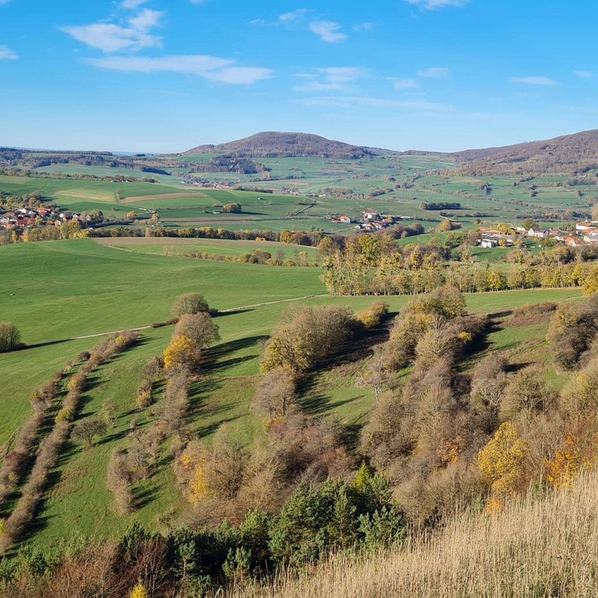
Gravel biking around Unterweid offers routes through the Weidtal valley within the Thuringian Rhön region. The landscape features rolling hills, basalt cones, and diverse forest-covered terrain, characteristic of the Rhön Biosphere Reserve. This area provides a mix of ascents, descents, and varied surfaces for gravel cyclists. The terrain includes quiet forest roads, smooth double-track paths, and country roads with minimal traffic.
Best gravel bike trails around Unterweid
- The most popular gravel bike trail is Brand-Wickers Cycle Path – View of…
Last updated: July 16, 2026
5.0
(6)
8
riders
27.4km
01:41
440m
440m
Moderate gravel ride. Good fitness required. Mostly paved surfaces. Suitable for all skill levels.
2
riders
24.9km
01:47
550m
550m
Hard gravel ride. Very good fitness required. Mostly paved surfaces. Suitable for all skill levels.

Sign up for free
5.0
(2)
3
riders
60.1km
03:57
1,050m
1,050m
Hard gravel ride. Very good fitness required. Mostly paved surfaces. Suitable for all skill levels.
2
riders
25.3km
01:33
370m
370m
Moderate gravel ride. Good fitness required. Mostly paved surfaces. Suitable for all skill levels.
2
riders
42.8km
02:55
700m
700m
Hard gravel ride. Very good fitness required. Mostly paved surfaces. Suitable for all skill levels.
Our route recommendations are based on thousands of hikes, rides, and runs completed by other people on komoot.
Start today with a free account
Your next adventure awaits.
Login or Signup
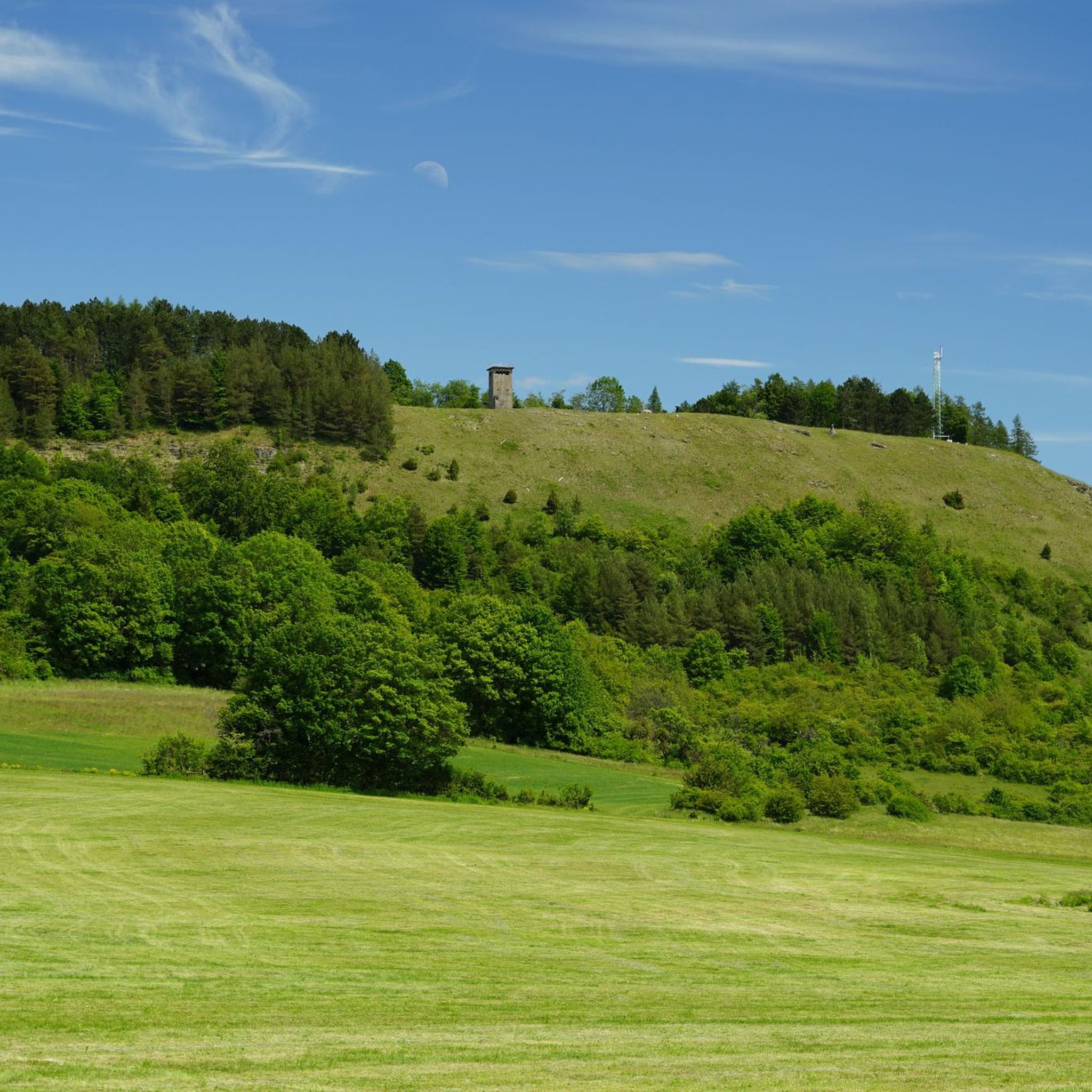
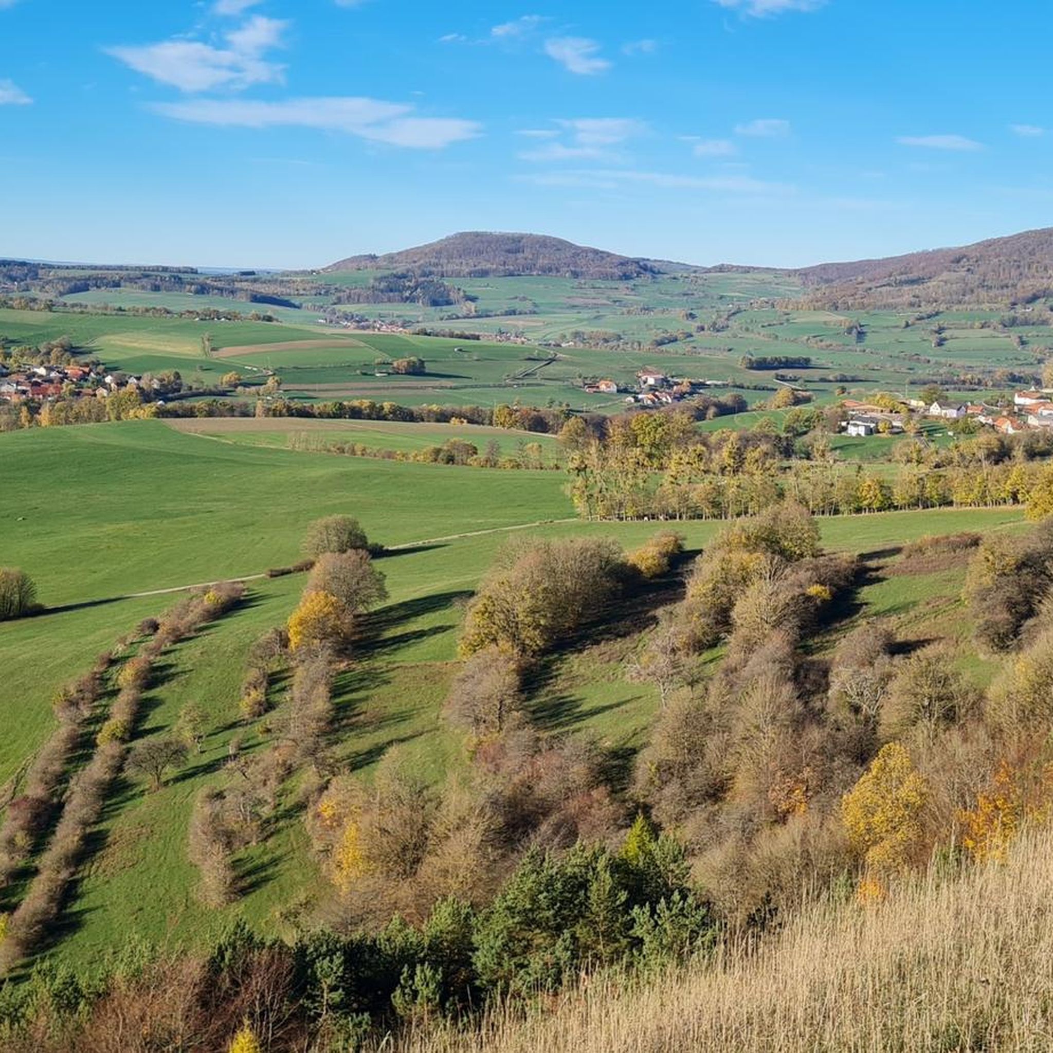
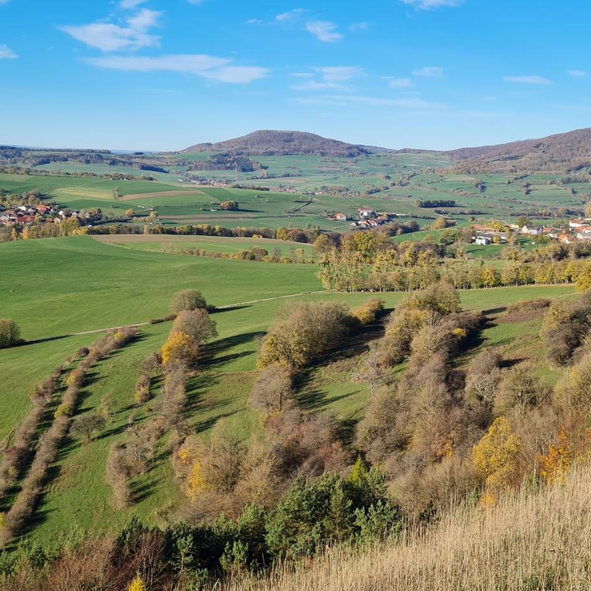
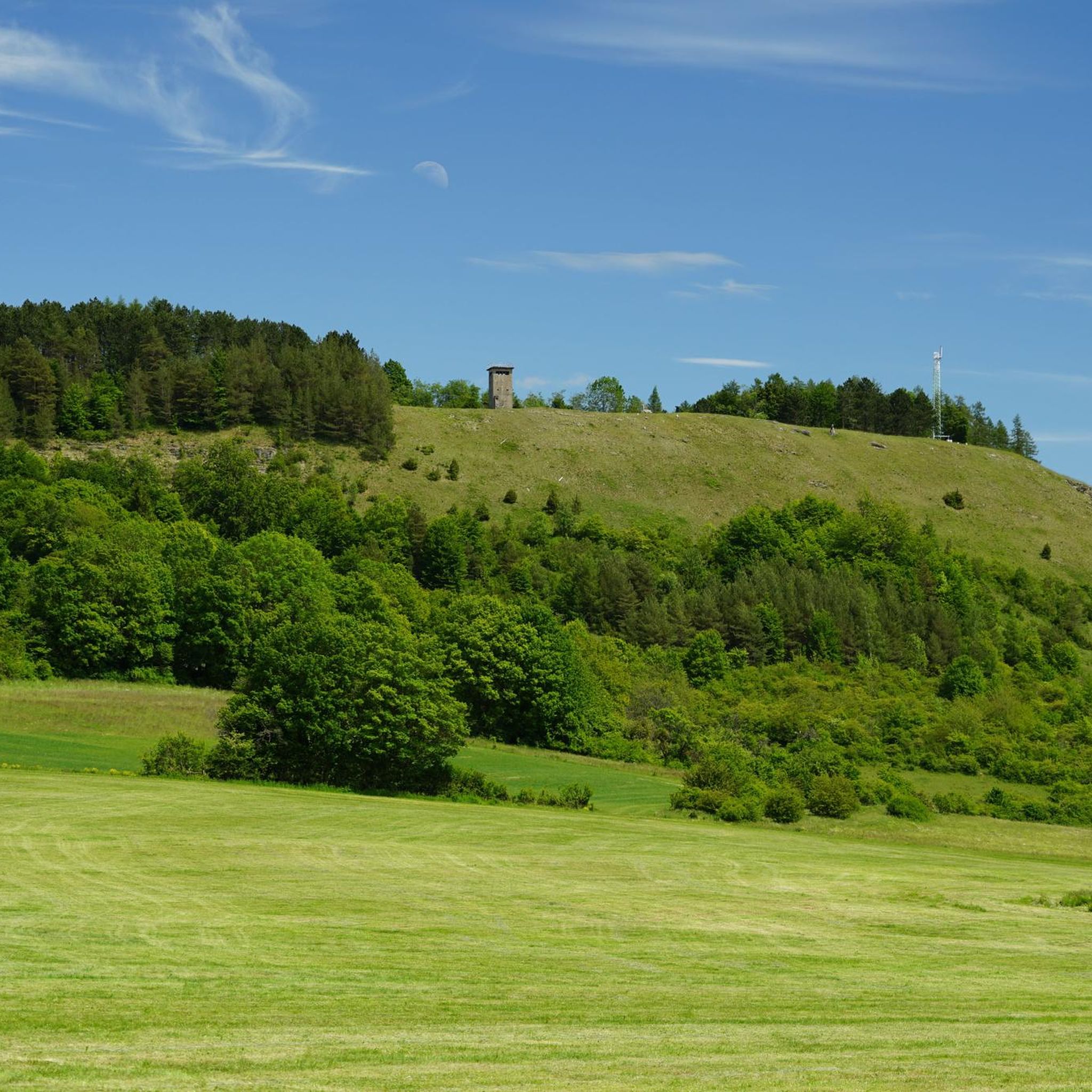
Tips from the Community

Very worthwhile to walk there - beautiful view from the tower.
0
0
Very nice, a part of the Rhön.
0
0

The Milseburg is the most beautiful mountain in the Rhön.
0
0

Oll Oll Oll Oll Oll oll oll ä Pop Pop LOL Oll LOL LOL LOL LOL LOL Oll Oll p ö Oll Oll Mol Oll LL LL LL LOL komm l p
0
2


Both top cycle paths and recommended
1
0
Top-preserved "Old Hilders Train Station"
0
0
Very nice cycle path - you should definitely try this route
0
0
Frequently Asked Questions
How many gravel bike trails are available around Unterweid?
There are 12 gravel bike trails available around Unterweid. These routes cater to various skill levels, with 3 moderate options and 9 more challenging routes for experienced riders.
What kind of terrain can I expect on gravel bike trails in the Unterweid region?
The Unterweid region, nestled in the Thuringian Rhön, offers a diverse landscape for gravel biking. You can expect a mix of rolling hills, basalt cones, and both barren and mixed forest-covered terrain. The routes often combine paved surfaces with gravel, meadow paths, and even short trail sections, providing a dynamic and engaging experience.
Are there any particularly scenic routes or viewpoints for gravel bikers?
Absolutely! The Rhön Mountains are known for their breathtaking open views across the landscape. For a route that offers stunning vistas, consider the View of the Rhön Mountains – View of Harbachstein loop from Hilders. You can also find incredible panoramic views from highlights like the Noah's Segel Observation Tower on the Ellenbogen or the Gläserberg Summit and Dermbach Hut.
What are some notable natural attractions I can explore near the gravel routes?
The region is part of the Rhön Biosphere Reserve, home to unique natural features. A significant attraction is the Black Moor (Schwarzes Moor), the best-preserved high moor in the German low mountain ranges. While the boardwalk through the moor is for hiking, the surrounding area contributes to the scenic beauty. You can find highlights like the Schwarzes Moor Nature Trail and the Great Moor Eye (Black Moor) nearby.
Are there any family-friendly gravel biking options around Unterweid?
While many routes in the region are moderate to difficult, some sections of the Brand-Wickers Cycle Path – View of Milseburg loop from Eckweisbach are predominantly paved and suitable for all skill levels, making it a good option for families looking for a less strenuous ride. Always check the route details for specific difficulty and terrain before heading out with children.
What is the best time of year to go gravel biking in Unterweid?
The Thuringian Rhön region is beautiful throughout the warmer months. Spring and autumn offer pleasant temperatures and vibrant scenery, making them ideal for gravel biking. Summer is also great, but be prepared for potentially warmer weather. Always check local weather forecasts before your ride.
Are there any circular gravel routes available?
Yes, many of the gravel routes around Unterweid are designed as loops. For example, the Milseburg Tunnel – View of Bieberstein Castle loop from Unterweid is a challenging circular route, and the Hohe Asch Summit – Felda Rail Trail loop from Empfertshausen offers a moderate circular option.
Where can I find parking for gravel bike trails near Unterweid?
Parking is generally available in the starting towns of many routes. For instance, you can find parking in Eckweisbach for routes like the Brand-Wickers Cycle Path – View of Milseburg loop, or in Hilders for the View of the Rhön Mountains – View of Harbachstein loop. Always check the specific route details on komoot for recommended starting points and parking information.
What do other gravel bikers say about the trails in Unterweid?
The gravel biking routes around Unterweid are highly regarded by the komoot community, boasting an average rating of 5.0 stars from over 10 reviews. Riders frequently praise the diverse terrain, the scenic views across the Rhön landscape, and the well-maintained paths that make for an enjoyable and challenging experience.
Are there places to stop for refreshments or rest along the routes?
Yes, the Rhön region has a good infrastructure for outdoor enthusiasts. You'll find numerous hiking huts, summit huts, and even huts with restaurants, such as the Gläserberg Summit and Dermbach Hut, Thuringian Rhön House, and Rhönbrise Hiking Hut. These establishments offer excellent opportunities for rest, meals, and enjoying panoramic views during your ride.
Can I bring my dog on the gravel bike trails?
While many natural areas in Germany are dog-friendly, it's always best to check local regulations, especially within the Rhön Biosphere Reserve, regarding dogs on trails. Generally, dogs are welcome on leash, but some sensitive areas or nature reserves might have specific restrictions. Ensure your dog is well-behaved and can handle the varied terrain and distances.
What is the longest gravel bike route I can find starting near Unterweid?
One of the longer and more challenging routes in the area is the Milseburg Tunnel – View of Bieberstein Castle loop from Unterweid, which covers approximately 56 kilometers (35 miles) with significant elevation gain, making it a substantial ride for experienced gravel bikers.
Most popular attractions around Unterweid

Get inspired with the komoot mobile app


Explore more
Browse the best Gravel rides in other regions.
