The best cycling routes around Unterweid
4.6
(1564)
6,911
riders
259
rides
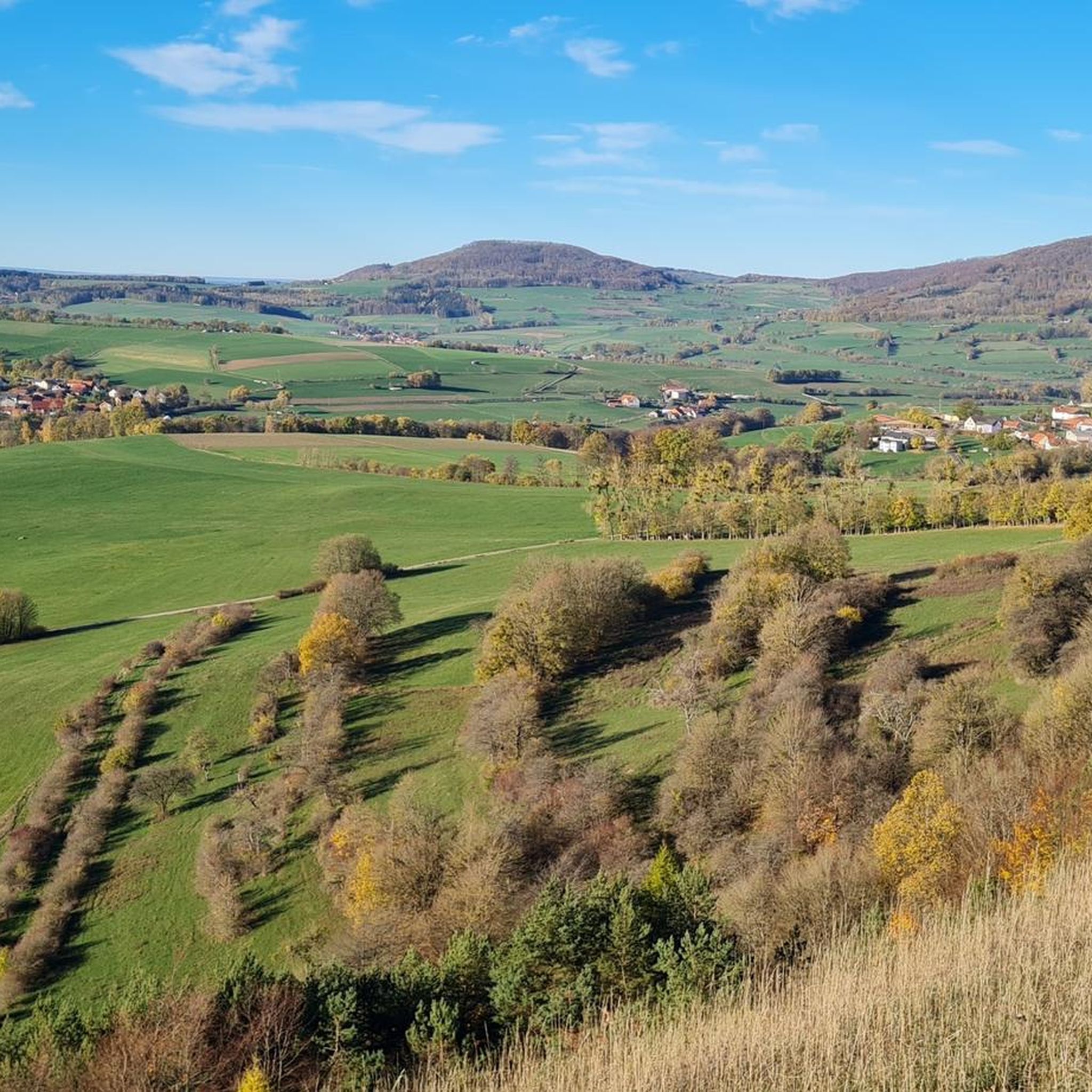
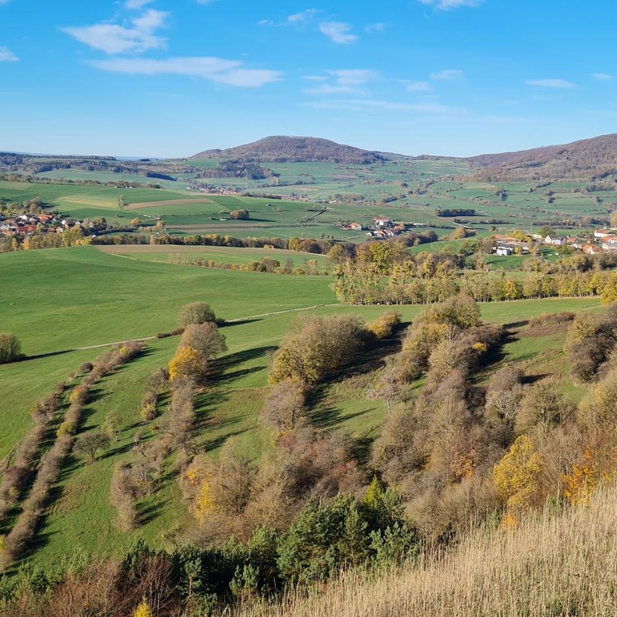
Touring cycling around Unterweid offers routes through the Thuringian Rhön region, a landscape characterized by rolling hills and diverse natural features. Situated in the Weidtal valley at an elevation of approximately 437-442 meters, the area is part of the Rhön Biosphere Reserve. This region features extensive spruce forests, flowering mountain meadows, and gently rolling hills, providing varied terrain for touring cyclists. The proximity to the Schwarzes Moor, a well-preserved raised bog, adds to the unique natural environment.
Best touring cycling…
Last updated: July 5, 2026
4.8
(5)
17
riders
23.6km
01:37
380m
380m
Moderate bike ride. Good fitness required. Mostly paved surfaces. Suitable for all skill levels.
4.0
(2)
14
riders
Hard bike ride. Very good fitness required. Mostly paved surfaces. Suitable for all skill levels.

Sign up for free
4
riders
19.0km
01:29
350m
350m
Hard bike ride. Good fitness required. You may need to push your bike for some segments of this route.
4.0
(4)
7
riders
34.1km
02:31
560m
560m
Hard bike ride. Very good fitness required. You may need to push your bike for some segments of this route.
5
riders
Easy bike ride. Great for any fitness level. Mostly paved surfaces. Suitable for all skill levels.
Get access to more routes and recommendations from other explorers.
Sign up for free
Already have an account?
Our route recommendations are based on thousands of hikes, rides, and runs completed by other people on komoot.
Start today with a free account
Your next adventure awaits.
Login or Signup

Tips from the Community

The dedication to "Our Lady of the Snows"—a not very common one in my experience—indicates that this church/chapel was dedicated to the Virgin Mary, but not, as is usually the case, to one of her classic feast days (such as the Holy Name of Mary, the Nativity, the Assumption, or as Queen of the Rosary). Rather, the search for the origin of "Our Lady of the Snows" takes us far back in church history to the fourth/fifth century, and geographically, across the Alps to the Italian capital. On August 5, 363, at the very spot where the magnificent Basilica of Santa Maria Maggiore now stands (where Pope Francis was buried a few months ago), the so-called "Miracle of the Snows" occurred. That is to say, on that day, in the middle of summer, snow lay there in the morning because the Virgin Mary wished to have a church dedicated to her built on that very spot. She conveyed this wish in a nighttime vision to a wealthy couple—who financed the construction—and to the Bishop of Rome, Pope Liberius. The Roman church holds the rank of a patriarchal basilica (papal basilica); it is the origin of all churches and chapels with this patronage. In the liturgical calendar of the Catholic Church, August 5th, the church's consecration day (in the year 432 by Pope Sixtus III), is an optional memorial.
1
0

old hydroelectric power station
0
0

A nice resting place
2
0
Interesting
2
1
Very nice here
2
0
Frequently Asked Questions
How many touring cycling routes are available around Unterweid?
There are over 260 touring cycling routes in the Unterweid region. These routes offer a variety of experiences, from easier paths to more challenging ascents through the Thuringian Rhön.
What is the general terrain like for touring cycling in the Unterweid region?
The terrain around Unterweid is characterized by gently rolling hills, intervening valleys, and diverse natural landscapes within the Rhön Biosphere Reserve. You'll encounter extensive spruce forests and flowering mountain meadows, providing scenic and varied conditions for touring cyclists.
Are there touring cycling routes suitable for beginners or those looking for an easier ride?
Yes, the Unterweid area offers options for various ability levels. There are over 50 easy touring cycling routes and more than 100 moderate routes, making it accessible for beginners or those preferring a less strenuous ride.
What natural attractions can I expect to see along touring cycling routes near Unterweid?
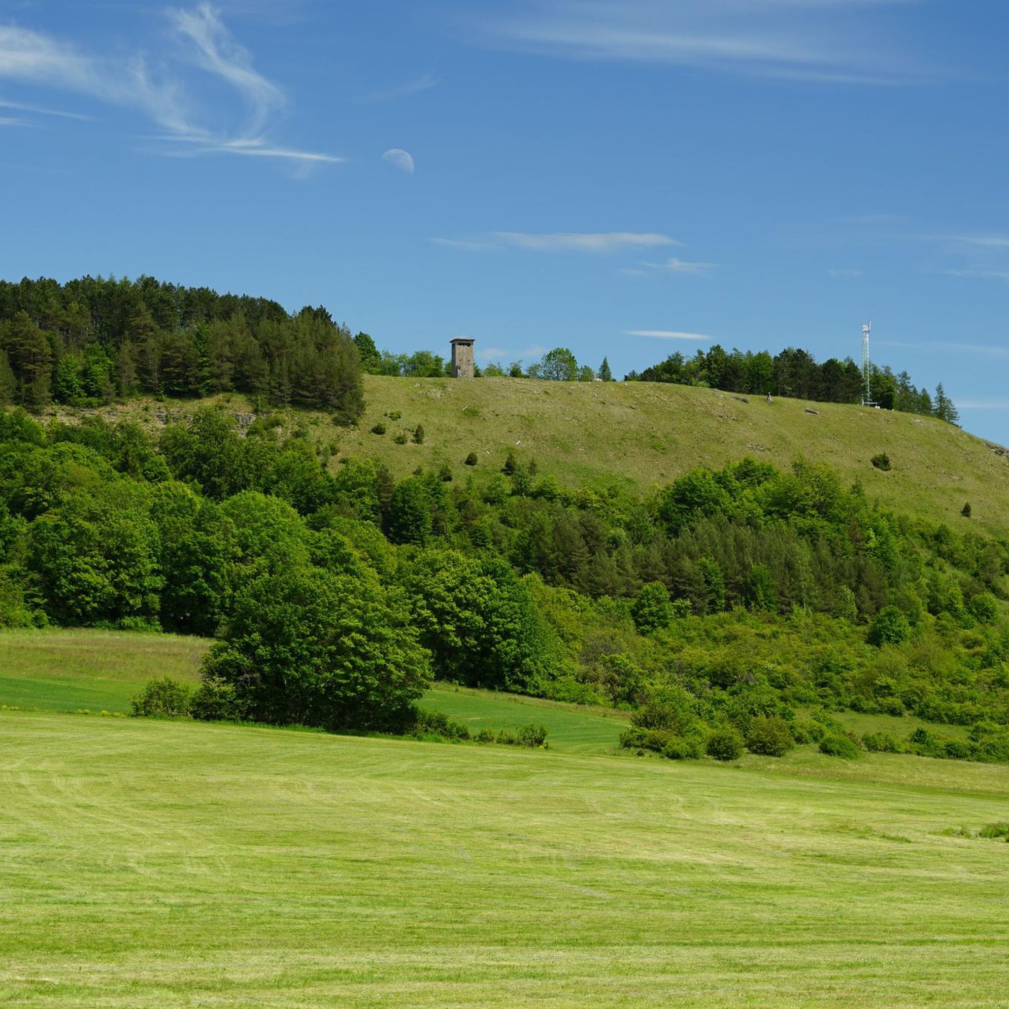
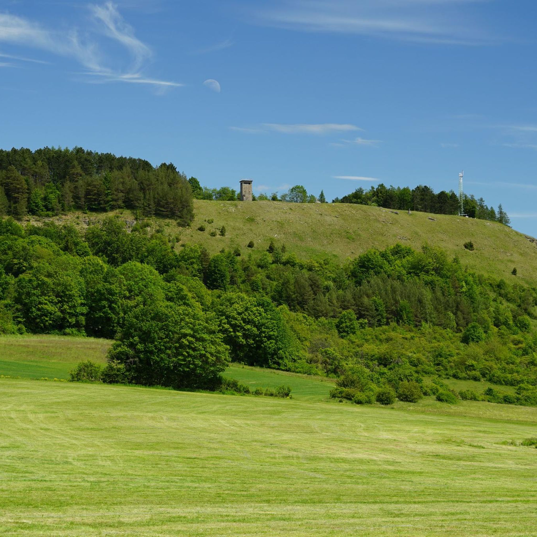
Many routes will take you near significant natural attractions. You can explore the Schwarzes Moor Nature Trail, a well-preserved raised bog, or visit the Noah's Segel Observation Tower on the Ellenbogen for panoramic views. Other highlights include the Buchschirmberg summit and the Basalt Lake Waterfall.
Are there any circular touring cycling routes around Unterweid?
Yes, many touring cycling routes in the region are designed as loops. For example, the Habel Village and Habelberg – Tann Castle loop from Dippach is a moderate 14.6-mile (23.6 km) circular path that showcases local landmarks.
What do other touring cyclists enjoy the most about cycling in Unterweid?
The touring cycling routes around Unterweid are highly rated by the komoot community, with an average score of 4.6 stars from over 1,400 reviews. Cyclists often praise the diverse terrain, the scenic views of the Rhön Biosphere Reserve, and the well-maintained paths through forests and meadows.
Can I find routes that offer views of valleys or specific landmarks?
Absolutely. Routes like the View of the Streutal Valley – Wüstensachsen loop from Simmershausen provide expansive valley views. Another option is the View of the Ulster Valley – Kranlucken village church loop from Oberweid, which leads through the picturesque Ulster Valley.
Are there any routes that follow old railway lines?
Yes, you can find routes that incorporate former railway lines, which often provide flatter and more accessible cycling paths. An example is the Felda – Felda Rail Trail loop from Hundsbach, offering a unique cycling experience.
What is the best time of year for touring cycling in Unterweid?
The Thuringian Rhön region is generally pleasant for cycling during warmer months, typically from spring through autumn. The flowering mountain meadows are particularly beautiful in spring and early summer, while autumn offers vibrant foliage. Winter cycling might be possible on some routes, but conditions can be challenging due to snow and ice.
Are there any longer, more challenging touring cycling routes for experienced riders?
Yes, for experienced riders seeking a challenge, there are numerous difficult routes. For instance, the Habel Village and Habelberg – Milseburg Tunnel loop from Oberweid covers over 40 km with significant elevation gain, offering a demanding yet rewarding experience.
How can I get to Unterweid for cycling, and is parking available?
Unterweid is located in the district of Schmalkalden-Meiningen, near the border of Hesse and Thuringia. While specific public transport details to trailheads vary, the broader German cycling infrastructure often includes well-developed, low-traffic roads. Parking is generally available in or near villages and popular starting points for routes, though it's advisable to check local signage.
Most popular attractions around Unterweid

Get inspired with the komoot mobile app


Explore more
Browse the best Cycling routes in other regions.
