The best walks and hikes around Unterweid
4.6
(6607)
23,265
hikers
663
hikes
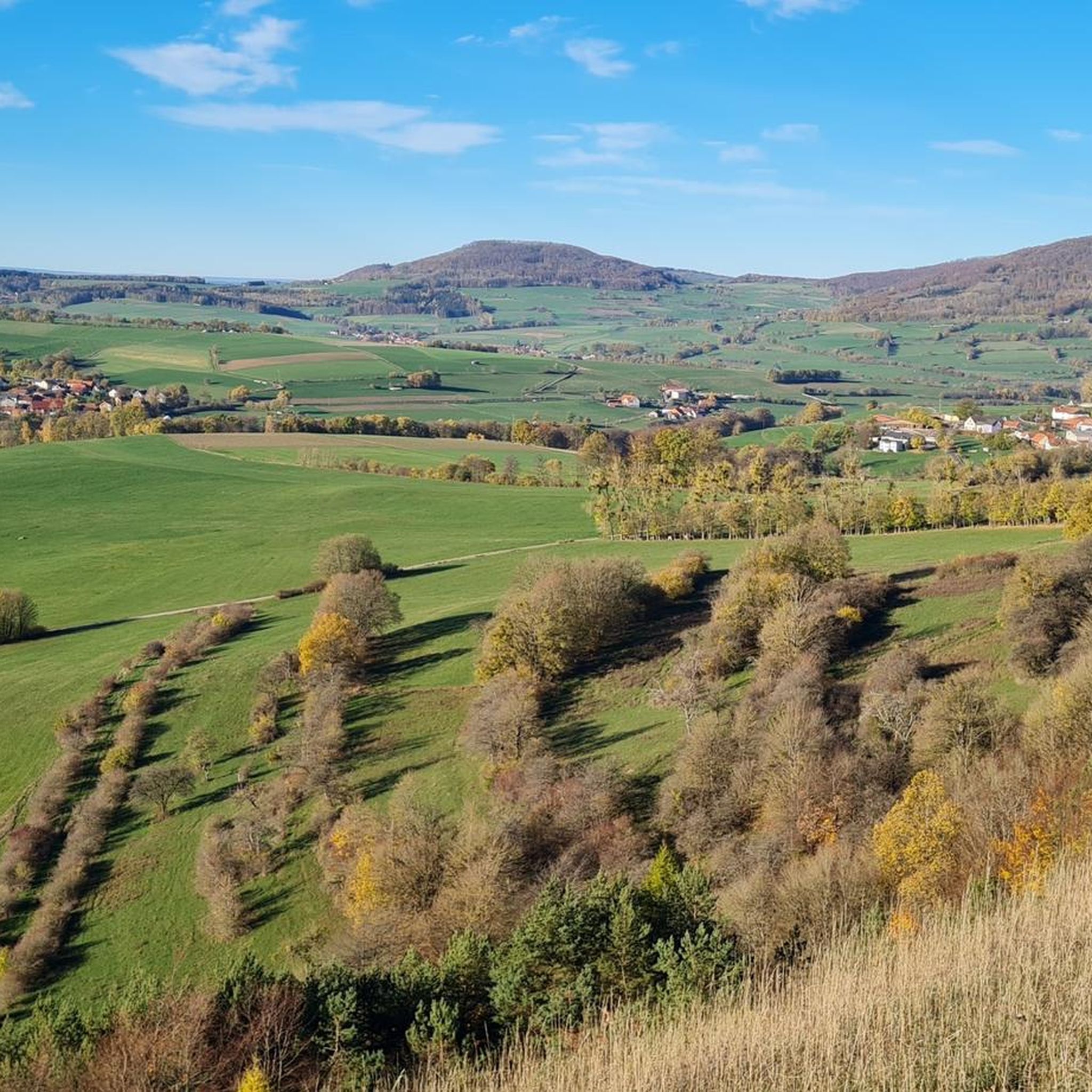
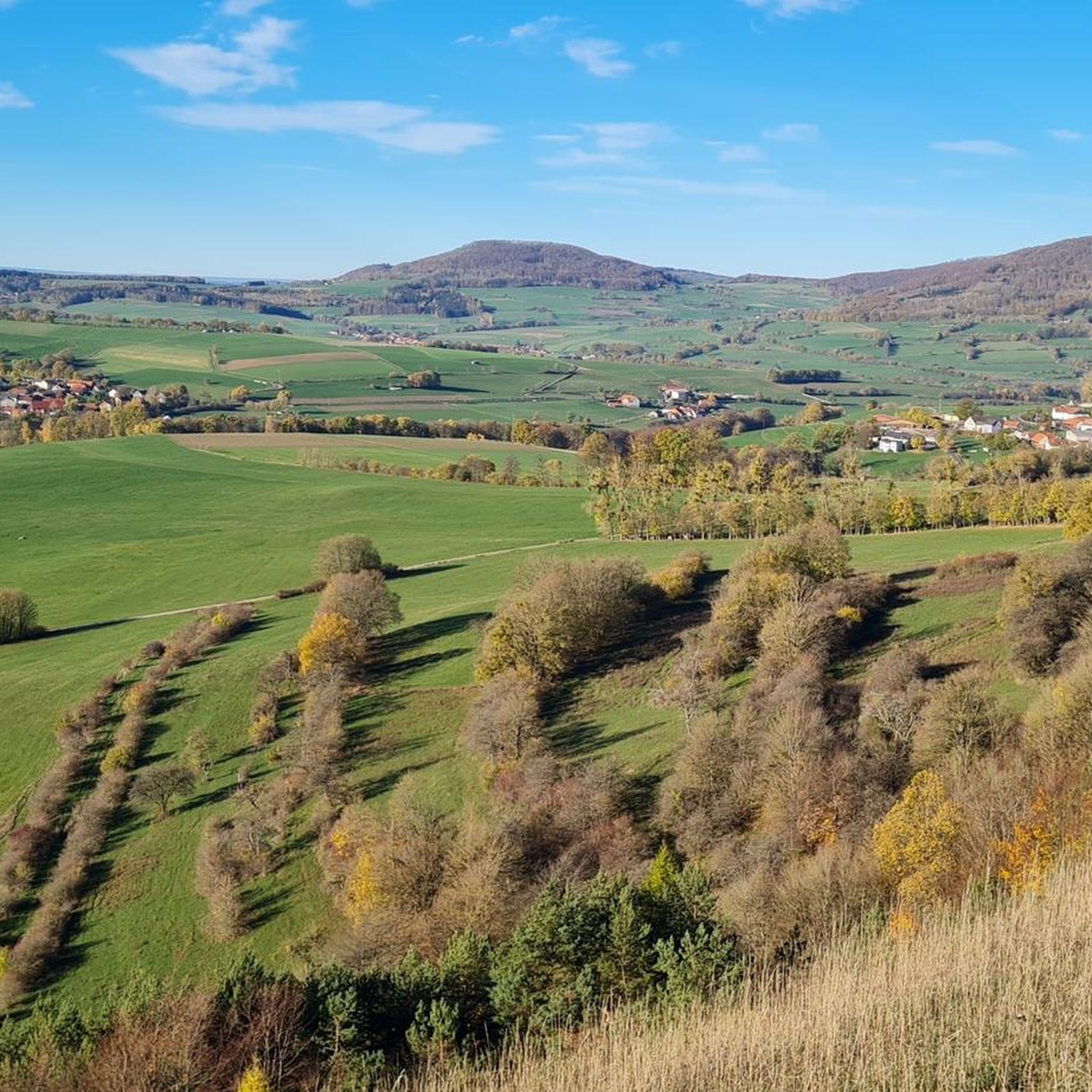
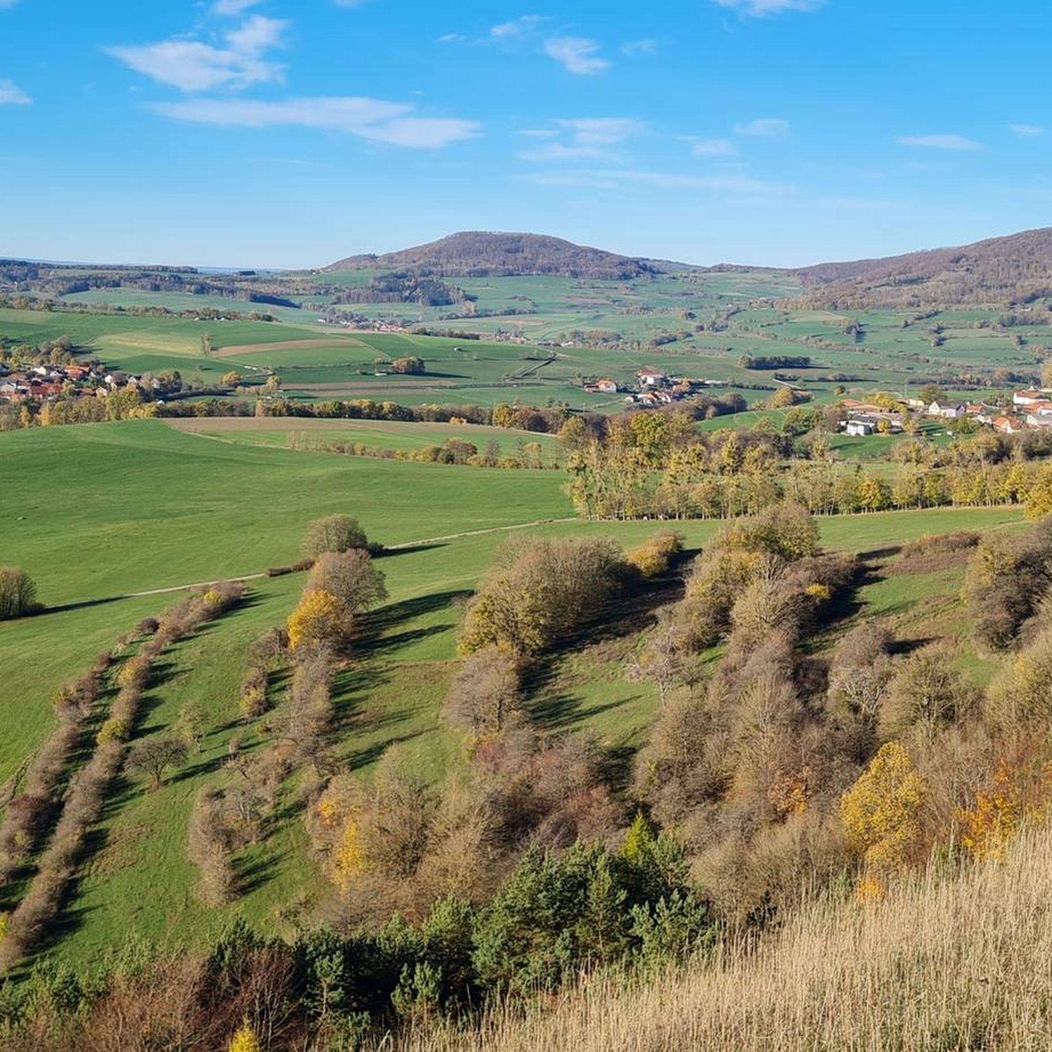
Hiking around Unterweid offers access to the diverse landscapes of the Rhön Biosphere Reserve, characterized by rolling hills, extensive forests, and unique natural features like high moors. The region features basalt and gravel cones, providing varied topography for outdoor activities. Situated in the scenic Weidtal, the area presents views into both the Weidtal and Ulstertal, contributing to its picturesque scenery. This environment supports a rich biodiversity, making it suitable for exploration.
Best hiking trails around Unterweid
- The most popular hiking…
Last updated: July 1, 2026
4.6
(67)
197
hikers
11.7km
03:16
220m
220m
Moderate hike. Good fitness required. Easily-accessible paths. Suitable for all skill levels.
4.7
(23)
67
hikers
26.9km
07:34
550m
540m
Hard hike. Very good fitness required. Easily-accessible paths. Suitable for all skill levels.

Sign up for free
4.8
(10)
44
hikers
9.86km
02:47
210m
210m
Moderate hike. Good fitness required. Easily-accessible paths. Suitable for all skill levels.
4.3
(6)
27
hikers
11.1km
03:06
210m
210m
Moderate hike. Good fitness required. Easily-accessible paths. Suitable for all skill levels.
4.7
(28)
102
hikers
22.5km
06:23
460m
460m
Hard hike. Very good fitness required. Easily-accessible paths. Suitable for all skill levels.
Get access to more routes and recommendations from other explorers.
Sign up for free
Already have an account?
Our route recommendations are based on thousands of hikes, rides, and runs completed by other people on komoot.
Start today with a free account
Your next adventure awaits.
Login or Signup

Tips from the Community

Here is also one of the most beautiful huts far and wide. Superbly made with a panoramic window.
5
0


The "Moor Eye" is a stop on the nature trail. It focuses on the formation of the small lakes in the moor. Along the walkway, 23 information panels provide fascinating insights into the formation of the raised bog and its flora and fauna.
1
0

Great shelter with guest book offers space for 6-8 people for a long rest in the dry including a great view!
1
0

Where can I find stamp 296 (Gläserberg)? Does anyone know any details?
0
0

Even the strongest hiker needs a break sometimes 🥾
3
0

Another nice resting place
1
0
Frequently Asked Questions
How many hiking trails are available around Unterweid?
Unterweid offers a wide variety of hiking opportunities, with over 670 routes available. These range from easy strolls to more challenging treks, catering to different fitness levels.
What kind of terrain and landscapes can I expect when hiking near Unterweid?
Hiking around Unterweid means exploring the diverse landscapes of the Rhön Biosphere Reserve. You'll encounter rolling hills, dense forests, and unique natural features like high moors. The region is characterized by its basalt and gravel cones, offering varied topography and picturesque views into the Weidtal and Ulstertal.
Are there any family-friendly hiking options in Unterweid?
Yes, Unterweid has numerous options suitable for families. Over 320 easy trails are available. A great choice is the Boardwalk Through the Black Moor, a 2-kilometer nature trail that allows you to explore the unique high moor ecosystem without disturbing it, perfect for all ages.
Can I bring my dog on the hiking trails in Unterweid?
Generally, dogs are welcome on the hiking trails around Unterweid. The region's diverse landscapes, from forests to open hills, provide ample space for you and your canine companion to explore. Always ensure your dog is on a leash and that you clean up after them to preserve the natural environment for everyone.
What natural attractions or landmarks can I see while hiking near Unterweid?
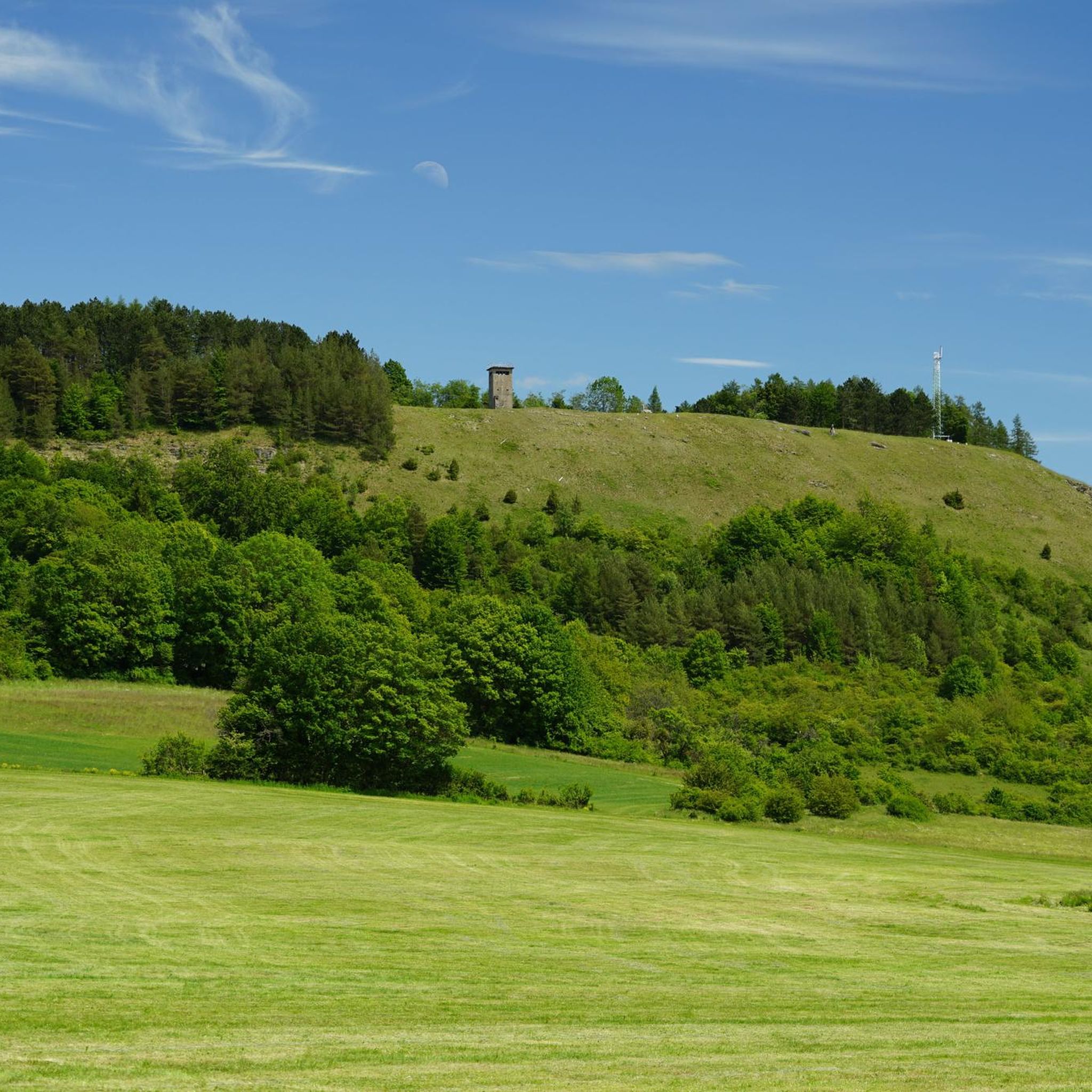
The area boasts several notable natural attractions and landmarks. A must-see is the Schwarzes Moor Nature Trail, the best-preserved high moor in the German low mountain ranges. You can also visit the Noah's Segel Observation Tower on the Ellenbogen for panoramic views, or the historic Grabenberg Border Tower.
Are there circular hiking routes available in Unterweid?
Yes, many of the trails around Unterweid are circular, offering convenient starting and ending points. For example, the Shelter with View of the Rhön – Reichenhausen Shelter loop from Unterweid is a popular moderate route that takes you through local hills and woodlands.
What do other hikers enjoy most about the trails in Unterweid?
The komoot community highly rates the hiking experience in Unterweid, with an average score of 4.6 stars from over 6,200 reviews. Hikers often praise the varied terrain, the stunning views of the Rhön landscape, and the well-maintained paths that lead through forests, rolling hills, and unique natural features like the high moors.
Are there any challenging hikes for experienced trekkers?
Yes, for those seeking a more demanding experience, there are 39 difficult routes available. A challenging option is the Border tower at Horbel – Witch's Linden loop from Unterweid, a 26.9 km path with significant elevation changes that traverses varied terrain, including forested sections and open views.
Where can I find amenities like food and drink along the trails?
The broader Rhön region around Unterweid is well-equipped with hiking huts that provide refreshments and meals. Notable examples include the Gläserberg Summit and Dermbach Hut, the Thuringian Rhön House, and the Rhönbrise Hiking Hut. These serve as popular rest stops and offer panoramic viewpoints.
What is the best time of year to go hiking in Unterweid?
Unterweid offers appealing hiking opportunities throughout the year due to its diverse landscapes. Spring brings blooming flora, while summer provides lush green scenery. Autumn is particularly beautiful with vibrant fall colors, and even winter hiking can be magical, especially in the high moor areas, though conditions may require appropriate gear.
Are there any less crowded hiking trails around Unterweid?
While some routes are popular, the extensive network of over 670 trails means you can often find quieter paths. Exploring some of the less-known circular routes or those slightly further from the main village can lead to a more secluded experience, allowing you to enjoy the Rhön Biosphere Reserve's tranquility.
Is there public transport access to hiking areas near Unterweid?
Unterweid is situated within the Rhön Biosphere Reserve, and while specific public transport links directly to every trailhead might vary, the region generally has bus services connecting villages. It's advisable to check local bus schedules for connections to starting points of trails if you plan to rely on public transport.
Most popular attractions around Unterweid

Get inspired with the komoot mobile app


Explore more
Browse the best Hikes in other regions.
