The best gravel rides around Santo Stefano Di Magra
4.8
(21)
133
riders
9
rides
Gravel biking around Santo Stefano Di Magra offers diverse landscapes within the Liguria region, situated near the confluence of the Vara and Magra rivers. The area features green hills, river valleys, and glimpses of the Ligurian Sea from elevated points. It is part of the Montemarcello-Magra Natural Regional Park, providing varied terrain suitable for gravel bikes. The region's routes include compact dirt roads and segments of historical paths.
Best gravel bike trails around Santo Stefano Di Magra
- The most popular…
Last updated: October 6, 2026
4.9
(11)
52
riders
40.6km
03:04
1,130m
1,130m
Hard gravel ride. Very good fitness required. Mostly paved surfaces. Suitable for all skill levels.
12
riders
88.4km
06:47
1,780m
1,780m
Hard gravel ride. Very good fitness required. Mostly paved surfaces. Suitable for all skill levels.

4.6
(7)
49
riders
Hard gravel ride. Very good fitness required. Mostly paved surfaces. Suitable for all skill levels.
4.7
(3)
12
riders
Moderate gravel ride. Good fitness required. Mostly paved surfaces. Suitable for all skill levels.
9
riders
Moderate gravel ride. Good fitness required. Mostly paved surfaces. Suitable for all skill levels.
Get access to more routes and recommendations from other explorers.
Already have an account?
Our route recommendations are based on thousands of hikes, rides, and runs completed by other people on komoot.
Start today with a free account
Your next adventure awaits.
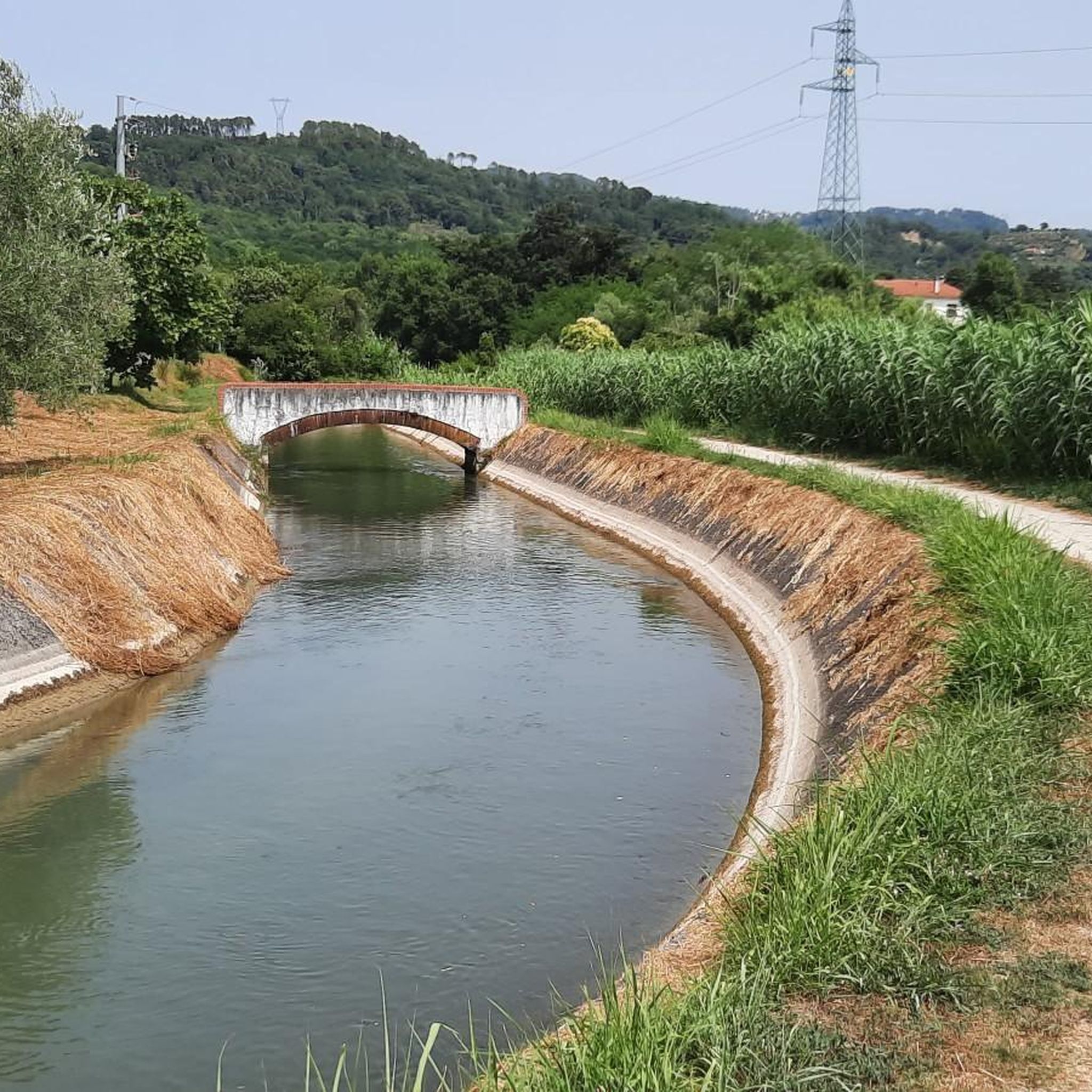
Tips from the Community

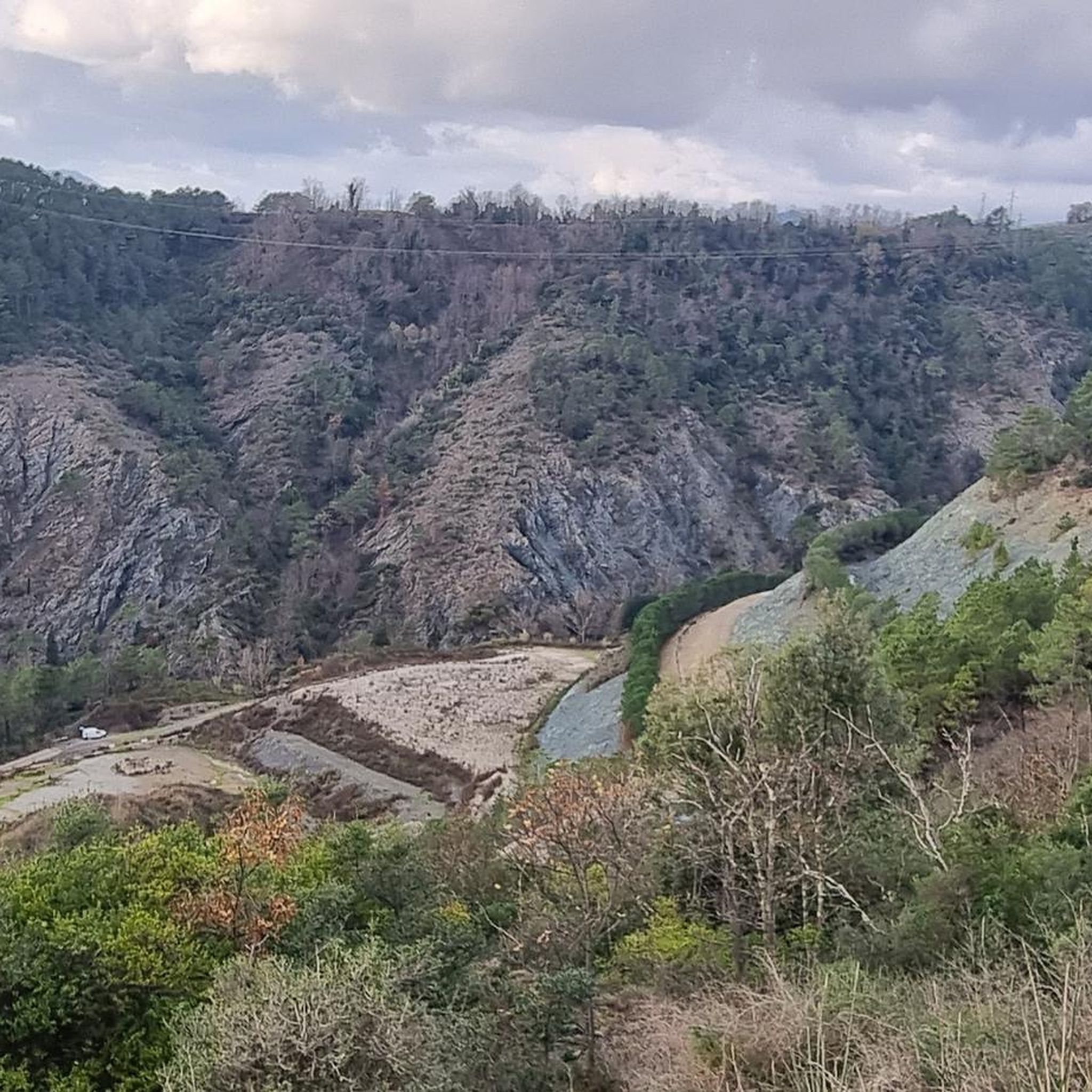
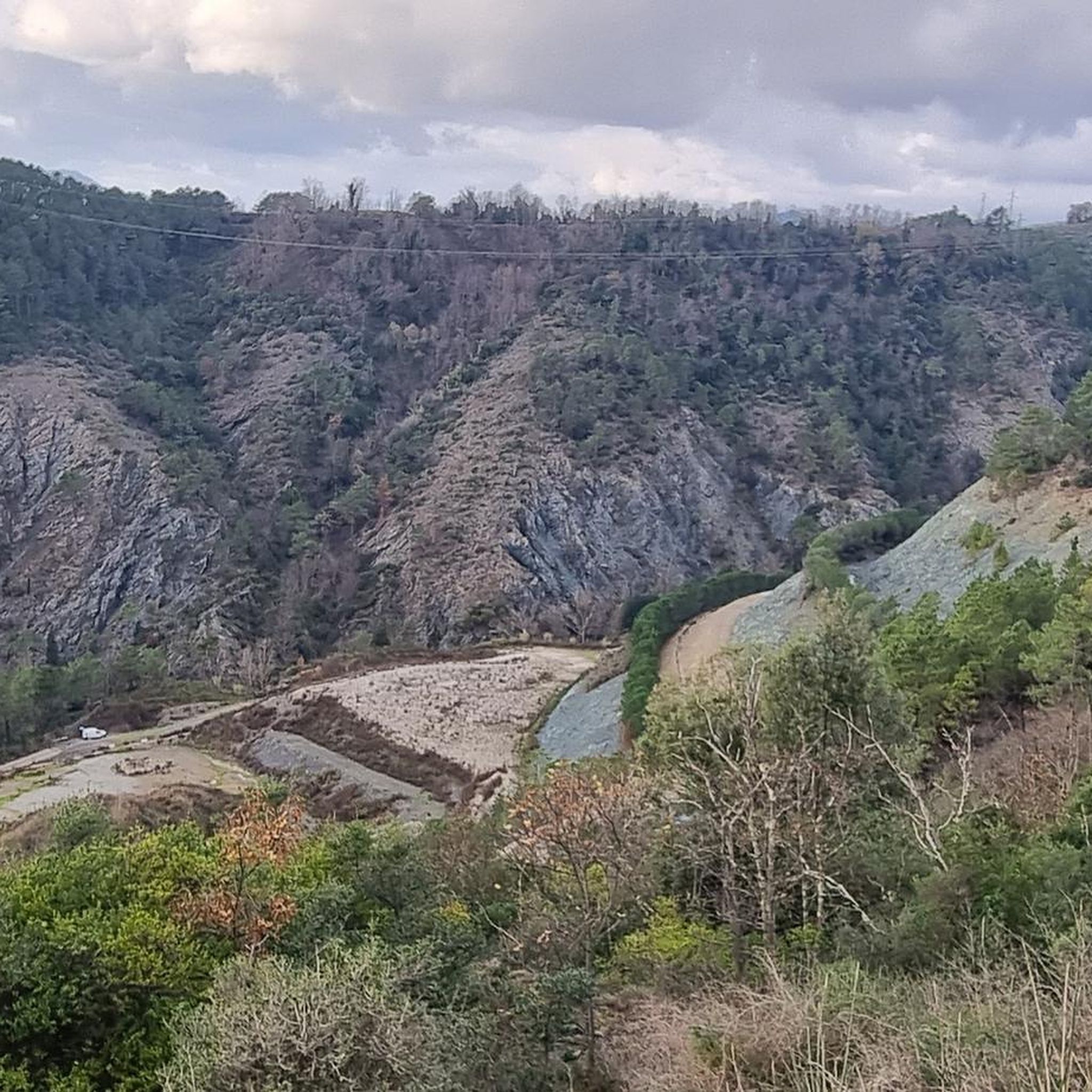
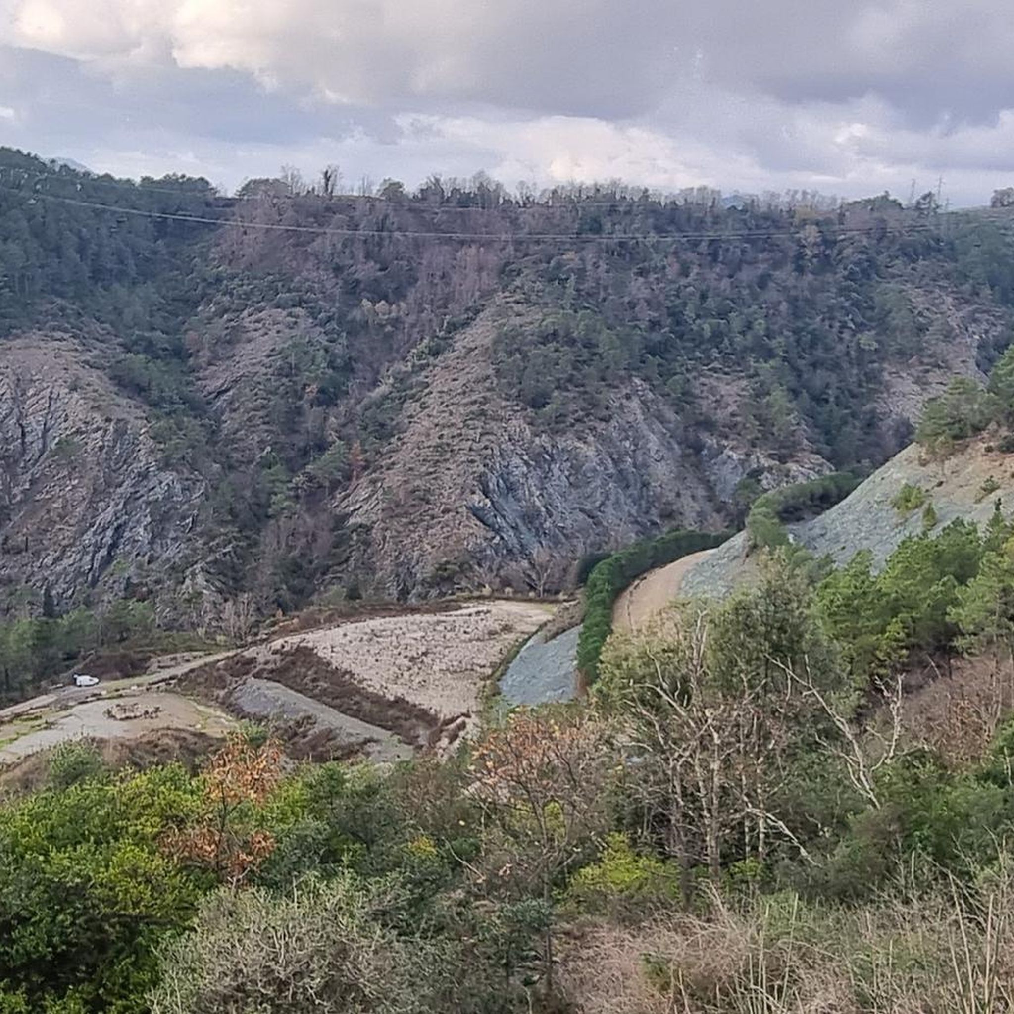
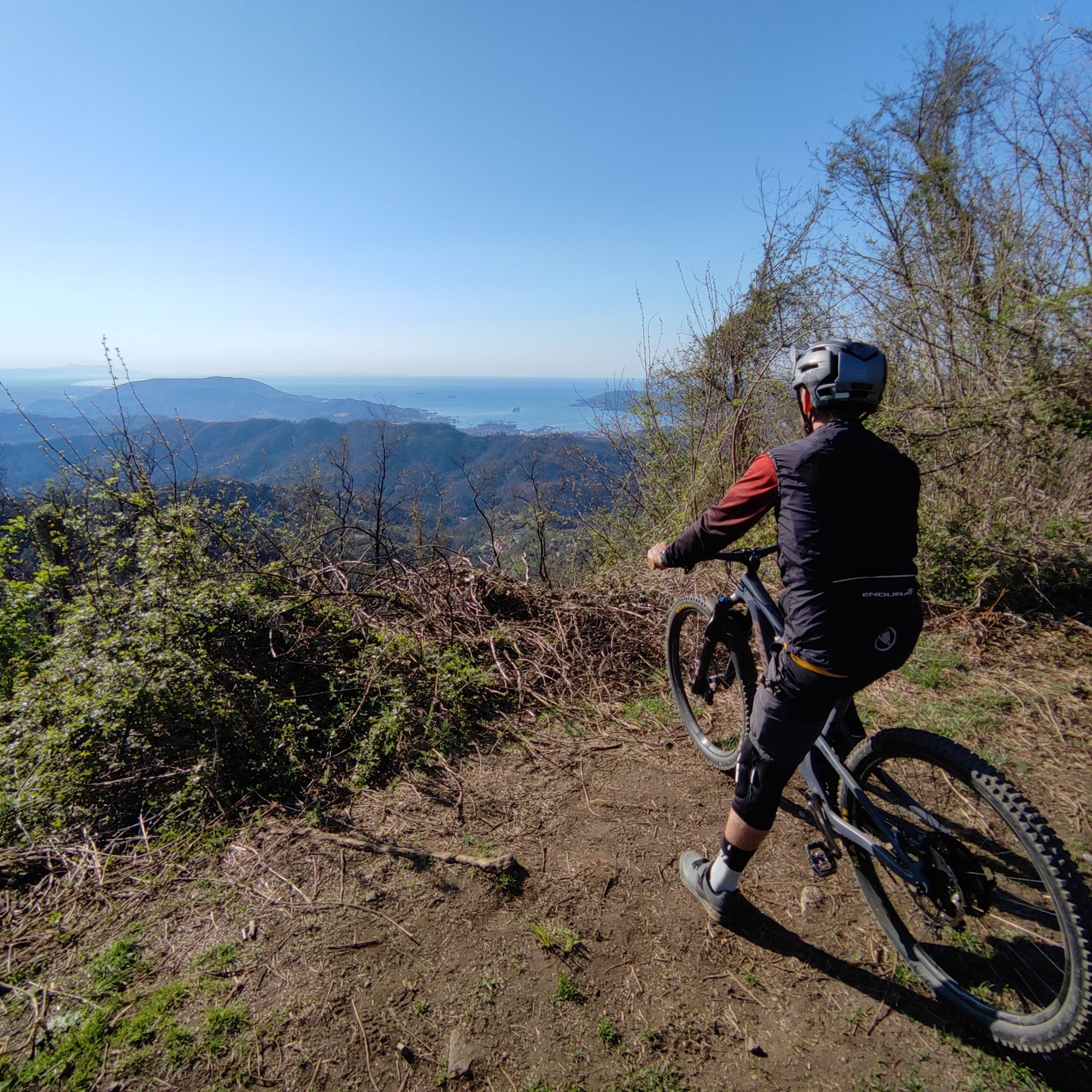
Very nice view in the morning
0
0
Very nice view in the morning
0
0

The city is located at the extreme east of the Liguria region, a few kilometers from the border with Tuscany, in the center of a deep natural gulf to which it gives its name. The gulf, also known as the Gulf of Poets for its beauty, is encircled by a continuous chain of heights whose highest peaks, Monte Verrugoli (749 m above sea level), Monte Parodi (673 m above sea level), Monte Santa Croce (543 m above sea level), and Monte Viseggi (347 m above sea level), located on the western side of the inhabited center, overlook the city of La Spezia. The municipal territory of Spezia is part of the interregional Magra river basin authority, while a small portion of the municipal territory, consisting of the small village of Tramonti and the surrounding hill, falls within the Cinque Terre National Park.
0
0
In Montemarcello, the main panoramic viewpoint is located a few minutes' walk from the center of the village, behind the Relais del Golfo hotel.
0
0
Montemarcello (Montemarzèi in the local dialect) is a hamlet in the Ligurian municipality of Ameglia, in the Magra Valley in the province of La Spezia, about five kilometers from the municipal capital.
0
0
The waterfront of La Spezia, historically known as Passeggiata Costantino Morin, is one of the most famous symbols of the Ligurian city. This splendid pedestrian area develops parallel to Viale Italia and is completely immersed in greenery among majestic palm trees, maritime pines, and oleanders, offering a suggestive panorama of the Gulf of Poets and the Apuan Alps.
0
0
The Port of La Spezia overlooks the eastern Ligurian Sea. It is a natural harbor that offers multiple advantages for maritime and land transport. Thanks to its strategic geographical position, it is one of the most important merchant ports in the Mediterranean and one of the strategic nodes within the TENT-T Core network, the central trans-European transport network, as a core port of the Scandinavia-Mediterranean priority corridor. The Port is an integral part of a vast port cluster that encompasses other important sectors of the maritime economy such as shipbuilding, recreational boating, tourism, and aquaculture, and represents one of the most significant economic entities present in the Ligurian territory.
0
0
Foce del Termine is a mountain pass located at an altitude of 1,008 meters in the territory of the municipality of Zignago (province of La Spezia), along the route of the Alta Via dei Monti Liguri (AVML).
0
0
Frequently Asked Questions
How many gravel bike trails are available around Santo Stefano Di Magra?
There are over 15 gravel bike trails around Santo Stefano Di Magra, offering a variety of experiences. The komoot community has explored these routes more than 250 times, with an average rating of 4.9 stars.
What is the best time of year for gravel biking in Santo Stefano Di Magra?
The Mediterranean climate of Santo Stefano Di Magra makes it suitable for gravel biking for much of the year. Hot, dry summers and mild, wet winters mean spring and autumn generally offer the most pleasant conditions. Even in winter, the mild climate can allow for enjoyable rides, though some routes might be wetter.
Are there any easy gravel bike routes suitable for beginners or families?
While many routes in the area are rated moderate to difficult, the Lunense Canal Cycle Path offers an easier, mostly paved option connecting Santo Stefano di Magra with various attractions. Another suitable route for gravel bikes and e-bikes follows the Magra river, providing a smoother riverside experience. For more challenging rides, consider routes like the Loc. Cambia' Trail Junction – View of Lerici and the Gulf of La Spezia loop from Melara, which is rated difficult but shorter than some of the longer excursions.
What kind of terrain can I expect on gravel bike trails in this region?
Gravel bike trails in Santo Stefano Di Magra feature diverse terrain, including compact and stable dirt roads, segments of historical paths like the Alta Via dei Monti Liguri, and some mostly paved sections. You'll encounter green hills, river valleys, and from elevated points, glimpses of the Ligurian Sea.
Are there any scenic viewpoints or natural attractions along the gravel routes?
Yes, the region offers numerous scenic viewpoints and natural attractions. Elevated points like Ponzano Superiore provide panoramic views. Some routes, such as the Loc. Cambia' Trail Junction – View of Lerici and the Gulf of La Spezia loop from Melara, specifically highlight views of Lerici and the Gulf of La Spezia. The area is also part of the Montemarcello-Magra Natural Regional Park, ensuring preserved natural beauty.
Can I find historical sites or cultural landmarks along the gravel bike trails?
Many routes pass by or near historical and cultural points of interest. The Lunense Canal Cycle Path, for example, allows cyclists to visit sites such as Sarzanello Fortress and the Roman Amphitheatre of Luni. The historic Via Francigena also passes through the area. Other notable landmarks include the 18th-century Church of Santo Stefano and the charming hilltop village of Ponzano Superiore with its own historical church, San Michele Arcangelo.
Are there any circular gravel bike routes available?
Yes, many of the gravel bike routes in the area are designed as loops. Examples include the challenging Roman Amphitheatre of Luni – Ducal Palace of Massa loop from Pulica and the Alta Via dei Monti Liguri – Passo Alpicella (710 m) loop from Arcola, both offering extensive circular journeys through varied landscapes.
What are some notable castles or fortresses I can visit near the trails?
The region is rich in historical fortifications. You can visit Sarzanello Fortress, Firmafede Fortress, Brunella Fortress, and San Giorgio Castle. These historical sites offer a glimpse into the region's past and are often accessible from various cycling routes.
Are there any routes that offer views of the sea or coastal areas?
Yes, due to Santo Stefano di Magra's proximity to the Ligurian Sea, several elevated points and routes offer glimpses of the coast. The View of La Spezia and Its Gulf – View of La Spezia loop from La Spezia Migliarina is a prime example, providing scenic vistas of the Gulf of La Spezia.
What do other gravel bikers enjoy most about gravel biking in Santo Stefano Di Magra?
The area is highly rated by the komoot community, with an average score of 4.9 stars from over 30 reviews. Reviewers often praise the diverse landscapes, ranging from green hills and river valleys to coastal views, and the variety of routes that cater to different fitness levels.
Is it possible to access the gravel trails using public transport?
Santo Stefano di Magra is connected by public transport, which can facilitate access to various starting points for gravel bike routes. While specific bike carriage policies vary, the town's location near major transport links makes it a convenient base for exploring the region by bike.
Where can I find parking if I drive to the trailheads?
Parking is generally available in and around Santo Stefano di Magra, particularly near the town center and at designated access points for popular trails. It's advisable to check local signage for specific parking regulations and availability, especially during peak seasons.
Are there any long-distance gravel routes that incorporate parts of famous trails?
Yes, the region includes segments of well-known routes. For instance, the Alta Via dei Monti Liguri – Passo Alpicella (710 m) loop from Arcola incorporates a segment of the Alta Via dei Monti Liguri, offering a challenging and scenic long-distance experience. The historic Via Francigena also passes through the area, providing another option for extended rides.
Most popular routes around Santo Stefano Di Magra
Most popular attractions around Santo Stefano Di Magra

Get inspired with the komoot mobile app


Explore more
Browse the best Gravel rides in other regions.
