Top 4 Mountain Passes in Jämtland
Best mountain passes in Jämtland offer diverse landscapes in central Sweden, ranging from high-alpine plateaus to scenic routes connecting different regions. This area is characterized by its vast wilderness, mountain ranges, and opportunities for both driving and hiking. Jämtland provides access to unique natural environments, including Sweden's highest public roads and extensive trekking routes.
Best mountain passes in Jämtland
- The most popular mountain pass is Flatruet Pass summit, a mountain pass that is Sweden's highest road at 975 meters…
Last updated: July 9, 2026
Flatruet Pass summit
Highlight • Mountain Pass
Translated by Google •
Tip by

Vildmarksvägen Stekenjokk Plateau
Highlight (Segment) • Mountain Pass
The ascent from the east first leads past various mountains that are more or less circumnavigated. On the pass road after the bridge …
Translated by Google •
Tip by

Sign up now to discover places like this
Get recommendations on the best single tracks, peaks, & plenty of other exciting outdoor places.
Sign up for free
Stekenjokk Road
Highlight • Mountain Pass
Translated by Google •
Tip by

Storlavägen Pass Cycling Route
Highlight (Segment) • Mountain Pass
Translated by Google •
Tip by

Jamtlandsvegen Plateau Route
Highlight (Segment) • Trail
Translated by Google •
Tip by

Start today with a free account
Your next adventure awaits.
Login or Signup
Popular around Jämtland

European Divide Trail — 7,600 km across the continent
Kungsleden South — Frosty glaciers and endless nature
Into The Wild – Going North With JDA
Storulvån-Vålådalen: where the mountains open up
Storulvån to Ljungdalen – hiking Sweden's southernmost mountain range
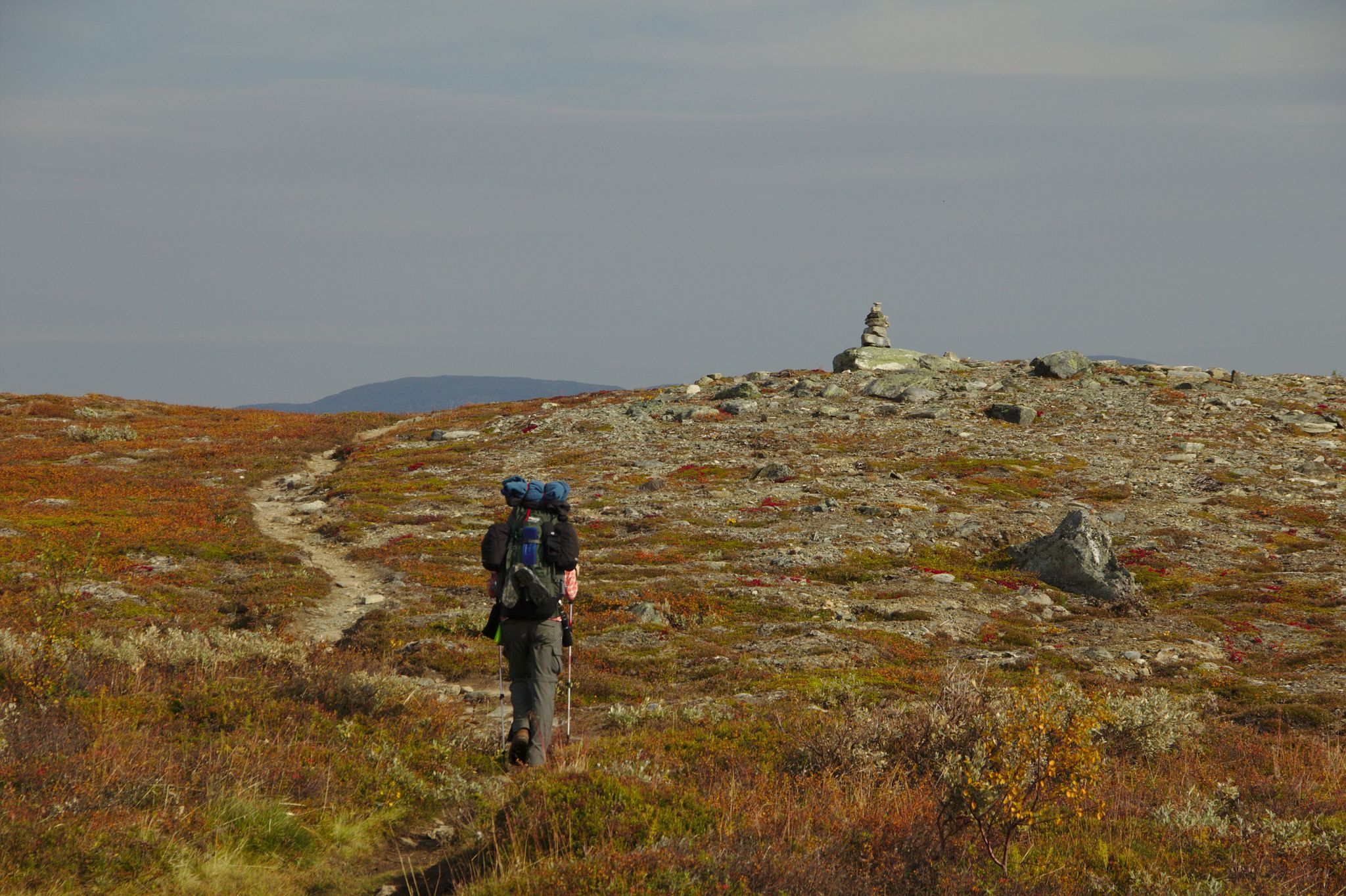
The Vålådalen Trail — A Swedish Hut-to-Hut Classic
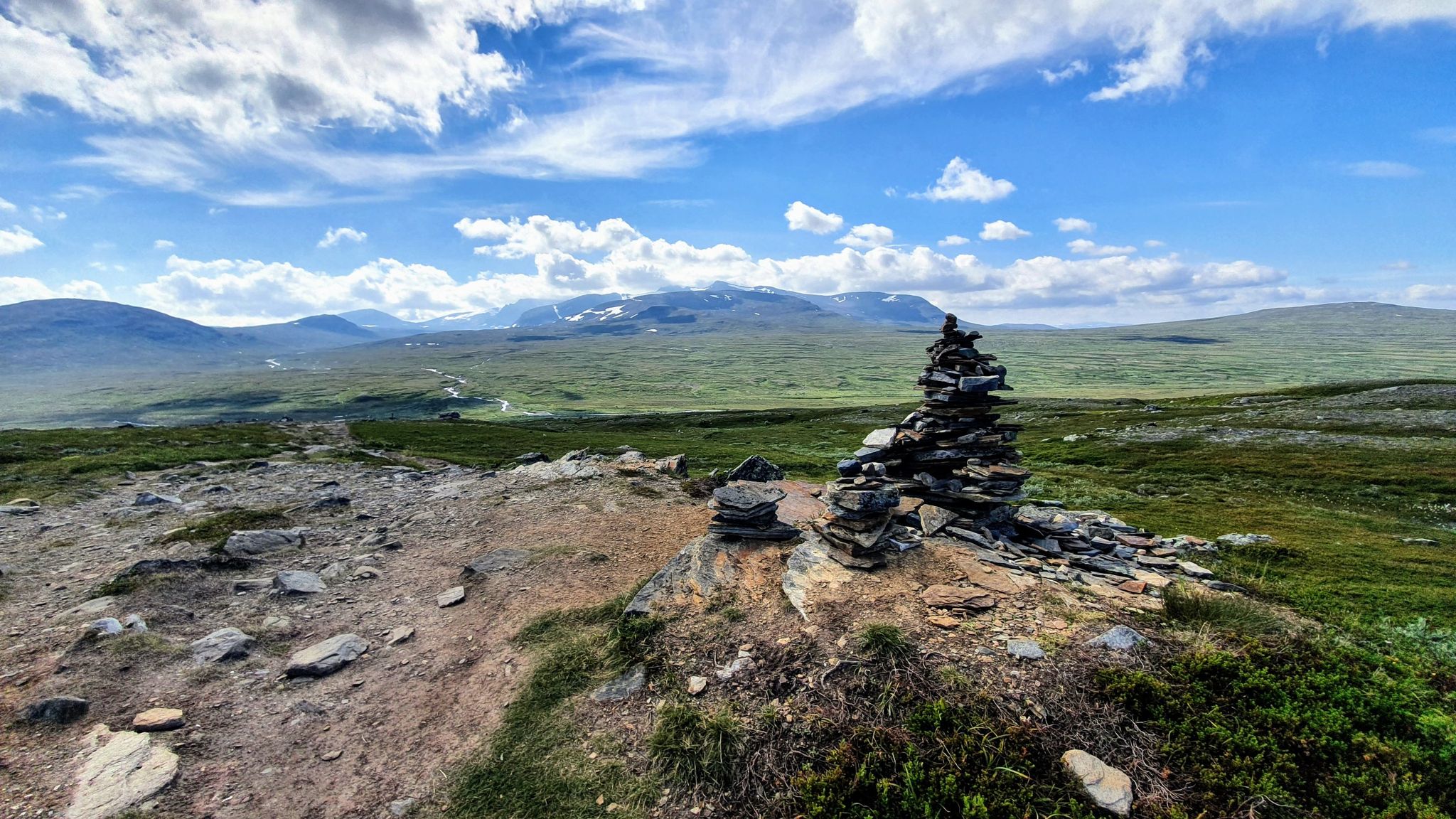
A Scenic Trek Through Swedish Fjälls — The Jämtland Triangle
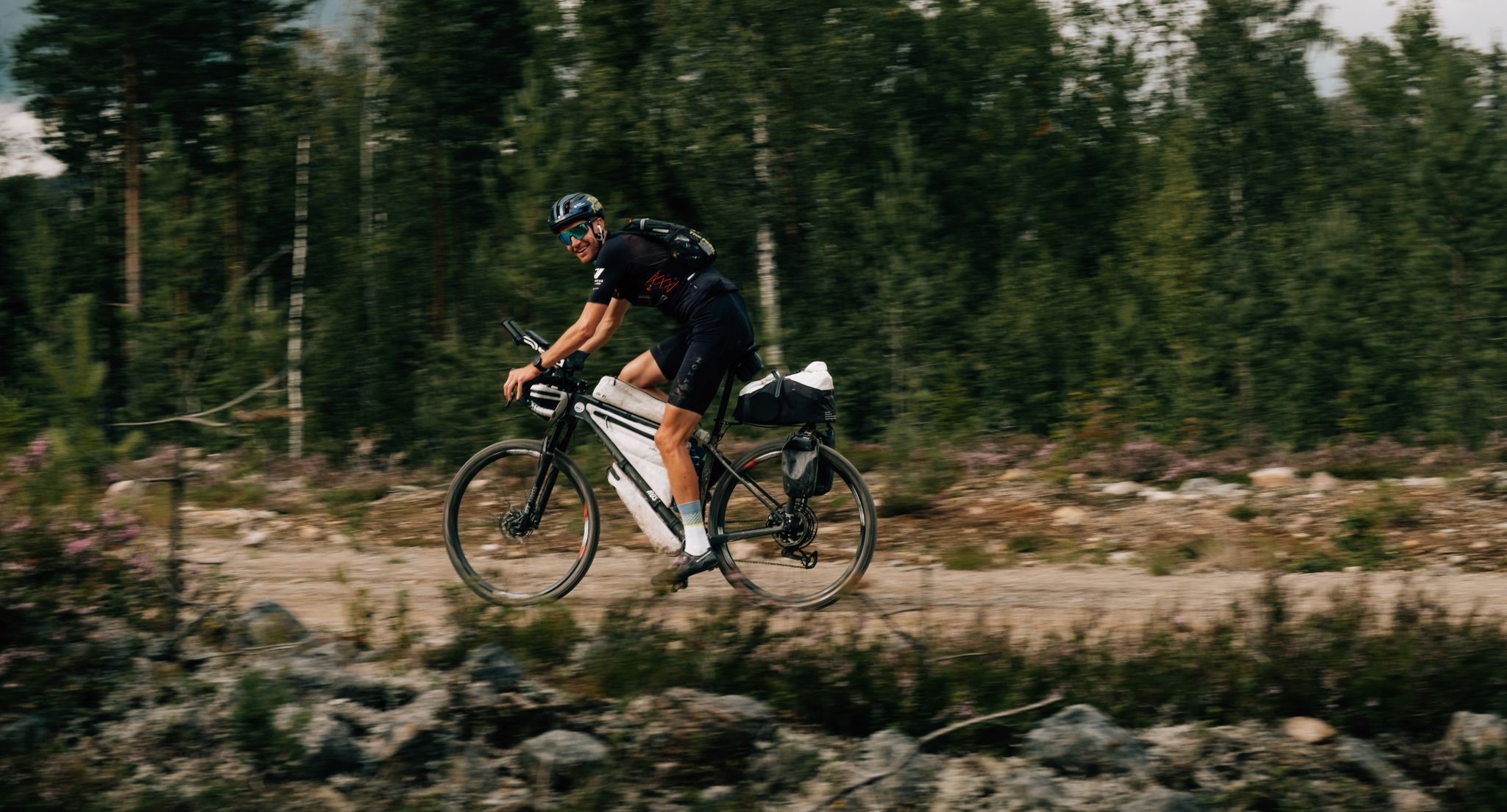
European D̶I̶V̶I̶D̶E̶ Connect Trail Project – a journey across Europe
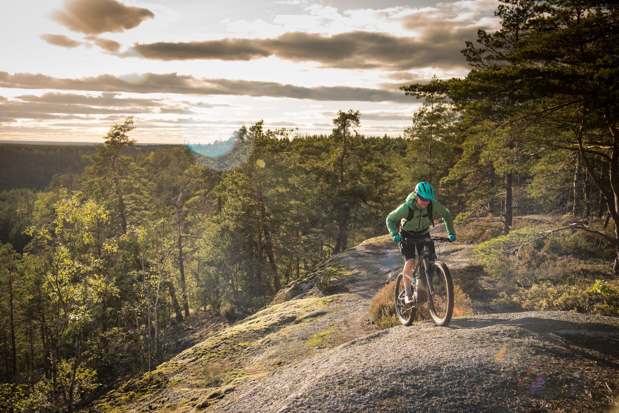
E-biking in Sweden – lonely forests, vast landscapes and insane trails
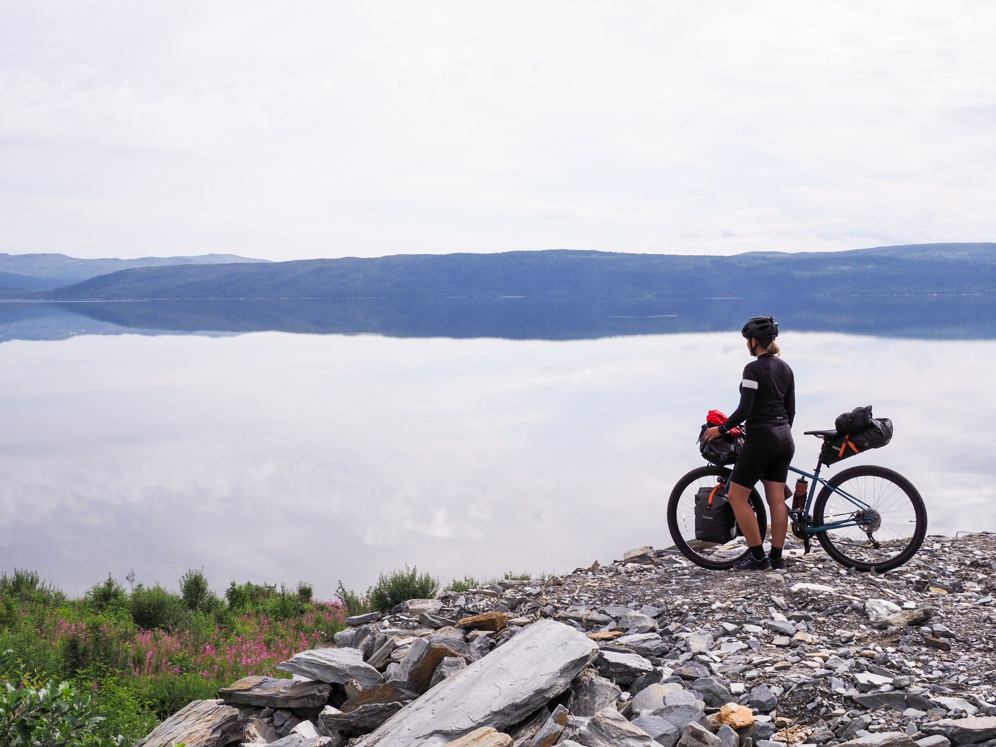
Crisscross through Sweden 🚴🏼
Other adventures in Jämtland


Tips from the Community


A hike into Stekenjokk is a must. From the road, the landscape is only vaguely glimpsed by bike. So dismount briefly and take two hours to immerse yourself.
0
0

A beautiful spot along the highest pass road. It's worth hiking to one of the sides to see the reindeer herds.
0
0

Flatruet – this is the name of Sweden's highest road at 975 metres above sea level and also the name of a barren plateau. The road connects the two small towns of Mittådalen and Ljungdalen in the province of Härjedalen. It was built in 1938 and is a gravel road about 20 km long. There is a large car park at the top of the pass, from which beautiful hiking trails start.
0
0

You can get from Norway's coast over to Sweden via Jamtlandsvegen (Road 72), uphill always past the river Inna, a number of waterfalls up to the high plateau and back down on the Swedish side to the ski resort of Duved. A beautiful route!
0
0

Scenic route. Highlight on the wilderness road
0
0

Here you will find a breathtaking landscape. The ascent from the east first leads past various mountains that are more or less circumnavigated. On the pass road after the bridge over the river you get your first great view of the distant mountains to the north. The actual Stekenjokk is scenically unspectacular. Many caravans are parked here in a parking lot. The highlight is then the section west of it, around the border to Jämtland. You dive deeper and deeper into this barren mountain landscape. Make sure you enjoy the descent into the valley! ;)
0
0

After the pass road has been rebuilt, driving is a pleasure if you pay attention to the sometimes very fast vehicles (buses!). The surrounding landscape is fabulous, towards the mountain hotel it becomes more barren and wild. Also the wind :-). With a bit of luck you can see a hunting snowy owl further up.
1
0
Frequently Asked Questions
Which mountain passes in Jämtland offer the highest elevation experiences?
For the highest elevation, visit Flatruet Pass summit, which is Sweden's highest public road at 975 meters above sea level. Another option is the Stekenjokk Road, part of the Vildmarksvägen, which is the highest drivable road in Sweden and offers dramatic high-mountain landscapes.
What are the best mountain passes for scenic drives in Jämtland?
The Vildmarksvägen Stekenjokk Plateau offers breathtaking, barren mountain landscapes and a particularly enjoyable descent into the valley. Another beautiful route is the Jamtlandsvegen Plateau Route (Road 72), which takes you from the Norwegian coast into Sweden, past the Inna River and numerous waterfalls, up to a high plateau.
Are there good hiking opportunities around Jämtland's mountain passes?
Yes, the Flatruet Pass summit has a large car park from which several scenic hiking trails begin, leading into the expansive, treeless plateau. Additionally, the Jämtland Triangle is a classic multi-day hut-to-hut trek that offers diverse landscapes and an optional ascent to Storsylen, the highest peak in the region.
What is the best time to visit the mountain passes in Jämtland?
Many mountain passes in Jämtland, especially those at higher altitudes like the Stekenjokk Road, are only open seasonally. The Stekenjokk Road is typically open from June 6 to October 15. It's best to visit during the summer months (June to September) for the most accessible conditions and milder weather, though be prepared for extreme weather even then.
What unique natural features can I expect to see at Jämtland's mountain passes?
You can expect to see barren, high-alpine plateaus, dramatic mountain landscapes, and expansive tundra scenery. The Flatruet Pass summit is known for its unique treeless plateau, while the Vildmarksvägen Stekenjokk Plateau offers views of distant northern mountains and powerful natural forces. Along the Jamtlandsvegen Plateau Route, you'll encounter the Inna River and several waterfalls.
Are there cycling routes available on Jämtland's mountain passes?
Yes, the Storlavägen Pass Cycling Route is a rebuilt pass road that offers a pleasant cycling experience with fabulous surrounding landscapes. The Jamtlandsvegen Plateau Route is also suitable for cycling, offering a scenic journey between Norway and Sweden. For more cycling options, explore the Cycling in Jämtland guide.
What kind of weather conditions should I prepare for on Jämtland's mountain passes?
Mountain passes in Jämtland, especially at higher elevations like the Stekenjokk Road, are known for extreme weather conditions. Expect very strong winds, precipitation, and significant snow well into spring. Even during summer, conditions can change rapidly, so always be prepared for cold, wind, and rain.
Can I see wildlife around the mountain passes in Jämtland?
Yes, there are opportunities to spot wildlife. Visitors to the Flatruet Pass summit have reported seeing reindeer herds. On the Storlavägen Pass Cycling Route, with a bit of luck, you might even spot a hunting snowy owl further up.
What other outdoor activities can I do near Jämtland's mountain passes?
Beyond exploring the passes themselves, Jämtland offers a wide range of outdoor activities. You can find numerous waterfall hikes, diverse cycling routes, and challenging MTB trails throughout the region.
Are there any multi-day trekking experiences in the Jämtland mountains?
Yes, the Jämtland Triangle (Jämtlandstriangeln) is a classic and popular multi-day hut-to-hut trek. This 46-47 km route connects three mountain stations (Storulvån, Sylarna, and Blåhammaren) and is suitable for both beginners and experienced hikers, offering diverse landscapes and comfortable overnight stays. You can find more information about the Jämtland Triangle on Wikivoyage.
What are the best viewpoints along Jämtland's mountain passes?
The Vildmarksvägen Stekenjokk Plateau offers a first great view of distant northern mountains on the ascent from the east. The section west of the actual Stekenjokk area is particularly scenic. Along the Jämtland Triangle, notable viewpoints include Blåhammarkläppen for views into Norway and Herrklumpen for views of Lillsylen and Storsylen.
Most popular routes in Jämtland
Most popular attractions in Jämtland

Get inspired with the komoot mobile app


Explore more
See even more epic mountain passes by checking out these guides in Jämtland:
