The best dog-friendly hikes and walks in Naturpark Rieserferner-Ahrn - Parco Naturale Vedrette Di Ries-Aurina
4.5
(35426)
176,833
hikers
77
hikes
Dog friendly hiking trails in Naturpark Rieserferner-Ahrn - Parco Naturale Vedrette Di Ries-Aurina traverse a diverse alpine landscape in South Tyrol, Italy. The region is characterized by glaciated peaks, including over 80 summits exceeding 3,000 meters, and numerous water features such as mountain streams, waterfalls, and lakes like Lake Antholz. Dense mixed coniferous forests and lush alpine pastures define the lower elevations, while rugged rock formations and high-altitude terrain dominate the upper reaches. This varied topography provides a range of…
Last updated: September 28, 2026
4.5
(11)
74
hikers
9.36km
02:27
70m
70m
Wooden boardwalks wind through protected wetlands where carnivorous plants and alpine newts thrive.
4.5
(2)
17
hikers
13.6km
04:11
480m
480m
Historic farm trail through peaceful Antholz Valley with 16th-century farmsteads and alpine hospitality.

4.7
(45)
199
hikers
Moderate hike. Good fitness required. Easily-accessible paths. Suitable for all skill levels.
5.0
(4)
21
hikers
Easy hike. Great for any fitness level. Easily-accessible paths. Suitable for all skill levels.
4.5
(4)
24
hikers
12.2km
04:22
690m
690m
Moderate hike. Good fitness required. Mostly accessible paths. Sure-footedness required.
Get access to more routes and recommendations from other explorers.
Already have an account?
Our route recommendations are based on thousands of hikes, rides, and runs completed by other people on komoot.
Start today with a free account
Your next adventure awaits.
Popular around Naturpark Rieserferner-Ahrn - Parco Naturale Vedrette Di Ries-Aurina
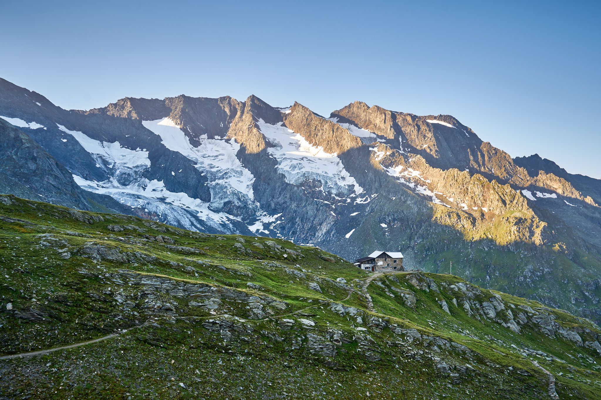
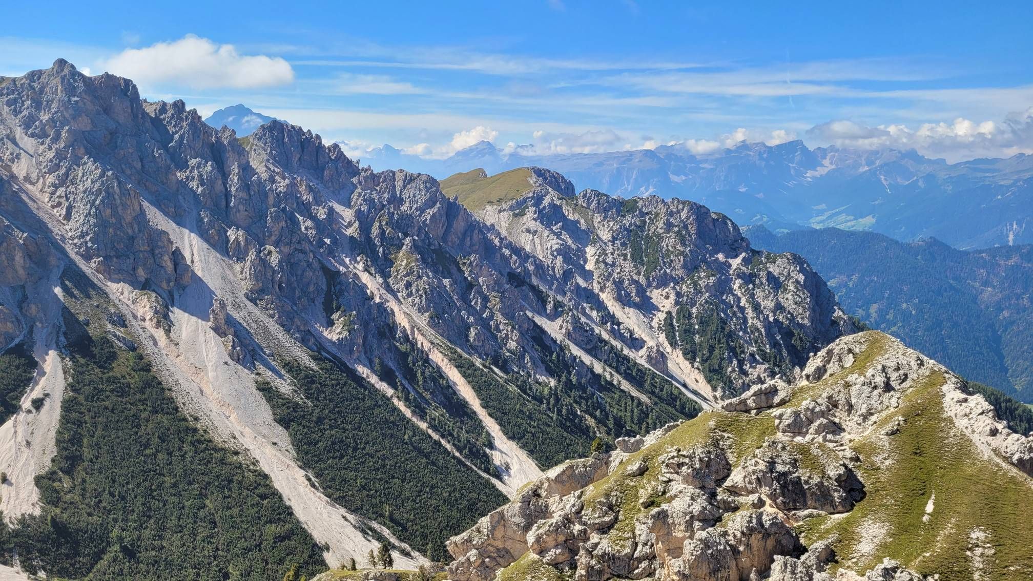

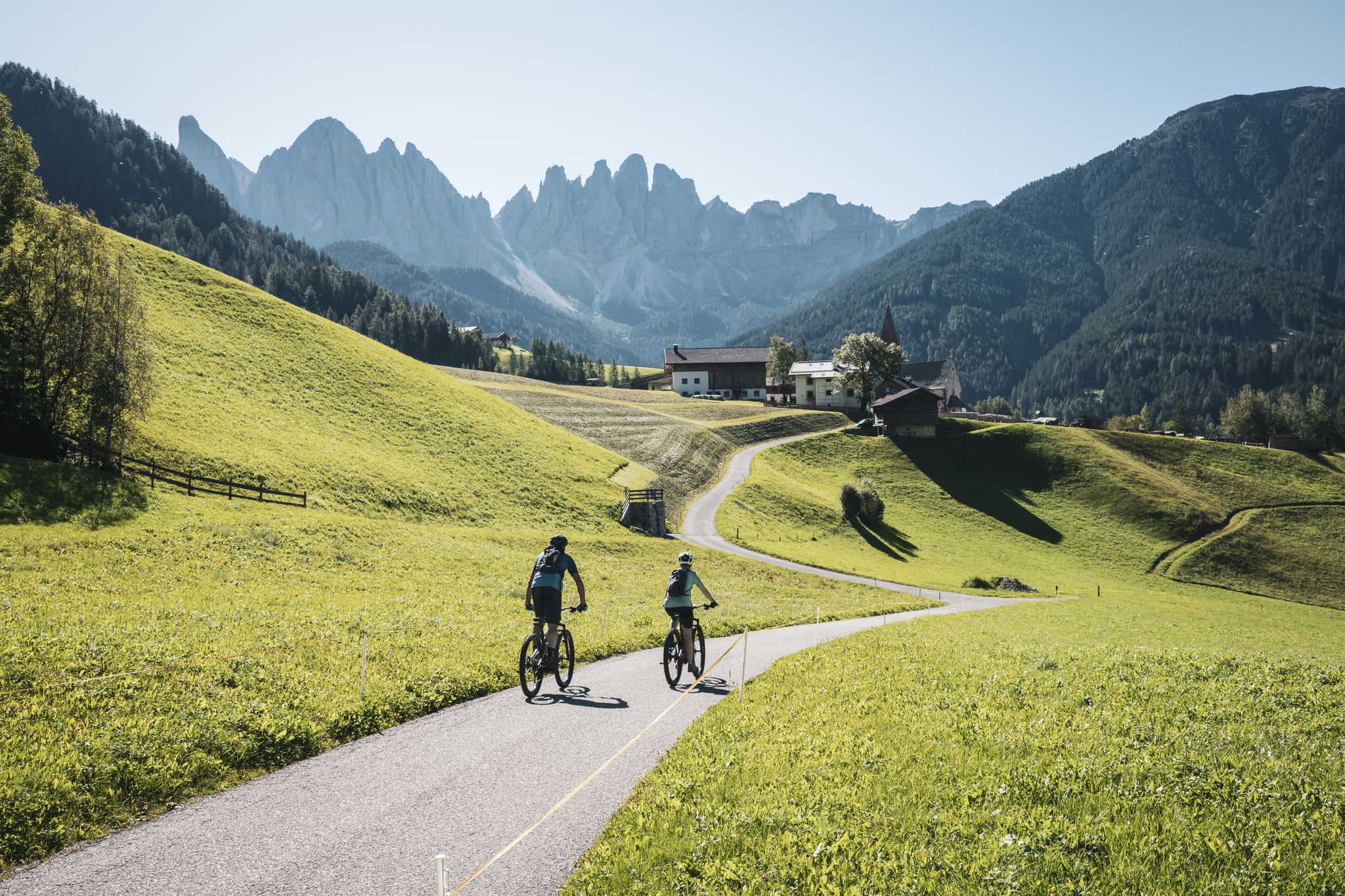
Other adventures in Naturpark Rieserferner-Ahrn - Parco Naturale Vedrette Di Ries-Aurina


Tips from the Community


The Waalweg is the narrow path or trail that runs directly alongside the Waal canal. It was once used by the so-called "Waaler" (the water managers) to monitor, clean, and maintain the canal. They had to ensure that the water flowed unhindered and that all users were supplied evenly. Waalweg trails are very popular with hikers because they are usually almost flat or have only a very slight gradient (the gradient is just steep enough to allow the water to flow, but not so fast that the canal erodes).
2
0
A Waalweg (Waal Trail) is a hiking or walking path that runs along a so-called "Waal" (watercourse). A Waal is an artificially created, open irrigation channel or ditch. These canals were often constructed centuries ago in South Tyrol. Their primary function was to divert water from higher-lying streams, rivers, or lakes and convey it, often over long distances, to lower-lying fields, meadows, and orchards to ensure the survival of agriculture.
2
0
The Waalweg is the narrow path or trail that runs directly alongside the Waal canal. It was once used by the so-called "Waaler" (the water managers) to monitor, clean, and maintain the canal. They had to ensure that the water flowed unhindered and that all users were supplied evenly. Waalweg trails are very popular with hikers because they are usually almost flat or have only a very slight gradient (the gradient is just steep enough to allow the water to flow, but not so fast that the canal erodes).
1
0
A Waalweg (Waal Trail) is a hiking or walking path that runs along a so-called "Waal" (watercourse). A Waal is an artificially created, open irrigation channel or ditch. These canals were often constructed centuries ago in South Tyrol. Their primary function was to divert water from higher-lying streams, rivers, or lakes and convey it, often over long distances, to lower-lying fields, meadows, and orchards to ensure the survival of agriculture.
1
0
The Waalweg is the narrow path or trail that runs directly alongside the Waal canal. It was once used by the so-called "Waaler" (the water managers) to monitor, clean, and maintain the canal. They had to ensure that the water flowed unhindered and that all users were supplied evenly. Waalweg trails are very popular with hikers because they are usually almost flat or have only a very slight gradient (the gradient is just steep enough to allow the water to flow, but not so fast that the canal erodes).
1
0
A Waalweg (Waal Trail) is a hiking or walking path that runs along a so-called "Waal" (watercourse). A Waal is an artificially created, open irrigation channel or ditch. These canals were often constructed centuries ago in South Tyrol. Their primary function was to divert water from higher-lying streams, rivers, or lakes and convey it, often over long distances, to lower-lying fields, meadows, and orchards to ensure the survival of agriculture.
0
0
Frequently Asked Questions
How many dog-friendly hiking trails are available in Naturpark Rieserferner-Ahrn?
There are over 80 dog-friendly hiking trails in Naturpark Rieserferner-Ahrn, ranging from easy strolls to challenging alpine routes. This guide features a selection of these, ensuring a suitable option for every dog and owner.
What kind of terrain can I expect on dog-friendly trails in the park?
The park offers diverse terrain, from gentle paths through dense mixed coniferous forests and lush alpine pastures to more rugged trails leading to glaciated peaks and dramatic rock formations. You'll find well-maintained paths, but also rocky sections, especially at higher altitudes. Always check the route details for specific terrain information.
Are there easy dog-friendly options suitable for beginners or older dogs?
Yes, the park features 22 easy dog-friendly routes. These often follow gentler gradients through valleys or around lakes, providing a pleasant experience for less experienced hikers or older dogs. An example is the Sunnsweg Trailhead Parking – Untere Egger Waterfalls loop, which is an easy option.
Are there any specific rules or etiquette for hiking with dogs in Naturpark Rieserferner-Ahrn?
When hiking with your dog in Naturpark Rieserferner-Ahrn, it's crucial to keep them on a leash, especially in areas with grazing animals or near wildlife. Always carry waste bags and dispose of them properly. Respect local flora and fauna, and ensure your dog doesn't disturb other hikers or animals.
What is the best time of year to hike with my dog in the park?
The best time for dog-friendly hiking is typically from late spring to early autumn (May to October). During these months, trails are generally free of snow, and the weather is more stable. Summer offers lush landscapes, while autumn provides stunning fall colors. Always check local weather conditions before heading out.
Can I hike with my dog to see waterfalls in the park?
Absolutely! The park is known for its abundant water features. You can explore trails that lead to beautiful waterfalls, such as the First Reinbach Waterfall. The Untere Egger Waterfalls loop offers views of the Anterselva Valley and its cascades.
Are there dog-friendly trails around any of the beautiful lakes?
Yes, the park boasts several stunning lakes. A popular and easy option is the circular trail around Lake Anterselva – Antholzer See, which is the third-largest natural lake in South Tyrol. The Lakeside Trail around Lake Anterselva is a highlight for many visitors and their dogs.
Are there any unique natural formations I can visit with my dog?
Yes, you can visit the fascinating Platten Earth Pyramids. These natural formations are a unique geological sight and are accessible via a family-friendly hike, making them a great destination for you and your canine companion.
Are there any circular dog-friendly routes available?
Many trails in Naturpark Rieserferner-Ahrn are designed as circular routes, allowing you to start and end at the same point without retracing your steps. For example, the Rasner Möser Biotope Nature Trail is a moderate circular hike that offers diverse scenery.
What are the parking options for dog-friendly trailheads?
Parking is generally available at the starting points of many trails throughout the park. Specific parking areas are often signposted near popular trailheads. It's advisable to check the route details on komoot for information on parking availability for individual tours.
Is public transport an option for reaching dog-friendly trailheads?
Public transport services, including buses, operate within the region and can provide access to various trailheads. Dogs are generally permitted on public transport, often requiring a muzzle and a small fee. Check local bus schedules and regulations for specific routes like those leading to Lake Antholz or the Riva Waterfalls.
What do other hikers enjoy most about hiking in Naturpark Rieserferner-Ahrn with their dogs?
The area is highly rated by the komoot community, with an average score of 4.7 stars. Reviewers often praise the quiet, untouched nature, the breathtaking alpine scenery, and the well-maintained paths that make for an enjoyable experience with their dogs. The abundance of water features and diverse landscapes are frequently highlighted.
Most popular routes in Naturpark Rieserferner-Ahrn - Parco Naturale Vedrette Di Ries-Aurina
Most popular attractions in Naturpark Rieserferner-Ahrn - Parco Naturale Vedrette Di Ries-Aurina

Get inspired with the komoot mobile app


Explore more
Browse the best Hikes in other regions.
