The best hikes from bus stations in Naturpark Rieserferner-Ahrn - Parco Naturale Vedrette Di Ries-Aurina
4.6
(34008)
171,413
hikers
45
hikes
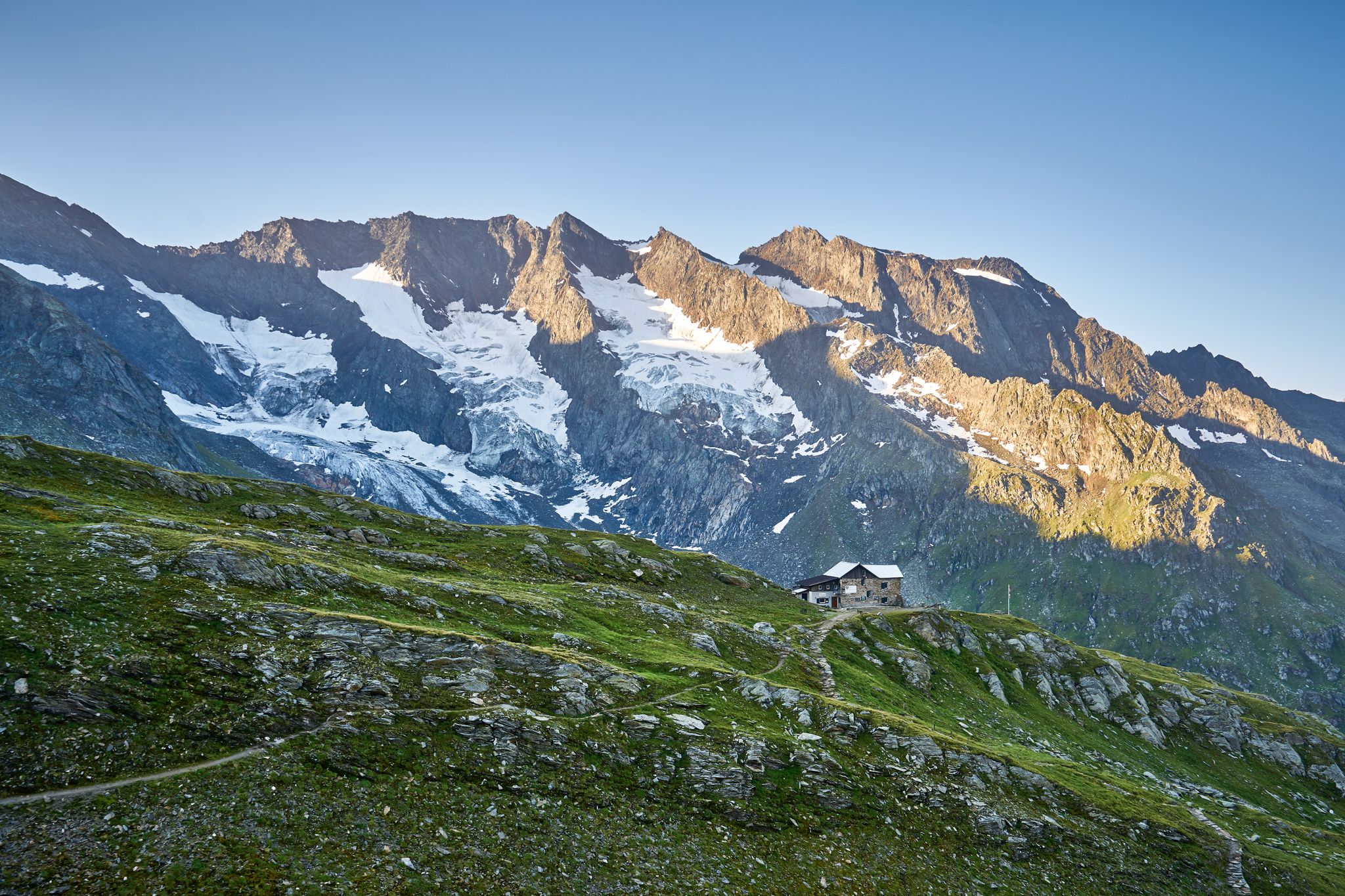
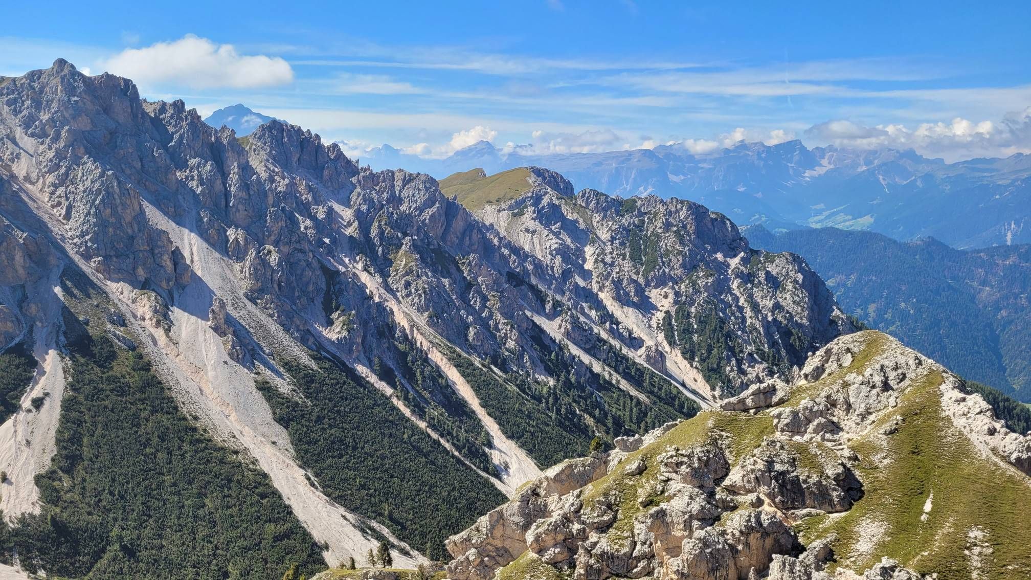
Bus station hiking trails in Naturpark Rieserferner-Ahrn - Parco Naturale Vedrette Di Ries-Aurina traverse a landscape defined by high mountains, glaciers, and numerous mountain lakes. The region features jagged peaks, dense spruce and Swiss pine forests at lower elevations, and alpine pastures above the tree line. Moraines and scree dumps are present, alongside unique geological formations and earth pyramids.
Best bus station hiking trails in Naturpark Rieserferner-Ahrn - Parco Naturale Vedrette Di Ries-Aurina
- The most popular bus station hiking route…
Last updated: August 18, 2026
4.8
(383)
1,798
hikers
Hard hike. Very good fitness required. Mostly accessible paths. Sure-footedness required.
4.9
(357)
1,246
hikers
Hard hike. Very good fitness required. Mostly accessible paths. Sure-footedness required.

Sign up for free
4.8
(127)
492
hikers
Moderate hike. Good fitness required. Easily-accessible paths. Suitable for all skill levels.
4.7
(50)
240
hikers
Moderate hike. Good fitness required. Mostly accessible paths. Sure-footedness required.
4.8
(197)
826
hikers
Hard hike. Very good fitness required. Mostly accessible paths. Sure-footedness required.
Get access to more routes and recommendations from other explorers.
Sign up for free
Already have an account?
Our route recommendations are based on thousands of hikes, rides, and runs completed by other people on komoot.
Start today with a free account
Your next adventure awaits.
Login or Signup
Popular around Naturpark Rieserferner-Ahrn - Parco Naturale Vedrette Di Ries-Aurina

Other adventures in Naturpark Rieserferner-Ahrn - Parco Naturale Vedrette Di Ries-Aurina


Tips from the Community

You can walk around the lake on a path approximately 3.5 km long, with about 90m of elevation gain. During the hike, you repeatedly have a great view of the lake with its magnificent colors.
1
0
On the north bank, you can walk along the lake on a boardwalk, beautifully integrated into the shore landscape.
1
0
You can walk around the lake on a path approximately 3.5 km long, with about 90m of elevation gain. During the hike, you repeatedly get a great view of the lake with its wonderful colors.
1
0

Church of Saint Wolfgang
0
0

Our circular hike starts at the 🅿️ Earth Pyramids Adventure Trail in Percha and immediately leads us along the well-maintained path to the fascinating earth pyramids. Along the way, there are exciting experience stations (e.g., on the Pyramid Trail) that make this first section particularly varied.
1
0
The wooden plank walkways were laid across marshland on the northern shore of the lake to protect the fragile natural environment. They offer spectacular views of the lake and the surrounding mountains of the Rieserferner Group. The plank walkways are part of the 3.4 to 3.5-kilometer circular trail, which provides information about the local flora and fauna, as well as the formation of the lake, via information panels.
3
1
The lake's water shimmers in impressive turquoise-green hues. With a surface area of approximately 44 hectares, it is the third-largest natural lake in South Tyrol. It has a maximum depth of 38 meters. It probably formed at the end of the last Ice Age by a natural landslide or rockslide that blocked the valley and dammed the water. Due to its altitude and low water temperature (below 17°C year-round), it is not a bathing lake, but a typical cold mountain lake. A lovely path, partly on wooden boardwalks, leads us around the lake.
1
0
Frequently Asked Questions
How many bus station hiking trails are available in Naturpark Rieserferner-Ahrn - Parco Naturale Vedrette Di Ries-Aurina?
There are over 40 hiking trails accessible directly from bus stations in Naturpark Rieserferner-Ahrn - Parco Naturale Vedrette Di Ries-Aurina. These routes offer a diverse range of experiences, from easy strolls to challenging alpine treks, ensuring there's something for every hiker.
Are there easy or family-friendly bus accessible hikes in the park?
Yes, the park offers 13 easy and 13 moderate bus accessible routes, many of which are suitable for families. For a scenic and relatively easy option, consider the View of the Lake and Mountains – View of Lake Anterselva loop from Antholz Obertal - Anterselva di Sopra, which provides beautiful lake views and is accessible by bus.
What kind of natural features can I expect to see on bus accessible trails?
Naturpark Rieserferner-Ahrn is renowned for its water-rich environment, featuring numerous glaciers, mountain brooks, and impressive waterfalls. You can also discover stunning mountain lakes like Lake Anterselva – Antholzer See, and unique geological formations such as the Platten Earth Pyramids. Many trails offer panoramic views of the high mountains and rugged peaks of the Vedrette di Ries Group.
Are there any circular walks that start and end at a bus stop?
Yes, many of the bus accessible trails are circular, allowing you to return to your starting point without needing additional transport. An example is the Platten Earth Pyramids – View of the Puster Valley loop from Oberwielenbach - Vila di Sopra, which offers a moderate circular route with captivating views.
Can I find trails that feature waterfalls accessible by bus?
Absolutely. The park is home to several fascinating waterfalls. You can explore routes that lead to the impressive First Reinbach Waterfall. A challenging option is the Ternerbach Waterfall – Kasseler Hut / Rifugio Roma loop from Reintal - Valle di Riva, which includes a waterfall and a mountain hut.
What do other hikers enjoy most about hiking in Naturpark Rieserferner-Ahrn - Parco Naturale Vedrette Di Ries-Aurina?
The area is highly rated by the komoot community, with an average score of 4.57 stars from over 29,000 ratings. Reviewers often praise the stunning natural beauty, the abundance of water features like lakes and waterfalls, and the well-maintained trails that cater to various difficulty levels, all while being conveniently accessible by public transport.
Are there mountain huts or places to rest along bus accessible routes?
Yes, several bus accessible routes pass by or lead to mountain huts, providing excellent opportunities for a break, refreshments, or even an overnight stay. Notable huts include the Kasseler Hut / Rifugio Roma and Rieserferner Hut (Rifugio Vedrette di Ries), among others like Gönner Alm and Knuttenalm.
What is the best time of year to hike these bus accessible trails?
The best time for hiking in Naturpark Rieserferner-Ahrn is generally from late spring to early autumn (May to October). During these months, the weather is more stable, trails are clear of snow at lower elevations, and the alpine pastures are in full bloom. Always check local weather conditions before heading out, especially for higher altitude routes.
Are there any challenging bus accessible hikes for experienced hikers?
Yes, for experienced hikers seeking a challenge, there are 18 difficult bus accessible routes. An example is the View of the Lake and Mountains – View of Lake Anterselva loop from Antholz Biathlon Center, which covers over 15 km with significant elevation gain, offering rewarding views of the lake and surrounding mountains.
Can I reach high mountain lakes via public transport and hiking?
Yes, the region's excellent public transport network allows access to trailheads leading to stunning high mountain lakes. For instance, you can take a bus to the starting point for the Obersee at the Staller Saddle – View of Oberseehütte loop from Antholzer See - Lago di Anterselva, which takes you to the beautiful Obersee.
Are there any specific natural monuments to look out for on these trails?
Beyond the general natural beauty, the park features several designated natural monuments. Keep an eye out for the unique Platten Earth Pyramids, formed by erosion, and the serene Lake Anterselva – Antholzer See, which also has an interactive nature trail around its shores.
Most popular routes in Naturpark Rieserferner-Ahrn - Parco Naturale Vedrette Di Ries-Aurina
Most popular attractions in Naturpark Rieserferner-Ahrn - Parco Naturale Vedrette Di Ries-Aurina

Get inspired with the komoot mobile app


Explore more
Browse the best Hikes in other regions.
