The best mountain hikes around Gais
4.8
(133)
1,554
hikers
72
hikes
Mountaineering around Gais, nestled in the Appenzell region, offers access to diverse alpine terrain. The area provides views of the Alpstein Massif, characterized by limestone peaks, alpine meadows, and steep valleys. While Gais itself features accessible peaks like Gabris, the broader region presents challenging ascents and varied landscapes suitable for mountaineering. The terrain includes a mix of demanding climbs and high-altitude paths.
Best mountaineering routes around Gais
- The most popular mountaineering route is Große Windschar – Huber Alm loop from…
Last updated: September 27, 2026
5.0
(4)
68
hikers
15.3km
08:36
1,360m
1,360m
Hard mountaineering route. Very good fitness required. Sure-footedness, sturdy shoes and alpine experience required.
4.5
(6)
62
hikers
13.9km
07:31
1,330m
1,330m
Hard mountaineering route. Very good fitness required. Sure-footedness, sturdy shoes and alpine experience required.

4.0
(1)
47
hikers
15.3km
07:24
1,040m
1,050m
Hard mountaineering route. Very good fitness required. Sure-footedness, sturdy shoes and alpine experience required.
5.0
(3)
24
hikers
11.5km
05:10
910m
910m
Hard mountaineering route. Very good fitness required. Mostly accessible paths. Sure-footedness required.
5.0
(2)
28
hikers
14.1km
07:30
1,060m
1,060m
Hard mountaineering route. Very good fitness required. Sure-footedness, sturdy shoes and alpine experience required.
Get access to more routes and recommendations from other explorers.
Already have an account?
Our route recommendations are based on thousands of hikes, rides, and runs completed by other people on komoot.
Start today with a free account
Your next adventure awaits.
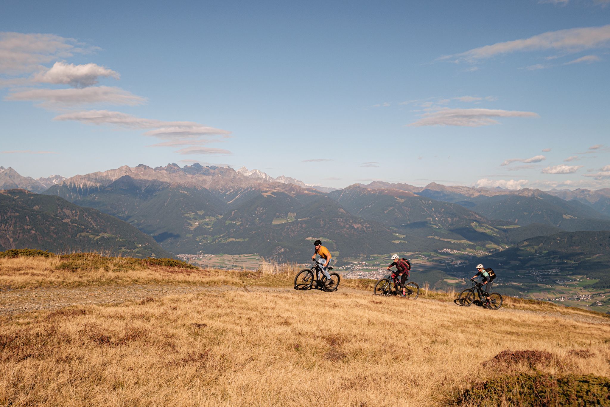
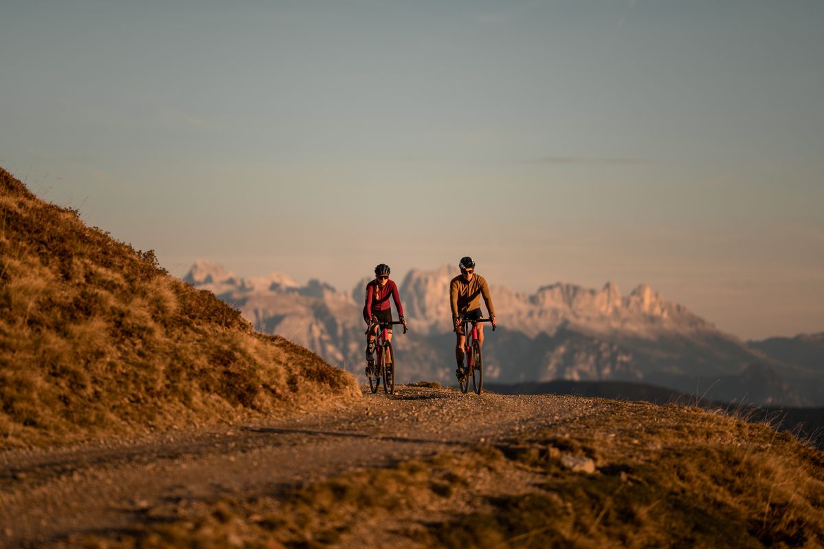
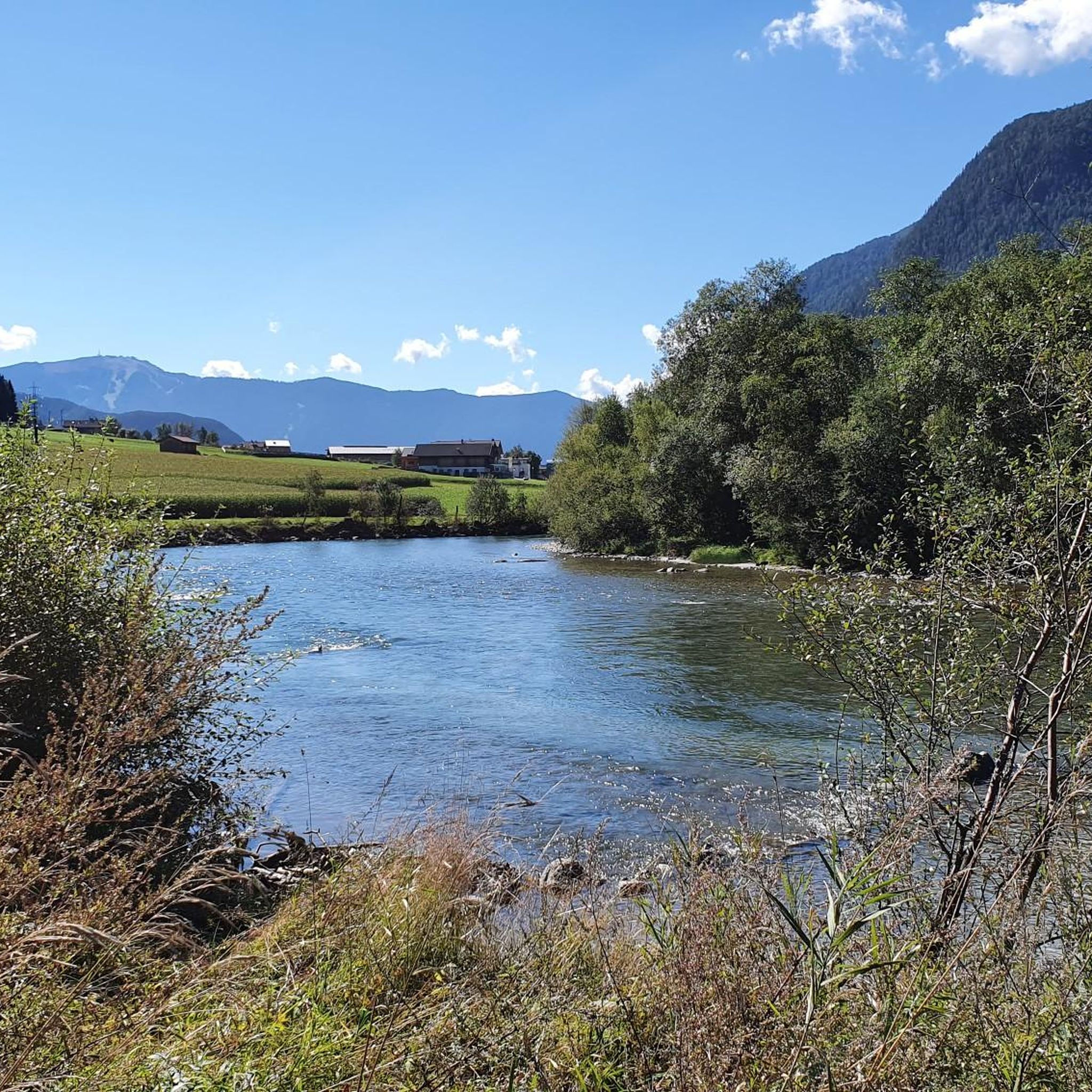
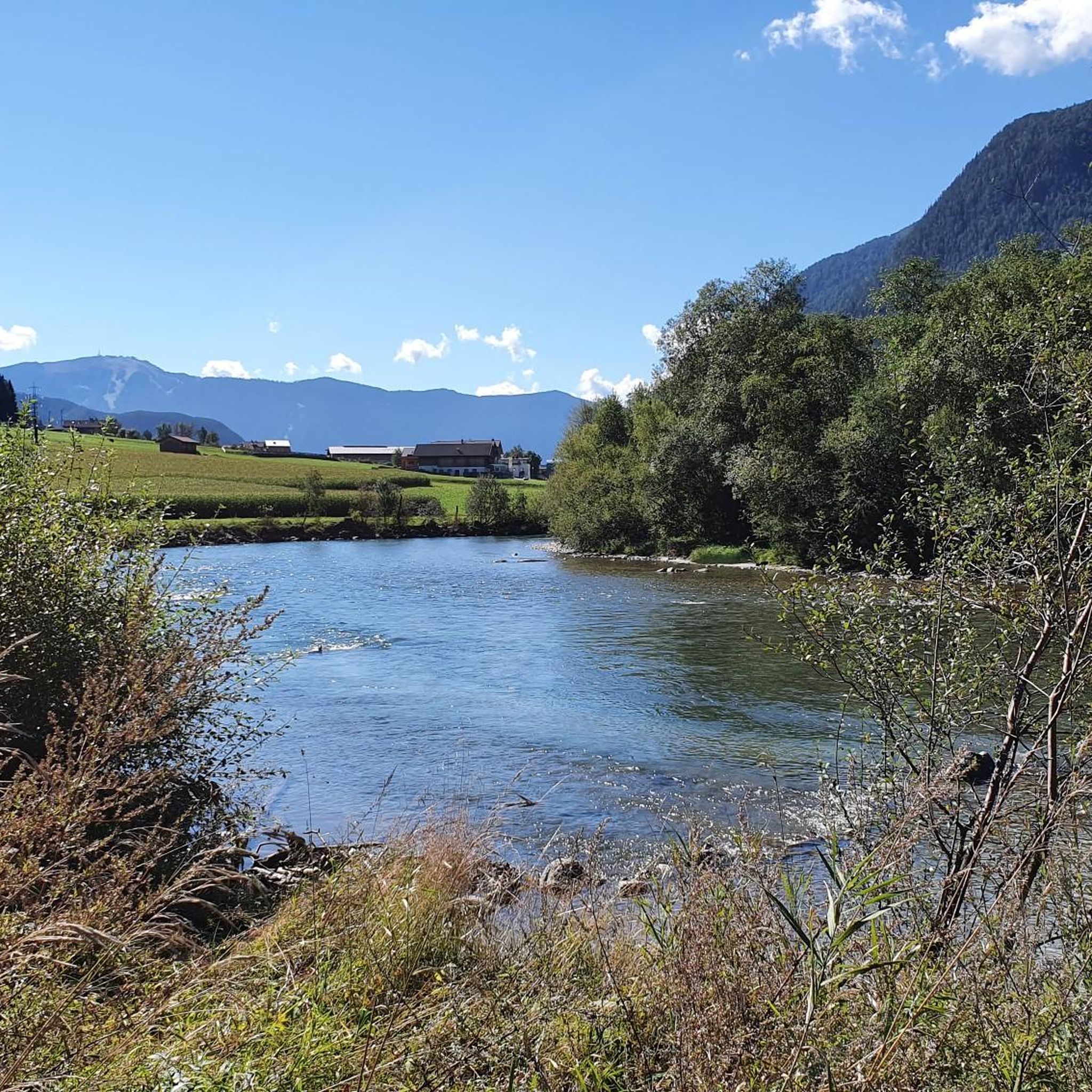


Tips from the Community


little-visited summit with wonderful views
0
0

The Pyramid Café in Oberwielenbach offers homemade cakes and regional dishes in a cozy atmosphere. Since 1989, it has delighted guests with light, natural baked goods and seasonal specialties such as porcini mushrooms and chanterelles in summer. Open: Friday to Tuesday, 9:30 a.m. to 6:00 p.m. Closed: Wednesday, Thursday. https://www.pyramidencafe.it/
0
0

The Pyramid Cafe serves really delicious homemade cakes.
0
0

Here you can enjoy a relaxed hike
0
0

Great panoramic view after the climb
0
0

Nice car park to reach early in the morning, because it is very busy even if you have to pay. Excellent starting point for venturing into the Villa di Sopra Valley to reach the top of Hochnall or Rammelstein. In winter, the Lercher hut offers sled rental for a quick, fun ride down to the car park.
1
0

From the top you have a wonderful view of the South Tyrolean mountains. For the ascent to the Rammelstein, I recommend the route from the Gönneralm.
0
0
Frequently Asked Questions
How many mountaineering routes are there around Gais?
Gais offers a wide selection of mountaineering routes, with over 80 different tours available. These range from moderate ascents to more challenging high-alpine routes, providing options for various skill levels.
What kind of terrain can I expect on mountaineering routes in Gais?
The terrain around Gais is diverse, characterized by the dramatic limestone peaks of the Alpstein Massif, lush alpine meadows, and steep valleys. You'll encounter a mix of demanding climbs and high-altitude paths, with stunning views of the Appenzell Alps.
Are there any circular mountaineering routes in Gais?
Yes, many mountaineering routes around Gais are designed as loops, allowing you to start and finish at the same point. For example, the challenging Große Windschar – Huber Alm loop from Mühlbachtal is a popular option, covering 9.5 miles (15.3 km) with significant elevation gain.
What are some notable natural features or landmarks to see along the routes?
While mountaineering, you can discover several natural attractions. Highlights include the impressive First Reinbach Waterfall, the serene Lake Anterselva – Antholzer See, and the unique Platten Earth Pyramids. The region also offers panoramic views of the Alpstein Massif and Gabris Mountain.
Are there any family-friendly mountaineering options around Gais?
While many routes are challenging, there are easier options suitable for families. The area features 'yellow' marked trails, which are generally less demanding. The trails around Gabris Mountain, for instance, offer rewarding views without extreme challenges, making them more accessible.
Can I bring my dog on the mountaineering trails?
Generally, dogs are welcome on most hiking and mountaineering trails in the Appenzell region, provided they are kept on a leash, especially in areas with livestock or wildlife. Always ensure your dog is well-behaved and capable of handling the terrain and duration of your chosen route.
What do other mountaineers say about the routes in Gais?
The mountaineering routes in Gais are highly regarded by the komoot community, boasting an average rating of 4.8 stars from over 160 reviews. Users frequently praise the stunning alpine landscapes, the challenging yet rewarding ascents, and the expansive mountain views.
Are there places to eat or drink along the mountaineering routes?
Yes, many routes in the Appenzell region feature traditional inns, known as 'Gasthäuser,' along the way. These offer opportunities to stop for refreshments and experience local culture, providing a welcome break during your mountaineering adventure.
How long do the mountaineering routes typically take?
The duration varies significantly depending on the route's difficulty and length. For example, the challenging Huber Alm loop from Mühlbachtal typically takes around 7 hours 20 minutes to complete, while others can be shorter or longer.
Is public transport available to reach the trailheads?
Gais is well-connected within the Appenzell region, and many trailheads are accessible via public transport. It's advisable to check local bus or train schedules to plan your journey to the starting points of your chosen mountaineering routes.
Are there any less crowded alternatives for mountaineering in Gais?
While popular routes can see more traffic, exploring the extensive network of trails, particularly those marked 'yellow' for easier hikes, can lead you to quieter areas. Consider routes around Gabris Mountain for rewarding views that might be less frequented than the most challenging high-alpine paths.
What is the best time of year for mountaineering in Gais?
The best time for mountaineering in Gais is typically from late spring to early autumn (May to October), when the alpine meadows are lush, and the weather conditions are generally more stable. This period offers the most favorable conditions for enjoying the high-altitude paths and stunning views.
What is a challenging mountaineering route I can try in Gais?
For experienced mountaineers seeking a challenge, the Rammelstein Summit (2,483 m) – Gönneralm (1970 m) loop from Pustertal - Val Pusteria is a demanding option. This route covers 8.9 miles (14.4 km) with over 1000 meters of elevation gain, typically taking around 7 hours 40 minutes to complete.
Most popular attractions around Gais

Get inspired with the komoot mobile app


Explore more
Browse the best Mountain Hikes & Routes in other regions.
