The best running trails around Gais
4.4
(21)
1,026
runners
48
runs
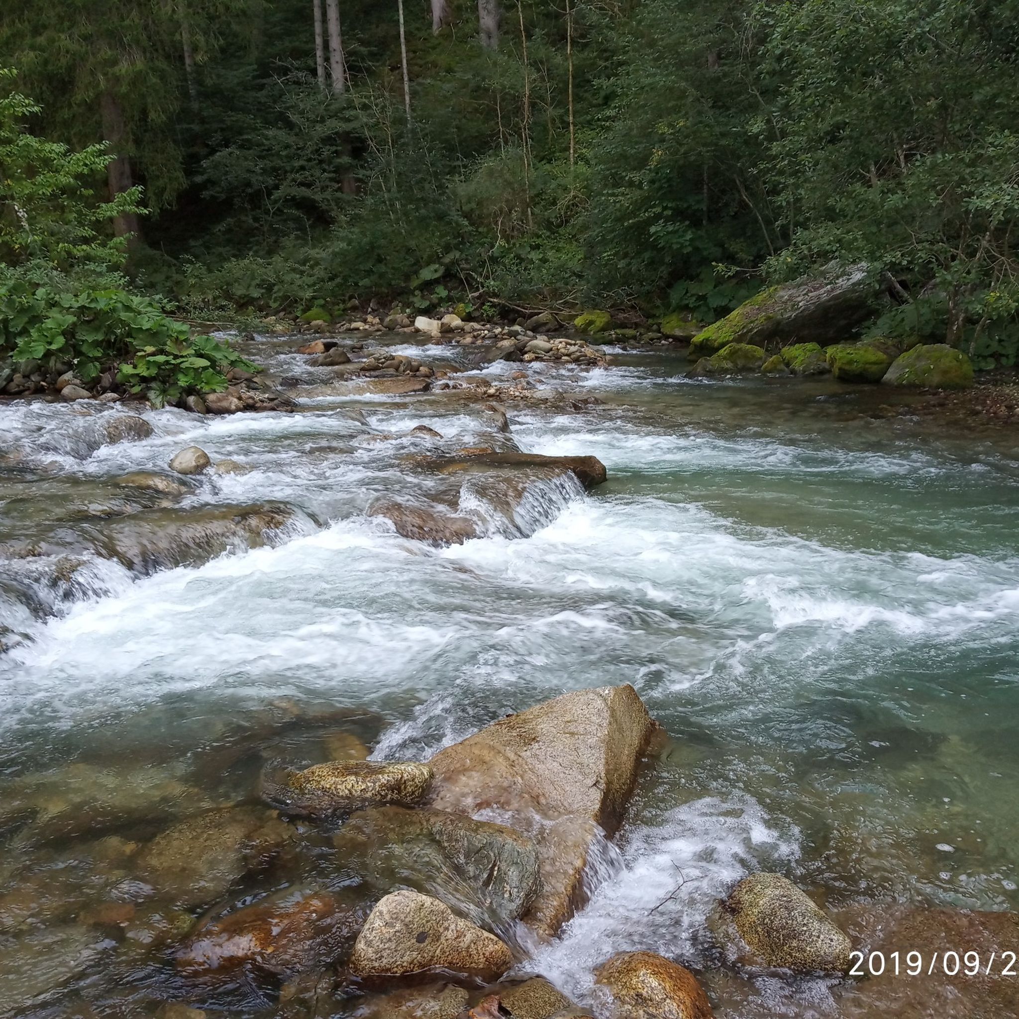
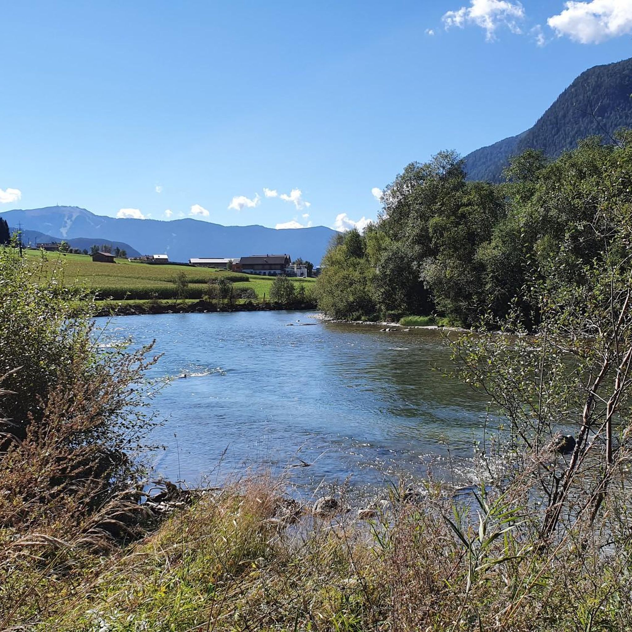
Jogging around Gais, located in South Tyrol, Italy, offers diverse natural landscapes and well-maintained paths. The region features prominent natural attractions such as the Reinbach Waterfalls and Lake Anterselva, providing scenic backdrops for running. Paths often follow river courses like the Aurino River, or offer views of the surrounding Ahrntal Valley and distant mountains. The terrain varies from relatively flat valley routes to paths with moderate elevation changes.
Best jogging routes around Gais
- The most popular jogging route is Uttenheim…
Last updated: September 27, 2026
4.2
(5)
106
runners
10.2km
01:03
20m
20m
Moderate run. Good fitness required. Mostly paved surfaces. Suitable for all skill levels.
3.0
(2)
115
runners
13.2km
01:23
60m
70m
Moderate run. Good fitness required. Mostly paved surfaces. Suitable for all skill levels.

4.0
(2)
113
runners
7.87km
00:49
20m
20m
Moderate run. Good fitness required. Mostly paved surfaces. Suitable for all skill levels.
4.5
(2)
48
runners
Hard run. Very good fitness required. Mostly paved surfaces. Suitable for all skill levels.
3.6
(5)
88
runners
Moderate run. Good fitness required. Mostly paved surfaces. Suitable for all skill levels.
Get access to more routes and recommendations from other explorers.
Already have an account?
Our route recommendations are based on thousands of hikes, rides, and runs completed by other people on komoot.
Start today with a free account
Your next adventure awaits.



Tips from the Community


Unfortunately, it only happens once a year. In 2024, it was on Sunday (October 13th) at 12:30 p.m. for about half an hour. Cows decorated with large bells walk and sometimes "run" through the street, followed by a parade of brass bands and a few floats. Afterwards, the event continues in the festival tent.
0
0

a cycle path with almost no inclines. Great for covering distance! Great connection from Hotel Windschar (Gais) to Sand to go to a pizzeria or iced coffee shop.
2
1

From this point you can see Tures Castle, which dominates the town from the promontory in a very scenic way.
0
0

Bridge over the Ahr near Mühlen in Taufers. Connection to the beautiful Ahr Valley cycle path.
0
0

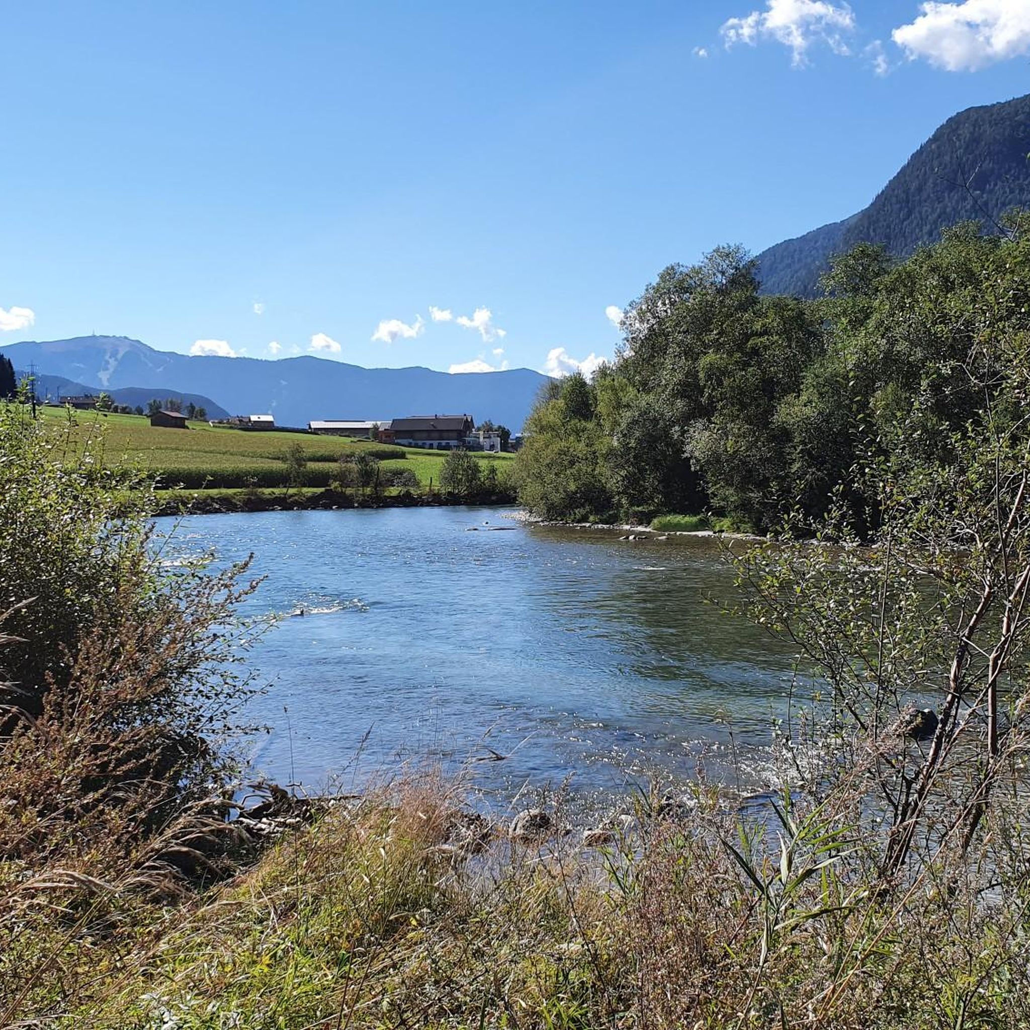
Quiet path along the Ahr, which forms a loop here. A little further north is a rest area on the shore.
2
0

A nice view of the Neuhaus castle ruins. It is clearly visible from afar.
1
0
One of the many castles here in the Brenner region. The castle ruin Schlössl sits enthroned on a rock in front of it and is clearly visible from afar.
3
0
Frequently Asked Questions
How many running routes are available around Gais?
There are over 40 diverse running routes around Gais, offering options for various fitness levels. You'll find 2 easy routes, 17 moderate routes, and 23 more challenging trails.
Are there any running routes in Gais that feature waterfalls?
Yes, the region around Gais is known for its beautiful waterfalls. The Reinbach Waterfalls (also known as Riva waterfalls) are a prominent feature. While not directly on a listed jogging route, a path leads to the First Reinbach Waterfall, offering a picturesque setting that can be incorporated into a run or walk.
Can I find circular jogging routes in Gais?
Many of the running routes in Gais are designed as loops. For example, the Natural Swimming Pond in Gais – Along the Aurino River loop from Gais is a popular circular trail that follows the Aurino River valley.
What kind of terrain can I expect on the running trails in Gais?
The terrain around Gais is quite varied. You can expect a mix of relatively flat valley routes, especially along river courses like the Aurino River, and paths with moderate to significant elevation changes as you gain views of the surrounding Ahrntal Valley and distant mountains. Some routes are rated as 'difficult' due to their elevation profiles.
Are there any family-friendly running routes suitable for all ages in Gais?
While specific 'family-friendly' routes aren't explicitly categorized, the region offers 2 easy routes that would be suitable for families looking for a less strenuous run or walk. The paths around natural features like Lake Anterselva are generally well-maintained and offer refreshing jogs amidst stunning scenery.
What are some scenic landmarks or viewpoints I can see while jogging in Gais?
Gais offers several scenic points. The Uttenheim – View of the Ahrntal Valley loop from Gais provides expansive views of the Ahrntal Valley. Another route, View of Brunico – St. George's Church loop from Gais, offers vistas towards Brunico and passes by St. George's Church. You can also visit the Lake Anterselva – Antholzer See, which has a 3.5 km path encircling it.
Is it possible to access running routes in Gais using public transport?
Gais is located in South Tyrol, Italy, a region generally well-served by public transport. While specific bus stops for each trail are not listed, the presence of well-described paths and natural attractions suggests accessibility. It's advisable to check local bus schedules for connections to trailheads.
What do other runners say about the jogging routes in Gais?
The running routes in Gais are highly rated by the komoot community, with an average score of 4.8 stars from over 6 reviews. More than 1000 runners have used komoot to explore Gais's varied terrain, often praising the diverse natural landscapes and well-maintained paths.
Are there any dog-friendly running trails in Gais?
Many outdoor trails in South Tyrol are dog-friendly, provided dogs are kept on a leash. While specific regulations for Gais are not detailed, the natural environment and numerous paths suggest that many routes would be suitable for running with your dog. Always ensure you follow local guidelines regarding leashing and waste disposal.
What is the best time of year for running in Gais?
Gais, with its diverse natural landscapes, offers good running conditions for much of the year. Spring and autumn provide pleasant temperatures and vibrant scenery. Summer is also suitable, especially in the mornings or evenings, or at higher altitudes like around Lake Anterselva. Winter running is possible, but conditions may vary, with snow and ice present on some trails, particularly at higher elevations.
Are there any longer, more challenging running routes for experienced runners?
Yes, Gais offers 23 difficult routes for experienced runners seeking a challenge. An example is the View of Brunico – View of the Ahrntal Valley loop from Uttenheim - Villa Ottone, which is over 20 km long and features significant elevation changes.
Are there any running routes that follow a river in Gais?
Yes, several routes in Gais follow river courses. The Natural Swimming Pond in Gais – Along the Aurino River loop from Gais is a great option that leads through the Aurino River valley, offering a refreshing run alongside the water.
Most popular attractions around Gais

Get inspired with the komoot mobile app


Explore more
Browse the best Running Trails & Routes in other regions.
