The best MTB trails in Burnaby Mountain Conservation Area
4.3
(22)
1,313
riders
33
rides
Mountain bike trails in Burnaby Mountain Conservation Area offer a diverse network across 576 hectares, characterized by forested slopes and varied terrain. The area rises from near sea level to a summit of 366 meters, providing both challenging climbs and rewarding descents. Panoramic views of Burrard Inlet, the North Shore Mountains, and downtown Vancouver are accessible from various points. This conservation area features a mix of multi-use trails and a dedicated bike skills park, catering to different riding preferences.
Best…
Last updated: October 21, 2026
3
riders
33.4km
03:07
880m
880m
Hard mountain bike ride. Good fitness required. Advanced riding skills necessary. Some portions of the route may require you to push your bike.
6
riders
21.0km
01:58
620m
620m
Hard mountain bike ride. Good fitness required. Advanced riding skills necessary. Some portions of the route may require you to push your bike.

8
riders
14.1km
01:29
430m
430m
Moderate mountain bike ride. Good fitness required. Advanced riding skills necessary.
102
riders
25.2km
02:53
1,040m
1,040m
Hard mountain bike ride. Very good fitness required. Advanced riding skills necessary. Some portions of the route may require you to push your bike.
31
riders
8.36km
01:04
430m
430m
Hard mountain bike ride. Good fitness required. Advanced riding skills necessary. Some portions of the route may require you to push your bike.
Get access to more routes and recommendations from other explorers.
Already have an account?
Our route recommendations are based on thousands of hikes, rides, and runs completed by other people on komoot.
Start today with a free account
Your next adventure awaits.

Tips from the Community

This eastern stretch of the Bridle Path crosses Taylor Creek in classic Mount Seymour forest: green, shaded, and slightly rugged. It’s a good place to slow down by the water before continuing through the trail network. The path is shared with riders, so stay aware.
0
0

Lower Line is a relatively short multi-use route that connects to the park’s wider network of hiking and mountain biking routes. The trail winds through dense coastal forest and mixes natural singletrack with connecting paths, making it ideal for exploring the surrounding trails. Keep an eye out for local wildlife, especially deer, as you make your way through this quieter forested area.
0
0

This multi-use, singletrack trail has a series of tight switchbacks. While it's not too technical for hikers, mountain bikers might find some sections difficult. If you are hiking this trail be aware that this is an uphill only path for bikes and please give way to uphill traffic so they can maintain their momentum.
1
0

You can walk down from the parking lot to a lookout point that peers between the treetops in the direction of Port Moody. The lookout is right along the road but separated from traffic by barricading.
0
0
This wide, gravel trail winds along West Noons Creek and between a couple of neighbourhoods. It's a popular multi-use trail so expect to share the path with hikers, trails runners, and mountain bikers. There are some small mountain bike features built on the side of the trail, so be sure to keep an eye out for fast moving bikers when approaching them.
0
0
Many of the trails near the entrance of the park are wide crushed gravel, but there are plenty of windy singletrack paths to explore further in. Dogs must be leashed once you're off the main road.
0
0

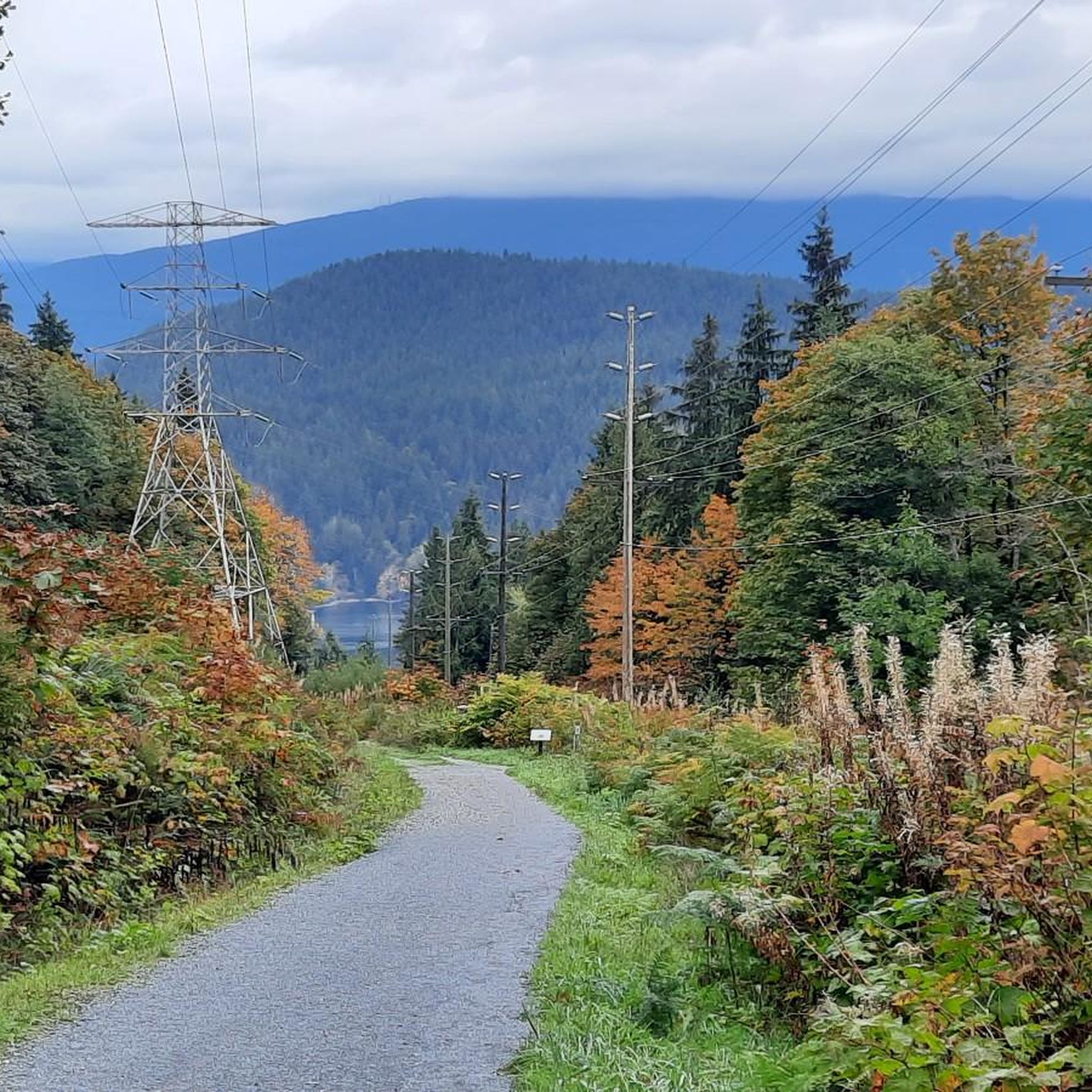
Powerline Road is a wide and flat gravel path with some sections of challenging incline. You'll find sweeping views of the inlets and mountains in the distance, as well as the occasional wildlife encounter, along this trail.
0
0
Frequently Asked Questions
How many mountain bike routes are available in Burnaby Mountain Conservation Area?
Komoot features over 40 mountain bike routes in Burnaby Mountain Conservation Area, offering a diverse network for various skill levels. These routes range from moderate to difficult, providing plenty of options for exploration.
Are there mountain bike trails suitable for beginners in Burnaby Mountain Conservation Area?
While many routes are challenging, there are a few easier options. The area is known for its progression, with trails like "Mel's" offering a more gradual slope suitable for cross-country riders. The Bottle Top Trail loop from Seymour is a moderate route that could be a good step for those moving beyond pure beginner trails.
What kind of views can I expect while mountain biking in Burnaby Mountain Conservation Area?
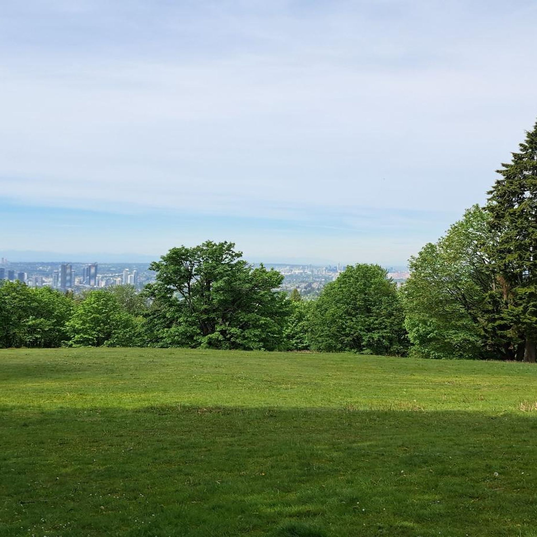
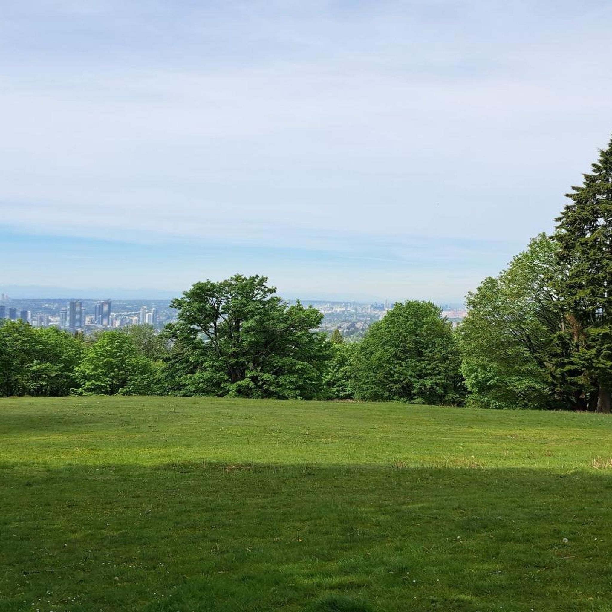
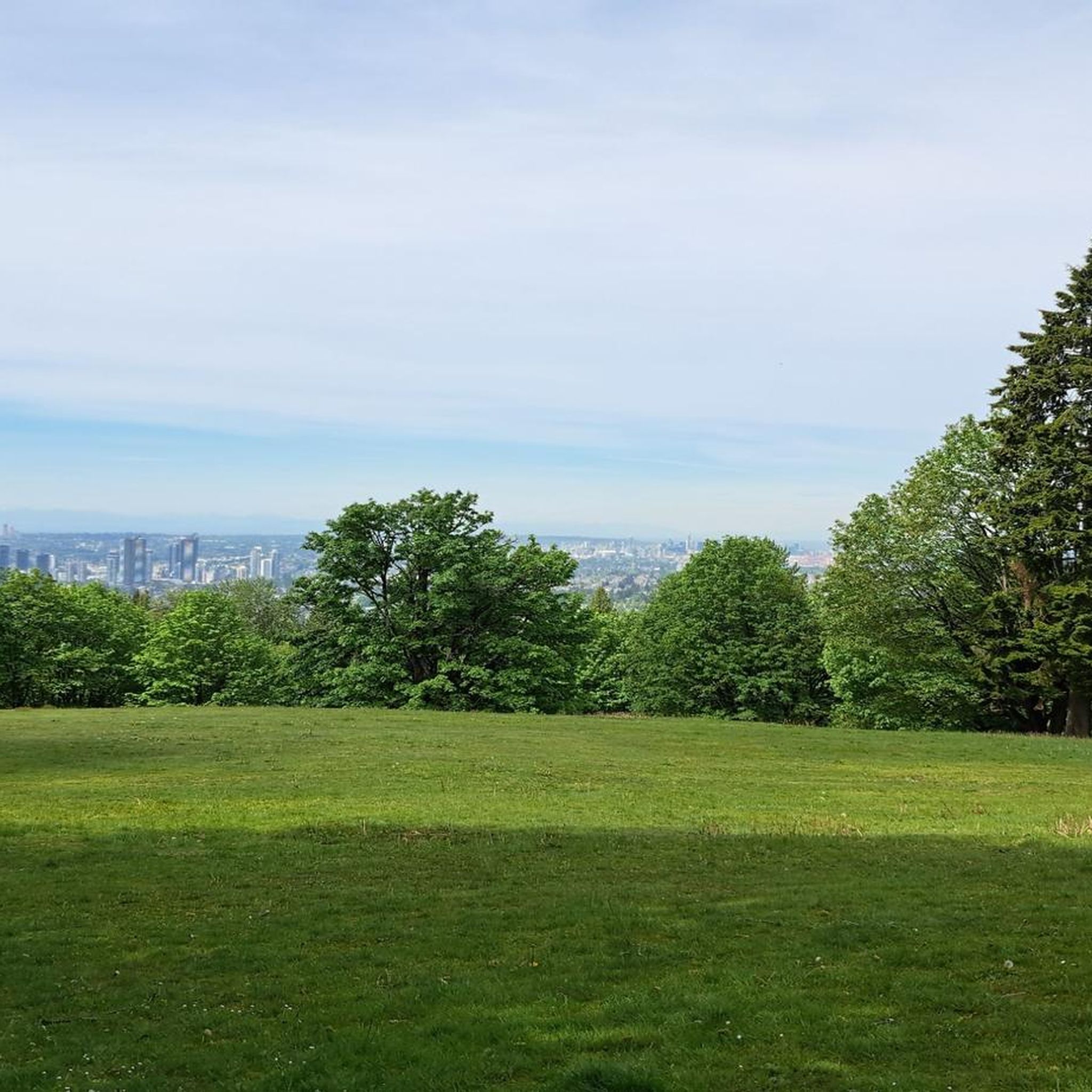
The summit and various points along the trails offer breathtaking panoramic views. You can enjoy expansive vistas of Burrard Inlet, the North Shore Mountains, and downtown Vancouver. For specific viewpoints, check out the View of Indian Arm and Burrard Inlet and the View of Vancouver from Burnaby Mountain Conservation Area.
Are there any specific attractions or landmarks to see along the trails?
Yes, Burnaby Mountain Conservation Area features several unique attractions. You can visit the Kamui Mintara (Playground of the Gods) Sculpture, which symbolizes goodwill with Kushiro, Japan. There are also the Burnaby Mountain Water Tower Murals and the Centennial Rose Garden, which are easily accessible.
Is there a dedicated area to practice mountain biking skills?
Absolutely! The Mountain Air Bike Skills Park, located on the north side of Burnaby Mountain, is a significant draw. It provides a dedicated space for riders of all levels to hone their skills with obstacles like skinnies, elevated bridges, drops, teeter-totters, and dirt jumps.
What is the best time of year to go mountain biking in Burnaby Mountain Conservation Area?
The trails are generally accessible year-round, but spring and fall offer ideal conditions with milder temperatures and lush scenery. While winter riding is possible, be prepared for potentially wet and muddy conditions, and always check local trail reports for closures or hazards.
What do other mountain bikers say about the trails in Burnaby Mountain Conservation Area?
The routes in Burnaby Mountain Conservation Area are highly rated by the komoot community, with an average score of 4.1 stars from over 30 reviews. Mountain bikers often praise the diverse terrain, challenging climbs, and rewarding descents, as well as the stunning panoramic views.
Are there any circular mountain bike routes available?
Yes, many of the routes in Burnaby Mountain Conservation Area are designed as loops. For example, the difficult Powerline Road – Eagle Bluff Lookout loop from Burquitlam offers significant elevation gain and expansive views, while the Top of GSM Trail – Severed D loop from Dollarton navigates varied forest landscapes.
What are the parking options for mountain bikers?
Burnaby Mountain Conservation Area has several parking areas, particularly near the summit and various trailheads. These are generally well-marked and provide convenient access to the trail network. Specific parking details can often be found on individual route pages or local park maps.
Can I reach Burnaby Mountain Conservation Area by public transport?
Yes, Burnaby Mountain is accessible by public transport. TransLink bus routes serve the area, particularly connecting to Simon Fraser University (SFU) at the top of the mountain, which is adjacent to the conservation area. This allows for car-free access to the trails.
What kind of wildlife might I encounter on the trails?
The conservation area is home to diverse wildlife. You might spot black-tailed deer, coyotes, and bald eagles. Black bears and cougars are occasional visitors, particularly near the streams and forested areas, so it's always wise to be aware of your surroundings and practice wildlife safety.
Are there any moderate difficulty trails for mountain bikers looking for a step up from beginner routes?
Certainly. While many routes are rated difficult, there are several moderate options that provide a good challenge without being overly technical. The Bottle Top Trail loop from Seymour is a good example of a moderate route that offers a rewarding ride through the area's varied terrain.
Most popular routes in Burnaby Mountain Conservation Area
Most popular attractions in Burnaby Mountain Conservation Area

Get inspired with the komoot mobile app


Explore more
Browse the best MTB trails in other regions.
