The best running trails in Burnaby Mountain Conservation Area
4.5
(58)
4,337
runners
225
runs
Jogging routes in Burnaby Mountain Conservation Area traverse a diverse landscape characterized by forested slopes, varied terrain, and significant elevation changes. The area features an extensive network of trails, ranging from smooth gravel paths to natural woodland routes. Runners can experience climbs from lower elevations up to the summit, offering panoramic views of the surrounding region. This conservation area provides a mix of challenging ascents and more gentle paths suitable for different running preferences.
Best jogging routes in Burnaby Mountain Conservation Area
- The most popular jogging route is Mel's Trail – Pipeline Trail loop from Metro Vancouver Regional District, a 12.7 miles (20.5 km) trail that takes 2 hours 37 minutes to complete. This difficult route features significant elevation gain and varied terrain.
- Another top favourite among local runners is Pipeline Trail loop from Simon Fraser University, a moderate 4.1 miles (6.6 km) path. This route offers a quicker option for a solid workout, often completed in under an hour.
- Local runners also love the Burnaby Lake loop from UniverCity, a 7.8 miles (12.5 km) trail leading through scenic lakeside areas, often completed in about 1 hour 20 minutes.
- Jogging in Burnaby Mountain Conservation Area is defined by forested slopes, panoramic viewpoints, and multi-use trails. The network offers options for different ability levels, from easy runs to challenging climbs.
- The routes in Burnaby Mountain Conservation Area are highly rated by the komoot community with an average score of 4.6 stars from over 50 reviews. More than 4000 runners have used komoot to explore Burnaby Mountain Conservation Area's varied terrain.
Last updated: October 21, 2026
16
runners
6.63km
00:51
230m
230m
Moderate run. Good fitness required. Mostly paved surfaces. Suitable for all skill levels.
5
runners
12.9km
01:22
160m
160m
Moderate run. Good fitness required. Mostly paved surfaces. Suitable for all skill levels.

6
runners
7.39km
00:47
110m
110m
Moderate run. Good fitness required. Mostly paved surfaces. Suitable for all skill levels.
4
runners
5.56km
00:42
140m
140m
Moderate run. Good fitness required. Mostly paved surfaces. Suitable for all skill levels.
3
runners
6.65km
00:53
280m
280m
Moderate run. Good fitness required. Mostly paved surfaces. Suitable for all skill levels.
Get access to more routes and recommendations from other explorers.
Already have an account?
Our route recommendations are based on thousands of hikes, rides, and runs completed by other people on komoot.
Start today with a free account
Your next adventure awaits.
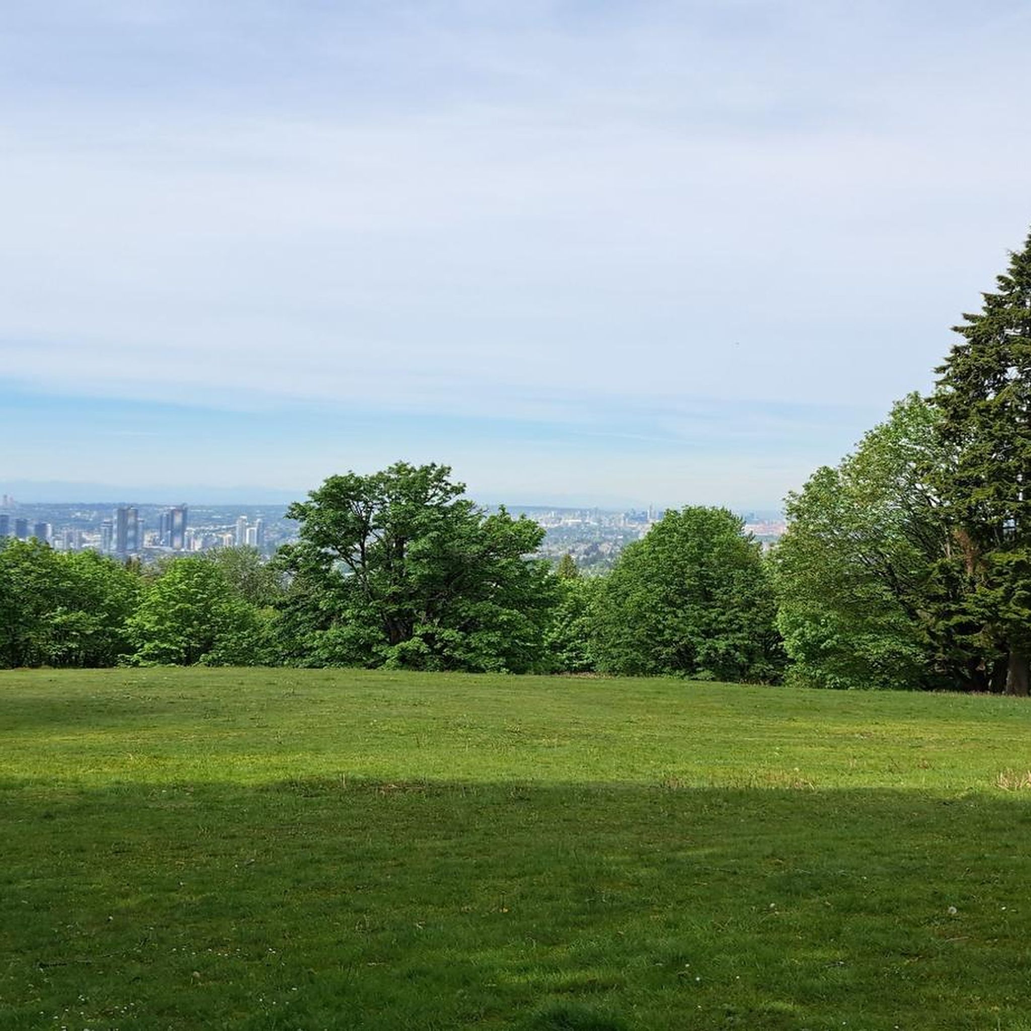
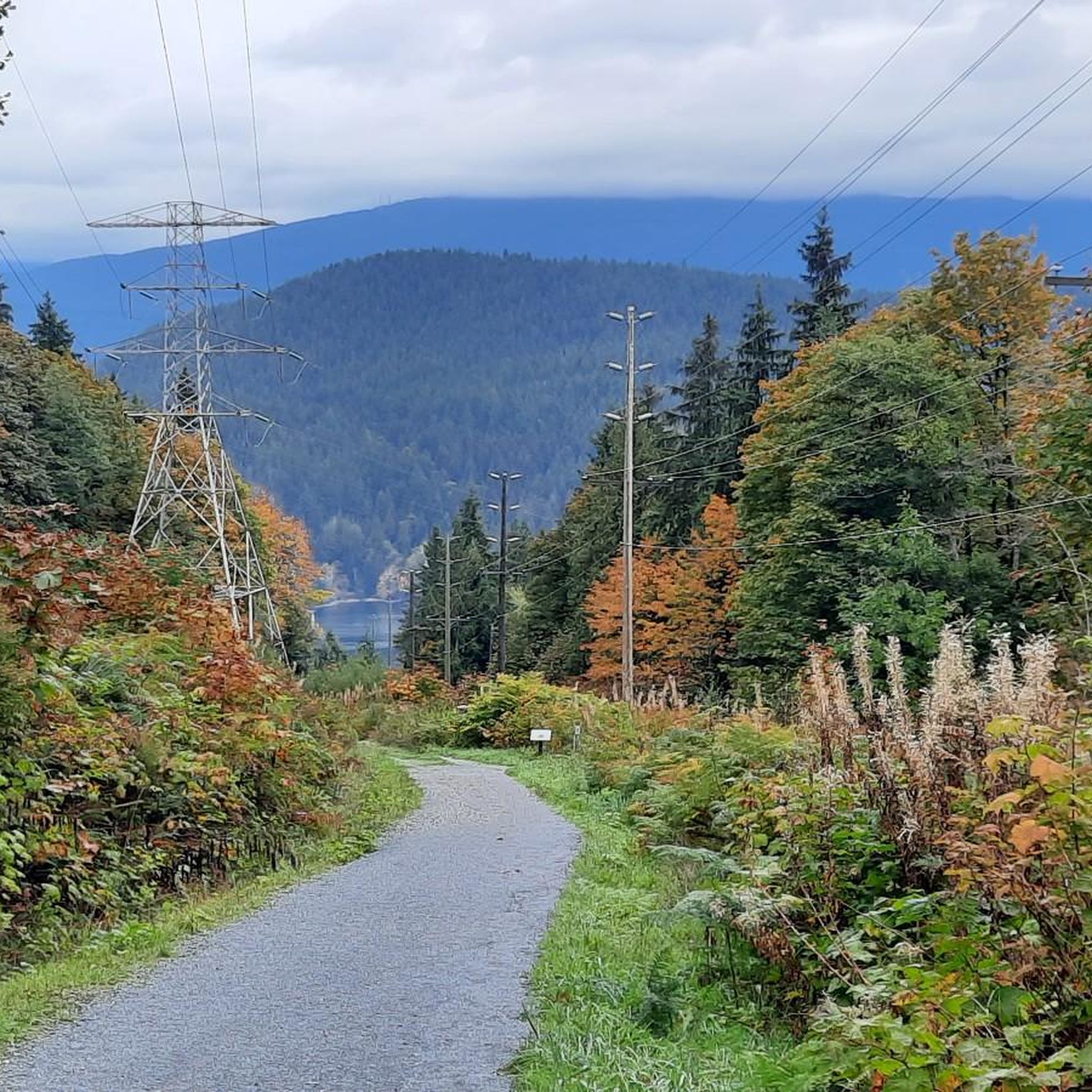

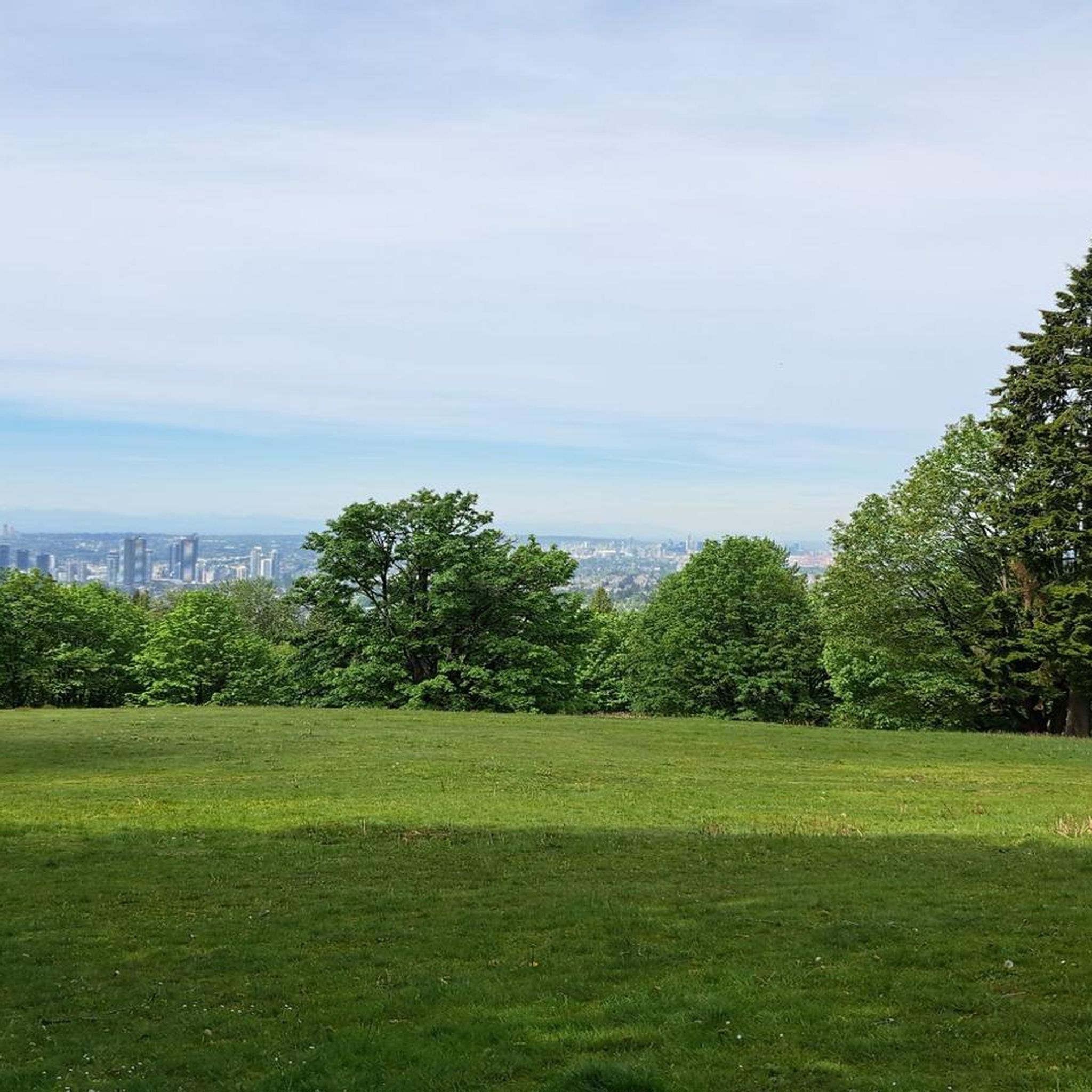
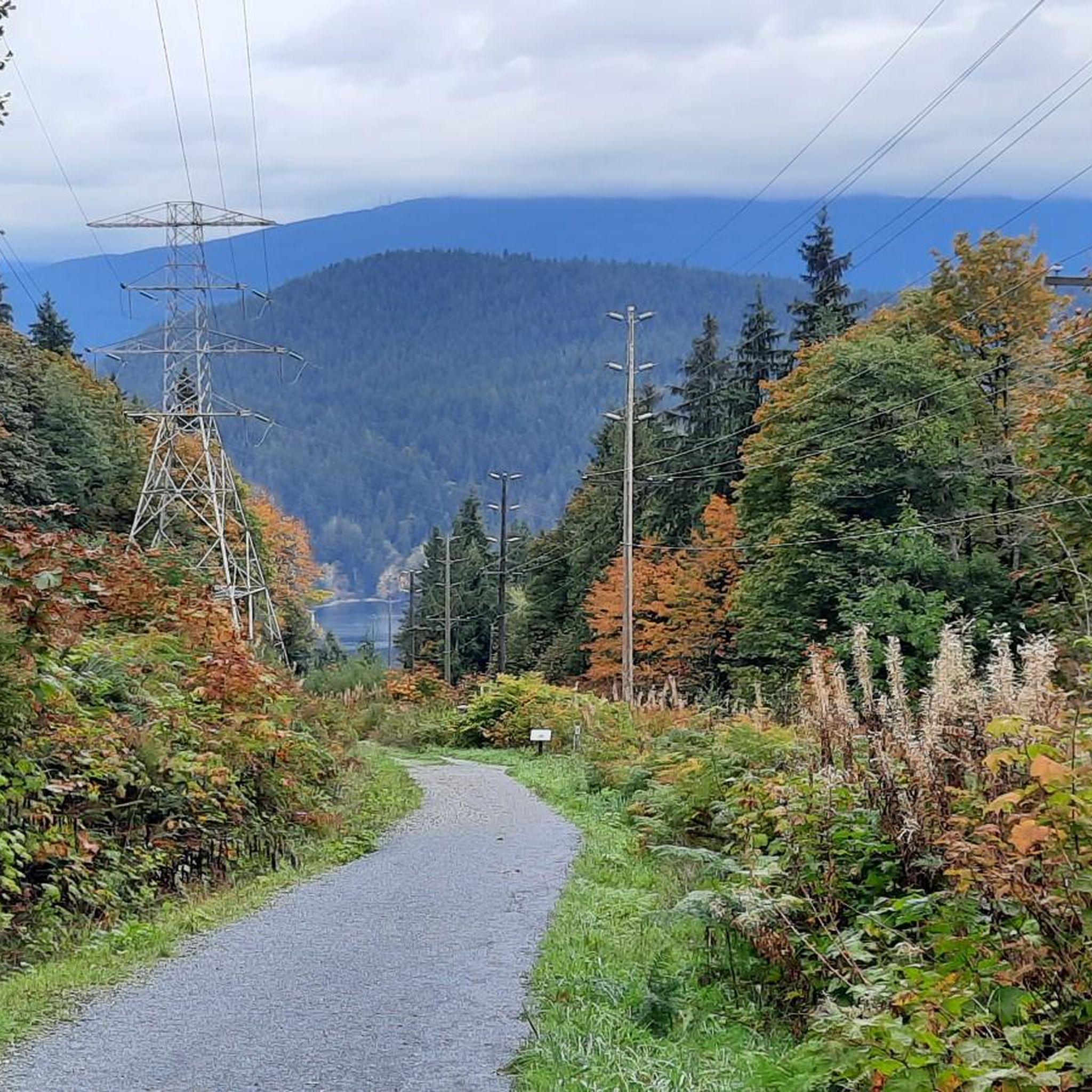
Tips from the Community

This flat, gravel trail runs between railroad tracks and Burnaby Lake. It's perfect for a family outing with multiple viewpoints along the way. You can take it as an out and back or combine it with other trails for a loop around the lake.
0
0

The Burnaby Mountain Biking and Hiking Trails span a total of 28 kilometres across 576 hectares of the Burnaby Mountain Conservation Area. The best place to park is the park at the Mountain Air Bike Skills parking lot, but there are smaller lots around the university as well for accessing different areas of the forest. Burnaby Mountain Conservation Area can feel quite wild sometimes, with wildlife sharing the trails and forests like blacktail deer, coyotes, bald eagles, black bears and cougars. However, you can also find quiet areas of the forest that feel totally removed from urban life.
0
0

Unlike the surrounding forest trails, Powerline Trail follows an open utility corridor across Burnaby Mountain. The cleared route creates wider views and a greater sense of space than the densely wooded sections nearby, offering a different perspective on the conservation area.
0
0
The Burnaby Mountain Conservation Area protects a large forested ecosystem on the slopes of Burnaby Mountain, which rises to about 370 metres (1,214 ft) above the surrounding city and overlooks Burrard Inlet and the Lower Mainland. The area has long been used by Coast Salish peoples and was first logged in the early 1900s before becoming a popular hiking destination in the 1920s and an official park in 1957. Today the conservation area spans hundreds of hectares of coastal forest filled with Douglas fir, western red cedar, and hemlock, with a network of trails used by hikers and mountain bikers.
0
0
Pipeline Trail is a wide multi-use path in the Burnaby Mountain Conservation Area that is shared by hikers and cyclists. The relatively smooth gravel surface makes it easier than many of the surrounding singletrack trails, and it can be travelled in both directions. Along the route you’ll cross small creeks on wooden bridges and pass through dense coastal forest.
0
0
Mel’s Trail is an intermediate singletrack in the Burnaby Mountain Conservation Area that winds through dense coastal forest on the mountain’s eastern slopes. The trail features natural obstacles such as roots, rocks, and narrow bridges over small creeks. Mel’s Trail connects with several other routes in the network, including the Gear Jammer Trail and Sidewinder Trail, allowing it to be combined into longer forest loops.
0
0
Frequently Asked Questions
How many running routes are available in Burnaby Mountain Conservation Area?
Burnaby Mountain Conservation Area offers a wide variety of running experiences, with over 260 routes available. These range from easy strolls to challenging climbs, catering to all fitness levels.
What types of terrain can I expect on the jogging trails?
The trails in Burnaby Mountain Conservation Area feature diverse terrain. You'll find everything from smooth gravel paths and natural woodland trails to rugged, steep sections. Elevations climb from 25 meters to the summit's 366 meters, providing varied challenges for runners.
Are there any easy or beginner-friendly running routes?
Yes, there are several options for easier runs. The red-marked 'urban trail' offers a less strenuous option, with some sections alongside roads. Additionally, routes like Running loop from Cassin are rated as easy, providing a gentle introduction to the area's trails.
Where can I find a challenging running trail in Burnaby Mountain Conservation Area?
For a significant challenge, the Velodrome Trail is highly recommended, climbing 240 meters over 1400 meters and including 500 stairs. You can combine this with the scenic Pandora Trail for an extended, vigorous workout. Another difficult option is Mel's Trail – Pipeline Trail loop from Metro Vancouver Regional District, which features significant elevation gain over 20.5 km.
What scenic views or landmarks can I see while running?
Runners can enjoy breathtaking panoramic views of downtown Vancouver, the Burrard Inlet, Indian Arm, and the North Shore Mountains from the summit. Along the trails, you might encounter the significant Kamui Mintara (Playground of the Gods) Sculpture, the Burnaby Mountain Water Tower Murals, and the lush Jim's Jungle Trail through a wetland.
Is Burnaby Mountain Conservation Area suitable for family-friendly jogging?
Yes, the conservation area offers trails suitable for families. While some routes are challenging, there are also easier paths and multi-use trails that can be enjoyed by various age groups. The diverse terrain ensures there's something for everyone, from gentle walks to more active runs.
Are dogs allowed on the running trails?
The region research indicates that many trails in Burnaby Mountain Conservation Area are multi-use, accommodating hikers, mountain bikers, and likely dogs on leash. However, it's always best to check local signage or the park's official website for specific regulations regarding dog access on individual trails.
What do other runners enjoy most about jogging in Burnaby Mountain Conservation Area?
The area is highly rated by the komoot community, with an average score of 4.6 stars from over 50 reviews. Runners often praise the diverse terrain, from forested slopes to panoramic viewpoints, and the variety of options for different ability levels. Over 4000 runners have used komoot to explore these trails.
Are there any circular running routes?
Yes, many routes in the area are designed as loops, offering a complete circular experience. Popular examples include Pipeline Trail loop from Simon Fraser University and Burnaby Lake loop from UniverCity, allowing you to start and finish at the same point.
What kind of wildlife might I encounter on the trails?
Burnaby Mountain Conservation Area is home to diverse wildlife. You might spot blacktail deer, coyotes, and bald eagles. Black bears and cougars are occasional visitors, particularly near creeks and streams, so it's always wise to be aware of your surroundings.
Is there parking available for runners at Burnaby Mountain Conservation Area?
Yes, there are parking facilities available. The main parking lot, for instance, provides easy access to trails and attractions like the Centennial Rose Garden. Specific parking areas may vary depending on your chosen starting point, so it's advisable to check maps beforehand.
Can I access the running trails using public transport?
Burnaby Mountain Conservation Area is accessible via public transport, particularly given its proximity to Simon Fraser University and UniverCity. Several bus routes serve the area, making it convenient for runners to reach the trailheads without a car.
Most popular routes in Burnaby Mountain Conservation Area
Most popular attractions in Burnaby Mountain Conservation Area

Get inspired with the komoot mobile app


Explore more
Browse the best Running Trails & Routes in other regions.
