The best cycling routes in Burnaby Mountain Conservation Area
4.5
(422)
4,001
riders
130
rides
Touring cycling in Burnaby Mountain Conservation Area offers routes across forested slopes that rise from near sea level to 366 meters. The terrain includes a mix of paved and gravel pathways, with some sections featuring significant climbs. Panoramic views of Burrard Inlet, Indian Arm, and the North Shore Mountains are present from higher elevations. The area's network of multi-use trails caters to various cycling preferences.
Best touring cycling routes in Burnaby Mountain Conservation Area
- The most popular touring cycling route…
Last updated: October 22, 2026
4.5
(6)
7
riders
Moderate bike ride. Good fitness required. Mostly paved surfaces. Suitable for all skill levels.
2
riders
Hard bike ride. Good fitness required. You may need to push your bike for some segments of this route.

4.7
(7)
110
riders
Moderate bike ride. Good fitness required. Mostly paved surfaces. Suitable for all skill levels.
5.0
(1)
62
riders
51.4km
03:20
620m
620m
Hard bike ride. Very good fitness required. Mostly paved surfaces. Suitable for all skill levels.
14
riders
17.0km
01:05
160m
160m
Moderate bike ride. Good fitness required. Mostly paved surfaces. Suitable for all skill levels.
Get access to more routes and recommendations from other explorers.
Already have an account?
Our route recommendations are based on thousands of hikes, rides, and runs completed by other people on komoot.
Start today with a free account
Your next adventure awaits.
Popular around Burnaby Mountain Conservation Area

Tips from the Community

immersion not recommended due to poor water quality in a port area
0
0

Gates Park offers a mix of paved and natural trail sections along the river, with picnic areas, playgrounds, and sports fields, making it a good starting or ending point for a longer riverside walk or ride into ƛ̓éxətəm.
0
0
At this southern spot near Pitt River Road, the Coquitlam River opens up and slows down. The water here is wider and calmer than the fast-moving sections further upstream.
0
0

This wide, gravel trail is an easy path to take as a quick out and back hike or to combine with other trails for a nice loop. Keep in mind that it is multi-use, so you're likely to see cyclists on the path as well, but it's wide enough that there's plenty of room for everyone.
0
0
This 27-hectare park in Vancouver's Cedar Cottage neighbourhood has so much to offer it's no wonder that it is the heart of the neighbourhood. You'll find the usual park offerings like picnic area, playground, and sports fields but there's also Trout Lake in the middle of the park, 2 concession stands, hiking & biking trails, an indigenous medicine garden, and the Trout Lake Community Centre which has it's own wide range of amenities.
0
0

This section of the Trans Canada Trail follows the wooded banks of the Coquitlam River through Coquitlam. The mostly gravel path runs through forested river habitat, offering a quiet stretch of trail where the sound of the river accompanies much of the walk. It’s a multi-use route popular with hikers, runners, and cyclists, and several bridges and viewpoints along the way provide good views over the river as it flows through the valley.
0
0
From the Eleanor Ward Bridge, you will be suspended high above the flowing waters of the Coquitlam River. The bridge provides a clear view down into the forested river corridor as the river winds through the valley below. It’s a striking vantage point along the route and a great place to pause and watch the river moving through this green stretch of Coquitlam.
0
0

A very nice place to walk.
2
0
Frequently Asked Questions
How many touring cycling routes are available in Burnaby Mountain Conservation Area?
Burnaby Mountain Conservation Area offers a wide selection of touring cycling routes, with over 150 options available. These routes cater to various skill levels, including easy, moderate, and difficult paths.
What kind of terrain can I expect on touring cycling routes in Burnaby Mountain Conservation Area?
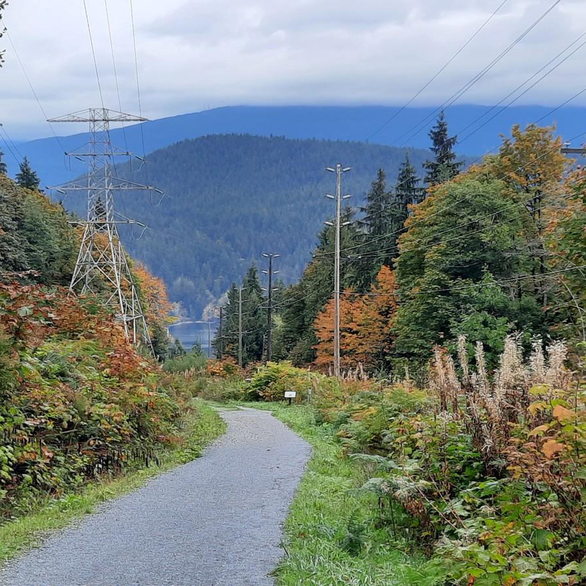
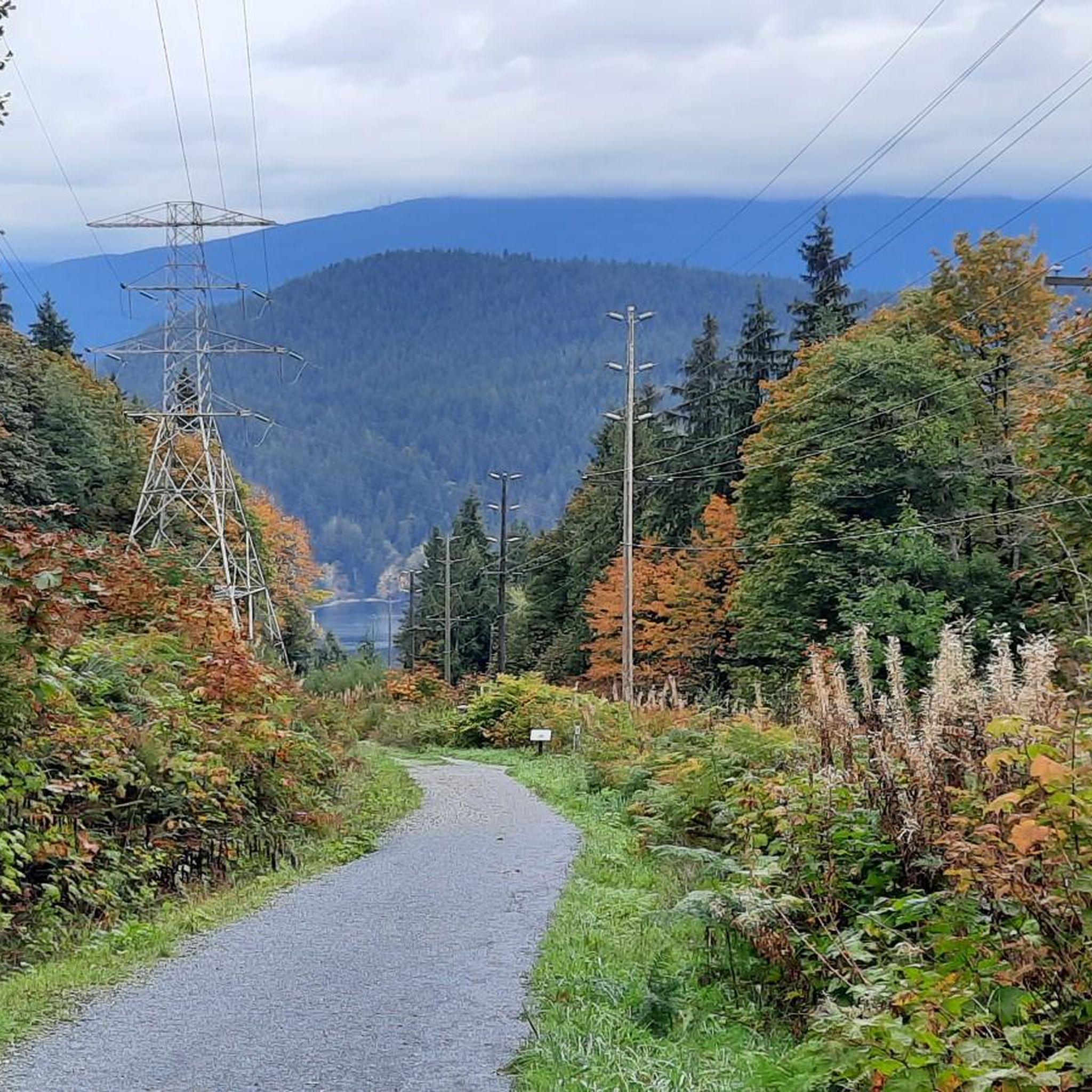
The terrain in Burnaby Mountain Conservation Area is diverse, featuring forested slopes that rise from near sea level to 366 meters. You'll encounter a mix of paved roads and gravel pathways. While some routes offer gentler rides, be prepared for sections with significant climbs, especially on parts of the Trans Canada Trail, which can have grades exceeding 20%.
What scenic viewpoints can I find along touring cycling routes?
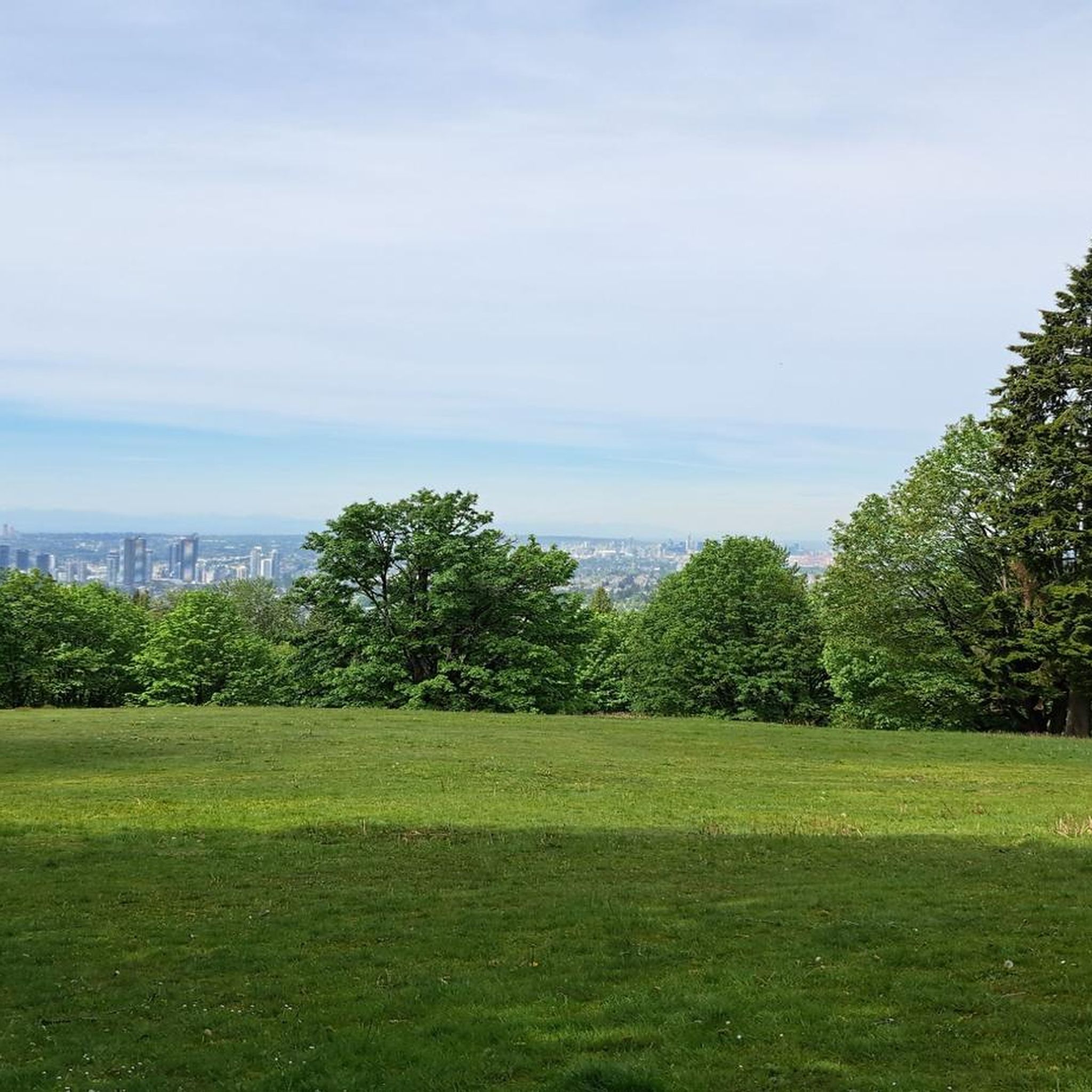
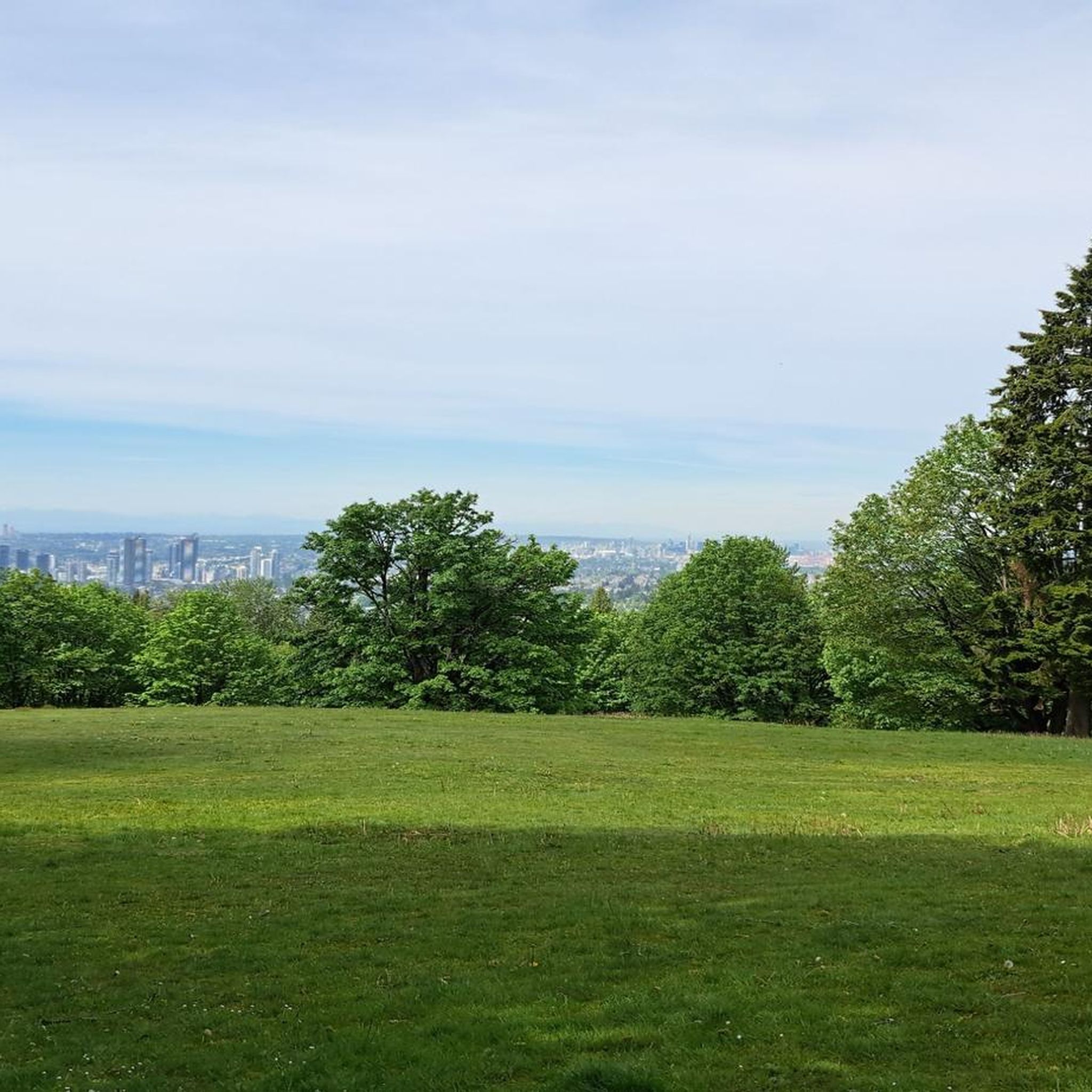
Burnaby Mountain offers breathtaking panoramic views from its higher elevations. You can enjoy stunning vistas of the Burrard Inlet, Indian Arm, the Vancouver skyline, and the North Shore Mountains. Notable viewpoints include the View of Indian Arm and Burrard Inlet and the View of Vancouver from Burnaby Mountain Conservation Area.
Are there any cultural landmarks or unique attractions to see while cycling?
Yes, Burnaby Mountain Conservation Area features several unique attractions. You can visit the Kamui Mintara (Playground of the Gods) Sculpture, a significant cultural monument. Additionally, keep an eye out for the colorful Burnaby Mountain Water Tower Murals located along the Trans Canada Trail within the forest.
Are there family-friendly touring cycling options in Burnaby Mountain Conservation Area?
While some trails can be challenging, there are options suitable for families, particularly on the paved and hard-packed sections of the Trans Canada Trail or alternative routes with fewer steep climbs. For a moderate experience, consider routes like the View of Como Lake – Mundy Lake loop from Burquitlam, which leads through forested areas and past lakes.
Are there any circular touring cycling routes available?
Yes, many touring cycling routes in Burnaby Mountain Conservation Area are designed as loops, offering a convenient way to explore without retracing your steps. Examples include the Hoy Creek Salmon Hatchery – Mundy Lake loop from Burquitlam, which explores natural areas, or the longer English Bay Beach – Granville Island Public Market loop from Burquitlam for varied urban and coastal landscapes.
Where can I park when visiting Burnaby Mountain Conservation Area for cycling?
Parking is available at various points around Burnaby Mountain Conservation Area. You can find parking at locations such as the Mountain Air Bike Skills parking lot and near the Centennial Rose Garden. These spots provide convenient access to the trail network.
Can I reach Burnaby Mountain Conservation Area by public transport for cycling?
Yes, Burnaby Mountain Conservation Area is accessible by public transport. The area is well-connected, and you can plan your journey to reach various access points, including those near Simon Fraser University, which is served by transit.
What do other touring cyclists enjoy the most about touring cycling in Burnaby Mountain Conservation Area?
The komoot community highly rates touring cycling in Burnaby Mountain Conservation Area, with an average score of 4.4 stars from over 390 reviews. Cyclists often praise the diverse terrain, from paved paths to challenging climbs, and the rewarding panoramic views of Burrard Inlet and the Vancouver skyline.
Are touring cycling routes in Burnaby Mountain Conservation Area dog-friendly?
Many multi-use trails within Burnaby Mountain Conservation Area are dog-friendly, but it's important to keep dogs on a leash and adhere to local regulations. Always check specific trail signage for any restrictions or requirements regarding pets.
Are there any moderate touring cycling routes that offer a good balance of challenge and scenery?
For a moderate experience that balances challenge with scenic views, consider routes like the Pedestrian and Bicycle Bridge – Burnaby North Viking Statue loop from Burquitlam. This route offers a good distance and elevation gain without being overly strenuous, allowing you to enjoy the surroundings.
What are some longer touring cycling routes for experienced riders?
Experienced touring cyclists looking for longer rides can explore routes that extend beyond the immediate conservation area. The English Bay Beach – Lions Gate Bridge loop from Production Way–University is a moderate, longer option that takes you through varied landscapes, including urban and coastal sections, offering a substantial cycling adventure.
Most popular routes in Burnaby Mountain Conservation Area
Most popular attractions in Burnaby Mountain Conservation Area

Get inspired with the komoot mobile app


Explore more
Browse the best Cycling routes in other regions.
