The best walks and hikes around Lac de Cap-de-Long
4.6
(1676)
18,987
hikers
10
hikes
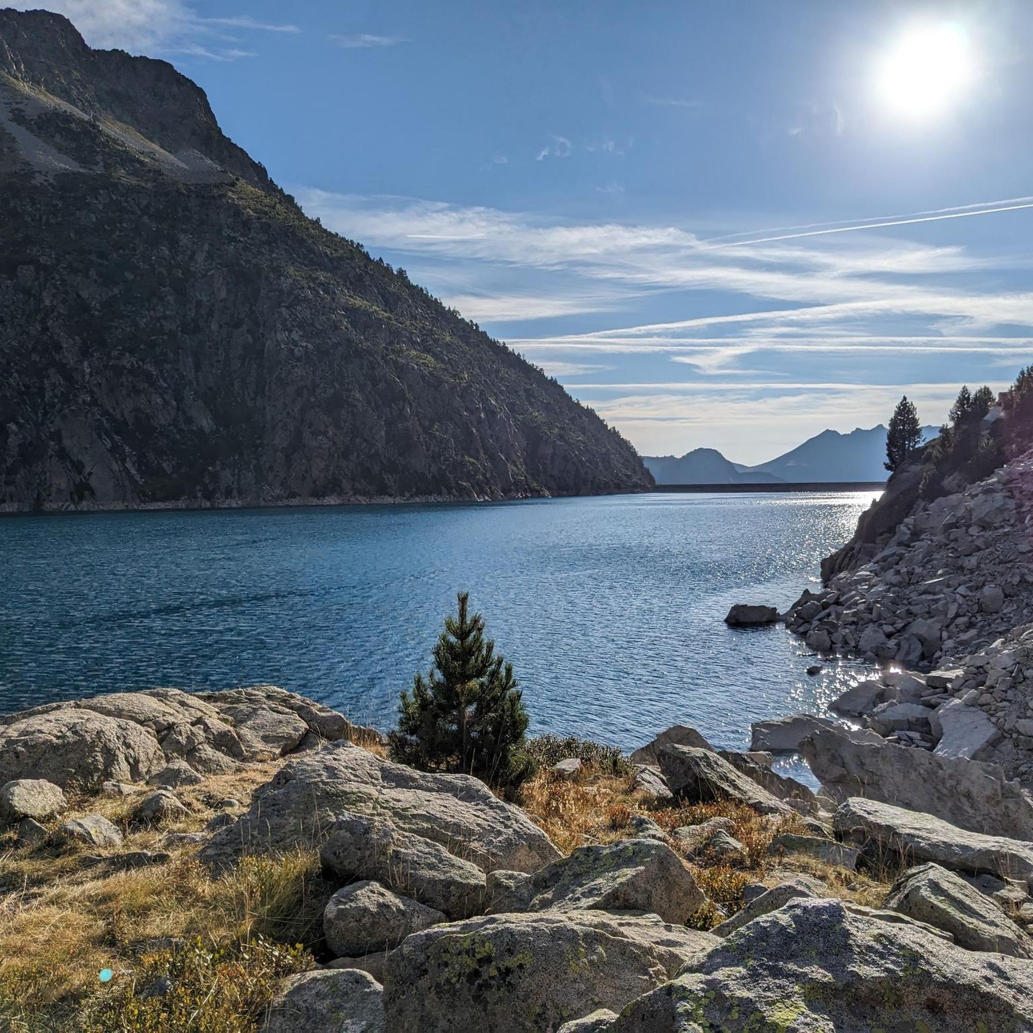
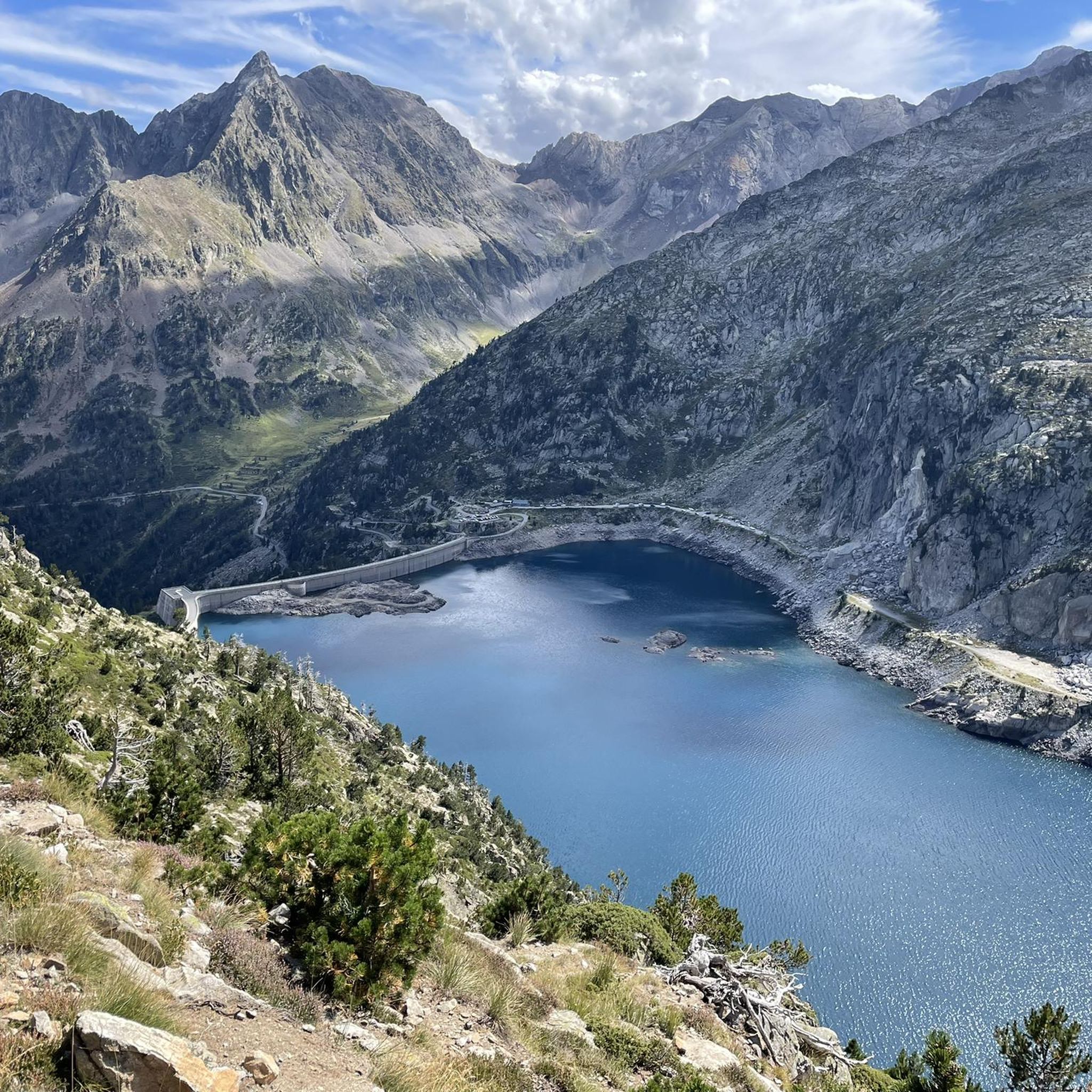
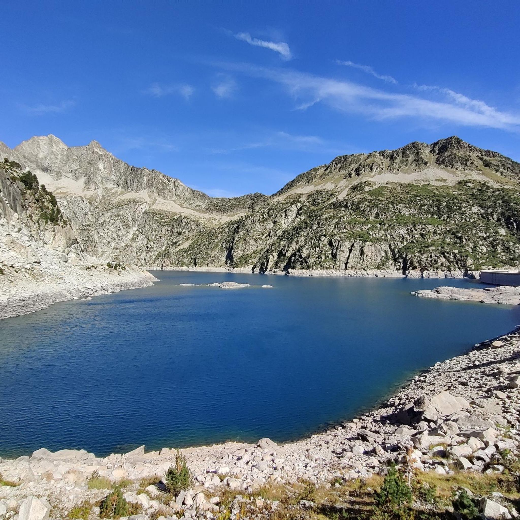
Hiking around Lac de Cap-de-Long offers access to high-altitude alpine landscapes within the Hautes-Pyrénées department of France. Situated at an elevation of 2,161 meters (7,089 feet), the region is characterized by its large reservoir, rugged, rock-strewn scenery, and numerous other lakes within the Néouvielle Nature Reserve. The area features dramatic mountain terrain, including the impressive dam of Lac de Cap-de-Long, providing a challenging environment for hikers.
Best hiking trails around Lac de Cap-de-Long
- The most popular hiking route is Campbieil…
Last updated: September 1, 2026
4.7
(20)
207
hikers
12.5km
06:31
1,100m
1,090m
Hard hike. Very good fitness required. Mostly accessible paths. Sure-footedness required.
4.2
(5)
21
hikers
Moderate hike. Good fitness required. Mostly accessible paths. Sure-footedness required.

Sign up for free
5.0
(7)
50
hikers
12.9km
06:40
1,060m
1,060m
Hard hike. Very good fitness required. Mostly accessible paths. Sure-footedness required.
4.5
(4)
91
hikers
9.38km
05:06
890m
900m
Hard hike. Very good fitness required. Mostly accessible paths. Sure-footedness required.
5.0
(3)
25
hikers
3.88km
01:57
320m
330m
Moderate hike. Good fitness required. Mostly accessible paths. Sure-footedness required.
Get access to more routes and recommendations from other explorers.
Sign up for free
Already have an account?
Our route recommendations are based on thousands of hikes, rides, and runs completed by other people on komoot.
Start today with a free account
Your next adventure awaits.
Login or Signup
Popular around Lac de Cap-de-Long

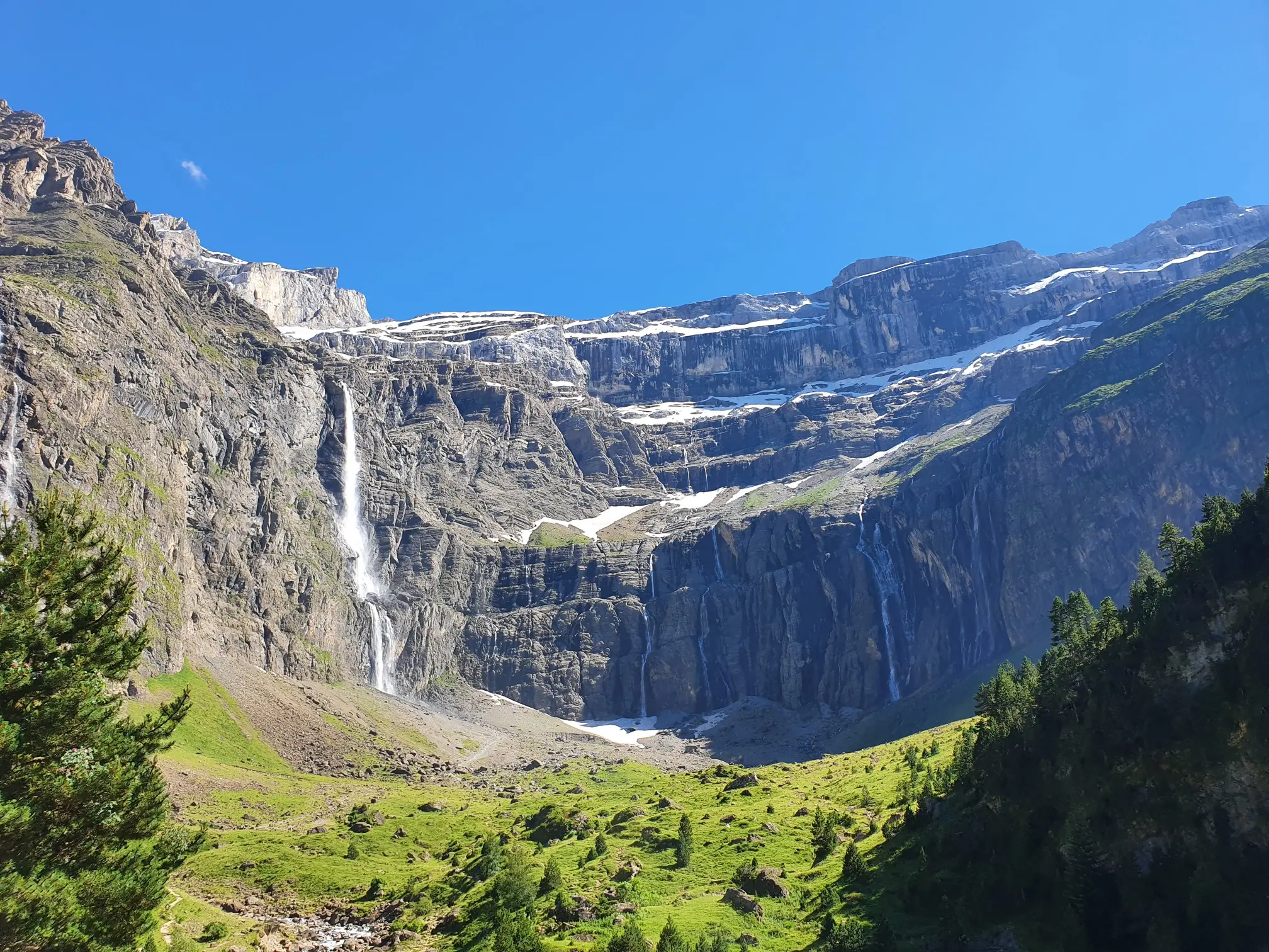
Panoramic Pyrenees – 15 hikers' peaks of over 3,000 metres
In the heart of the massif – the best hikes in the Central Pyrenees
Road Cycling Routes around Lac de Cap-de-Long
Running Trails around Lac de Cap-de-Long
MTB Trails around Lac de Cap-de-Long
Cycling around Lac de Cap-de-Long
Mountain Hikes around Lac de Cap-de-Long

Tips from the Community

An accessible 3000m peak with a magnificent view of the Piau-Engaly resort and the Cap de Long lake. Be careful of the slab before the summit which can be a bit dizzying
0
0

Wonderful landscape. I had planned it more by chance.
0
0

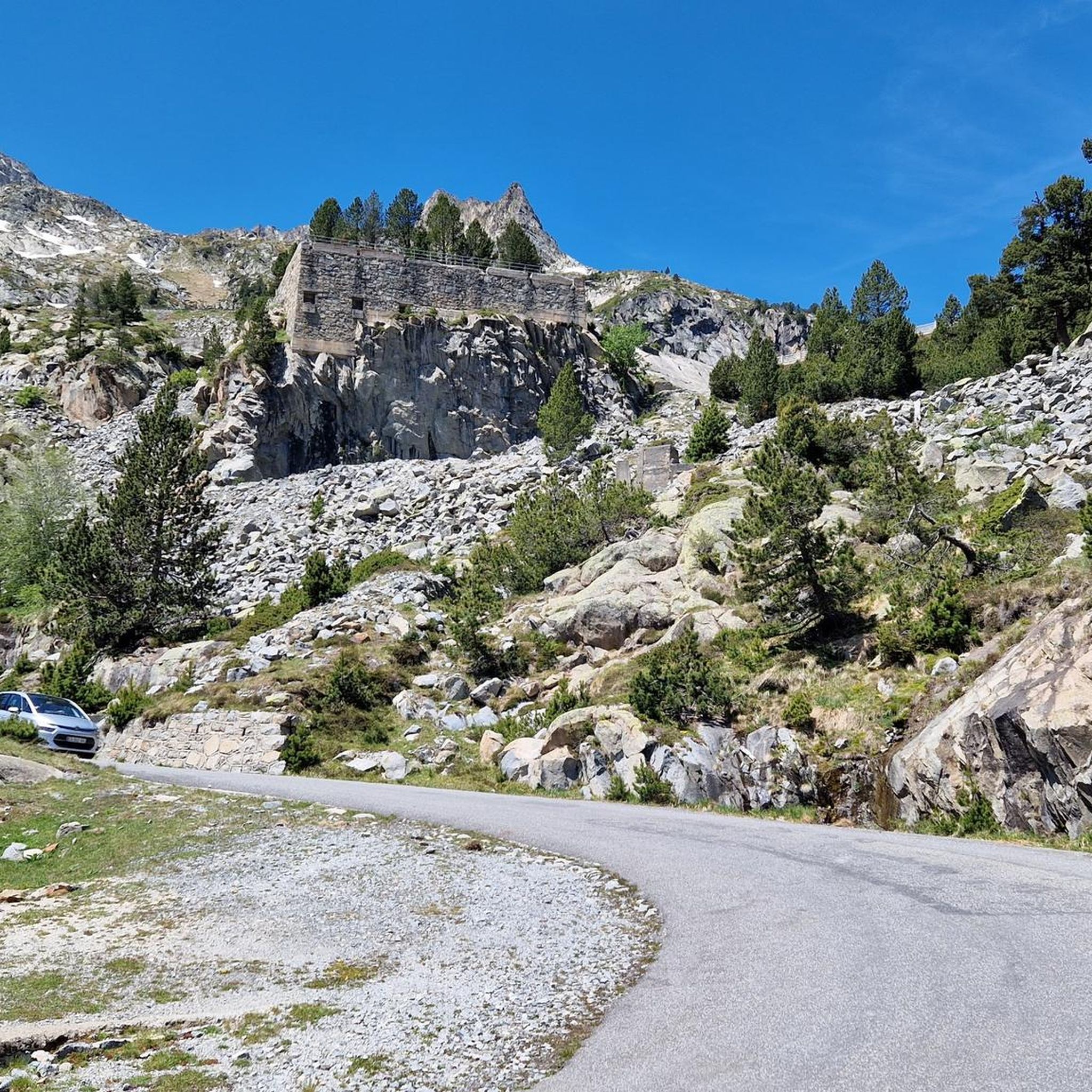
Small Pyrenean road, little frequented by cyclists, but perhaps one of the most beautiful in the Pyrenees in a high mountain atmosphere
0
1

Be careful of the descent and the sometimes violent wind arriving at the top of the pas de gat. The view is exceptional
2
0

During the climb you can take a nice break here and enjoy the view over the valley.
0
0
The Pic du Campbieil is easy to reach; when ascending or descending to the east there is only a slightly exposed, 20m long passage over a steeper stone slab. Mainly a matter of your head, but to the left there is a steep descent over the grade and slipping leads directly onto the scree field. Before/after it just continues.
0
0
The Pic d'Estaragne is relatively easy to reach for a 3000m peak. The ascent and descent from the north can be hiked in its entirety. The real summit is about 10 minutes further west of the summit indicated on Komoot and the first viewpoint towards the Spanish Pyrenees that you reach. Once at the top, you can follow the summit ridge and reach two more pics. The terrain becomes a little more difficult, but still doable.
0
0
Frequently Asked Questions
How many hiking trails are available around Lac de Cap-de-Long?
There are over 140 hiking trails around Lac de Cap-de-Long, offering a wide range of options from easy walks to challenging high-alpine treks. The area is known for its rugged, rock-strewn scenery and numerous lakes within the Néouvielle Nature Reserve.
Are there any easy hiking trails suitable for beginners or families?
Yes, while many routes are challenging, there are a few easier options. For a moderate, shorter loop around the lake itself, consider the Cap de Long Lake – Cap-de-Long Lake loop, which is about 3.7 km. Another moderate option is the Cap de Long Lake – Lake Cap-de-Long loop, covering about 4.6 km.
What kind of terrain can I expect on hikes in this region?
The terrain around Lac de Cap-de-Long is predominantly rugged and rock-strewn, characteristic of a high-alpine environment. You'll encounter dramatic mountain landscapes, high-altitude reservoirs, and numerous other lakes. Trails can vary from well-defined paths to more challenging, rocky ascents, often requiring good fitness and sure-footedness.
What are the most scenic natural features to look out for?
The centerpiece is the impressive Lac de Cap-de-Long itself, with its over 100-meter-high dam. The region is part of the Néouvielle Massif, home to some 70 lakes and cascading waterfalls, including notable ones like Lac d'Orédon, Lac d'Aubert, and Lac d'Aumar. You'll also find panoramic views of surrounding mountains, such as the Crête des Alharisses.
Are there any circular hiking routes around Lac de Cap-de-Long?
Yes, several routes offer circular options. For a challenging high-alpine experience, consider the Cap de Long Lake – Pic de Campbieil loop. A slightly shorter, but still difficult, loop is the Cap de Long Lake – Estaragne Peak loop. For moderate options, there are also shorter loops directly around the lake.
What do other hikers say about the trails in Lac de Cap-de-Long?
The trails around Lac de Cap-de-Long are highly regarded by the komoot community, with an average rating of 4.6 stars from over 1300 reviews. Hikers often praise the stunning high-alpine landscapes, the dramatic views of the lake and surrounding peaks, and the challenging yet rewarding nature of the routes.
Is Lac de Cap-de-Long suitable for dog-friendly hikes?
As Lac de Cap-de-Long is located within the Néouvielle Nature Reserve, specific regulations regarding dogs may apply to protect the abundant flora and fauna. It's generally advisable to keep dogs on a leash in protected areas. Always check local signage or park regulations before heading out with your dog.
What is the best time of year to go hiking in Lac de Cap-de-Long?
The best time for hiking around Lac de Cap-de-Long is typically during the warmer months, from late spring to early autumn (roughly June to September), when the snow has melted and the trails are accessible. Due to its high altitude (2,161 meters), conditions can change rapidly, even in summer. Always check weather forecasts before your hike.
Are there any specific peaks or challenging ascents recommended for experienced hikers?
Experienced hikers looking for a challenge can consider the ascent to Campbieil peak, a demanding route offering extensive views. Another popular and difficult option is the Cap de Long Lake – Pic de Campbieil loop, which provides panoramic vistas of the high mountain environment.
How accessible is Lac de Cap-de-Long by public transport or car?
Lac de Cap-de-Long is generally accessed by car, often via the scenic "Route des Lacs" which leads through the Néouvielle Nature Reserve. Parking is usually available near the dam or at other designated spots. Public transport options directly to the high-altitude lake are limited, so planning for private vehicle access is recommended.
Are there any waterfalls to see on the hiking trails?
Yes, the Néouvielle Massif, where Lac de Cap-de-Long is situated, is known for its numerous cascading waterfalls in addition to its many lakes. While specific named waterfalls might vary by route, you can expect to encounter several beautiful water features throughout the diverse trail network, especially during periods of snowmelt.
Most popular routes around Lac de Cap-de-Long

Get inspired with the komoot mobile app


Explore more
Browse the best Hikes in other regions.
