Easy hikes and walks around Lac de Cap-de-Long
4.6
(1642)
18,769
hikers
153
hikes
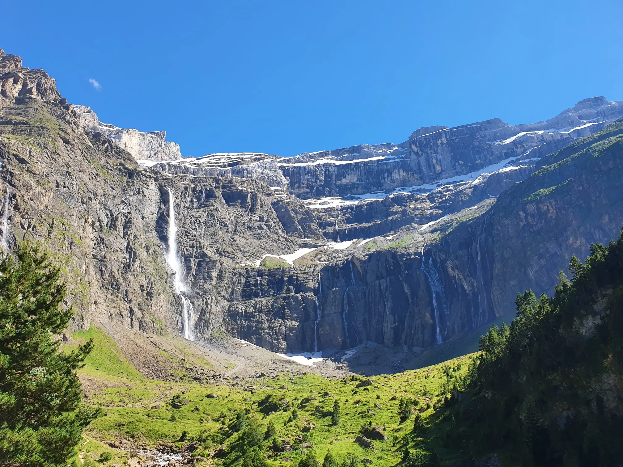
Easy hiking trails around Lac de Cap-de-Long are situated within the high-mountain landscapes of the Néouvielle massif and Nature Reserve in the Hautes-Pyrénées, France. The area is characterized by a vast reservoir, rugged, rock-strewn surroundings, and a backdrop of majestic peaks. Hikers can explore diverse ecosystems, from dense mountain pine forests to more open alpine environments. The region features numerous lakes and offers varied terrain suitable for easy walks.
Best easy hiking trails around Lac de Cap-de-Long
- The most popular…
Last updated: August 24, 2026
4.0
(6)
17
hikers
3.05km
01:02
160m
160m
Easy hike. Great for any fitness level. Easily-accessible paths. Suitable for all skill levels.
3.5
(8)
76
hikers
3.61km
01:21
240m
240m
Easy hike. Great for any fitness level. Easily-accessible paths. Suitable for all skill levels.

Sign up for free
18
hikers
5.34km
01:41
220m
220m
Easy hike. Great for any fitness level. Easily-accessible paths. Suitable for all skill levels.
4.0
(1)
8
hikers
5.10km
01:44
270m
260m
Easy hike. Great for any fitness level. Easily-accessible paths. Suitable for all skill levels.
8
hikers
3.96km
01:17
170m
170m
Easy hike. Great for any fitness level. Easily-accessible paths. Suitable for all skill levels.
Get access to more routes and recommendations from other explorers.
Sign up for free
Already have an account?
Our route recommendations are based on thousands of hikes, rides, and runs completed by other people on komoot.
Start today with a free account
Your next adventure awaits.
Login or Signup
Popular around Lac de Cap-de-Long


Tips from the Community


A small forest cabin, a nice destination for a short family hike. There are information panels about the capercaillie.
0
0

Large car park at the foot of the Tourmalet, there is a bike park here and there are opportunities to walk to the Néouveille lakes.
0
0

Very worth seeing, you have to see it
0
0
Very worth seeing, you have to see it
0
1
Very worth seeing, you have to see it
0
0

This figure must be present on every tour over the Col du Tourmalet 👌🏽😂
0
0

mythical and EPIC port of the Pyrenees. It is the highest 2115mts
3
0
Frequently Asked Questions
How many easy hiking trails are available around Lac de Cap-de-Long?
The region offers a variety of hiking experiences, with at least 4 easy trails specifically identified. Overall, there are over 140 hiking routes in the area, ranging from easy to difficult.
What are some easy circular routes around Lac de Cap-de-Long?
You can enjoy several easy circular routes. For instance, the Mountain lake loop from Piau Engaly is a 3.5 km trail offering scenic views. Another option is the Col du Tourmalet – Lac Bleu loop from Col du Tourmalet, which is 5.4 km and includes a visit to Lac Bleu.
Are there any easy trails suitable for families with children?
Yes, many of the easy trails are suitable for families. The Hiking loop from Barèges is a shorter, 2.3 km route with minimal elevation gain, making it a good choice for younger hikers. The area's diverse ecosystems, from pine forests to alpine environments, offer engaging scenery for all ages.
Can I bring my dog on the easy hiking trails around Lac de Cap-de-Long?
Lac de Cap-de-Long is situated within the Néouvielle Nature Reserve, which has specific regulations regarding dogs to protect its diverse wildlife. Generally, dogs are allowed on trails but must be kept on a leash. Always check local signage or the park's official guidelines for the most current information on specific trail restrictions.
What kind of natural landmarks or viewpoints can I expect on easy hikes?
Easy hikes in the region often feature stunning high-mountain landscapes, including views of the vast Lac de Cap-de-Long reservoir and its impressive 100-meter-high dam. You'll also encounter numerous other glacial lakes, such as Lac d'Orédon, Lac d'Aubert, and Lac d'Aumar, which are part of the scenic 'Route des Lacs'.
What is the best time of year to visit Lac de Cap-de-Long for easy hiking?
The best time for easy hiking is typically from late spring to early autumn (June to September) when the snow has melted, and the weather is generally mild. The scenic access road (D929) to Lac de Cap-de-Long is usually open during these months, providing access to trailheads and parking.
Are there parking facilities available near the easy hiking trails?
Yes, a large parking lot is available at the end of the D929 (Route des Lacs) near Lac de Cap-de-Long, providing convenient access to the area's trails. Other trailheads, such as those for the ONF cabin at L'Ayré loop from Barèges, also have nearby parking.
What is the typical duration for an easy hike in this area?
Easy hikes around Lac de Cap-de-Long vary in length and duration. For example, the Mountain lake loop from Piau Engaly takes approximately 1 hour 10 minutes to complete, while the Treck Yo – Tournaboup loop from Tournaboup is about 1 hour 17 minutes.
What do other hikers enjoy most about the easy trails around Lac de Cap-de-Long?
The area is highly rated by the komoot community, with an average score of 4.6 stars. Reviewers often praise the stunning high-mountain landscapes, the tranquility of the Néouvielle massif, and the diverse scenery that includes glacial lakes, pine forests, and rugged alpine environments.
Are there any cafes or amenities near the easy hiking routes?
A café is available near the large parking lot at Lac de Cap-de-Long, offering refreshments after your hike. For more extensive amenities, including restaurants and accommodation, you would typically find options in nearby villages like Barèges or those along the 'Route des Lacs'.
Is public transport an option to reach Lac de Cap-de-Long?
While the D929 (Route des Lacs) provides scenic road access, direct public transport options to Lac de Cap-de-Long itself are limited. It's advisable to check local bus schedules or consider carpooling services from larger towns in the Hautes-Pyrénées region if you plan to rely on public transport.
What kind of wildlife can I spot on easy trails in the Néouvielle Nature Reserve?
The Néouvielle Nature Reserve is home to a rich variety of plant and animal life. While hiking, you might observe typical Pyrenean flora and fauna, including various bird species, marmots, and chamois, especially in the more secluded alpine sections. Remember to maintain a respectful distance and avoid disturbing the wildlife.
Most popular routes around Lac de Cap-de-Long

Get inspired with the komoot mobile app


Explore more
Browse the best Hikes in other regions.
