The best running trails around Lac de Cap-de-Long
4.7
(6)
1,580
runners
29
runs
Jogging routes around Lac de Cap-de-Long are situated within the Néouvielle massif in the Hautes-Pyrénées, a region characterized by rugged, rock-strewn landscapes and towering Pyrenean peaks. The area features numerous lakes, including Lac de Cap-de-Long itself, the largest reservoir in the Pyrénées, held by a 100-meter-high dam. Running trails here often traverse dense mountain pine forests and offer views of green-blue waters encircled by high mountains. The terrain primarily consists of challenging climbs and paths through a pristine natural reserve.
…Last updated: August 28, 2026
4.0
(1)
42
runners
11.8km
02:03
610m
610m
Hard run. Very good fitness required. Sure-footedness, sturdy shoes and alpine experience required.
67
runners
17.5km
03:20
1,050m
1,050m
Hard run. Very good fitness required. Sure-footedness, sturdy shoes and alpine experience required.

Sign up for free
4.0
(1)
42
runners
12.0km
02:09
610m
610m
Hard run. Very good fitness required. Sure-footedness, sturdy shoes and alpine experience required.
15
runners
22.8km
04:02
1,320m
1,320m
Hard run. Very good fitness required. Sure-footedness, sturdy shoes and alpine experience required.
8
runners
18.9km
03:17
950m
950m
Hard run. Very good fitness required. Sure-footedness, sturdy shoes and alpine experience required.
Get access to more routes and recommendations from other explorers.
Sign up for free
Already have an account?
Our route recommendations are based on thousands of hikes, rides, and runs completed by other people on komoot.
Start today with a free account
Your next adventure awaits.
Login or Signup
Popular around Lac de Cap-de-Long

Panoramic Pyrenees – 15 hikers' peaks of over 3,000 metres
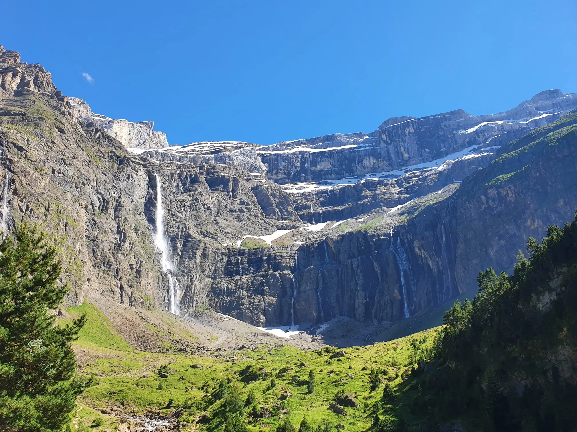
In the heart of the massif – the best hikes in the Central Pyrenees
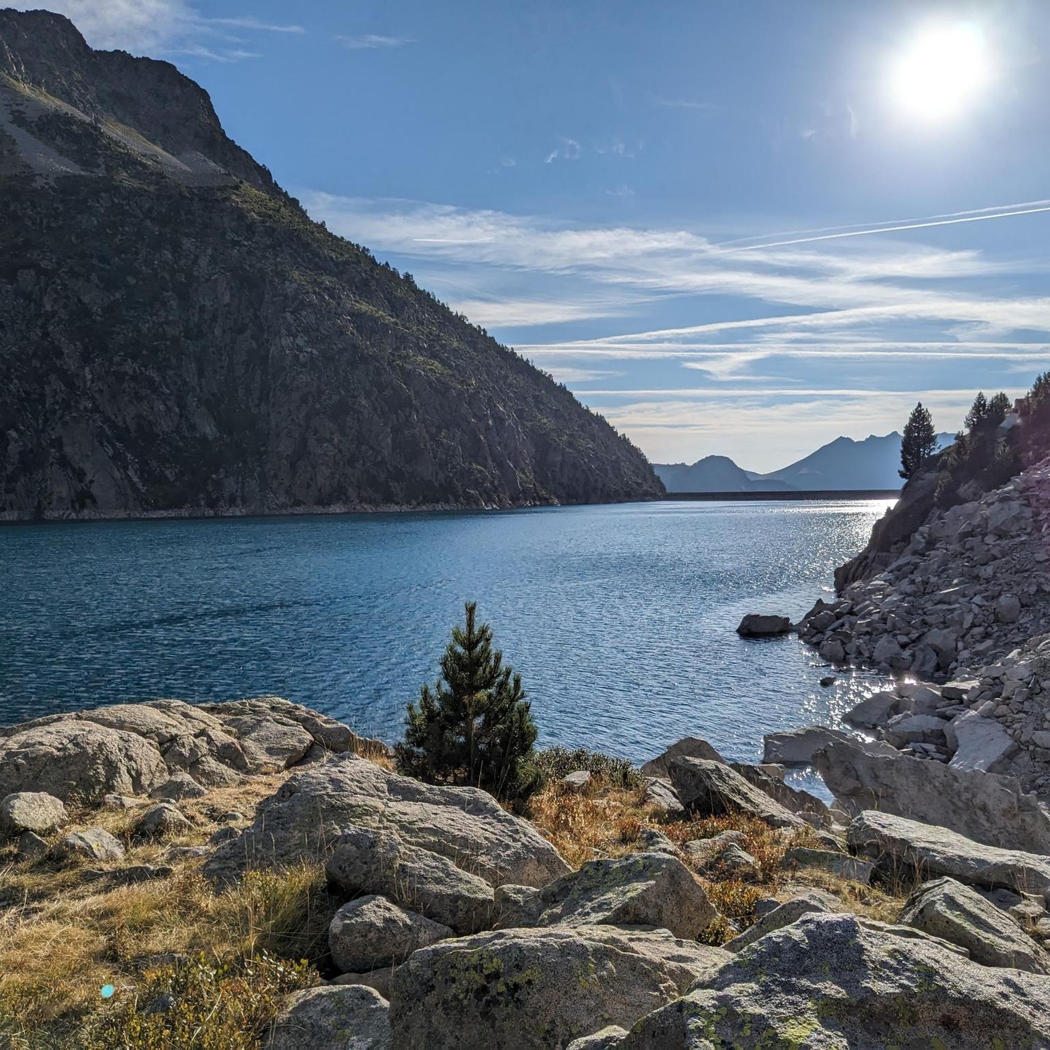
Road Cycling Routes around Lac de Cap-de-Long
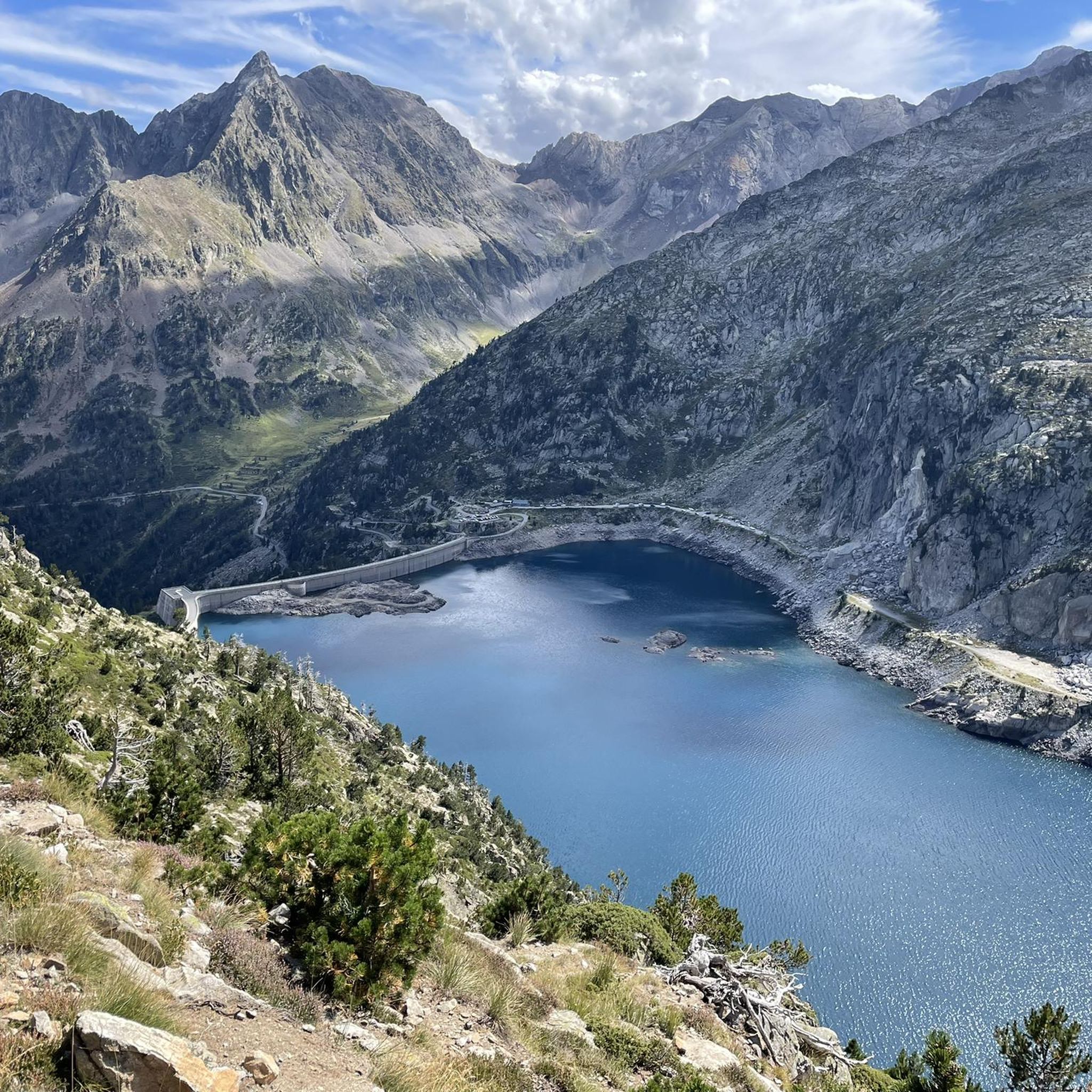
MTB Trails around Lac de Cap-de-Long
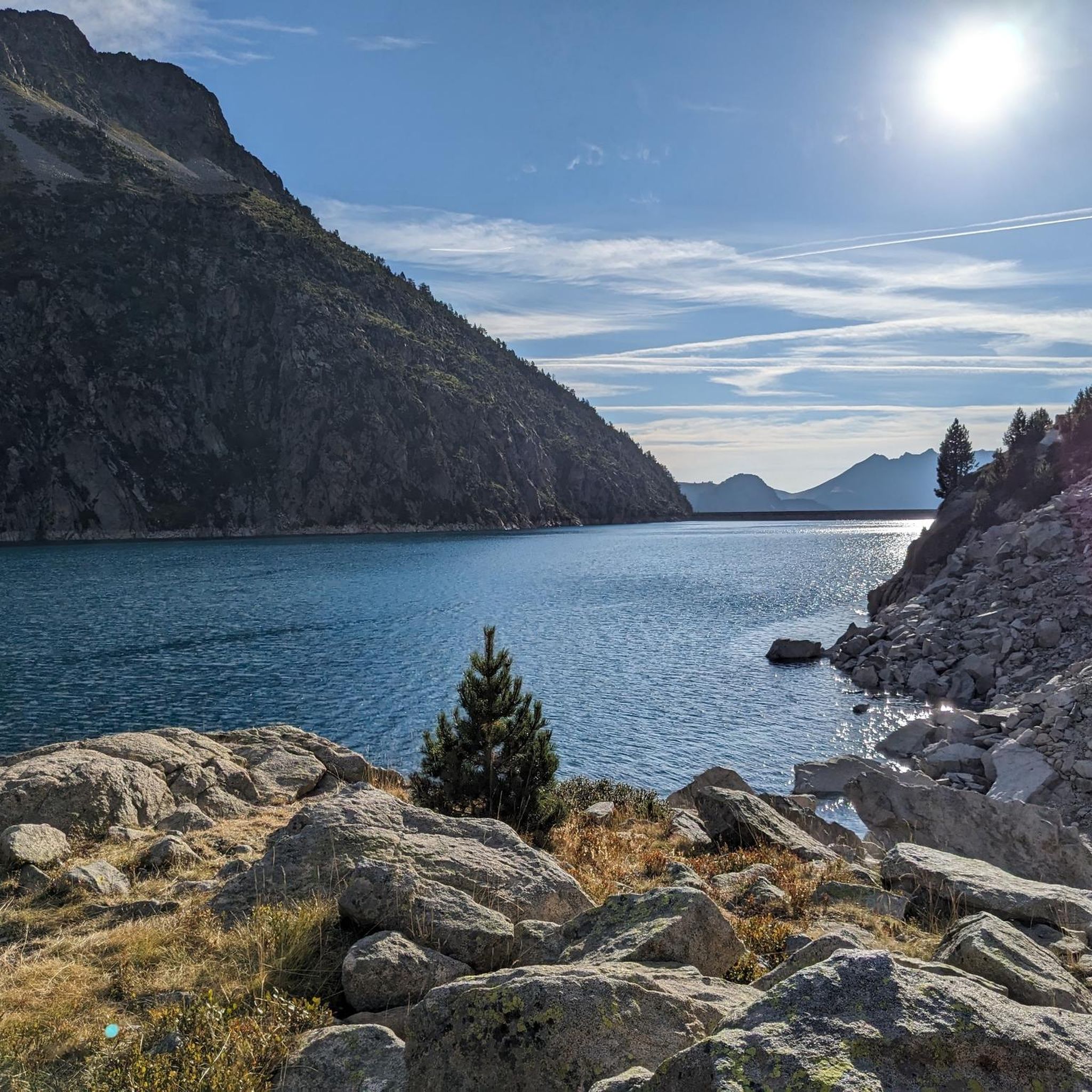
Hiking around Lac de Cap-de-Long
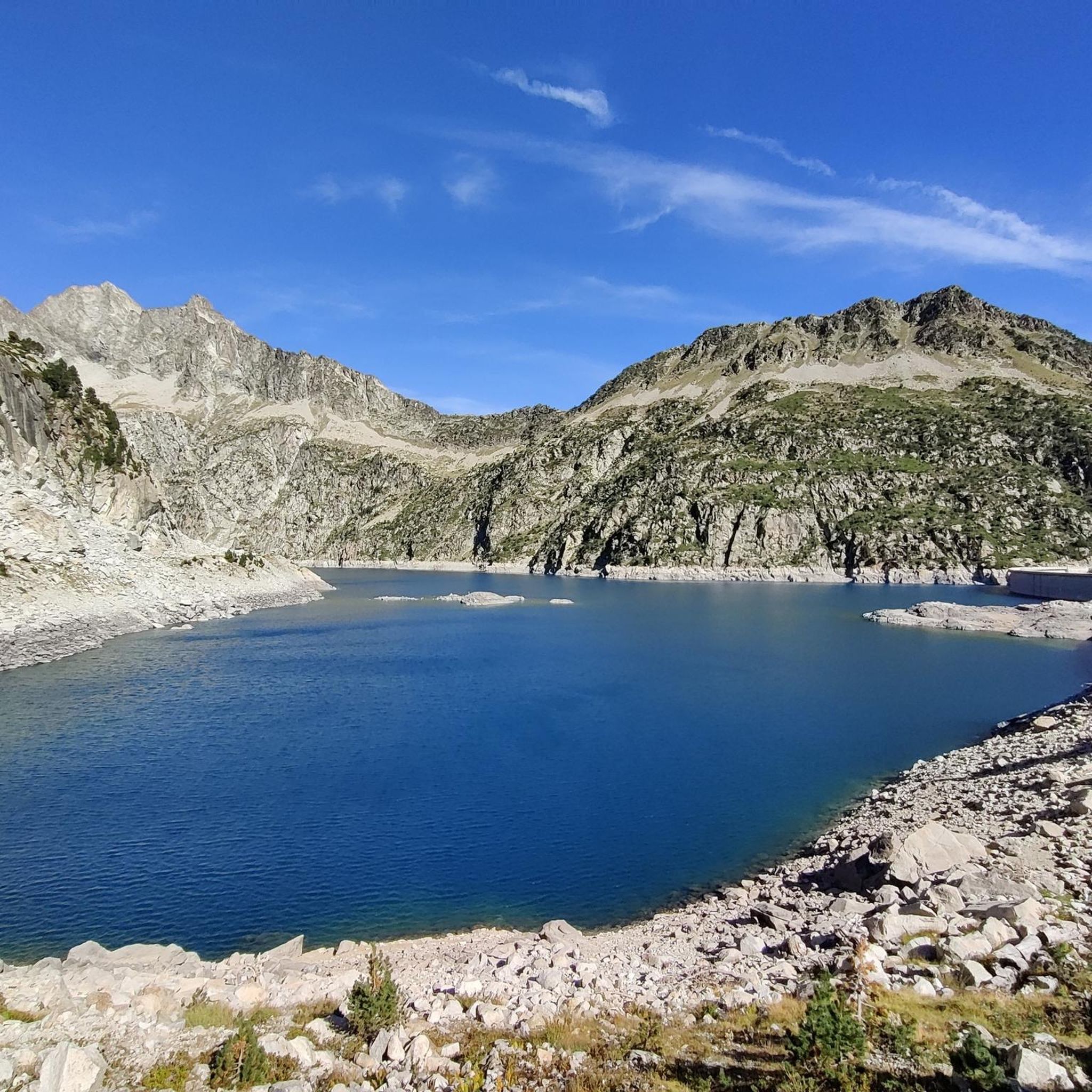
Cycling around Lac de Cap-de-Long
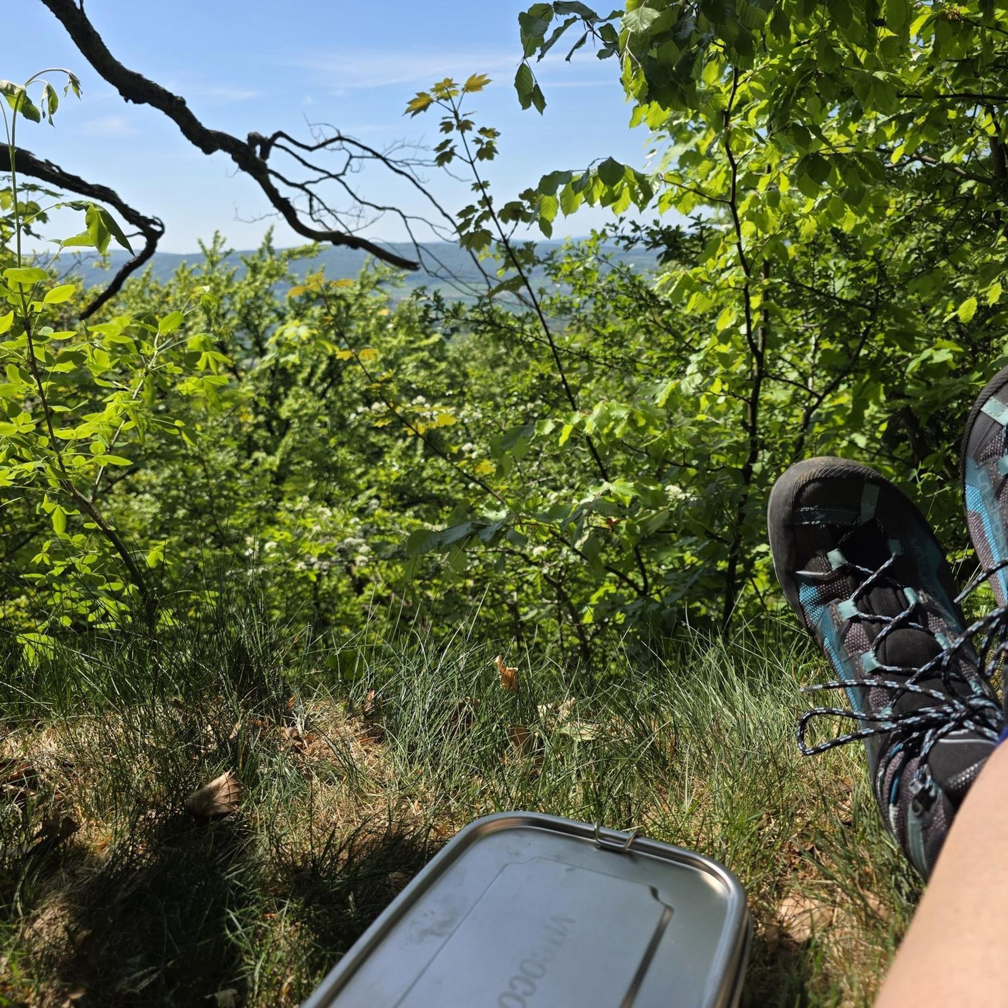
Mountain Hikes around Lac de Cap-de-Long

Tips from the Community

On the climb to Cap d'Long, a detour to this lake is highly recommended. The climb and the scenery above are even more beautiful than the first.
0
0

Magnificent lake with a path allowing you to admire it from all angles.
0
0


The succession of lakes in the opposite direction to what the majority of hikers do is a real eye-opener 🤩 Be careful, departure at 9am from the paid parking lot 🅿️ and we were far from being the first!
0
0

From the pass you can also see the Pic du Midi and a section of the Tourmalet pass road
0
0

Ferratas ravines canyons torrents and all mountains Ferratas ravines canyons torrents and all mountains Realized The mussara toothless Borrowing plan Matarraña ... 608 more ravines Barranc de Manyanet Barran del Salt de la Sallent d'Olot Barranc de Sant Aniol Barranc de la Comella or Canals ... 503 more via ferratas Via Ferrata Las Buitreras K4 or D/TD Via Ferrata Estrechos de Priego K3 or AD Via Ferrata Cabezo Miñaque or La Garapacha K2 or PD Via Ferrata Castillo de Salvatierra K2 or PD Via Ferrata La Villa K2 or PD Via Ferrata Sierra del Lúgar K3 to K5 or AD to TD ... 85 more via ferratas Via Ferrata Las Buitreras K4 or D/TD Via Ferrata Estrechos de Priego K3 or AD Via Ferrata Cabezo Miñaque or La Garapacha K2 or PD Via Ferrata Castillo de Salvatierra K2 or PD Via Ferrata La Villa K2 or PD Via Ferrata Sierra del Lúgar K3 to K5 or AD to TD ... 89 more Els Ports canyon BARANCO DE LA CARAMELLA RAÇÓ DE LA GRALLA CANYON CANAL DE LA CASTELLONA BARANC DELS HORTS DE UEC (DEGOTALLS) ... 199 more ferratas france Saint-Ours VF VF the ridges of Combe-la-Roche VF Pre Premier VF des Rochers de la Clapière ... 55 more Barrancos Catalonia Forest of Serradell king Wives they will be ... 519 more ravines Papuans Barranco el Gargantón poyatos Barranco de Consusa Inferior ... 725 more Waypoints Torca de Bañuelos Cave of Peña Ladrero La Tuda Cave Cave of San Pedro I ... 1954 more
0
0

a superb hike to do. Very impressive when the dam is under construction and the lake is almost empty.
0
0
Enjoy this superb, long hike. Plan the day and an early departure. Enjoy the view and above all take a good look at the weather forecast the evening before and in the morning before leaving. Bring good walking shoes, not sneakers.
0
0
Frequently Asked Questions
How many running routes are available around Lac de Cap-de-Long?
There are over 30 dedicated running routes around Lac de Cap-de-Long, offering a wide range of experiences for trail runners. The komoot community has explored these trails extensively, with nearly 2000 runners using them.
What kind of terrain can I expect on the jogging trails in this region?
The terrain around Lac de Cap-de-Long is primarily rugged and mountainous, characterized by challenging climbs and paths through a pristine natural reserve. You'll encounter rock-strewn landscapes, dense mountain pine forests, and high mountain passes, often with significant elevation changes. Most routes are rated as difficult, requiring good fitness and sure-footedness.
Are there any circular running routes around Lac de Cap-de-Long?
Yes, several excellent circular routes allow you to experience the stunning scenery. A popular option is the Cap de Long Lake loop from Lac de Cap-de-Long, which offers consistent views of the reservoir and surrounding peaks. Another great loop is the Lac d'Aumar loop from Lac d'Oredon, taking you through beautiful lake country.
What natural features and landmarks can I see while running near Lac de Cap-de-Long?
The region is rich in natural beauty. You'll be surrounded by majestic Pyrenean peaks and the impressive Cap-de-Long Dam, which holds the largest reservoir in the Hautes-Pyrénées. The trails often pass through the Néouvielle Nature Reserve, known for its abundant flora and fauna, and you'll encounter numerous other beautiful lakes like Lac d'Orédon, Lac d'Aubert, and Lac d'Aumar along the scenic "Route des Lacs".
Are there any easier or beginner-friendly jogging routes in the area?
While most routes around Lac de Cap-de-Long are rated as difficult due to the mountainous terrain and significant elevation gain, there are some options that might be more accessible for those with a good fitness level. For example, a 3.7km loop around Cap-de-Long Lake itself offers a less strenuous experience compared to the longer, high-altitude trails. However, it's important to note that even these routes will involve some challenging sections.
What do other runners say about the trails around Lac de Cap-de-Long?
The running trails in this area are highly regarded by the komoot community, with an average rating of 4.3 stars from around 10 reviews. Runners frequently praise the breathtaking mountain vistas, the pristine natural environment of the Néouvielle massif, and the challenging yet rewarding nature of the routes. The remote tranquility is also a highlight for many.
Can I bring my dog on the running trails?
The Néouvielle Nature Reserve, where many of these trails are located, has specific regulations regarding dogs to protect its delicate ecosystem. Generally, dogs are permitted but must be kept on a leash. It's always best to check local signage or the official park website for the most current rules before heading out with your canine companion.
What is the best time of year for jogging around Lac de Cap-de-Long?
The best time for jogging around Lac de Cap-de-Long is typically from late spring to early autumn (June to September) when the weather is most favorable, and the trails are clear of snow. During these months, you'll experience pleasant temperatures and the full beauty of the alpine flora. Winter running is possible but requires specialized gear, experience with snow and ice, and awareness of avalanche risks.
Are there any longer, more challenging running routes for experienced trail runners?
Absolutely. For experienced trail runners seeking a significant challenge, the region offers several demanding routes. The Cap de Long Lake – Campbieil Peak loop from Lac de Cap-de-Long is a difficult 12.5 km trail with over 1,000 meters of elevation gain, leading to impressive peaks. Another substantial option is the Lac Dets Coubous – Hourquette d´Aubert loop from Réserve naturelle du Néouvielle, a 17.6 km route through the heart of the reserve.
Is parking available near the trailheads?
Yes, parking is generally available at key access points along the "Route des Lacs" which leads to Lac de Cap-de-Long and other nearby lakes. Specific parking areas can be found near Lac d'Oredon and at the base of the Cap-de-Long dam. During peak season, these areas can fill up, so arriving early is advisable.
Are there any opportunities for wild swimming after a run?
While Lac de Cap-de-Long is a large reservoir, the Néouvielle Nature Reserve is home to around 70 lakes, many of which are pristine mountain lakes. Some of these smaller, natural lakes might offer opportunities for a refreshing dip after a run, depending on local regulations and water temperatures. Always be mindful of the cold water and any environmental restrictions in place.
Most popular routes around Lac de Cap-de-Long

Get inspired with the komoot mobile app


Explore more
Browse the best Running Trails & Routes in other regions.
